
Fairangel Valley
Quick report
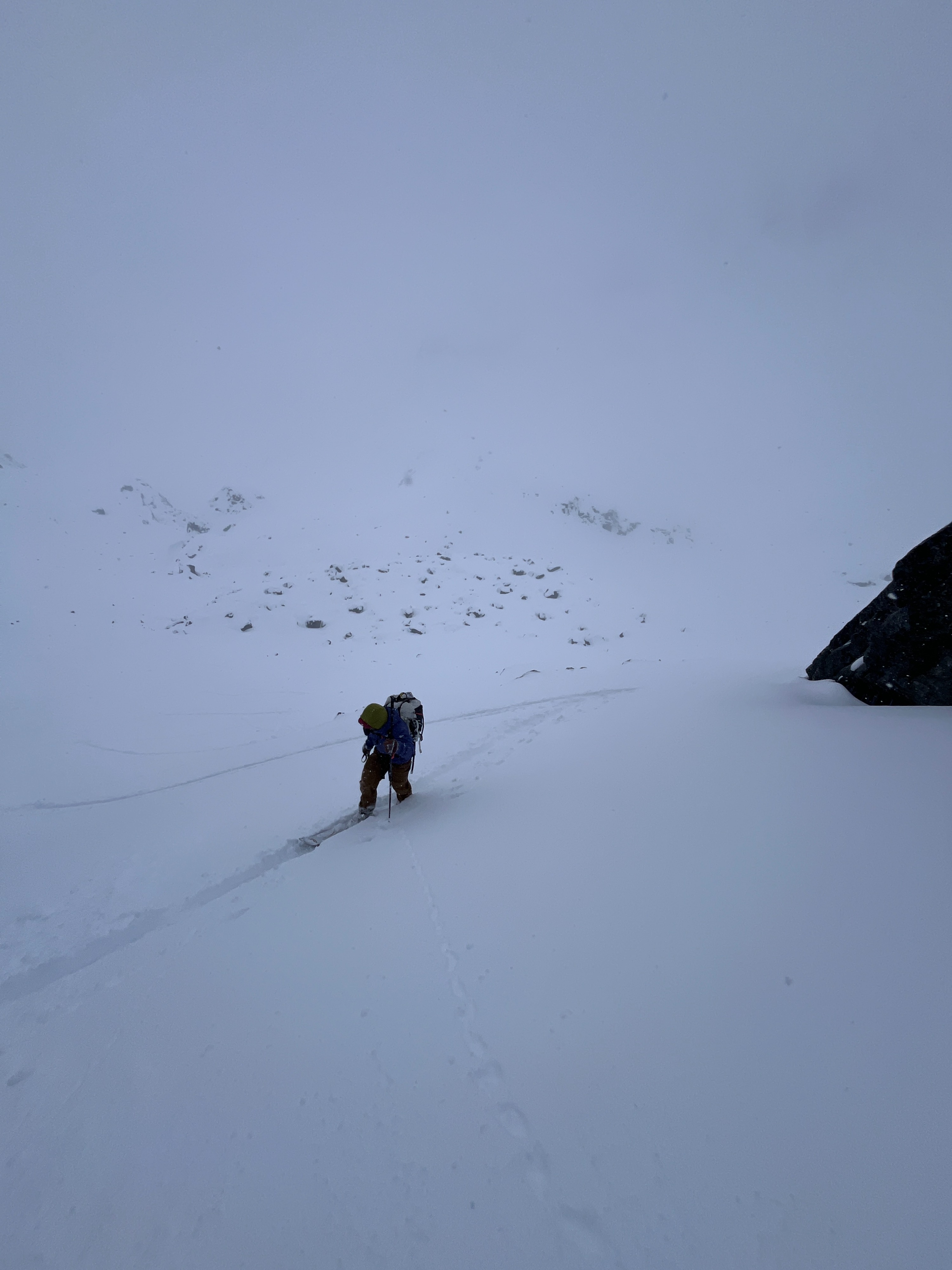
We found 6-8" of new snow above partially refrozen crusts below 4000' with stout, thick crusts above 4000'. This new snow was unreactive to ski cuts this morning, but as the snow settled and became moist, we were able to trigger small slides in steep terrain. These slides were slow-moving and easily managed from above. No naturals were observed in Fairangel Valley—although visibility was very poor. When the clouds broke on our ride back, we saw natural new-snow sluffs across a variety of aspects. These slides were likely caused by rapid warming, beginning as point releases and entraining more snow as they moved downhill.
Weather
- Cloud Cover
- obscured
- Wind Loading
- light
- Recent Snowfall
- 20
- Snow Avail For Transport
- moderate amounts
Mostly overcast or obscured skies, light snowfall through the day, and light winds from the southeast. Little accumulation throughout the day. Skies began to part around 5PM. Temperatures were noticeably warmer after 2PM.
Snowpack
We found 6-8" of new snow on the ground that has fallen since Thursday, 2-4" in the last 24 hours. We found wind drifts up to 1' thick at upper elevations. The new snow seems to be bonding well to the snow surface below, with no results from ski cutting test slopes. This changed in the afternoon as the new snow settled and became dense from the afternoon heat—after 2PM we were able to push off small slides in steep terrain.
We dug on a southeast-facing slope at 4400' and found a moist snowpack to the ground below the new snow. Below the new snow, the upper snowpack had a nice refreeze above 4000'. Near the ground, we found percolation columns and moist facets. Stability tests yielded no results (ECTX).
Avalanche
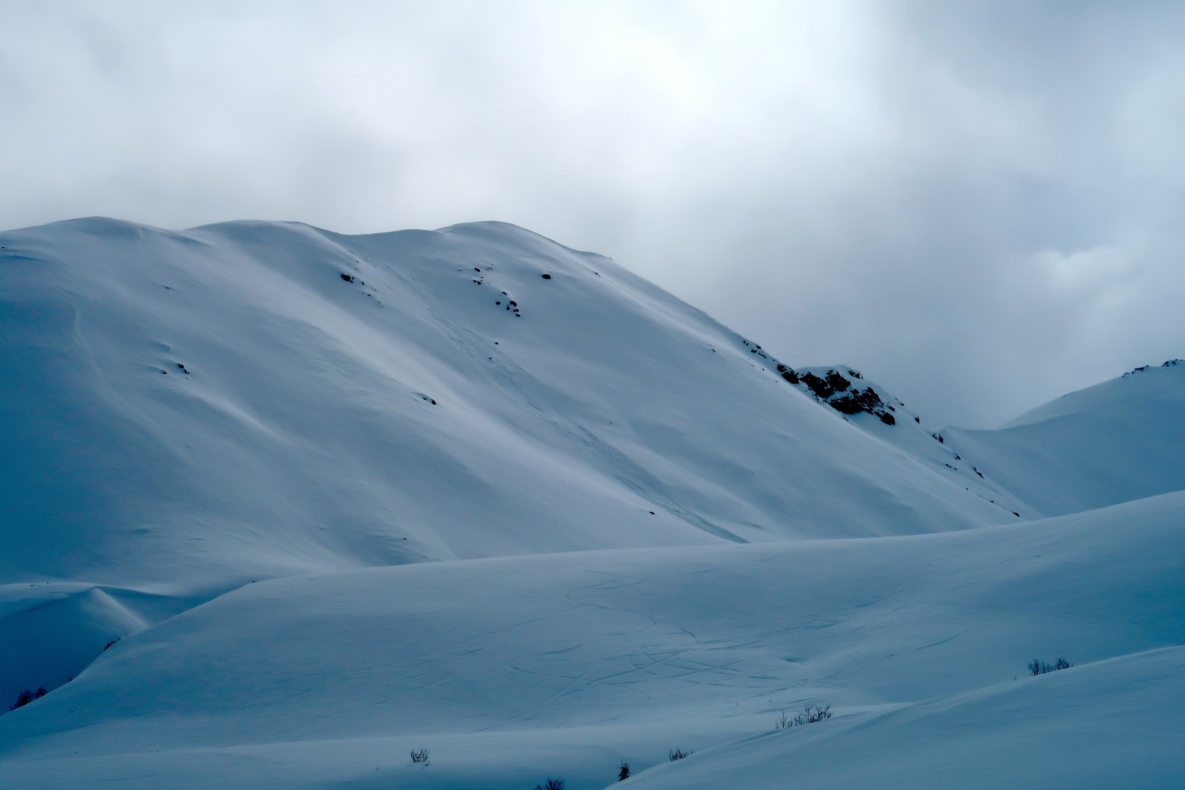
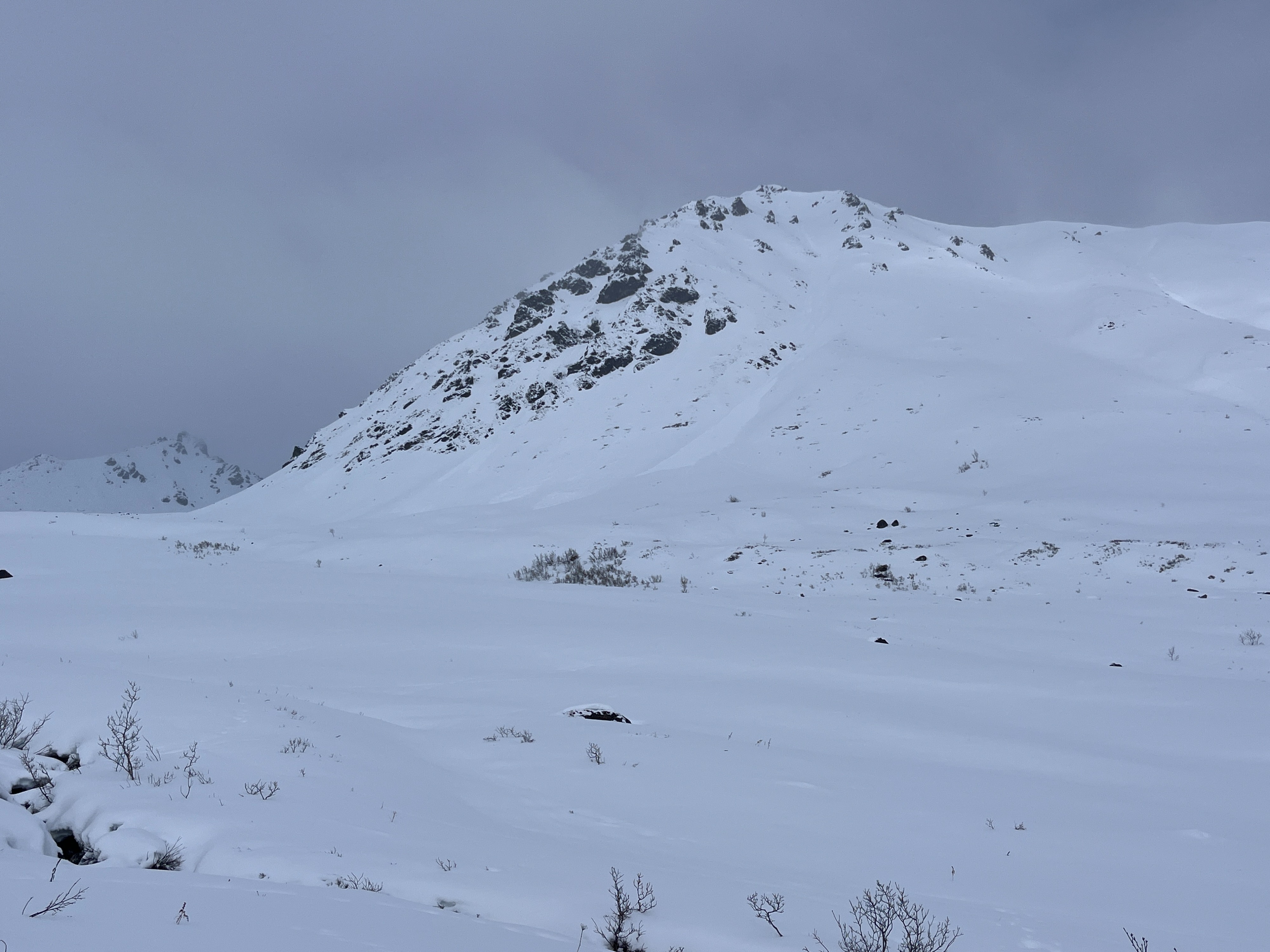
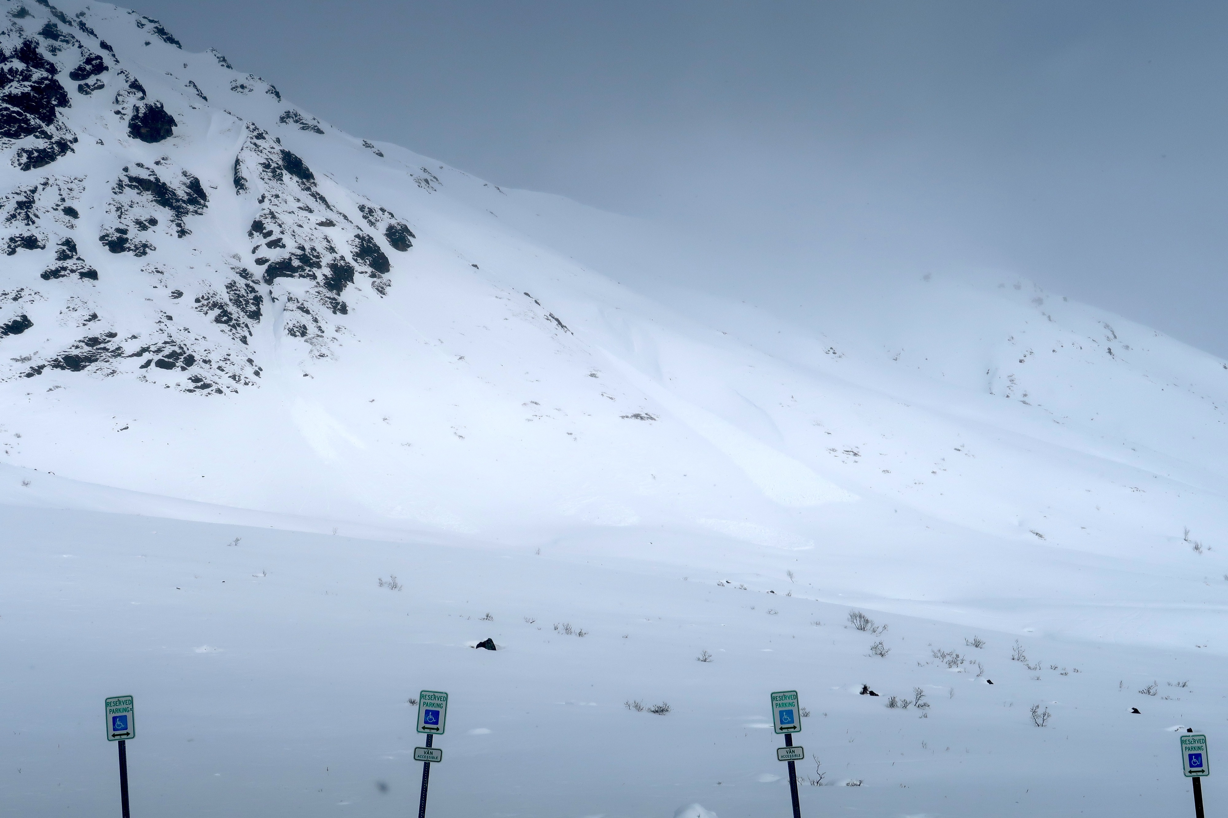
Loose snow slides up to D1.5 on the westerly slope near Marmot, and northerly slopes near Rae-Wallace and the Hatch Peak ridge. (See Photos)