
Quick report
Approached the Inner Basin from the Lockett Meadow side. One can mtb or e-mtb up Lockett Meadow Rd., then continue up the east ridge road all the way to Waterline Rd, and start skinning from there.
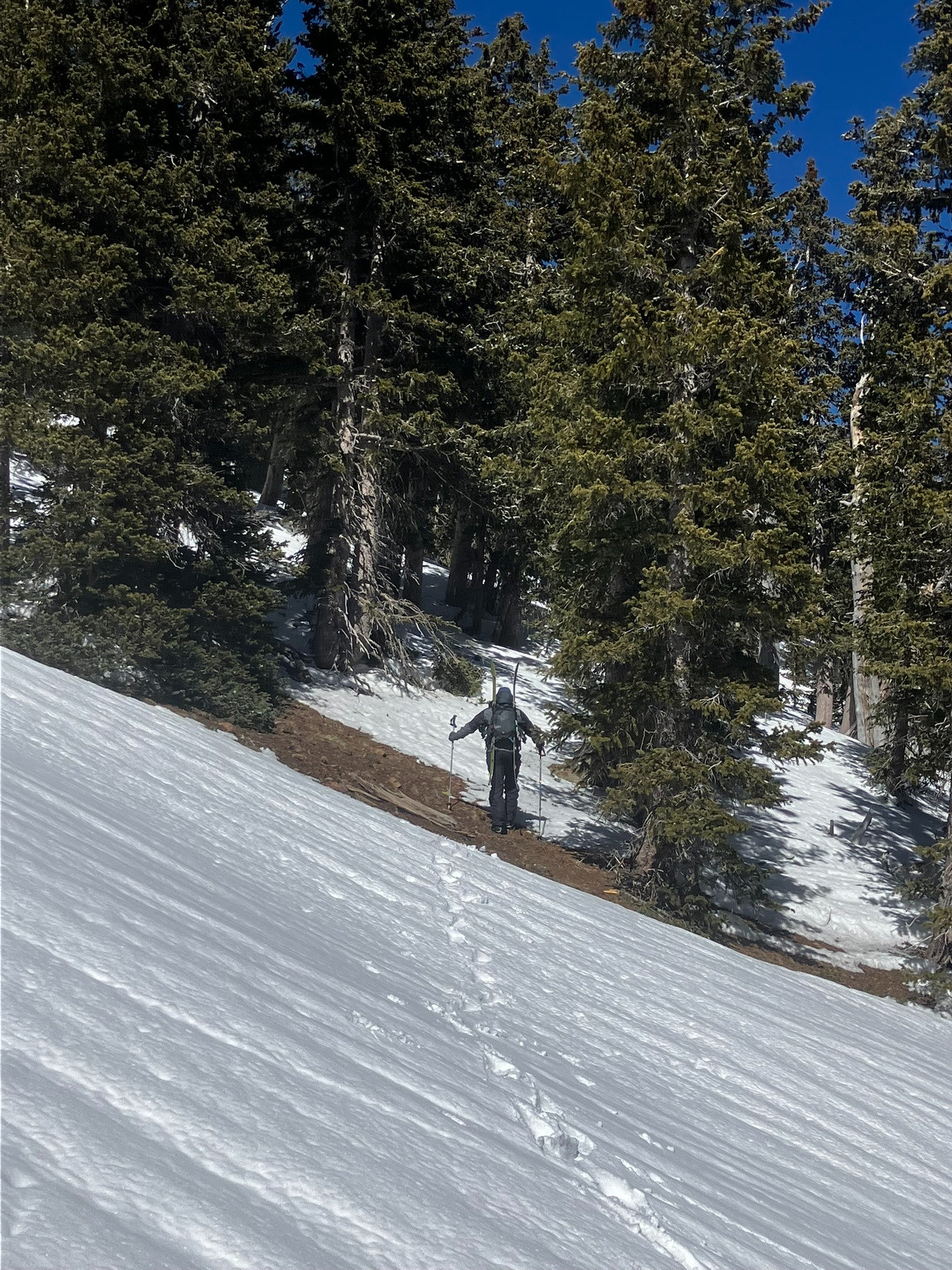
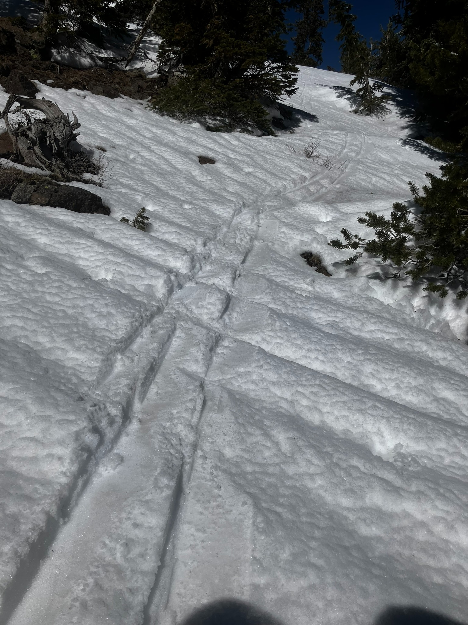
The surface was a frozen melt/freeze crust, with 1-2cm of overnight snow. We did not start to encounter deeper soft powder snow until around 10,400' on shady northerly aspects. Other than ~northerly aspects, all slopes near treeline had a stout m/f crust.
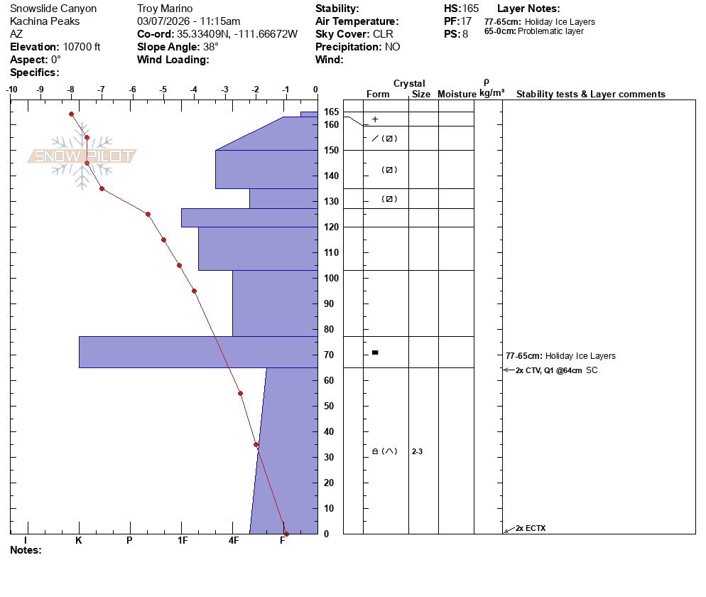
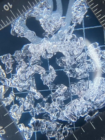
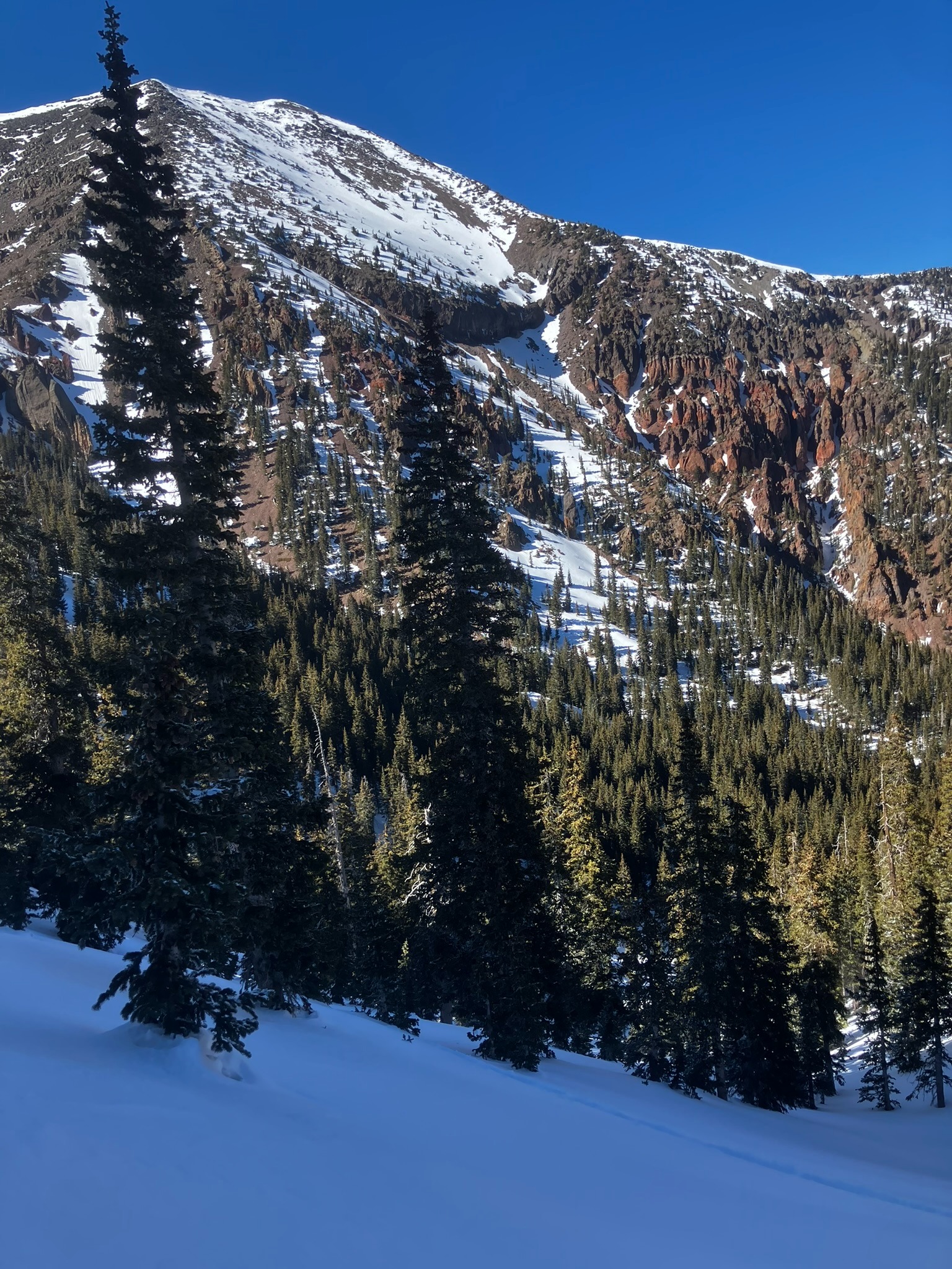
We skinned up to 10,700' in Snowslide Canyon and dug a pit in North facing terrrain. Facets under the Holiday Ice Layer(s) composed the layer of concern (LOC), at about 1m from the surface of the 1.6m deep snowpack. Two small column (CT) instability tests showed that the LOC failed very easily on isolation, scoring CTV. However, two larger column (ECT) instability tests showed no failures, scoring ECTX. We noted that a few frozen percolation columns extended from the ice layers into the facets below. See the snowpit graph and image below.
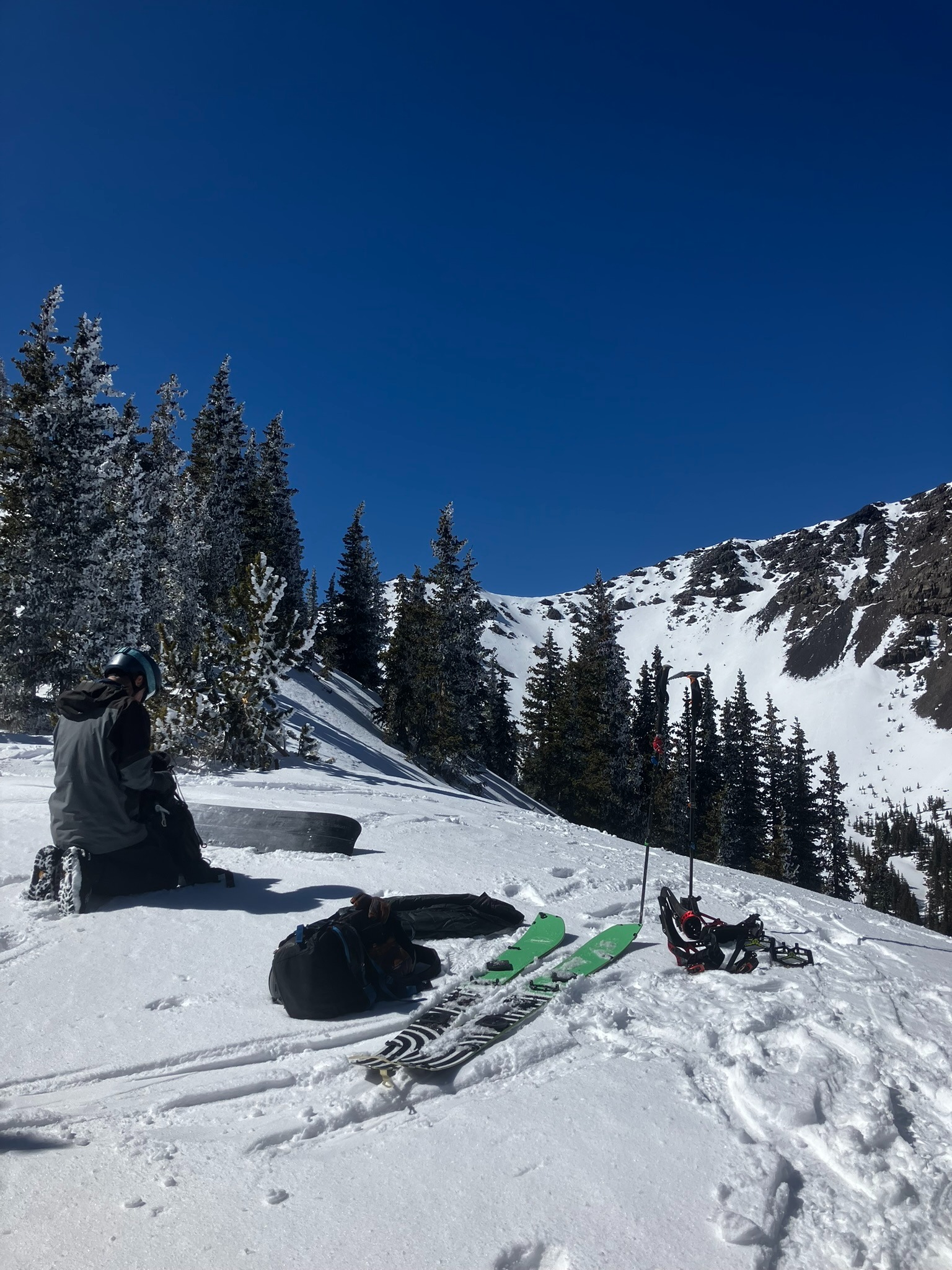
From there, we continued up above 11,000' to reset the camera weather station, and then continued up to Hardcore ridge. The southerly slopes' surfaces were a stout m/f crust that could be hiked or skinned with ski crampons. We rode the Cathedral chute and found some variable powder snow conditions and a few enjoyable turns. Video of Miguel riding from the top. We transitioned, skinned back to the top of Hardcore Ridge. The skinning was a little slippery as the surface snow consisted of near-surface facets. We snowboarded the bowl/gully that is just to the southwest of Core Peak.
From there, we had generally hard snow conditions all the way back to Waterline Road.
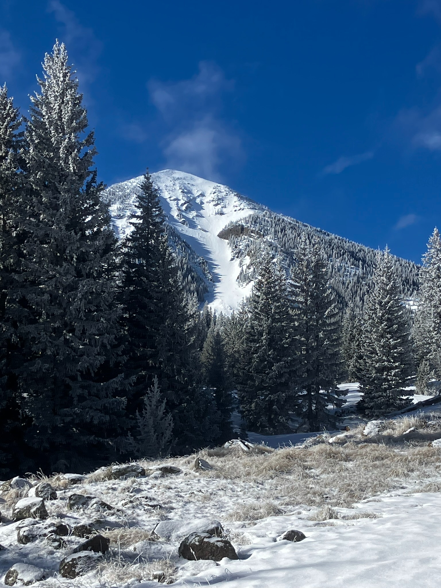
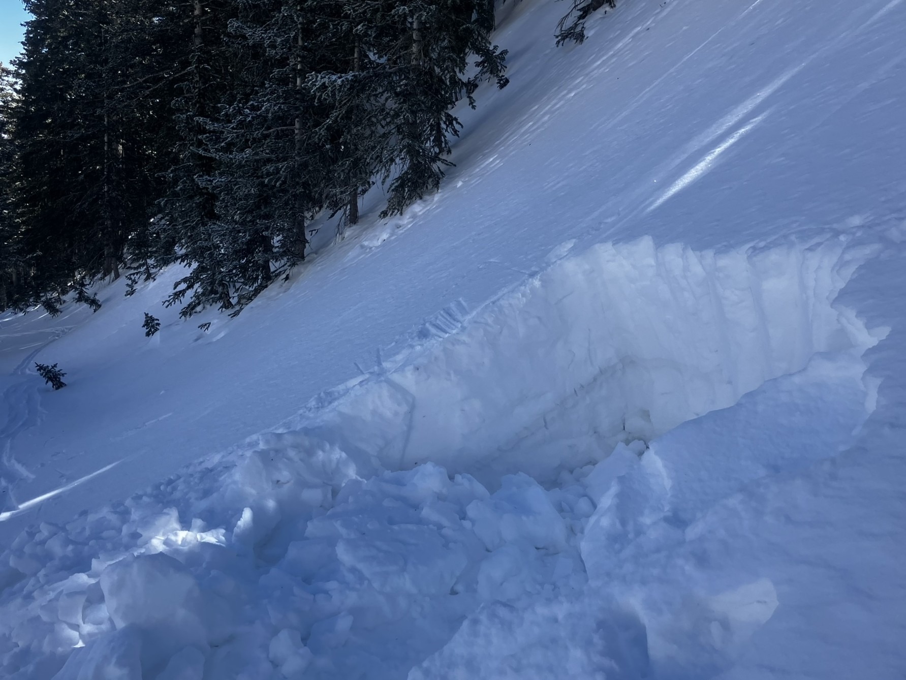
We noticed two old ~D2 avalanches that had not yet been reported. Those are attached to this observation. These avalanches occurred during the Feb. 17-20 storm cycle, likely on or close to Feb. 19.
Weather
- Recent Snowfall
- 1-2
Avalanche
- Size
- D2 R3
- Count
- 2
- Aspect
- N
- Trigger
- N
- Elevation
- 10900 ft
Debris and crown were discovered on March 7. Crown profile done on March 11.