
Quick report
- Cracking
- specific
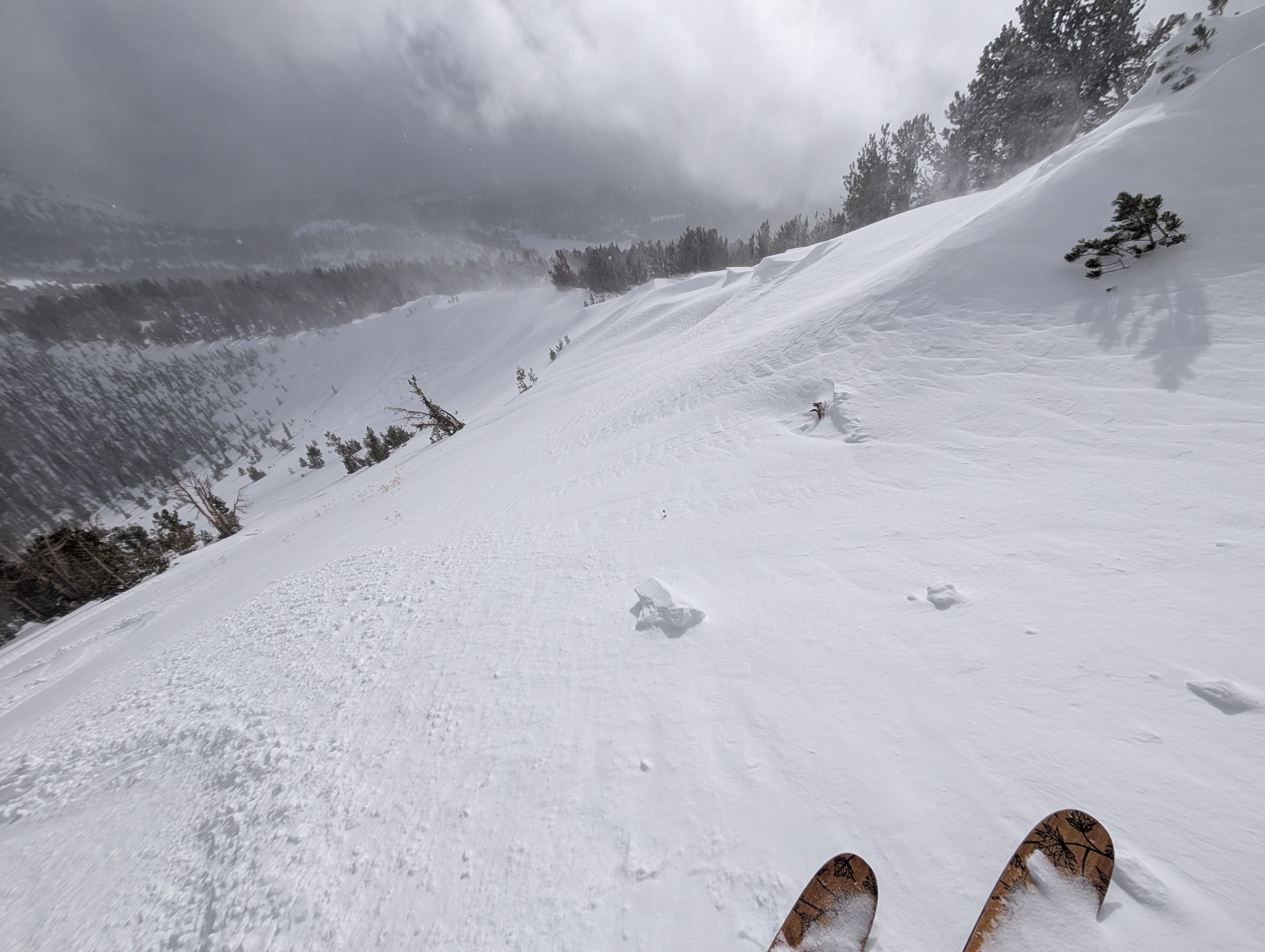
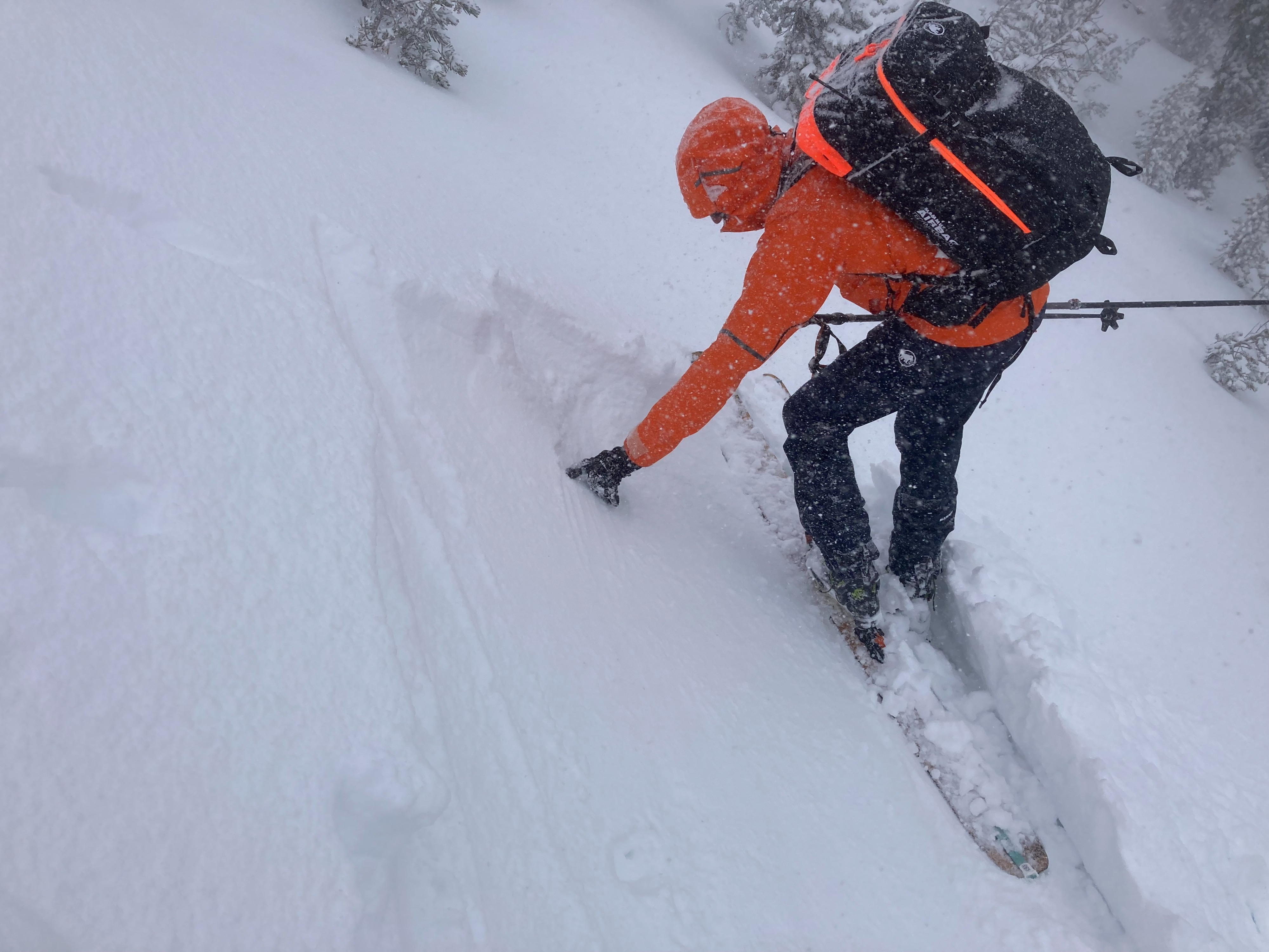
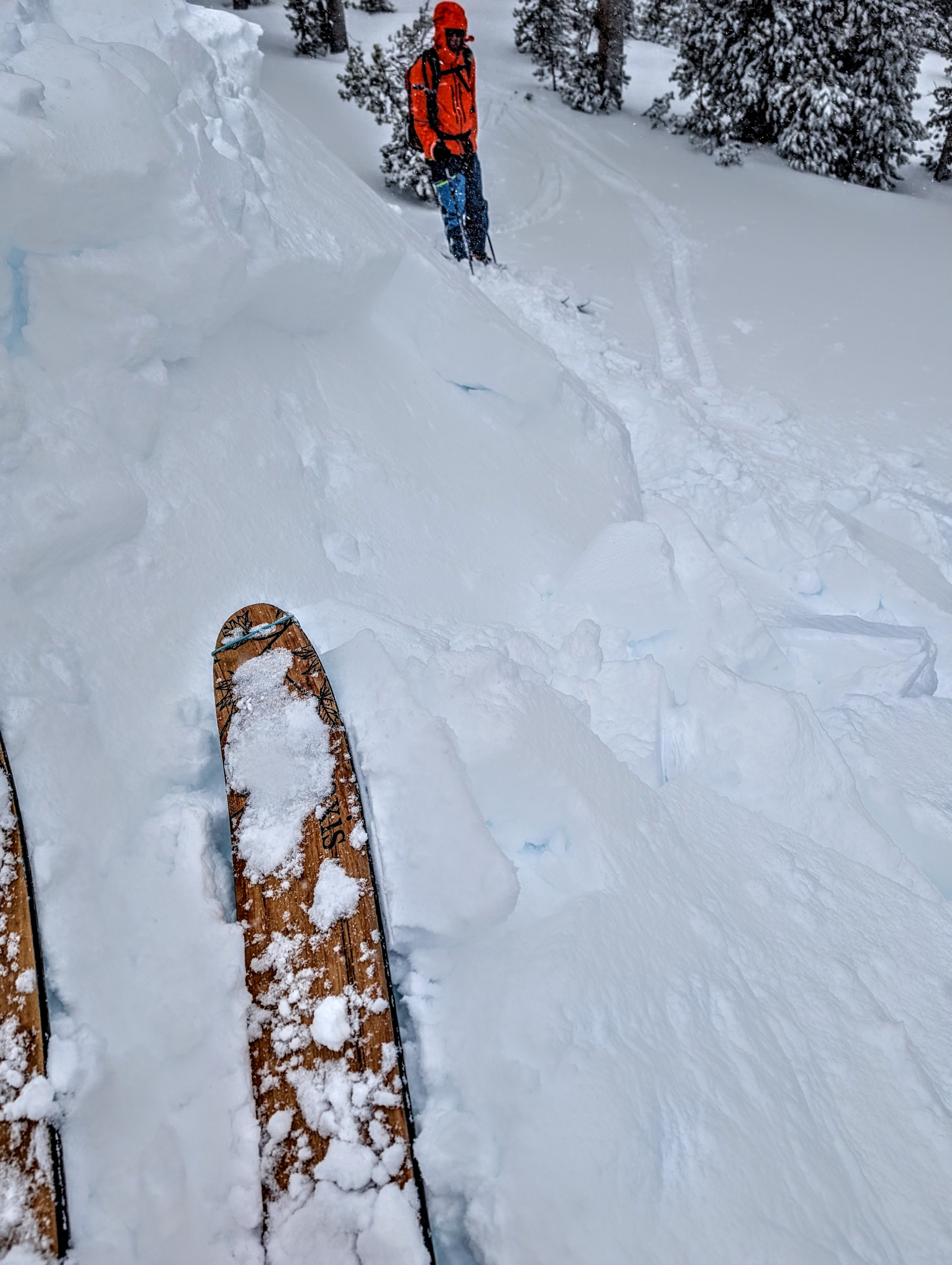
Today, we returned to Tamarack Peak and found about 4 inches of new snow and widespread gale-force winds. The wind gusts made it hard to stand up on the ridge. These winds had an easy time blowing snow onto the downwind side of ridges. Since only a few inches of new snow had fallen, wind slab development had only just begun. Still, we saw cornices starting to form, and wind drifted snow up to 8 inches deep in some places. We stomped on and ski cut wind-loaded test slopes but did not produce many signs of instability. We mostly only triggered some minor cracking except on one previously undercut slope where the wind slab broke away from the hill just above yesterday's frozen rain crust. On more sheltered slopes, ski cuts sometimes caused the new snow to sluff away from itself just above the rain crust.
Weather
- Air Temp
- 26 °F
- Cloud Cover
- overcast
- Wind Loading
- intense
- Rain Elevation
- 6500 - 7000 ft
- Recent Snowfall
- 10 cm
- Snow Avail For Transport
- moderate amounts
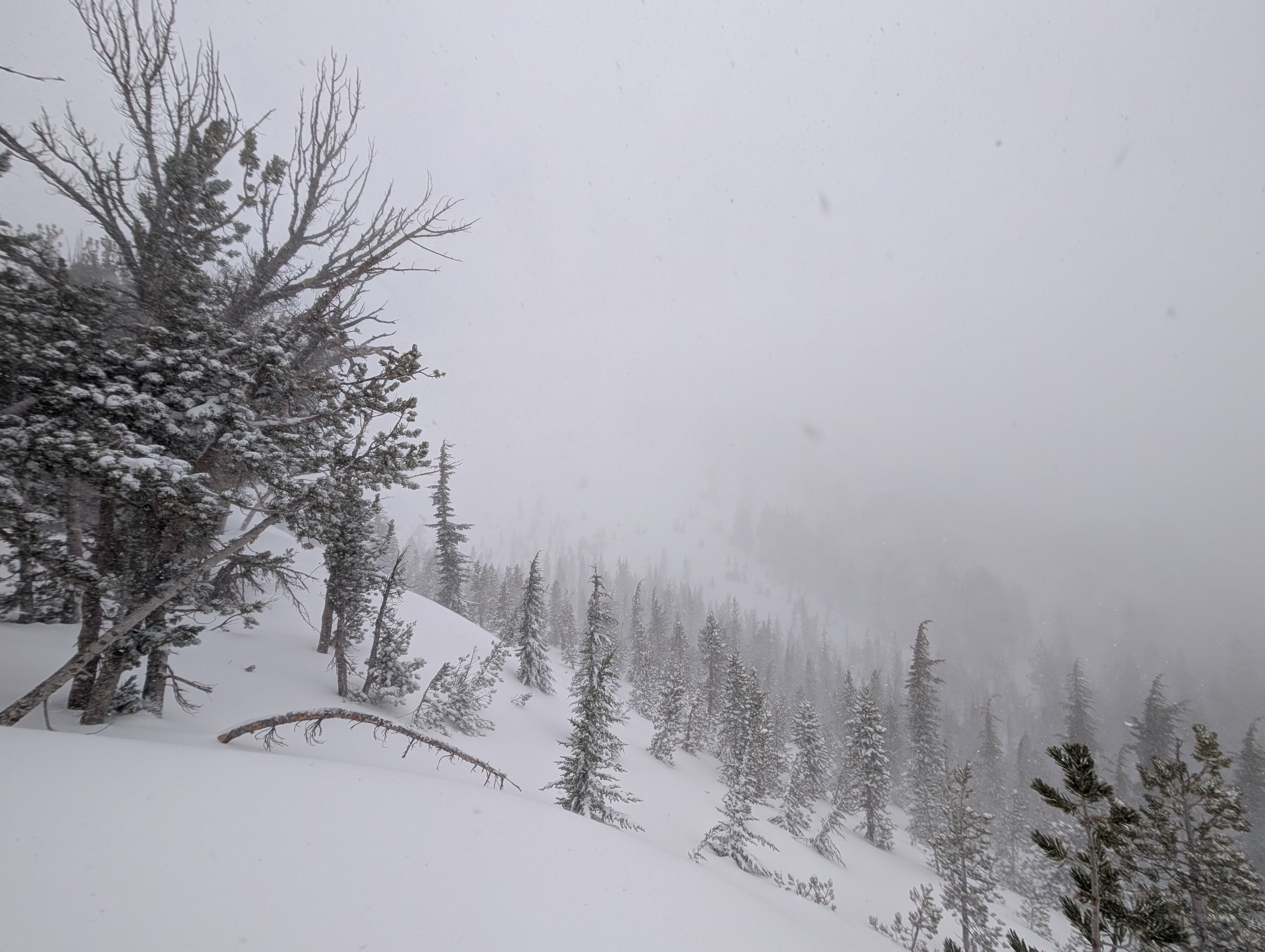
Low clouds and blowing snow made for poor visibility during most of the morning.
Snowpack
The rain crust existed below the new snow everywhere we traveled today. It was fully supportable and frozen. The new snow seemed to bond well to the rain crust, but there was a weakness about .5 to 1 inch above the rain crust in the storm snow. Snowpit tests near the ones conducted yesterday produced another ECTP on the density change lingering below the rain crust and an ECT in the new snow above the rain crust.