
Quick report
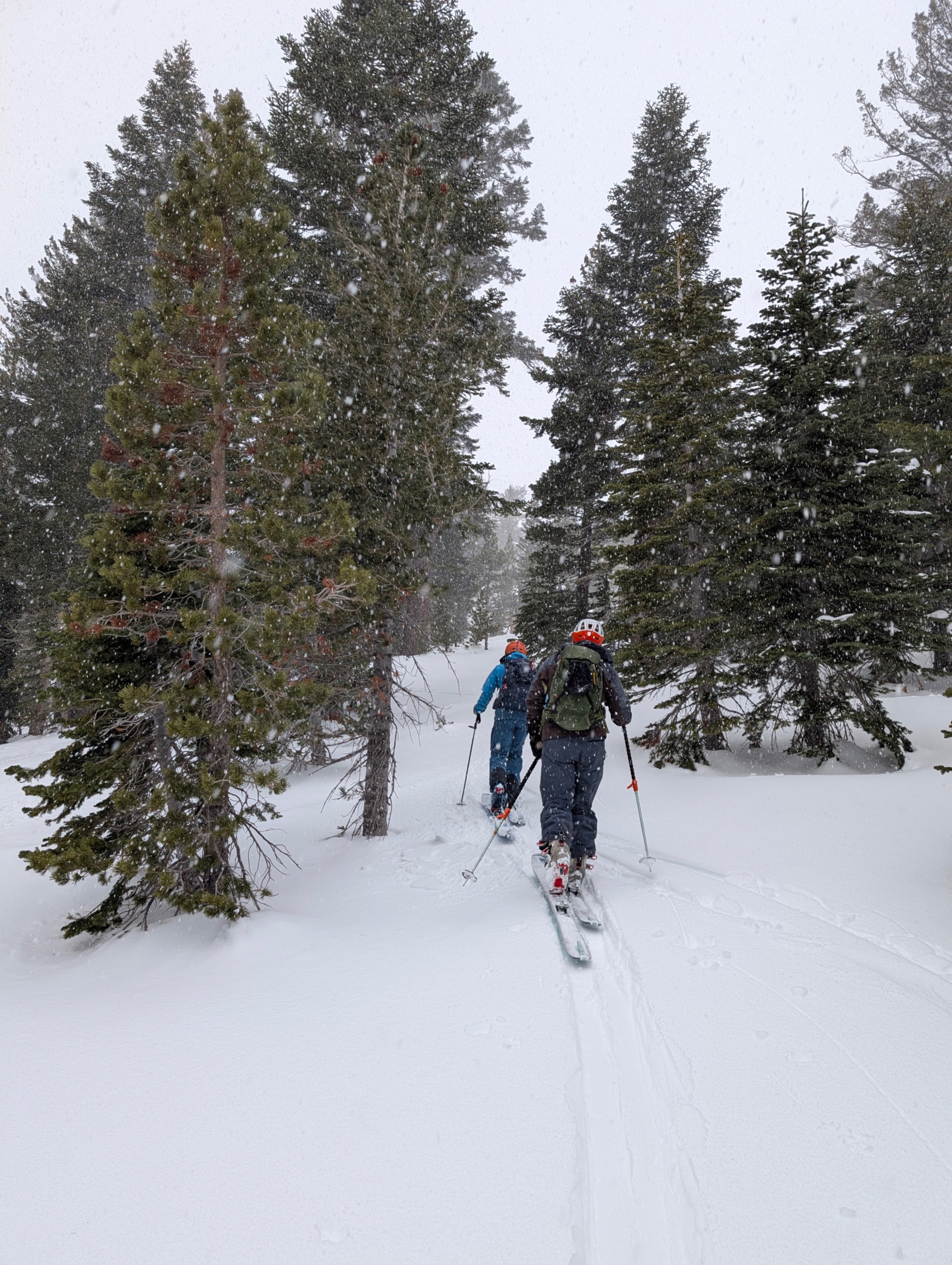
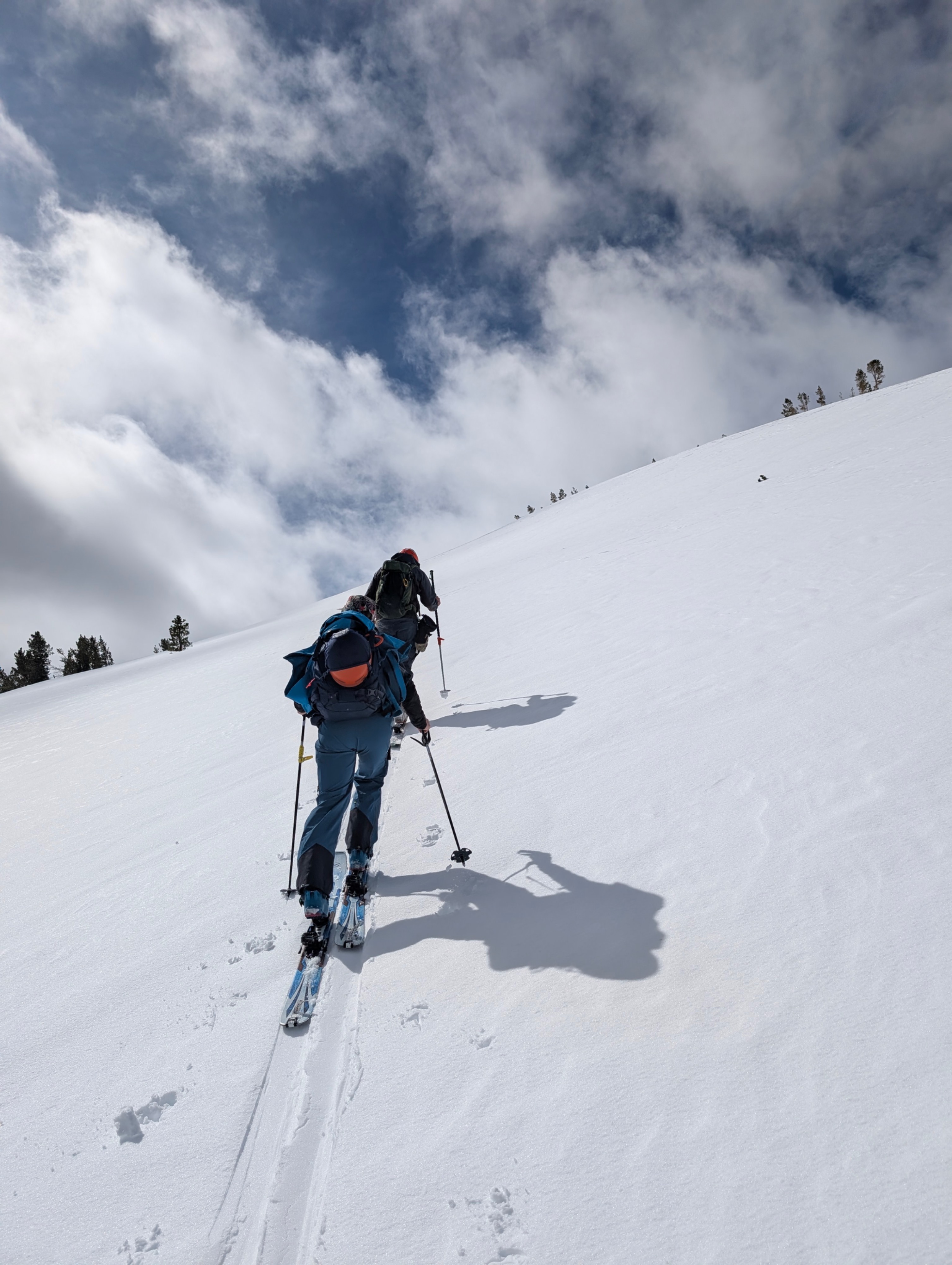
We travelled on refrozen surface crusts on S aspects at all elevations and wind-sculpted crusts on E aspects from 7-9am. There was a thin layer of colder snow on breakable crust down near tree line on E aspects. It was cloudy and lightly snowing during the first part of the morning, which gave way to partly sunny skies by the time we finished the snow pit around 11am. Winds were gusting 20-30mph from the SW and were only felt at the top and windward side of the ridge line. We didn’t observe blowing snow, it appeared to be mostly locked down in surface crusts. Snow surfaces warmed on all aspects through the morning, creating some enjoyable descent conditions on S aspects around noon. We did not observe signs of instability such as cracking, collapsing, or deep wet surface snow during the tour.
Weather
- Air Temp
- 33
- Cloud Cover
- overcast
- Wind Loading
- previous
- Rain Elevation
- 8000
- Recent Snowfall
- Trace
- Snow Avail For Transport
- small smounts
Light rain at the parking turned to wet snow as we ascended above 8000ft. 20-30mph gusts from the SW felt only near the ridge line around 9000ft. A trace of new snow accumulated before 10am when the sky cleared. Temperature was at freezing at 9:30am and warmed as the precipitation ended.
Snowpack
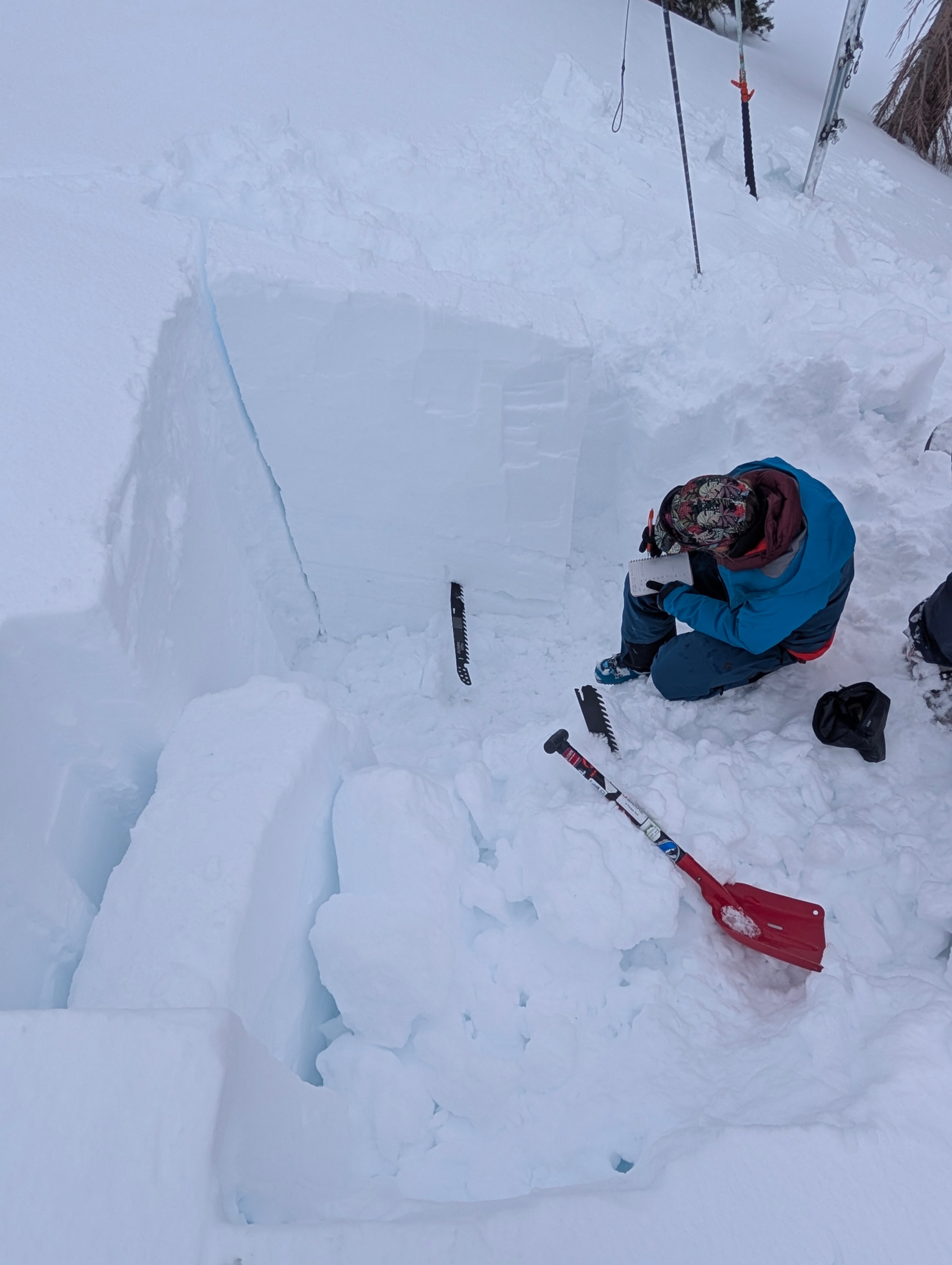
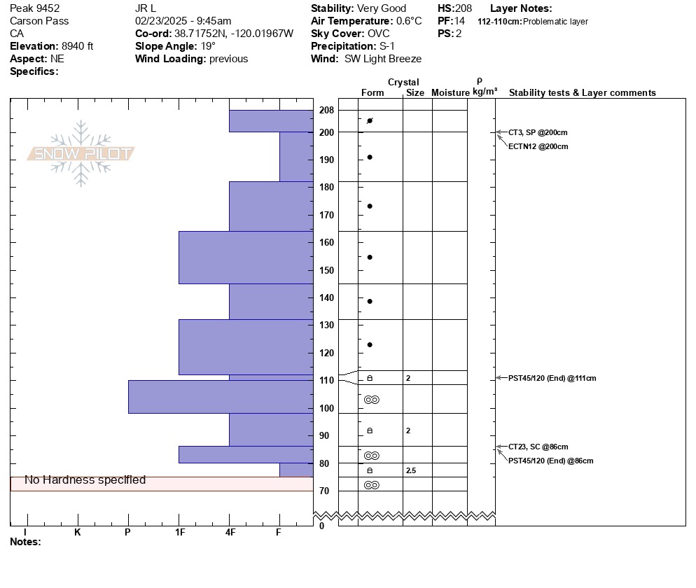
We dug a pit at the coordinates indicated and observed 1m of F to 1F storm snow layered in various density combinations. This snow sat on a series of crust-facet combinations responsible for the recent persistent slab problem. Compression tests showed non-propagating results in the top 10cm layer of storm snow, which appeared to be a wind-deposited layer, evidenced by wind-affected surface textures throughout the area. A sudden collapse in a layer of facets 120cm down near the base of our column prompted us to set up a PST on that layer and the facets above. Both of those tests resulted in propagation PST 45/120 End as indicated in the attached profile.