
Quick report
- Cracking
- Observed
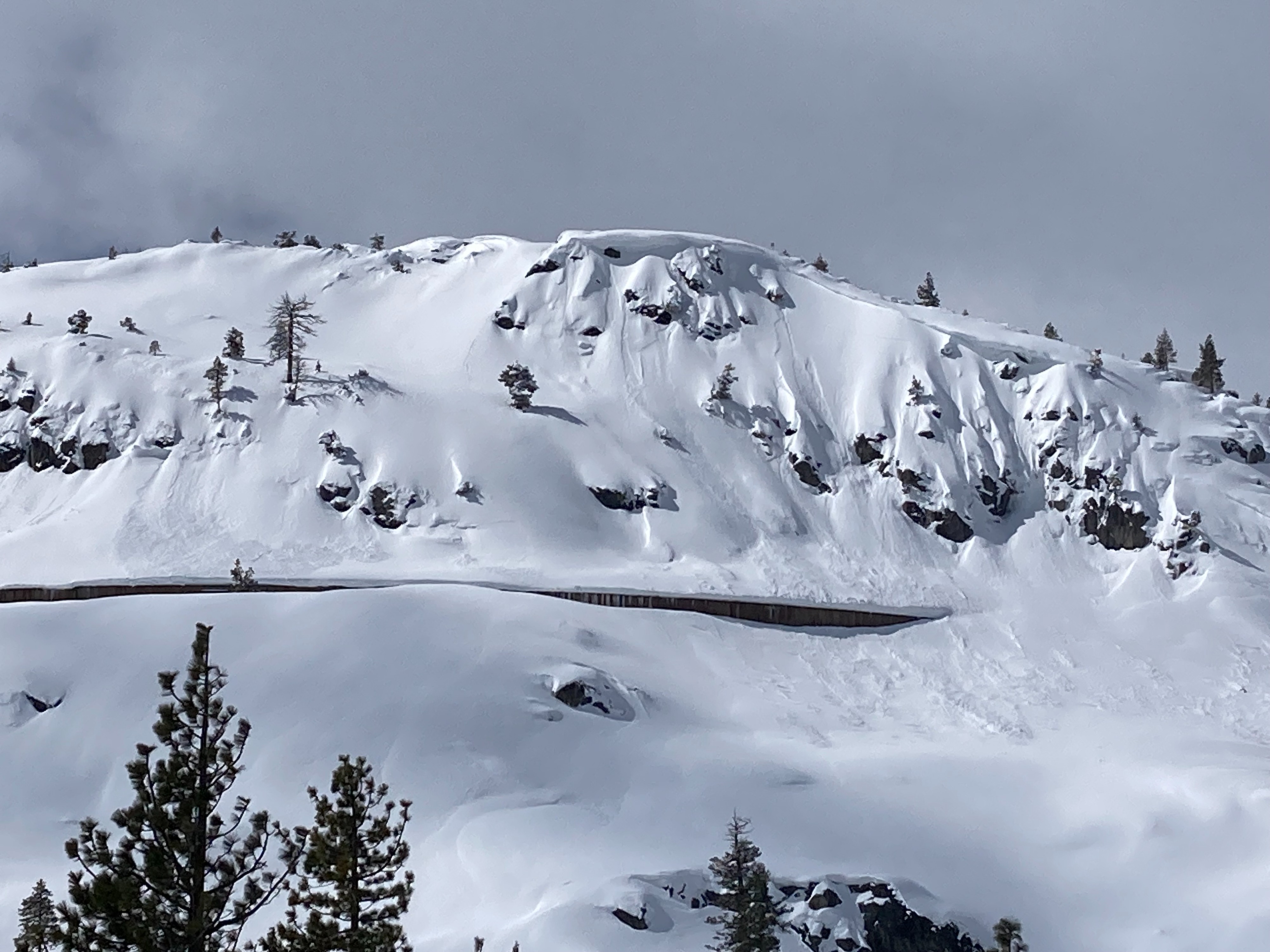
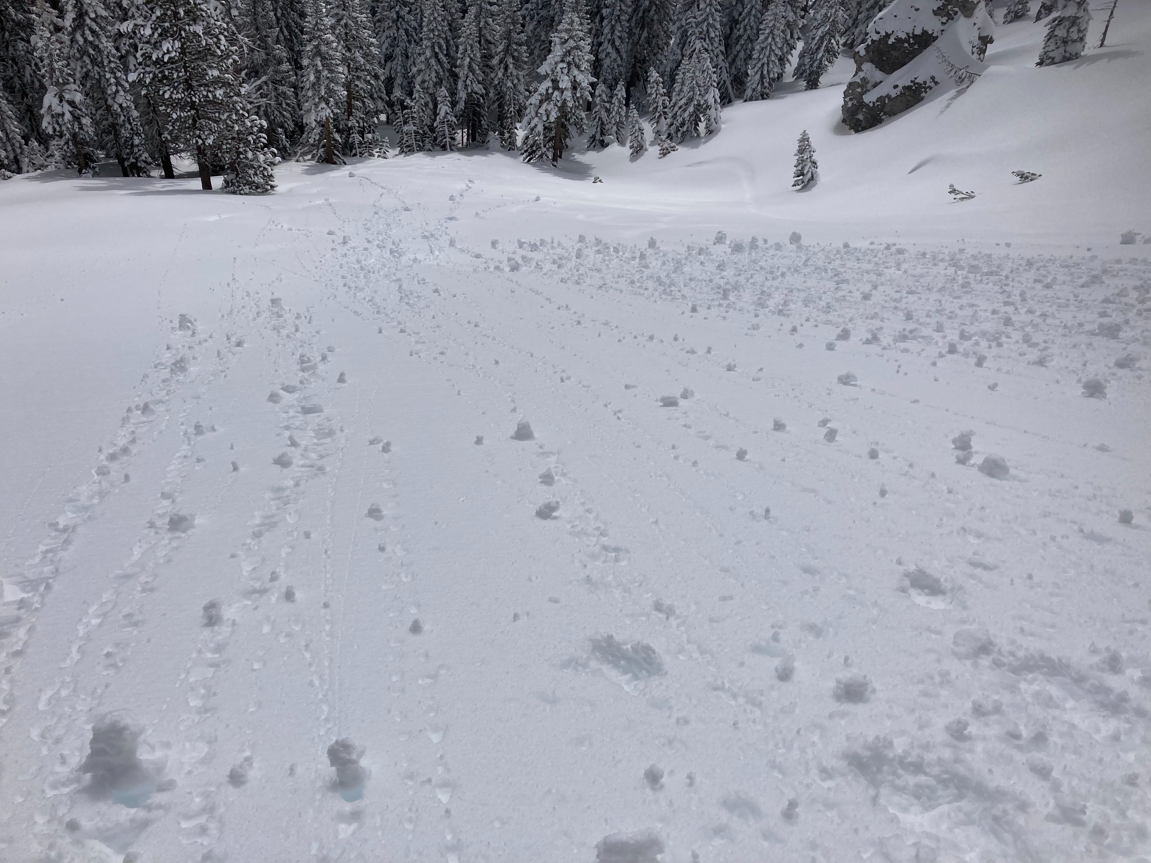
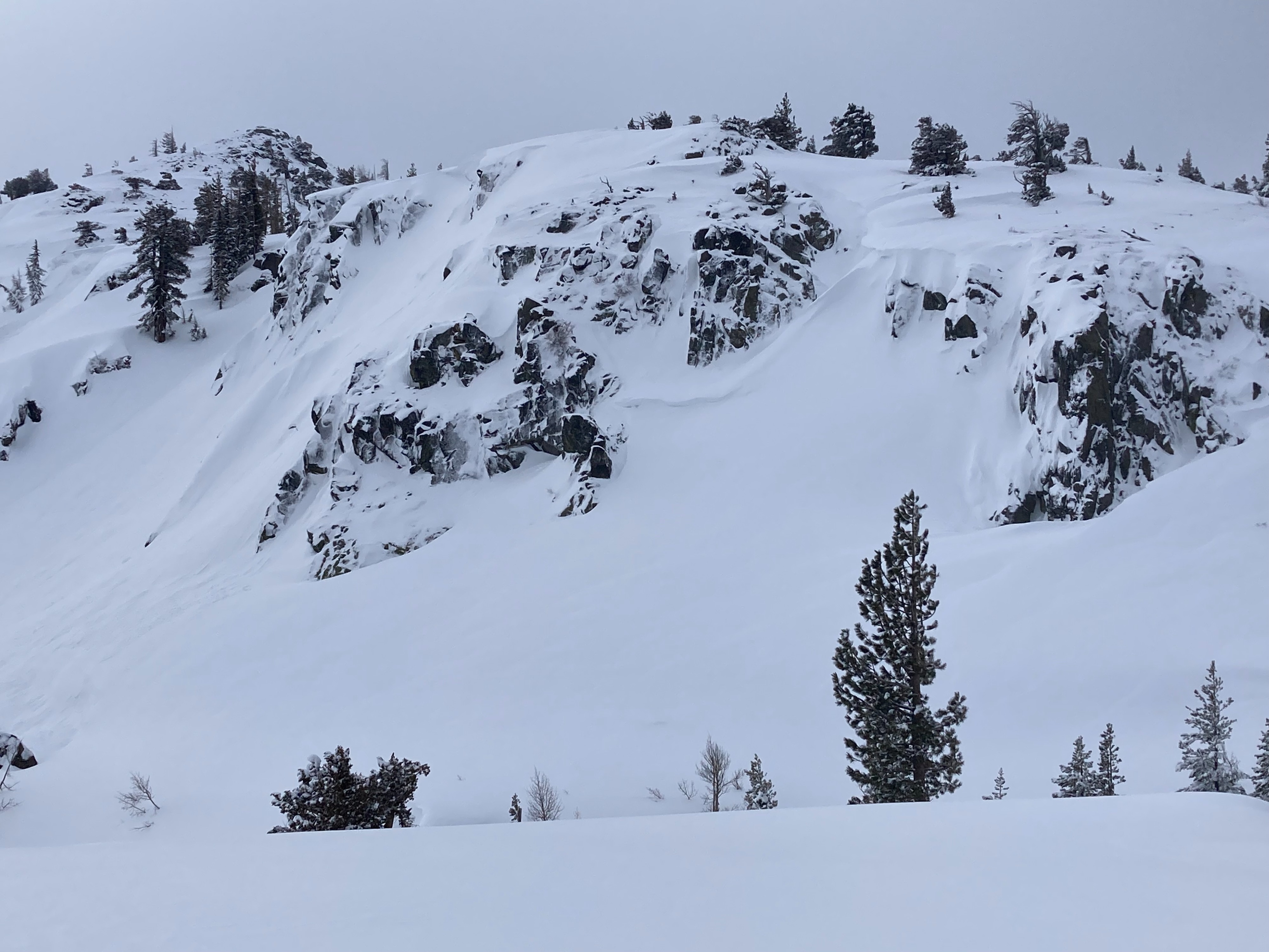
Up to another 6'' of new storm snow was found in this area from the last 24 hours. Mostly low level and dense cloud cover existed in this area through most of the morning with some intense periods of sun exposure. Small roller balls started occurring during these sun periods on east aspects below 7600' at 10am. There were many signs of previous and more recent avalanche activity including shallow wind slabs, dry loose sluffing, and wet loose avalanches. Most of these avalanches observed were up to D1.5 in size. No additional snow showers occurred in this area up to midday. The combination of cloud cover and light to moderate winds to midday prevented most wet snow instabilities from forming.
Weather
- Cloud Cover
- overcast
- Wind Loading
- previous
- Recent Snowfall
- 15
- Snow Avail For Transport
- large amounts
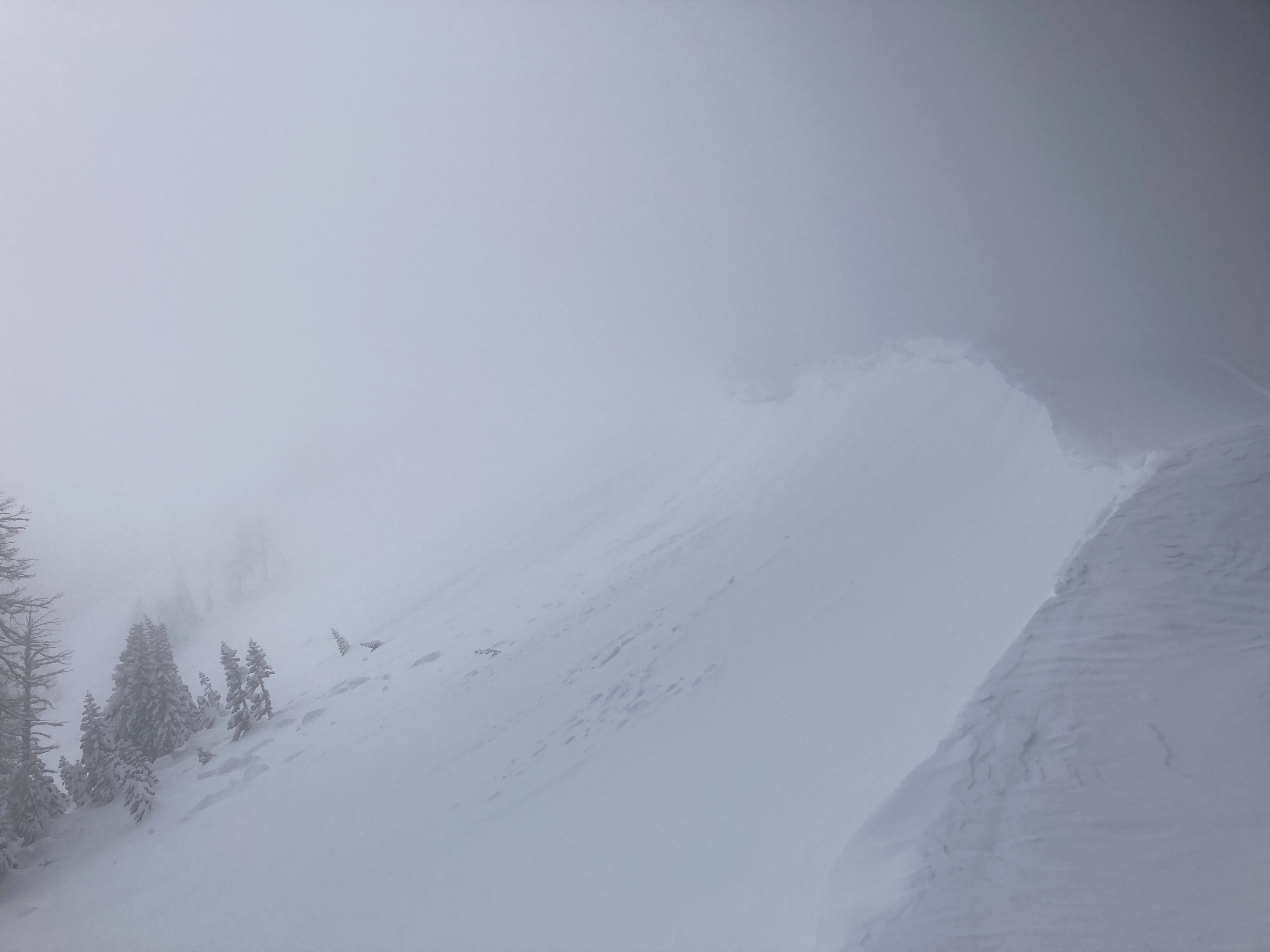
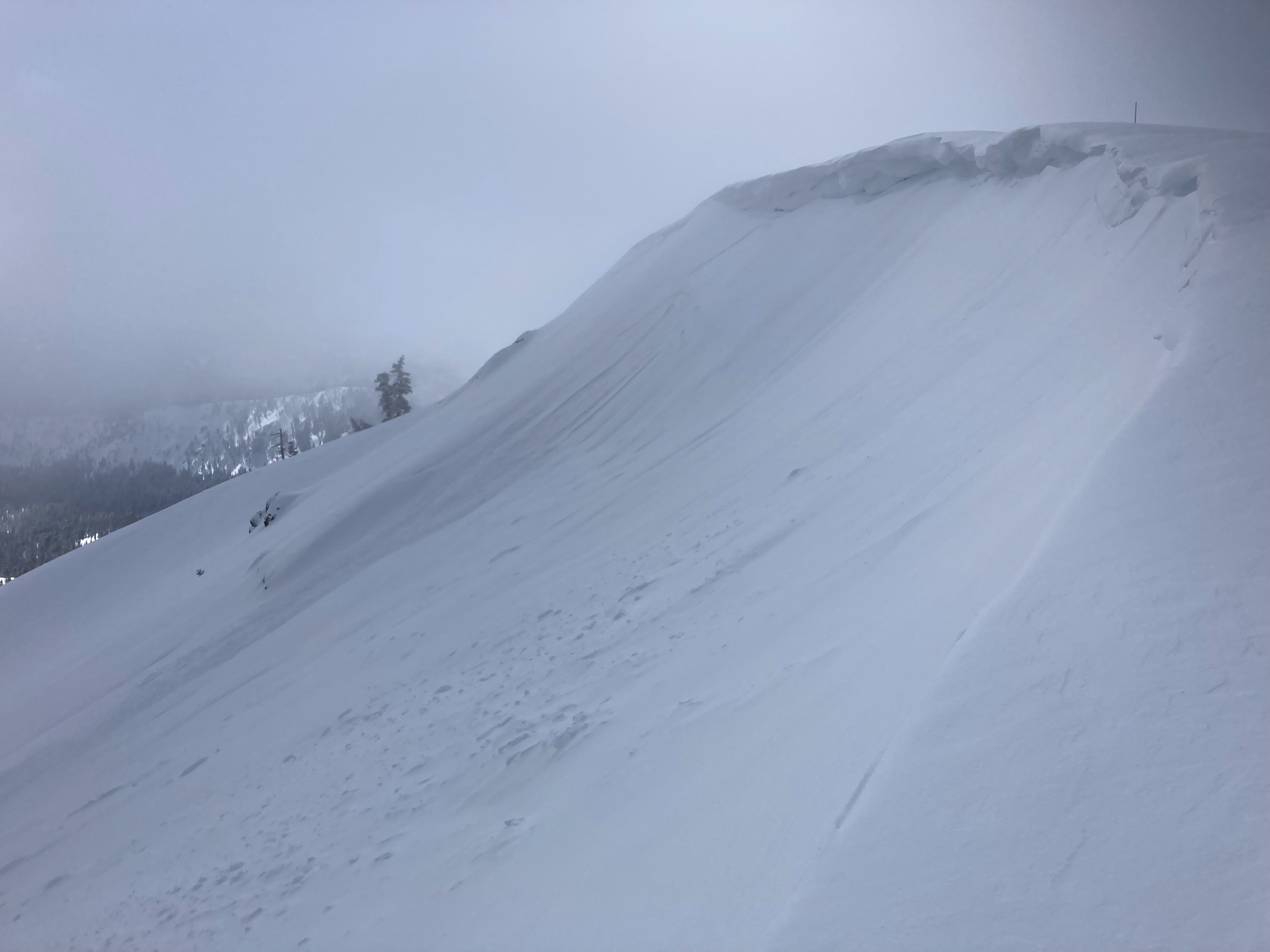
Mostly dense low cloud cover throughout the morning in the Donner Pass area. Some brief, but intense periods of sun exposure occurred during this time. S-SW winds were mostly light with some moderate gusts along the Judah ridgeline. Wind scouring along ridgeline evidence of previous wind transport.