
Weather
- Cloud Cover
- scattered
- Wind Loading
- none
- Recent Snowfall
- 0
- Snow Avail For Transport
- none
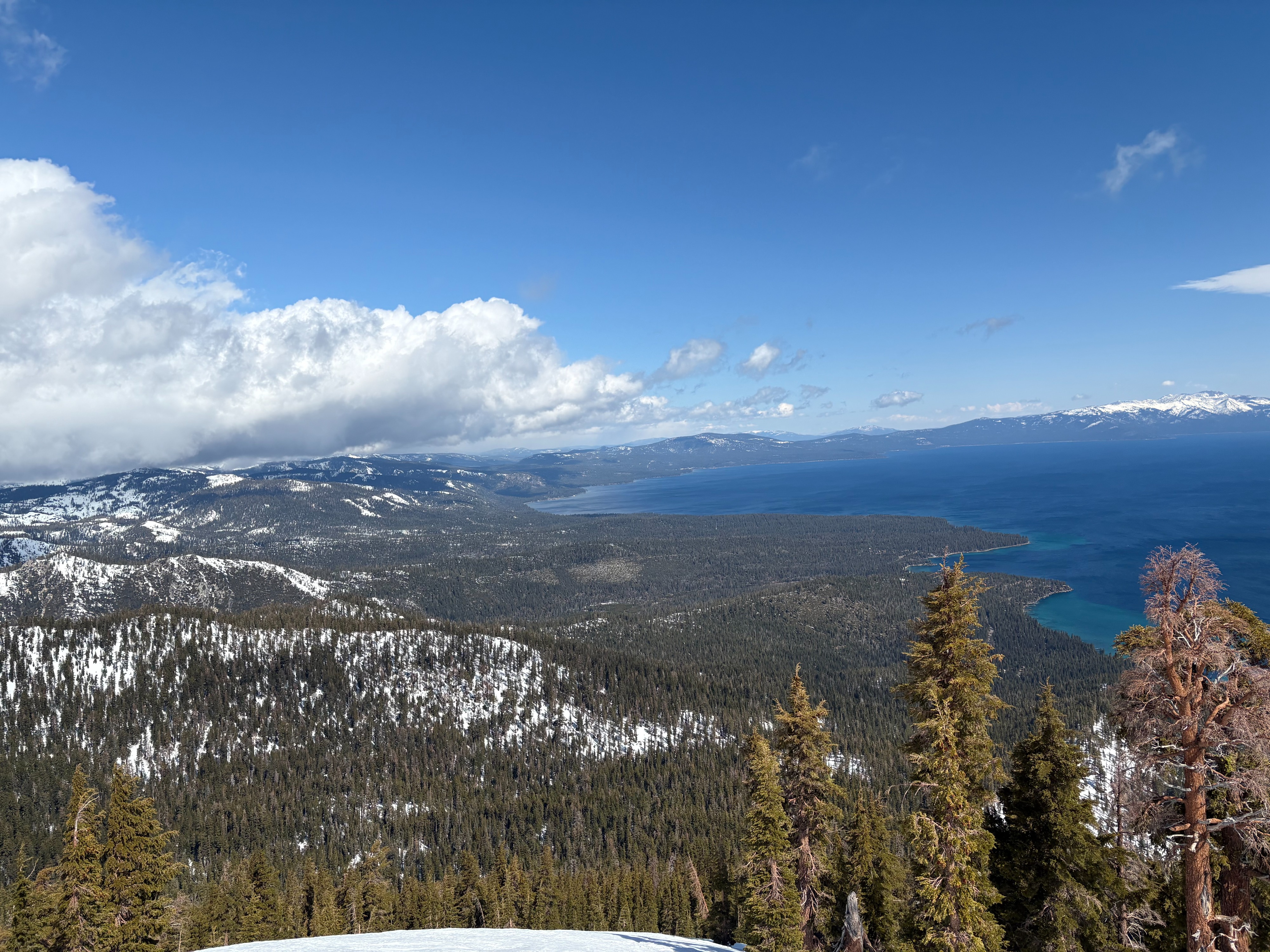
Increasing clouds throughout the morning with strong to gale force SW winds. We had light rain on our drive home midday.
Snowpack
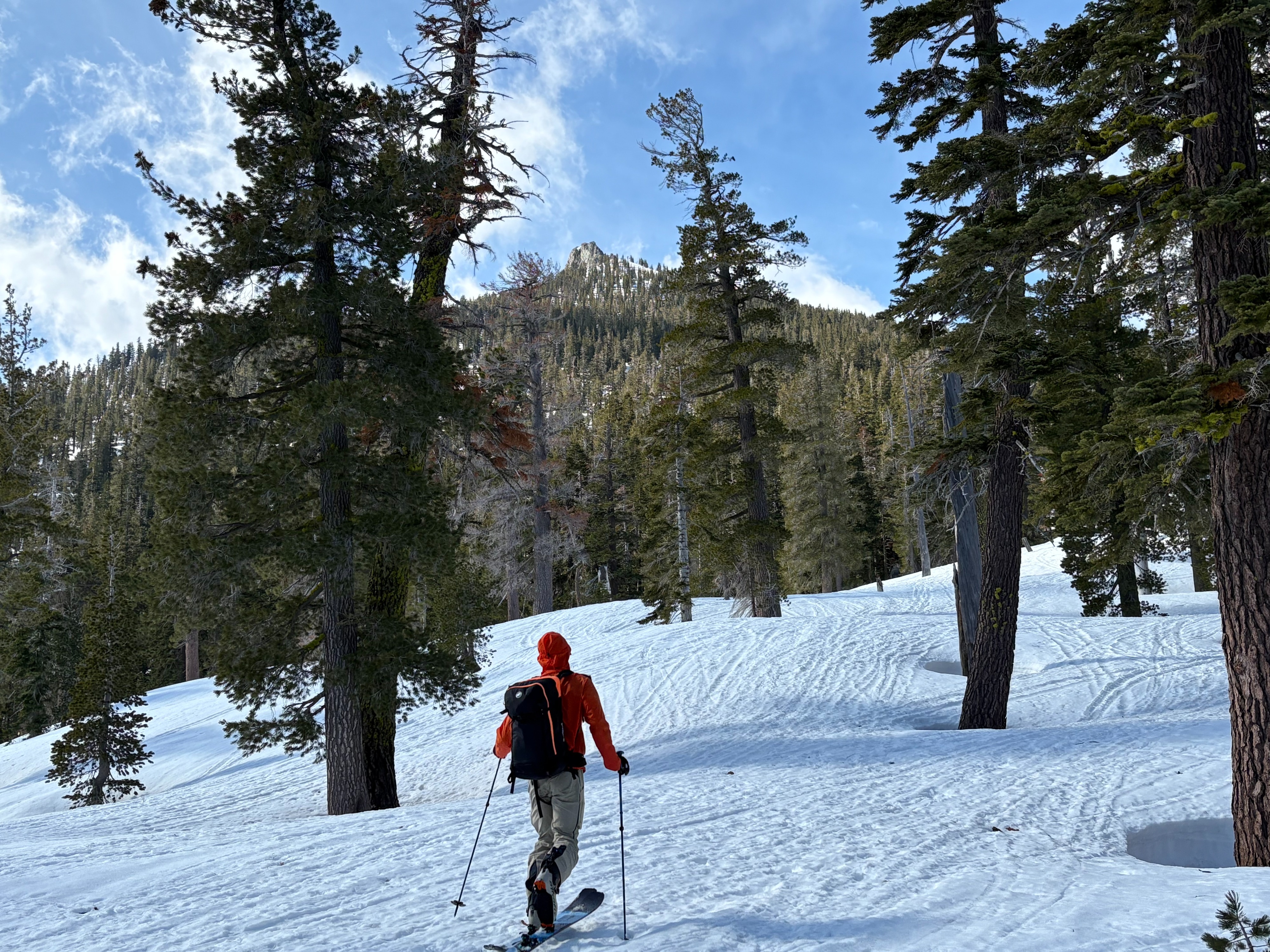
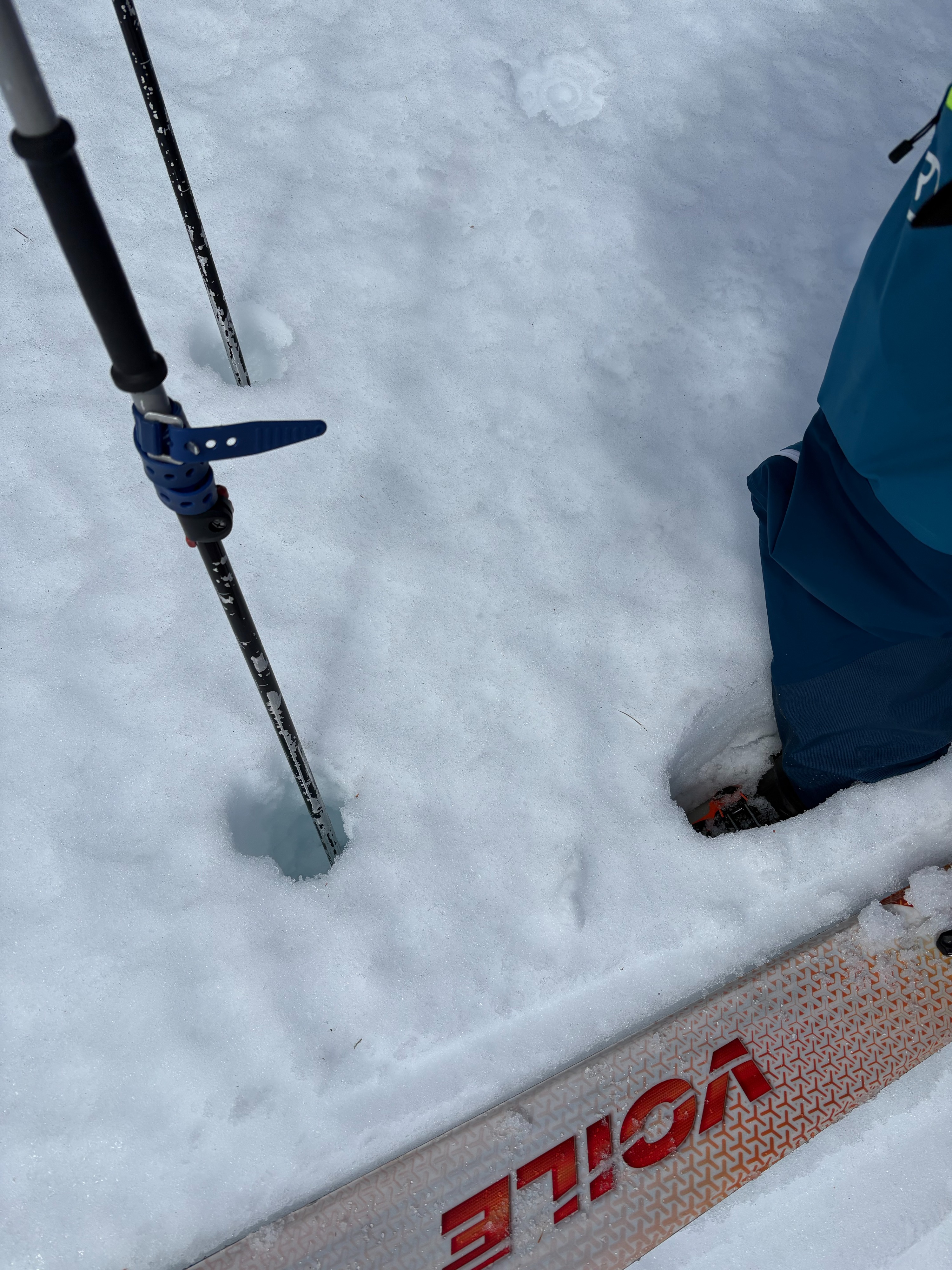
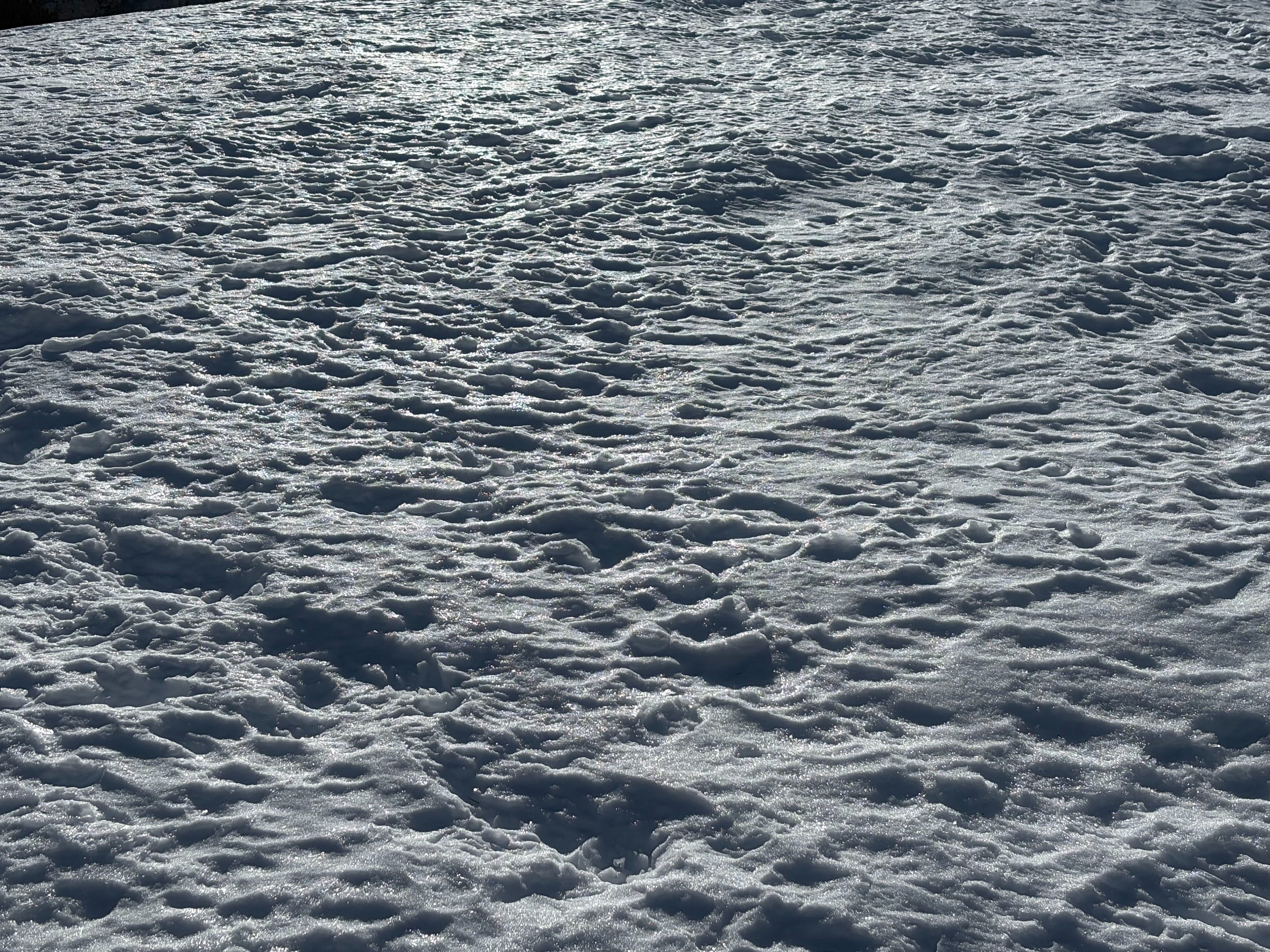
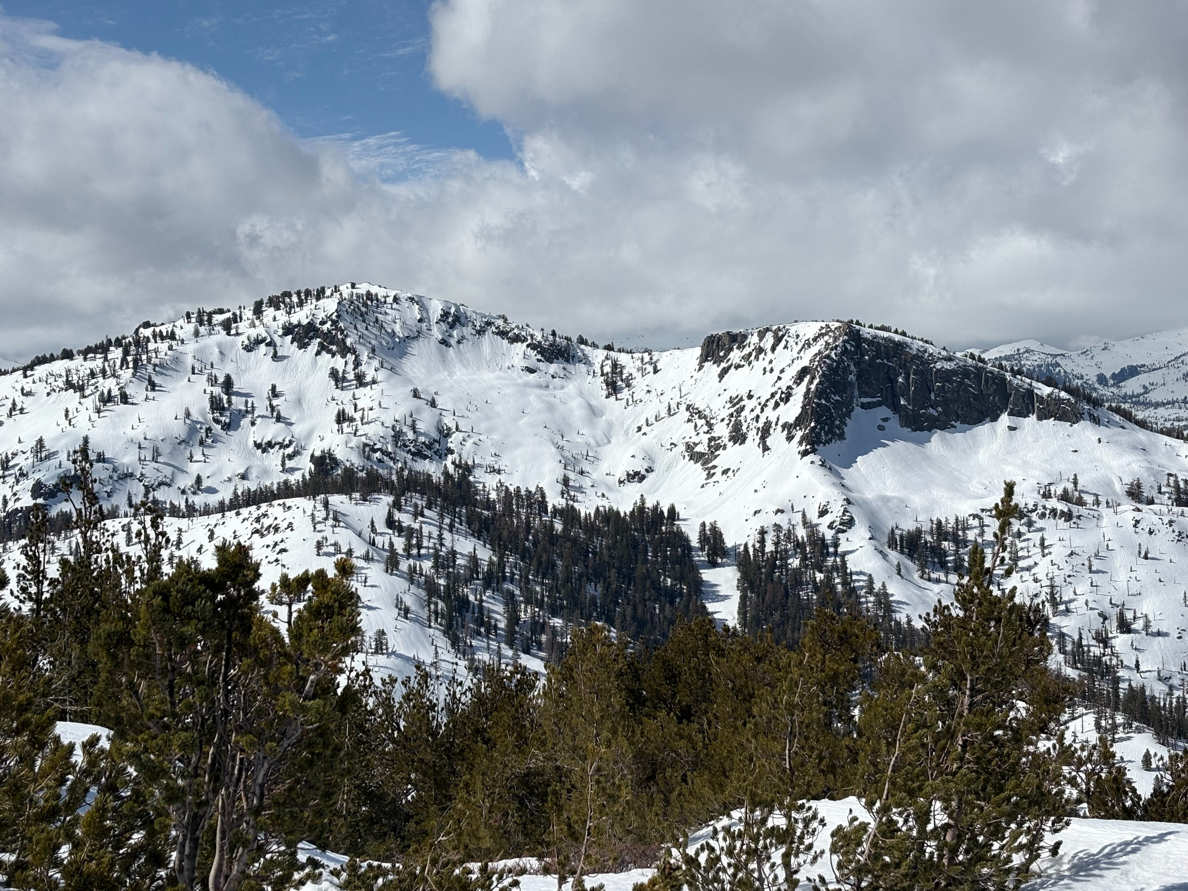
We went to Rubicon Peak today. Strong winds overnight mixed out temperature inversions that had been present for the last few days. Temps at lake level were in the low 40's with near freezing temperatures around 8500'. We experienced variable snow surface conditions on northerly aspects with firm to breakable crusts along with wet snow. There may have been some light rain in this area near the top of the peak that had refrozen on the snow surface making for a clear and firm crust surface. Clouds were mostly along the Sierra Crest this morning increasing eastward late morning and into the midday. Sunshine this morning quickly melted away any surface crusts that were present and made for soft wet snow conditions on east aspects around 11am. Below 8600', the snow surface became more unsupportable with deeper wet snow and slower sticky snow conditions. Cloud cover further increased midday with light rain falling on our drive home.