
Weather
- Cloud Cover
- obscured
- Wind Loading
- moderate
- Rain Elevation
- 3000
- Recent Snowfall
- 23
- Snow Avail For Transport
- moderate amounts
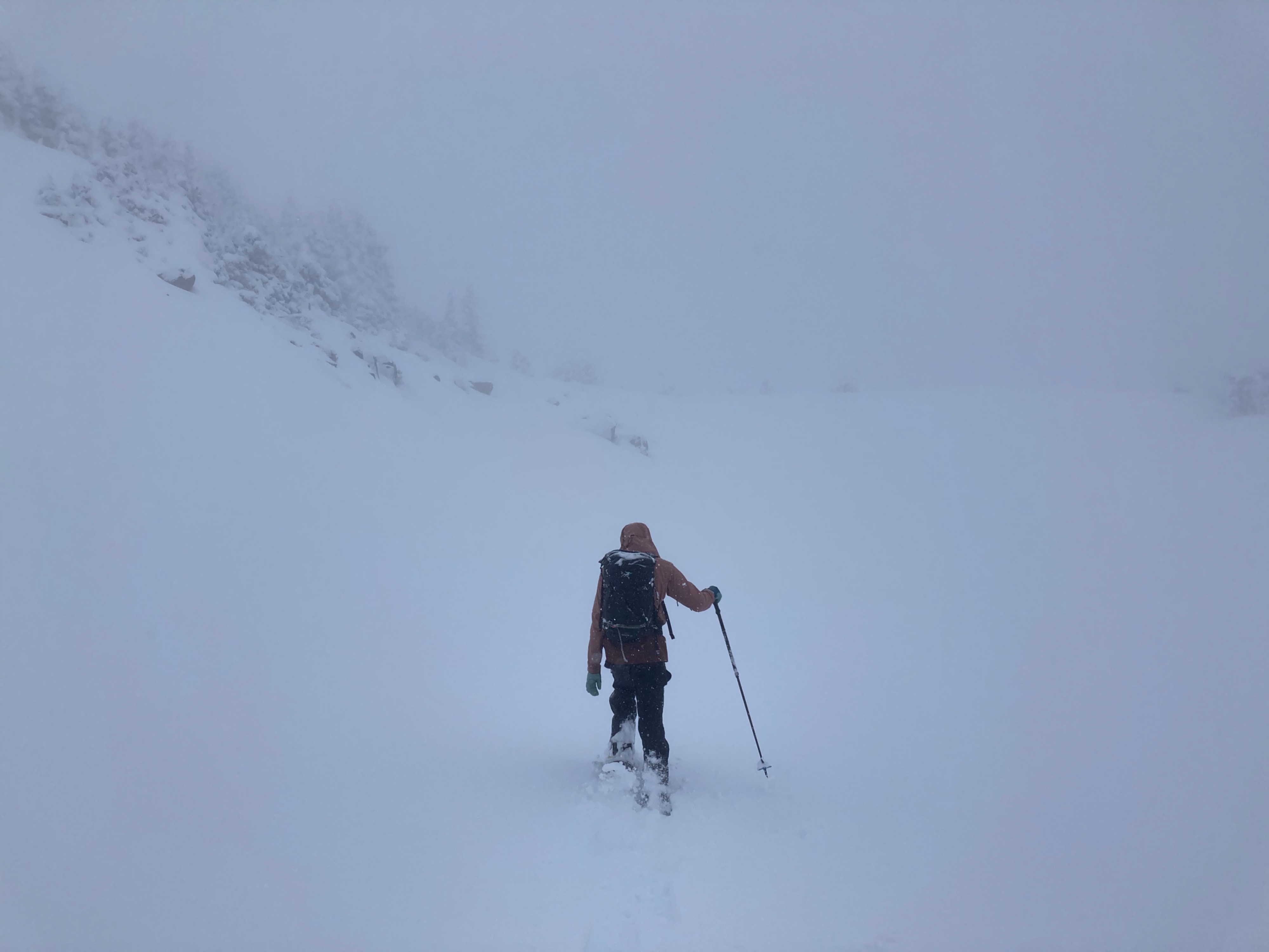
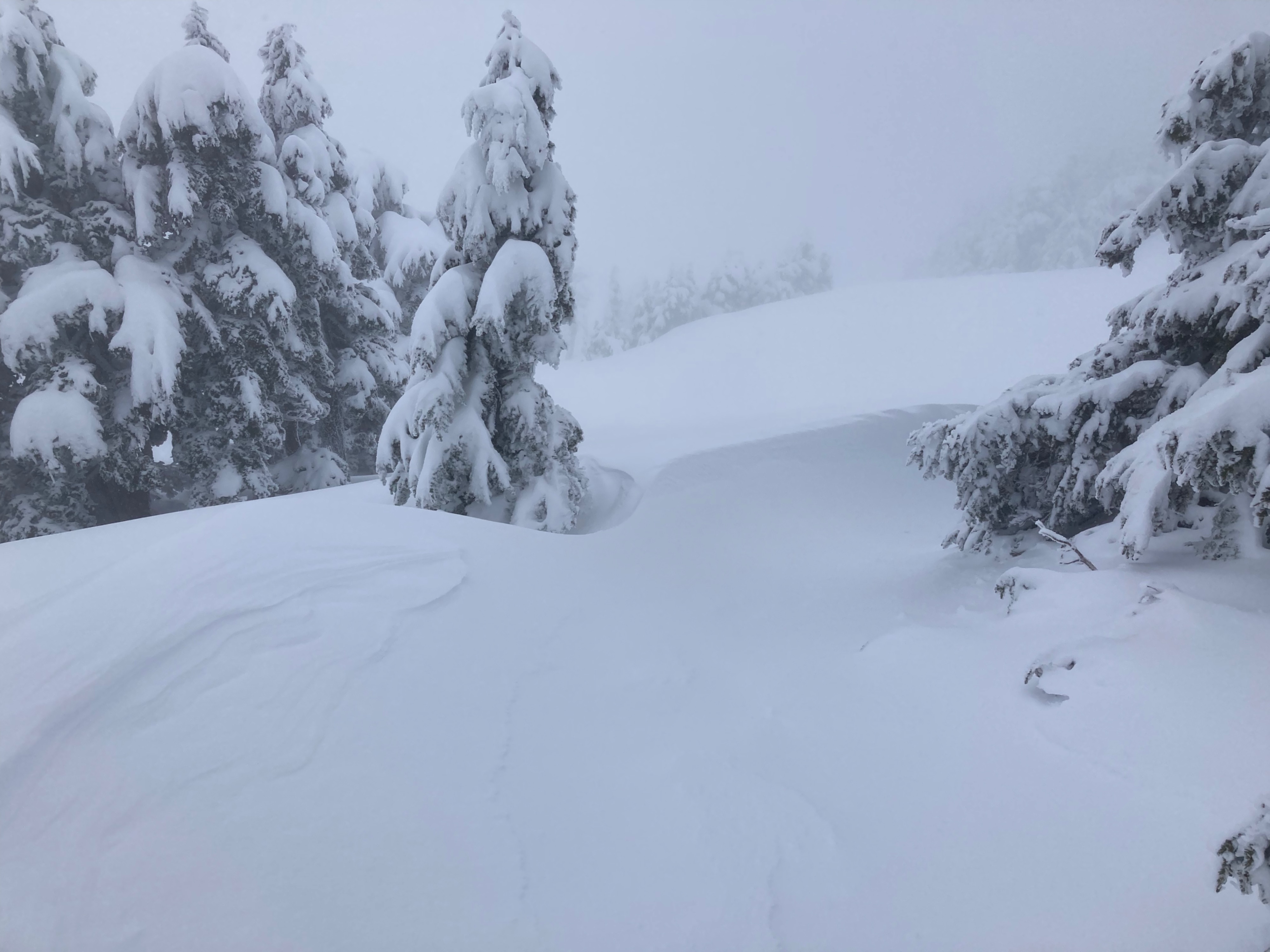
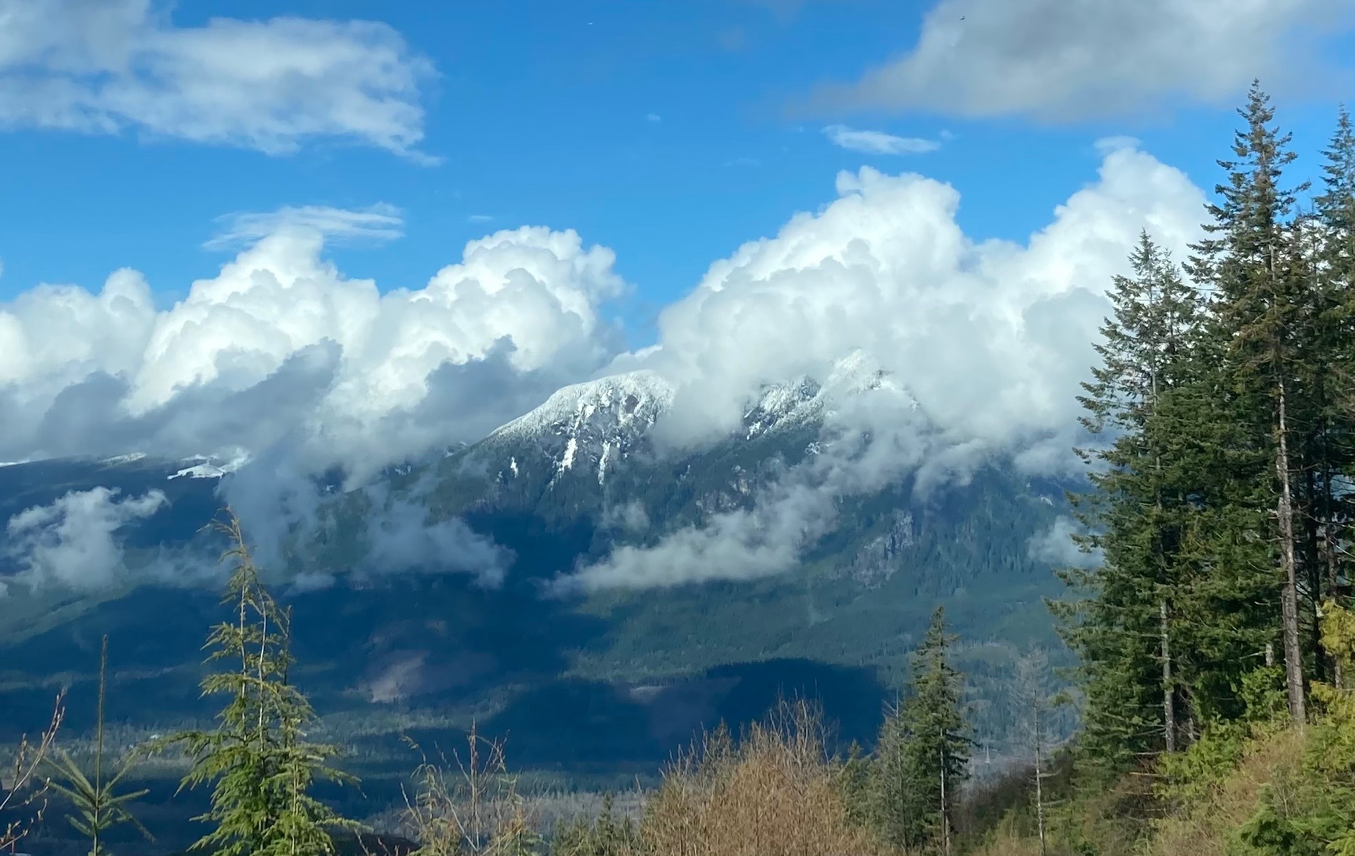
Obscured skies for entire way up, on way down some blue patches appeared- typical spring unsettled weather. Light-mod snowfall until 1pm, about 4cm while we were out. Wind from 5000-5500ft.
Snowpack
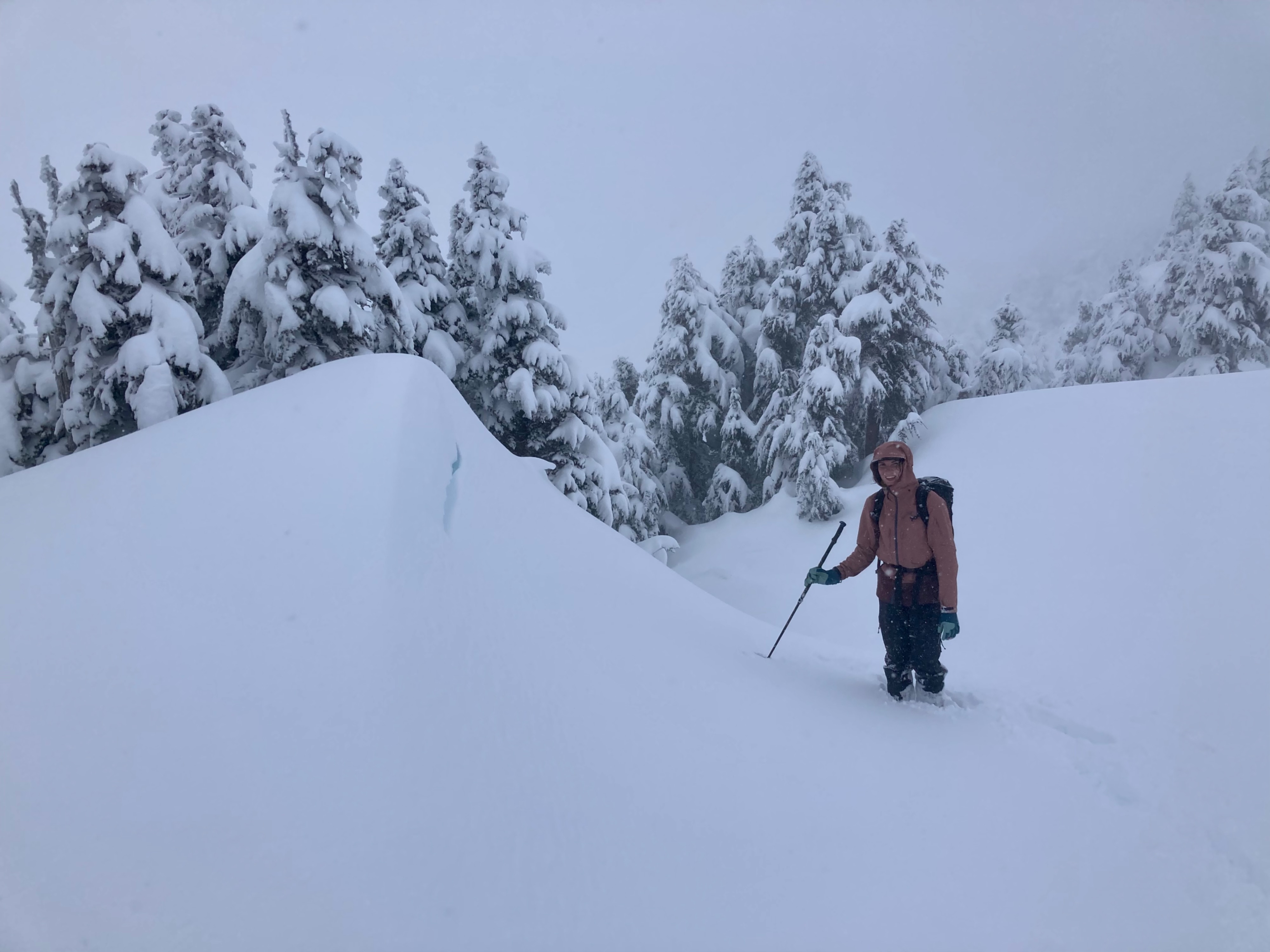
Actively snowing and blowing up high. Entire depth of new snow over upper crust was 20-25cm, dry- but heavy. It was predominantly well bonded to to the underlying crust. Small drifts had formed, and shallow wind slabs (like 5cm) were present at the surface. Very minor cracking with footsteps around obvious drifts. Completely in a snow globe at these elevations. At 5300ft HS was ~250cm. The entire snowpack felt sticky and moist while probing down through the top 150cm. At that depth, we found the tough-to-break Early February Crust, about 1m above ground.
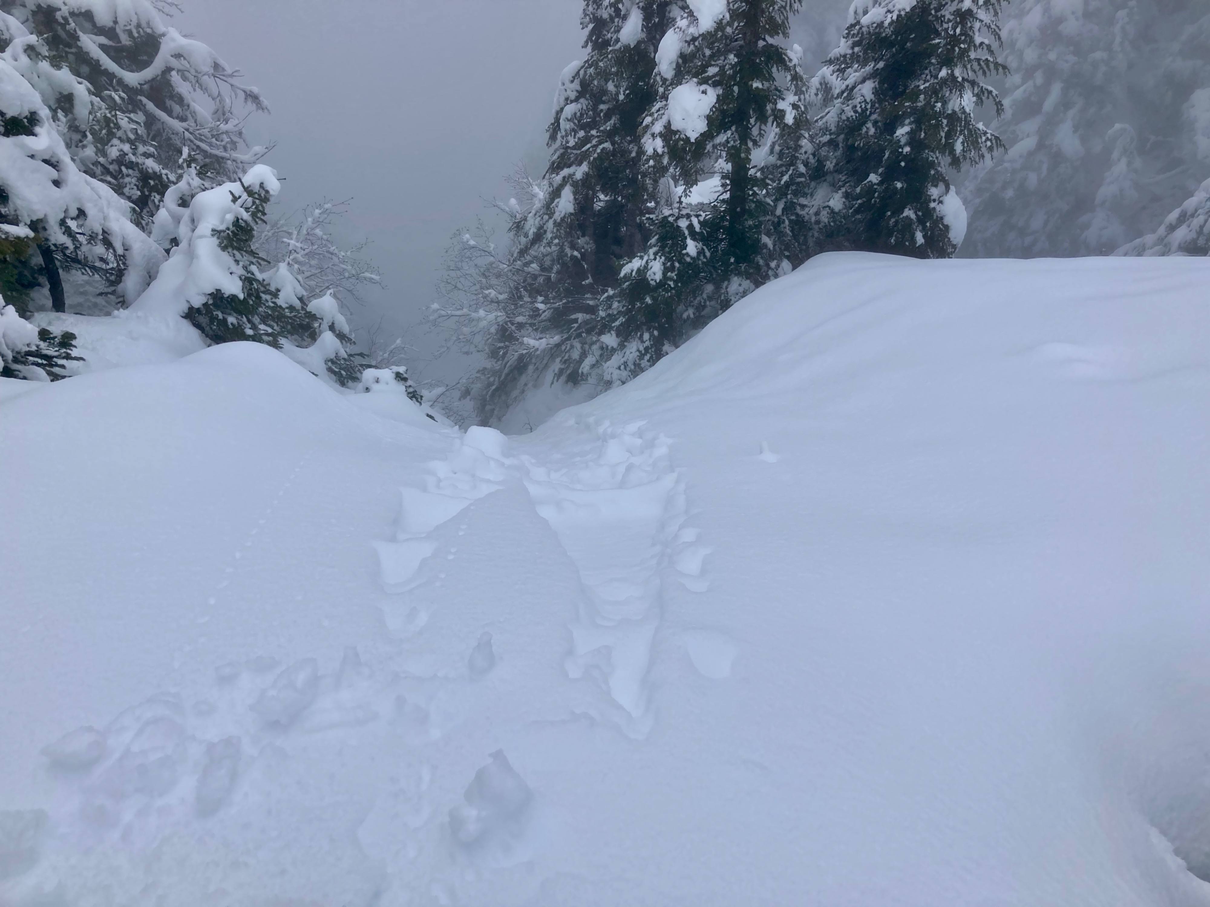
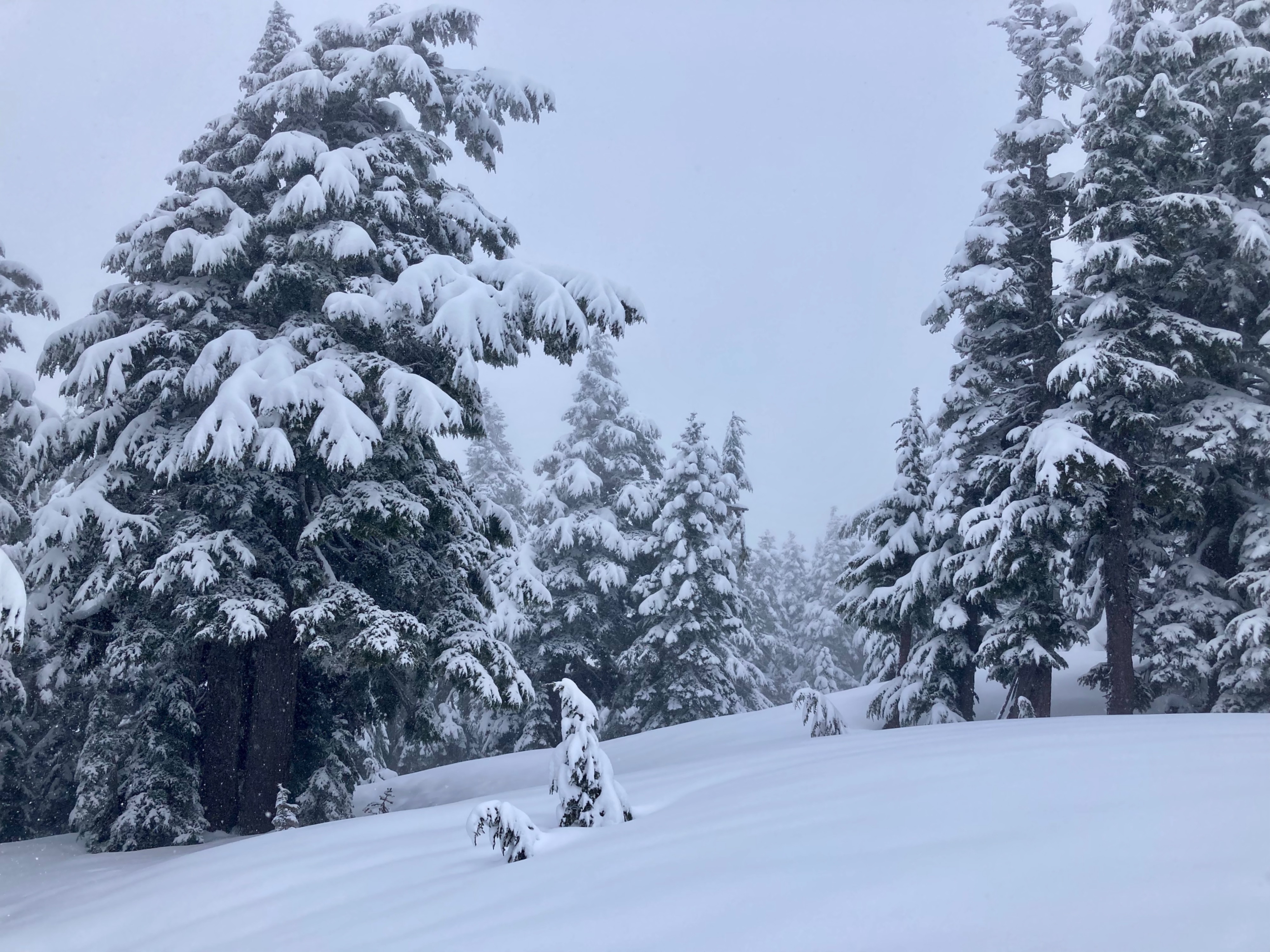
Beneath 5000ft snow was moist and we triggered a small wet loose avalanche by throwing a snowball in a very steep gully. Beneath ~4500ft the old snow crust beneath the new snow was unsupportable and punchy. In general, forested travel (terrain below ~5000ft) was challenging, with many punchy spots where we broke through to hidden holes near rocks and trees. Patchy old snow was present above 3500ft, similar to the day's snowline.
Avalanche
Snowball triggered point release/wet loose avalanche on steep, north-facing gully at 4700ft. Entire depth of new snow over crust ran ~20cm