
Quick report
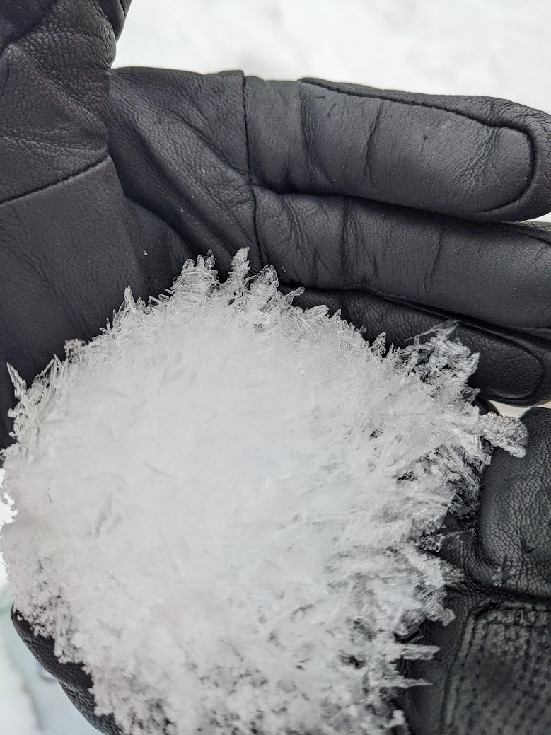
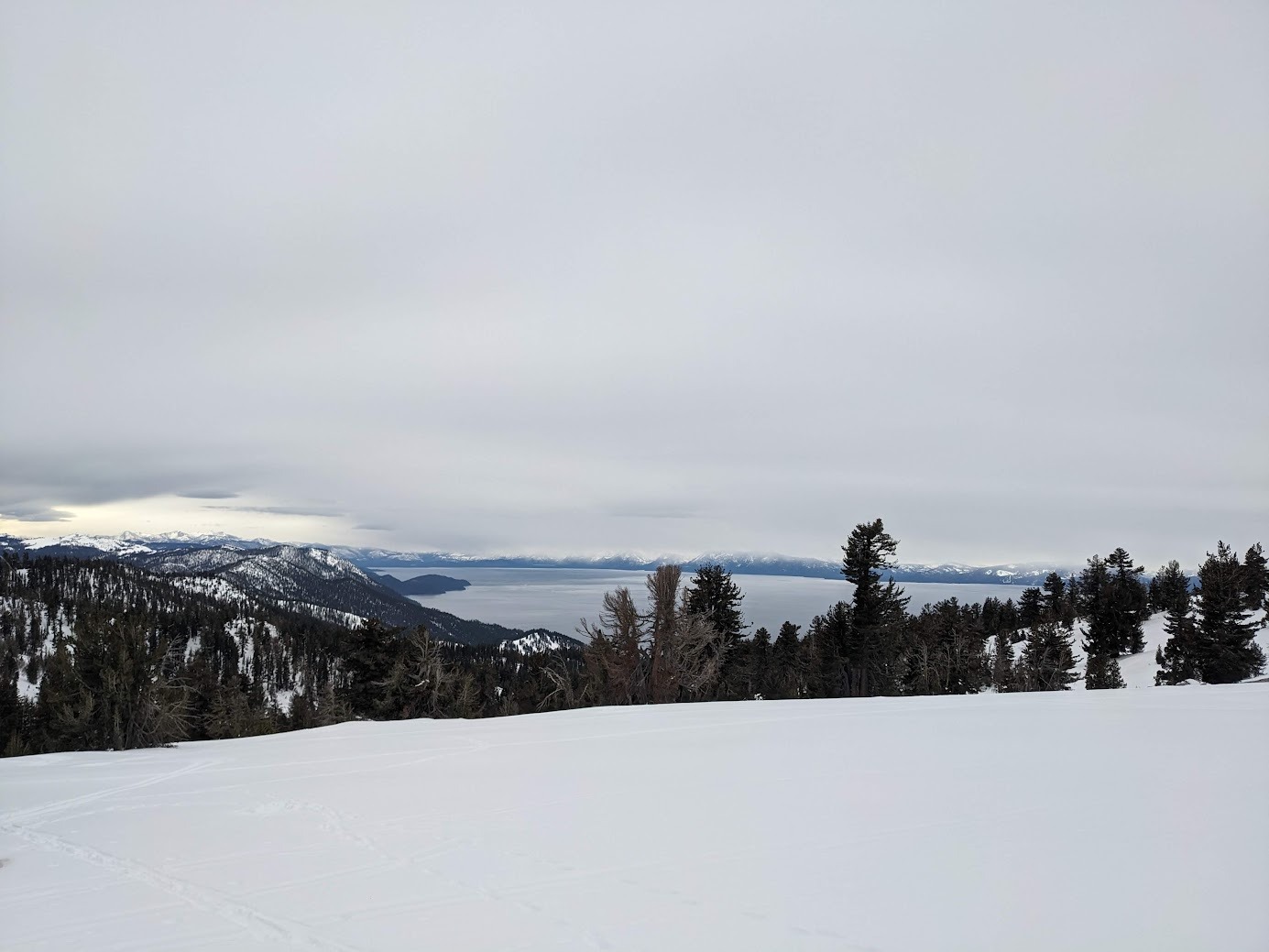
We toured around the Ophir Peak area today to monitor the existing snowpack ahead of our next series of storms entering our area. Large widespread surface hoar was found throughout our tour at all elevations on shaded aspects. Near surface faceted snow also existed below this surface hoar on shaded aspects. These snow surface conditions are a concern moving into tonight as the first storm enters our area. Wind speeds increased into the moderate range this morning with light amounts of blowing snow in this area. Some snow still remains on windward slopes for wind transport as winds are expected to further increase this evening.
Weather
- Cloud Cover
- overcast
- Wind Loading
- light
- Recent Snowfall
- 0
- Snow Avail For Transport
- small smounts
Clouds increased quickly this morning with moderate ridgetop winds and colder temperatures. By midday, the cloud cover decreased with some patchy sun and partly cloudy skies.
Snowpack
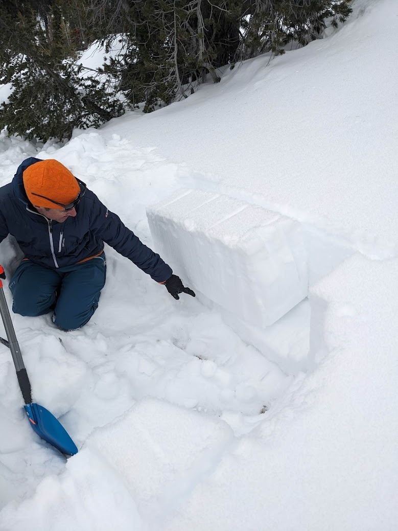
The current snowpack in this area remains shallow and weak. Depth hoar near the base of the snowpack has not shown much change over the last couple weeks remaining mostly dry and loose. Snowpack tests targeting this weak layer still show that it could reactivate in the future with a larger storm loading event. The current snow surface has a couple concerns, near surface facets and surface hoar that has been preserved up to this point. These layers may cause issues as the incoming storm deposits snow starting tonight and through Wednesday.