
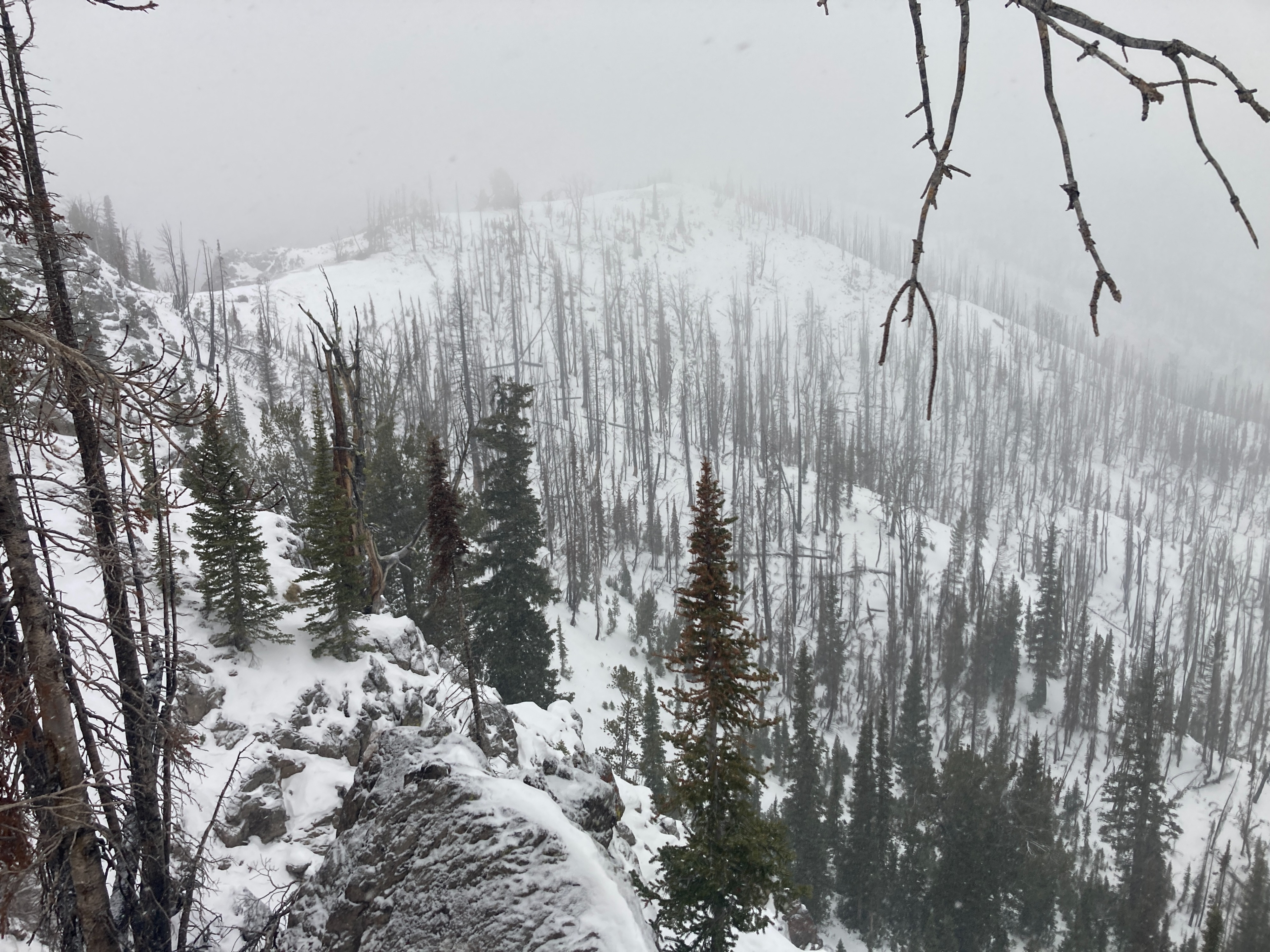
Quick report
We went out for an afternoon hike and to watch the next storm front roll in. We found 10-20cm of faceting snow on northerly and easterly aspects, especially above 8500'. Below 8500' the snow was moist and consolidating quickly. Solar aspects (south and west) were primarily dry. The next storm front rolled in around 330pm with increasing W winds, temps hovering around freezing and light snowfall. The snowfall mostly stopped by 5pm and only accumulated a trace of new snow by that time.