Paddy Peak
Jan 2nd, 2026 1:00 PM
yukongonda
Tutshi
Details
Type
quick
Coordinates
59.929052, -134.830689
Quick Observation
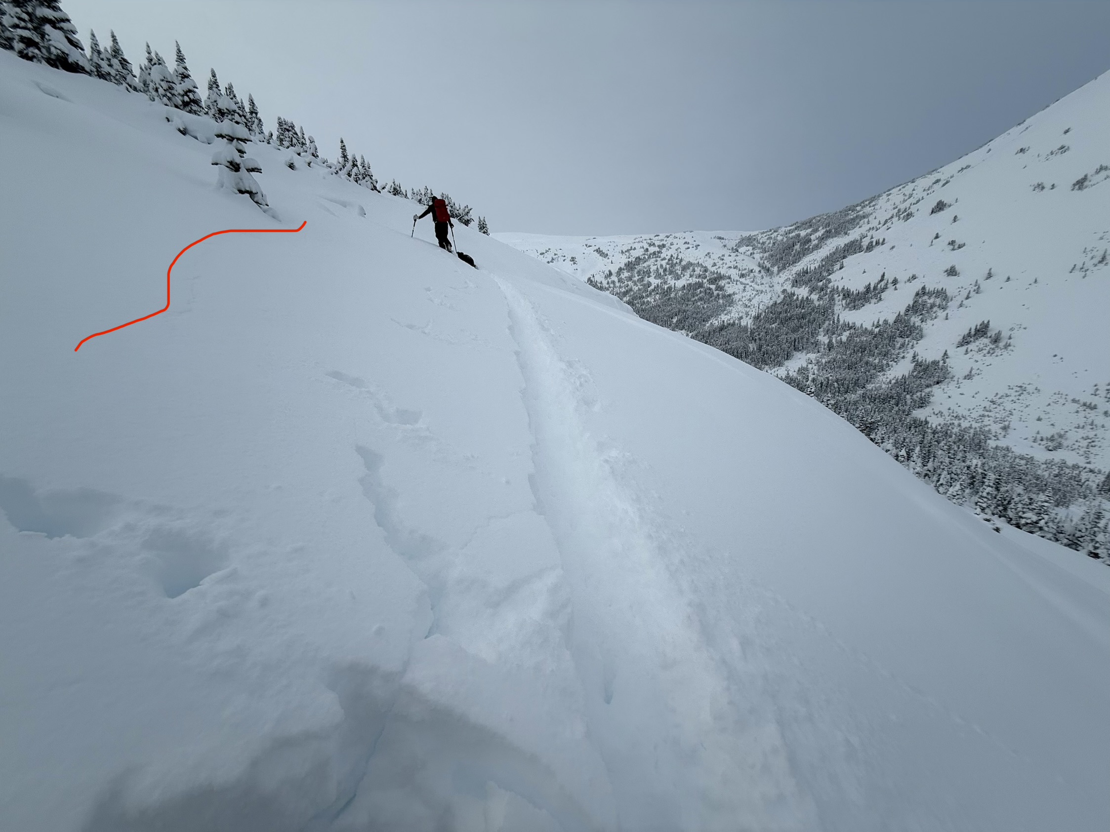
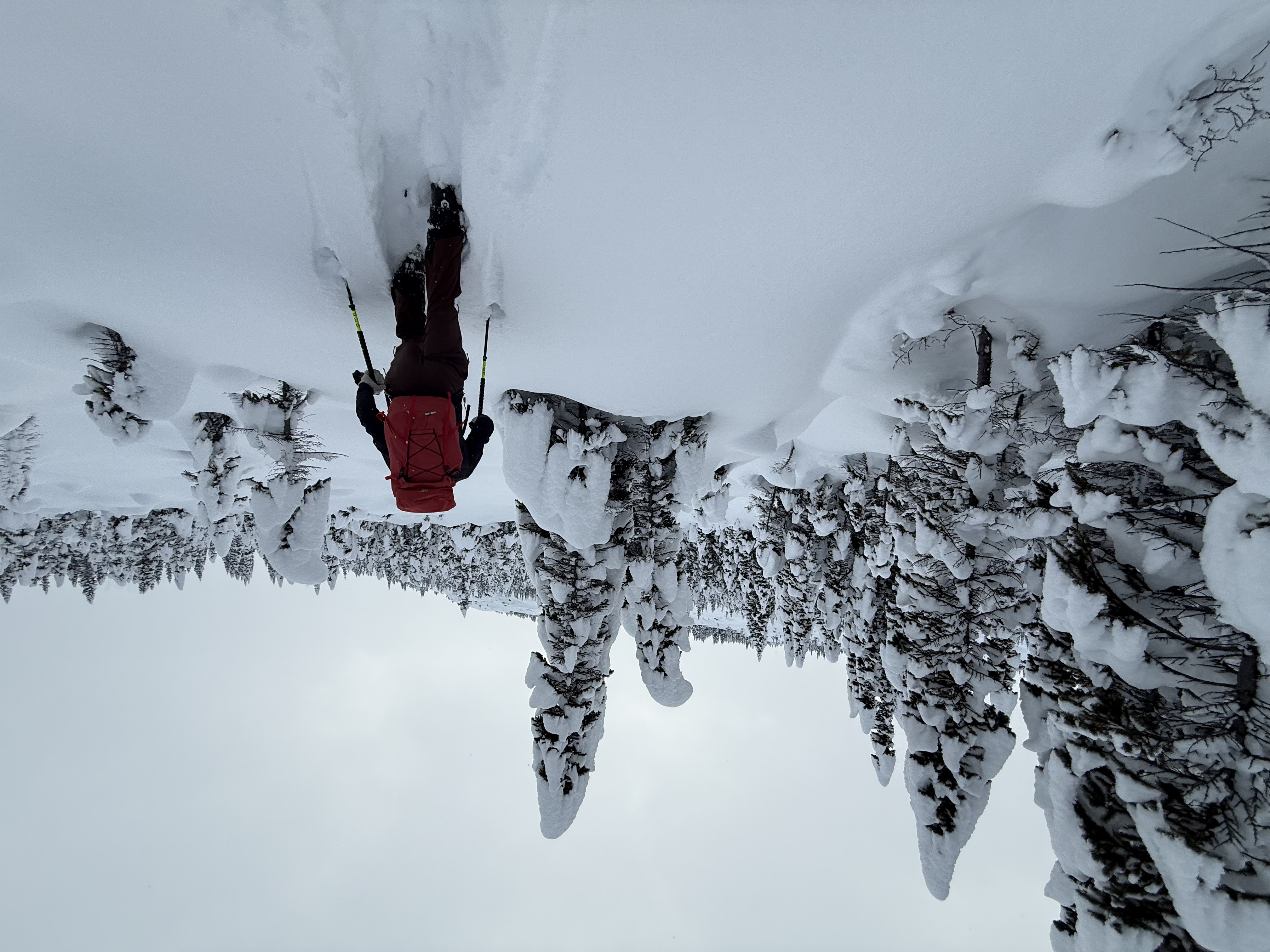
Party of two ( plus one dog) for a day tour into paddy peak area. We climbed up the access road and then skied a few short tree runs in the trees below the paddy’s peak plateau. We observed:
- avy debris on the access road from one of the south facing avy paths that cross the road, this looked like a size 2 that may have released earlier in the storm cycle as it was covered by approx 30cm of fresh.
- average HS at north facing tree line was 125 cm
- deep trail breaking in over the boot “F” to “4F” depth snow.
-we could feel the 5 to 10cm thick December drought wind pressed layer approx. 50cm below the surface in a few areas right at treeline.
- we observed two settlements including one large whoomf resulting in the shooting crack in the attached photo as we climbed up through the trees. We believe this one specifically may have been the entire storm snow failing on basal facets.
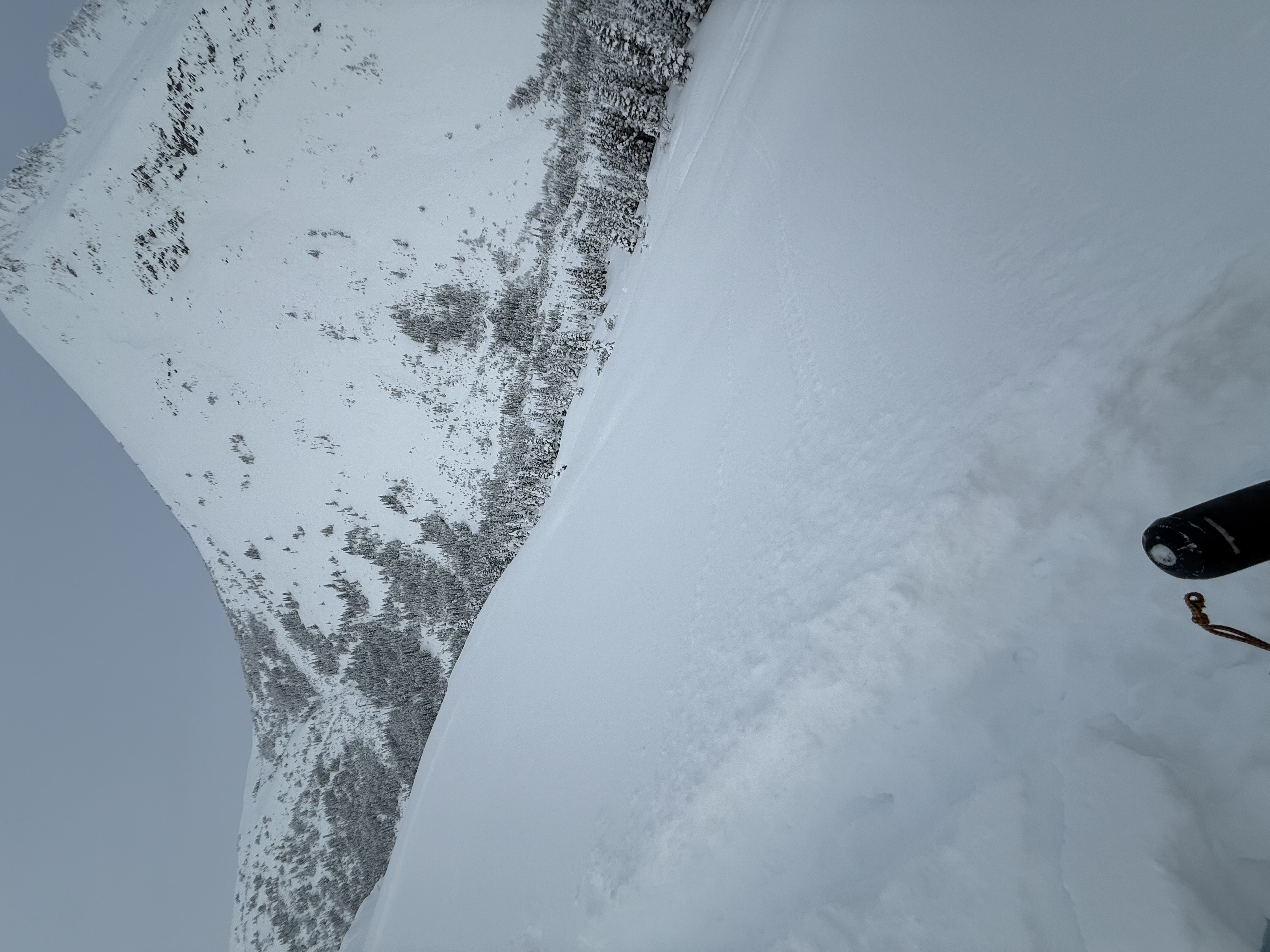
- when the clouds lifted we were able to get a look at some south , east and west facing terrain, and were surprised by lack of avalanche crowns/ debris fields leading us to think some avalanche paths did not slide during this storm leaving a lot of snow in the loading zones.
- we observed a mountain goat up high in extreme south facing terrain.
Photos (3)