Apex Secondary
Nov 28th, 2025 1:00 PM
Smoke
Details
Type
quick
Coordinates
49.372682, -119.915470
Quick Observation
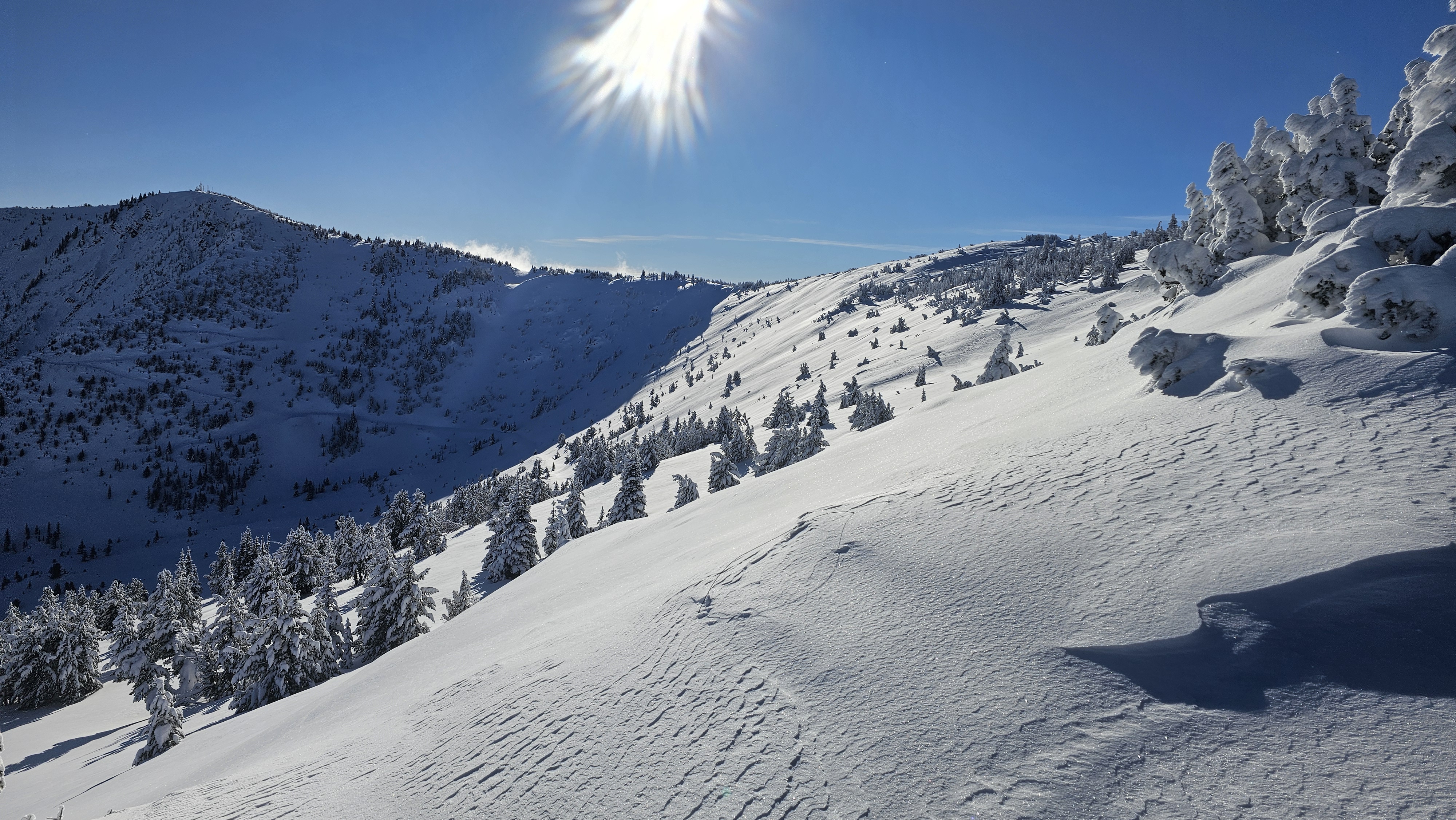
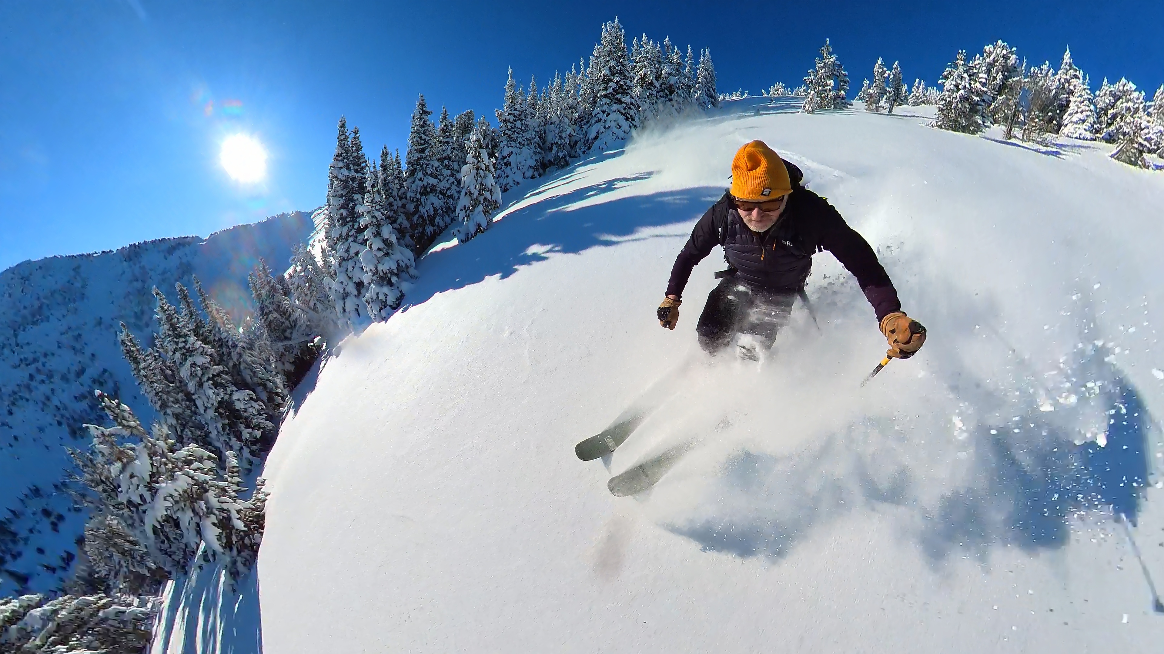
Very good November conditions up high. Average snow depth above 1600m is 80cm. 60cm on solar aspects, some east aspects up to 110cm. Depth and density drops rapidly below 1600m.
This higher elevation snowpack is quite dense and coastal feeling. 3 different melt freeze and rain crusts sit about 30cm off the ground. Some faceting occuring on these layers. Testing resulted in some moderate PC results on these layers, not really notable.
Above that is a very skiable layer of 20 to 30cm of new snow. Somewhat wind affected where exposed to easterly winds.
A layer of surface hoar 5-15mm, more obvious at ridgetop, is being buried Dec 1. This is likely going to be our first PWL of the season. Watch for reactivity as more precip falls this week.
Photos (2)