
Quick report
- Cracking
- isolated
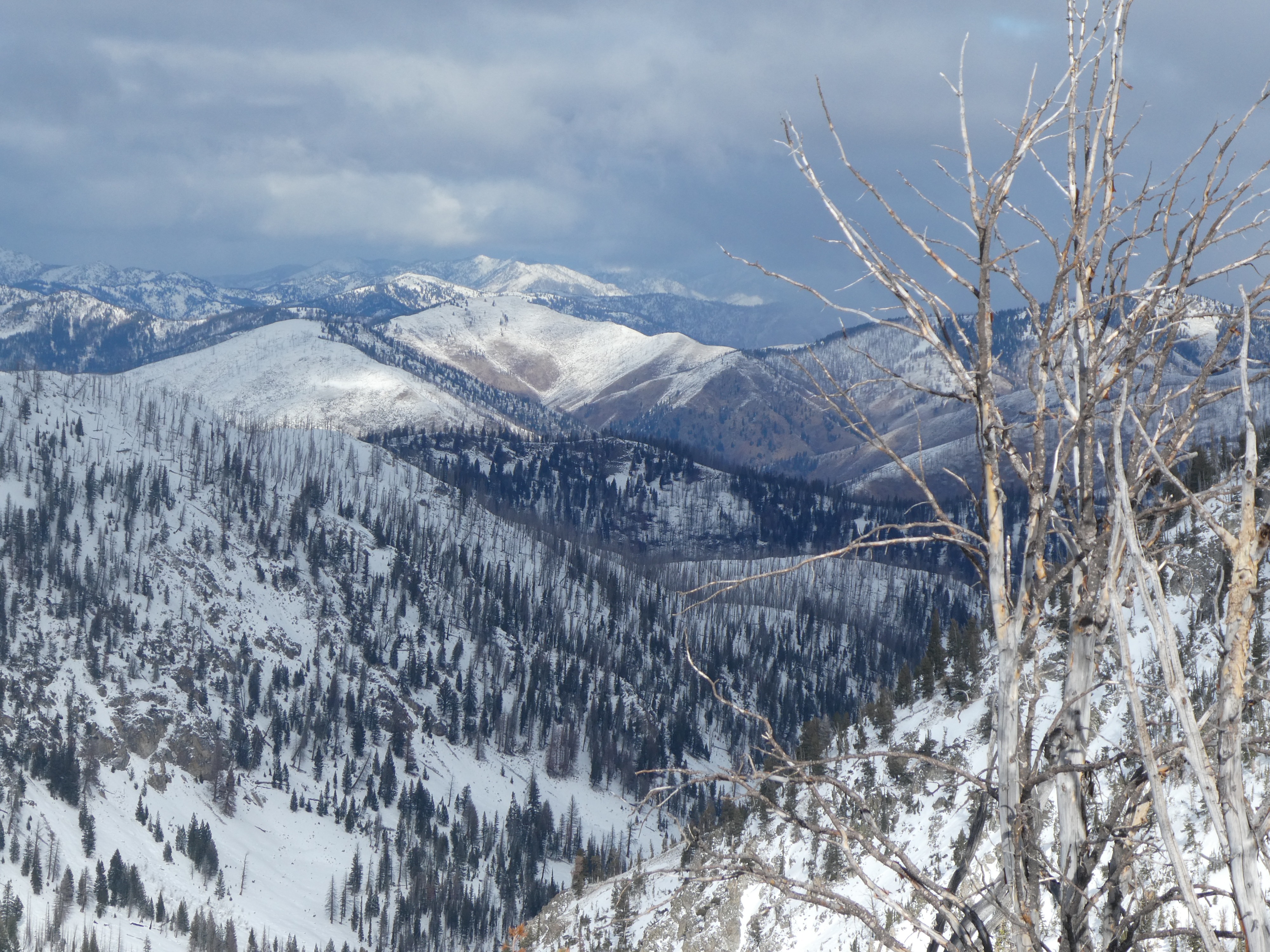
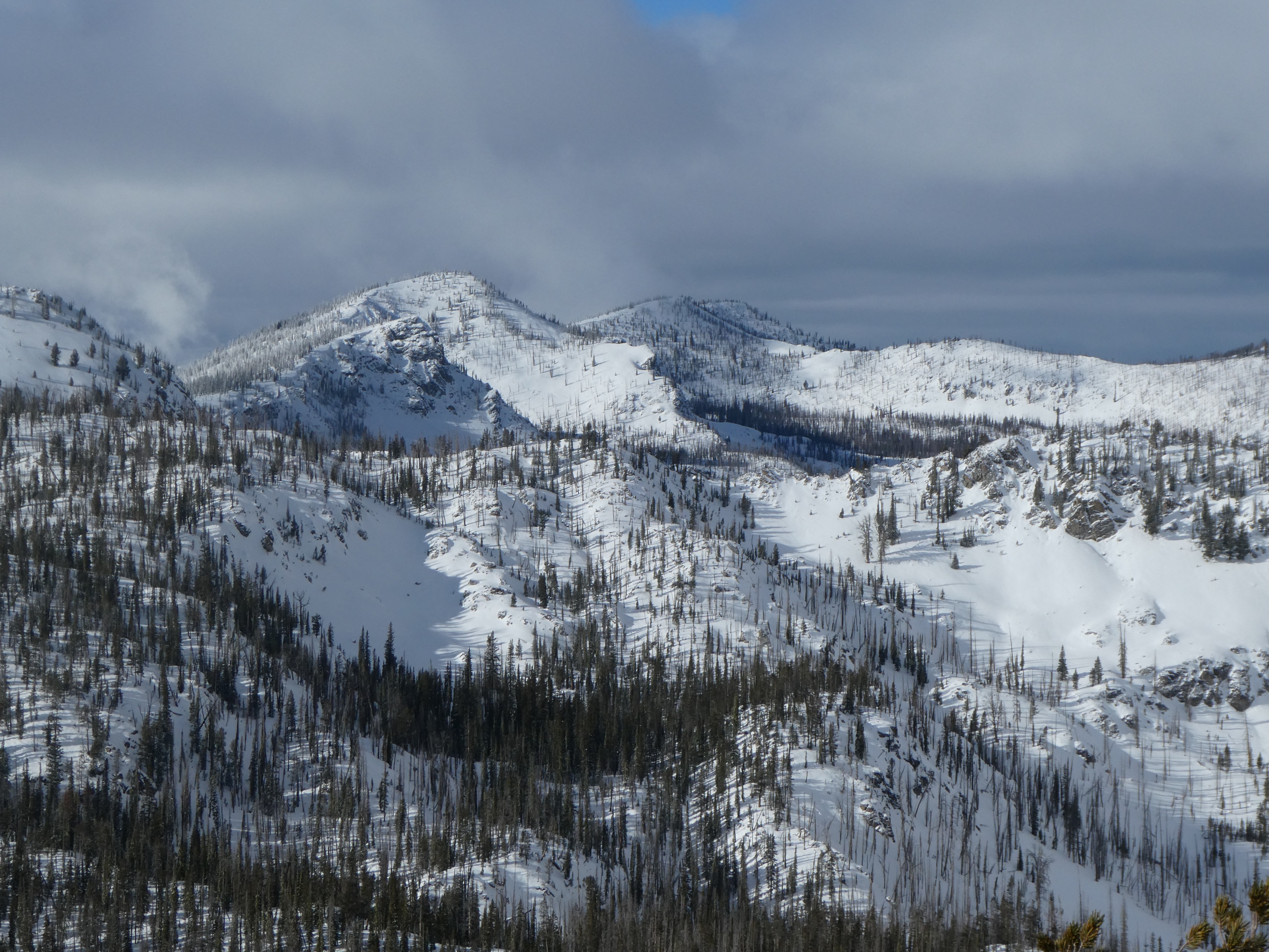
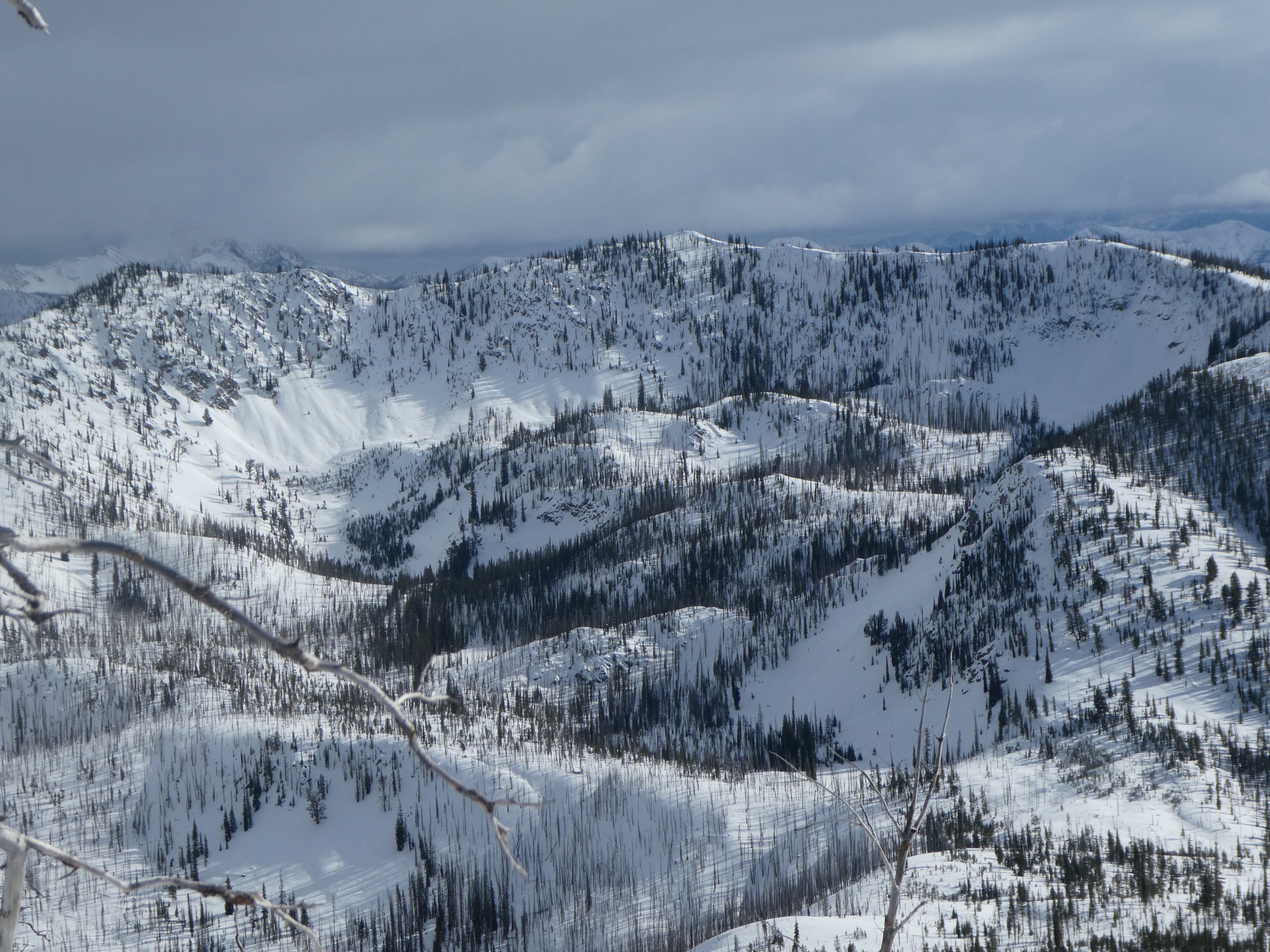
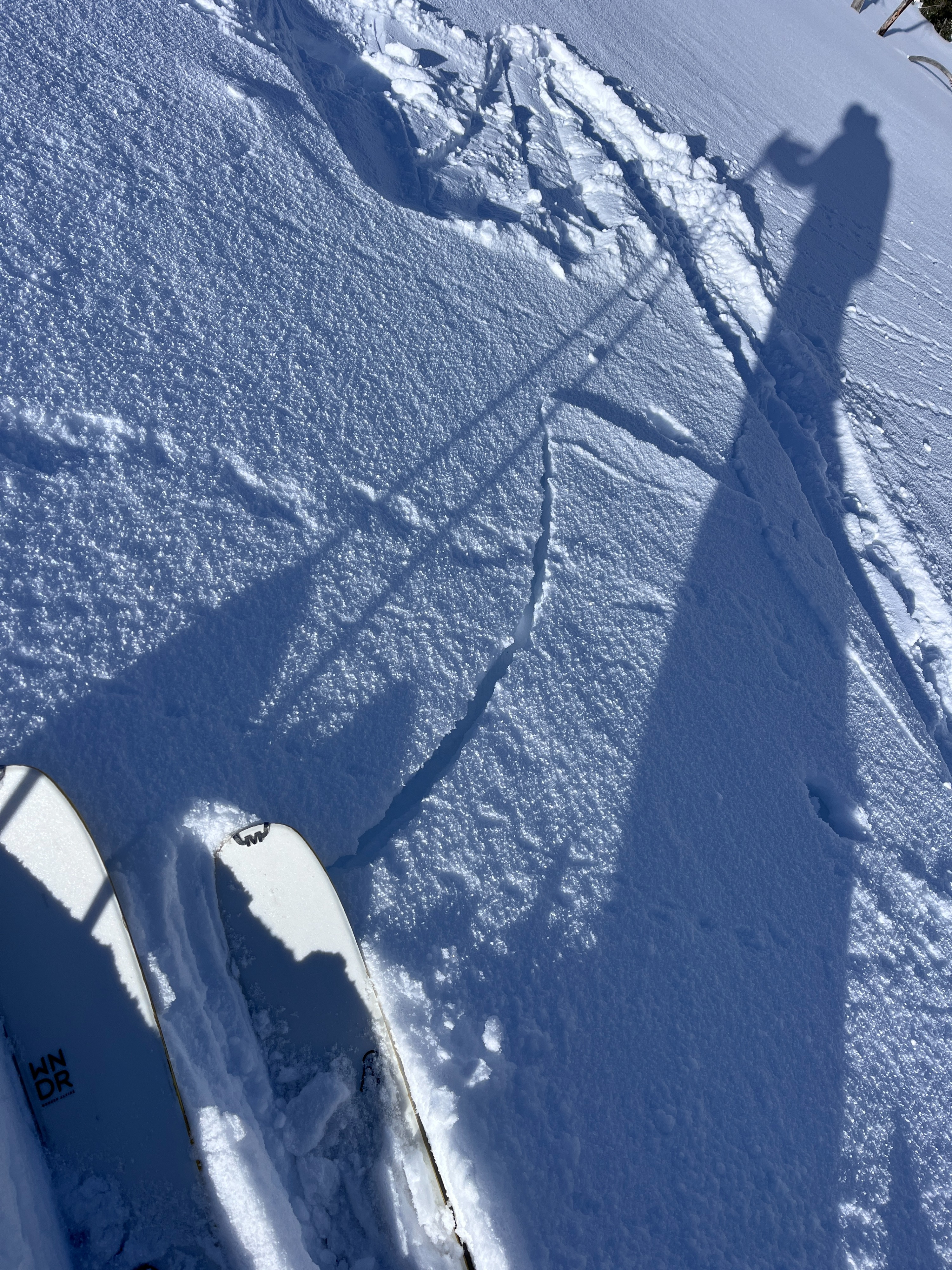
Mostly cloudy skies parted by late afternoon. Short-lived morning snow flurries added a trace of snow, to the 2-5" of snow that has fallen since Saturday. Near ridge top, wind has drifted new snow into small drifts and shooting cracks were observed, though they did not extend far.
Small pockets of wind-loaded terrain on N and NE slopes cracked where new snow drifted into cornices or small wind drifts.Weather
- Air Temp
- 10 to 25
- Cloud Cover
- scattered
- Wind Loading
- light
- Recent Snowfall
- 5-10
- Snow Avail For Transport
- small smounts
Temperatures in the parking area were 10*F at 10AM, and 25* at 4 PM. Clouds decreased and became partly cloudy by 1PM. Short pulses of snow this morning laid down a trace of snow. Calm - light N winds were observed at ridge top.
Snowpack
New Snow: Since Saturday, 5-10 cm fell in this area. This recent snow fell onto a weak, faceted surface on N and NE facing slopes. On sunny slopes, new snow fell onto a 1-2 cm melt freeze crust. Near ridge top, wind has blown snow into small drifts ~5-10 cm thick.
HS: Above 8000' 75-120 cm of snow is on the ground. Snow depth is depended on aspect, where solar slopes are on the leaner side of this range, while shady slopes generally hold more snow. Near ridgelines, pockets of relatively shallower snow do exist, even on shady slopes.
- At 8000' on an E facing slope, a layered snowpack is taking shape. A deposing crust that likely formed around 11/10 separates old snow near the ground from a 60 cm 1F to 4F+ slab above. ECTP 30 at the interface between the crust and the slab above.
The upper portion of the snowpack below recent snow if faceted and thin crust separates these facets from new snowfall. (See photo)