
Quick report
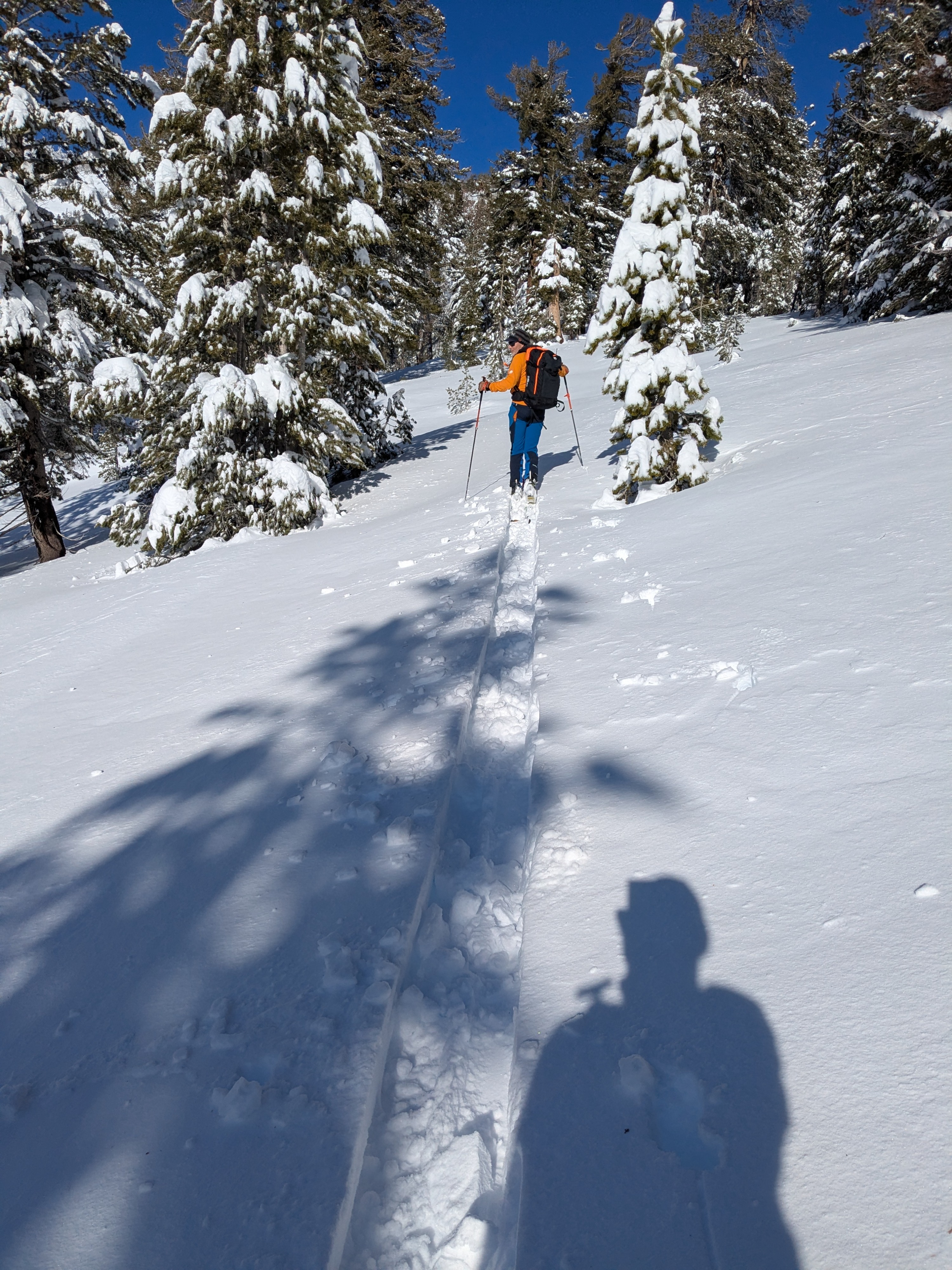
We toured the East Ridge of Relay Peak today with the goal of examining recent wind slab development and checking on old facet layers that were still weak along the N side of the E. Ridge on Dec 19.
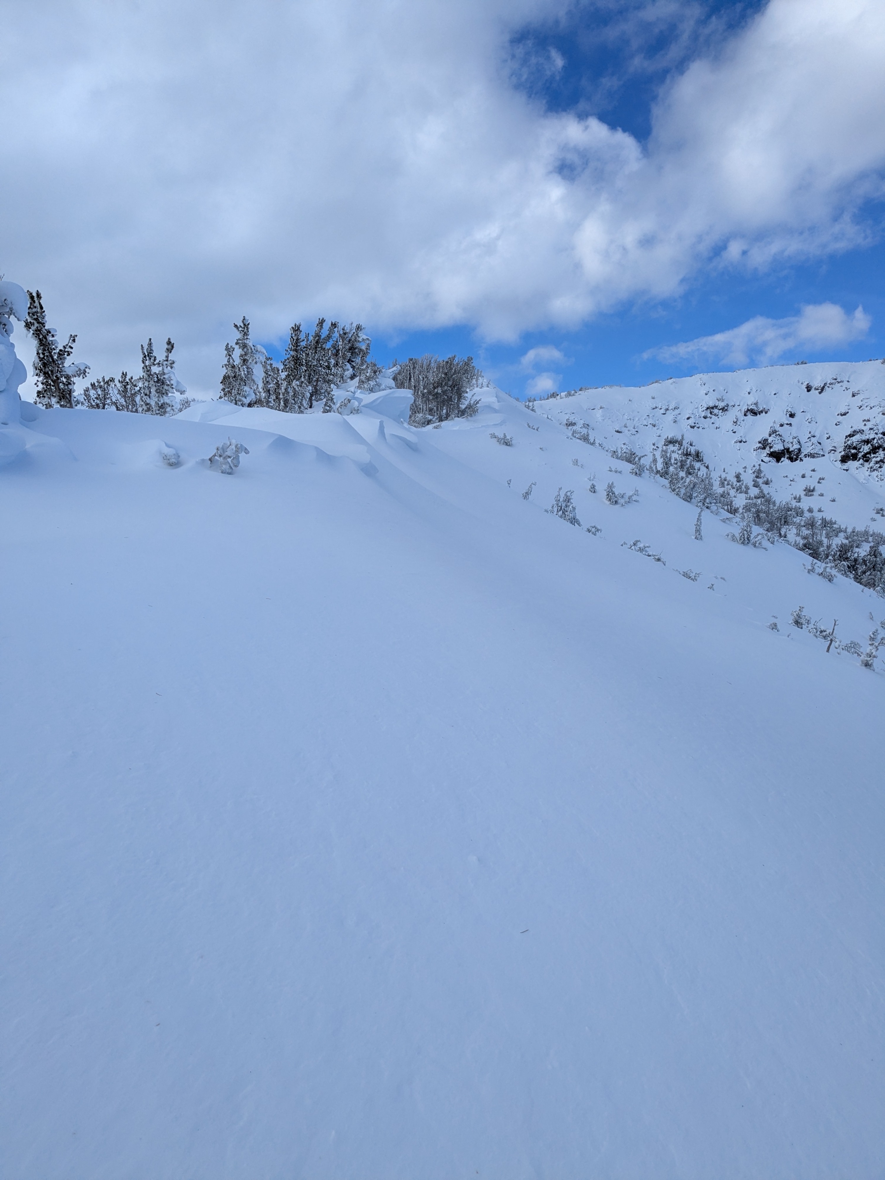
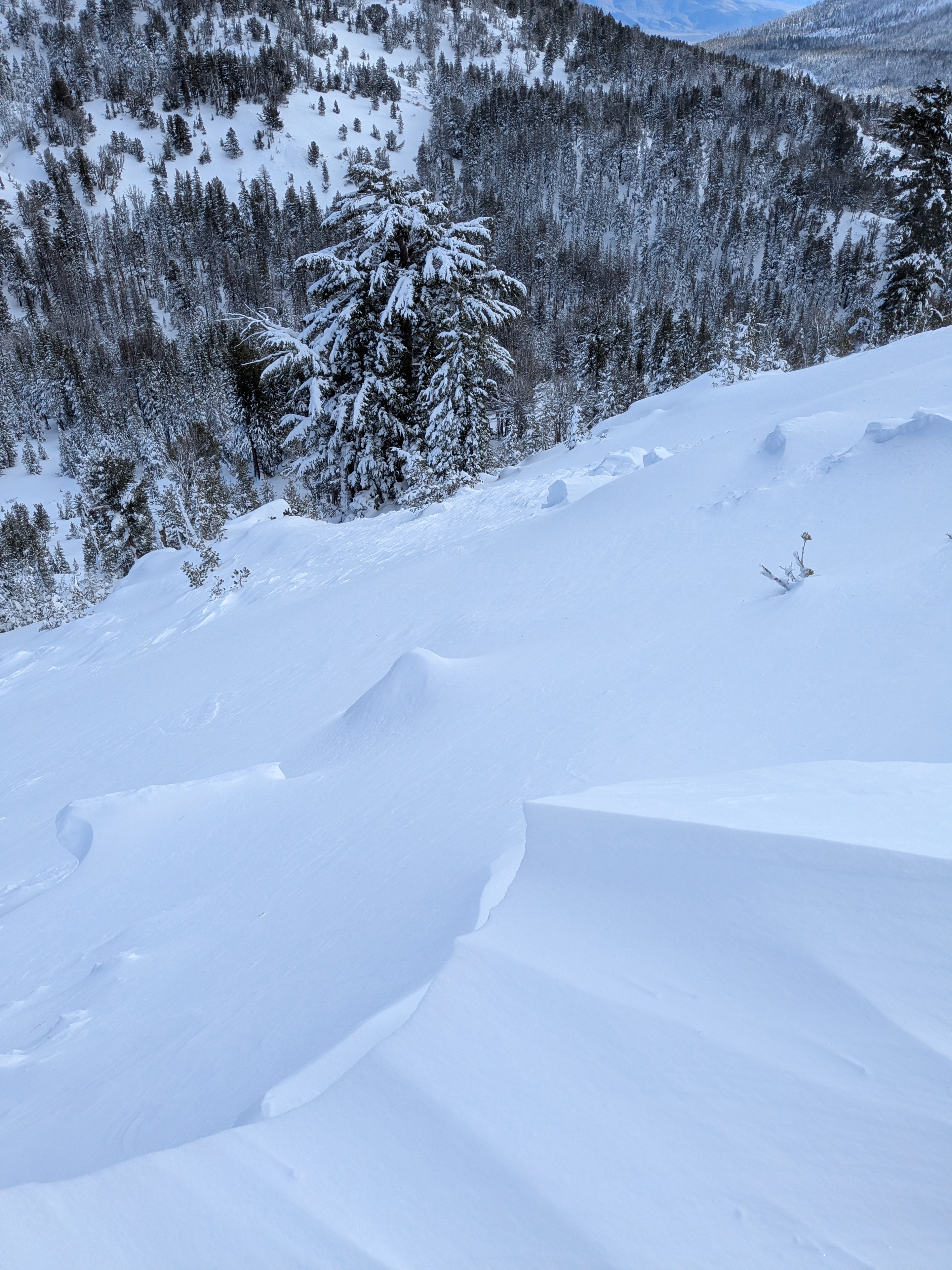
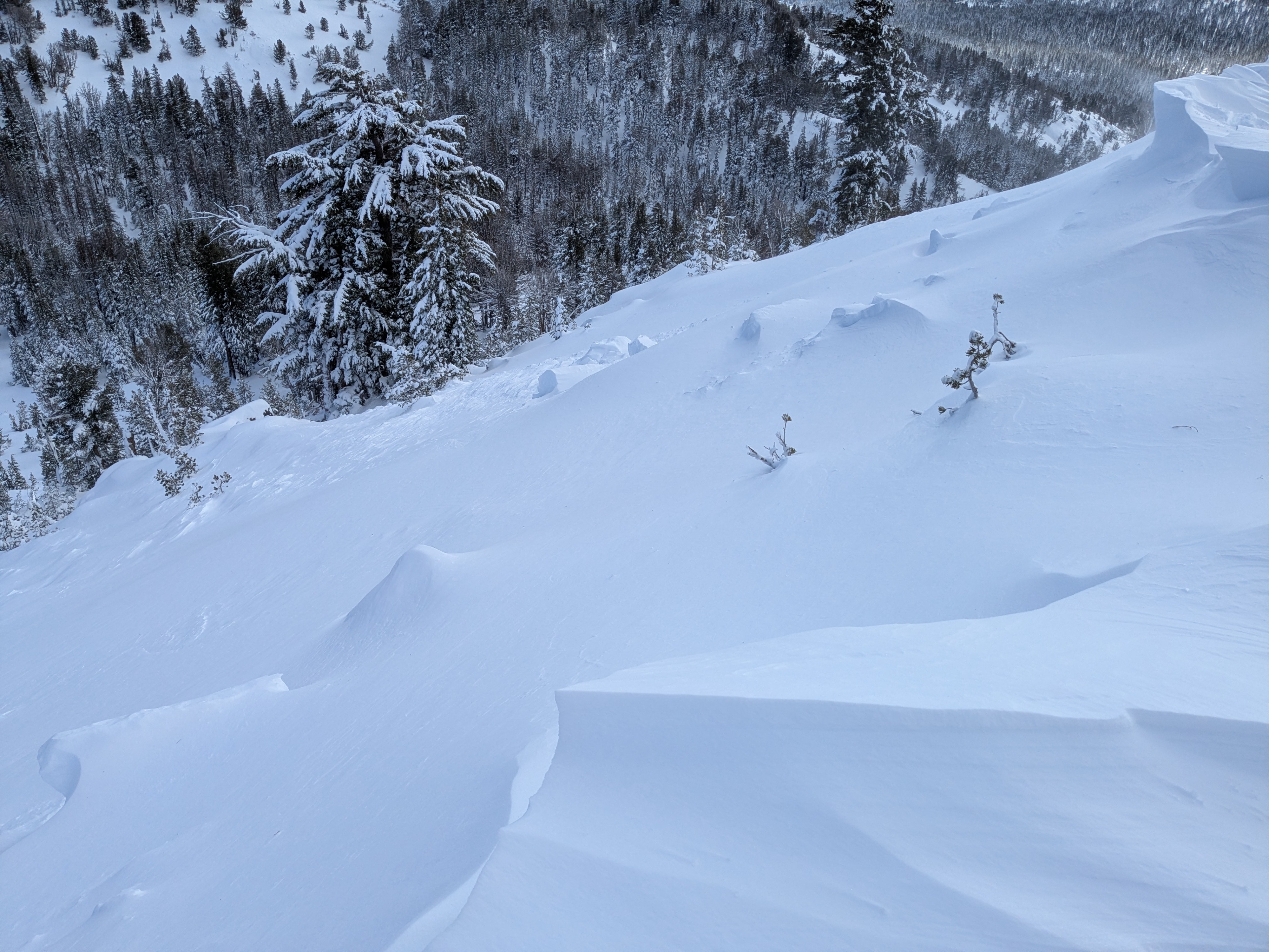
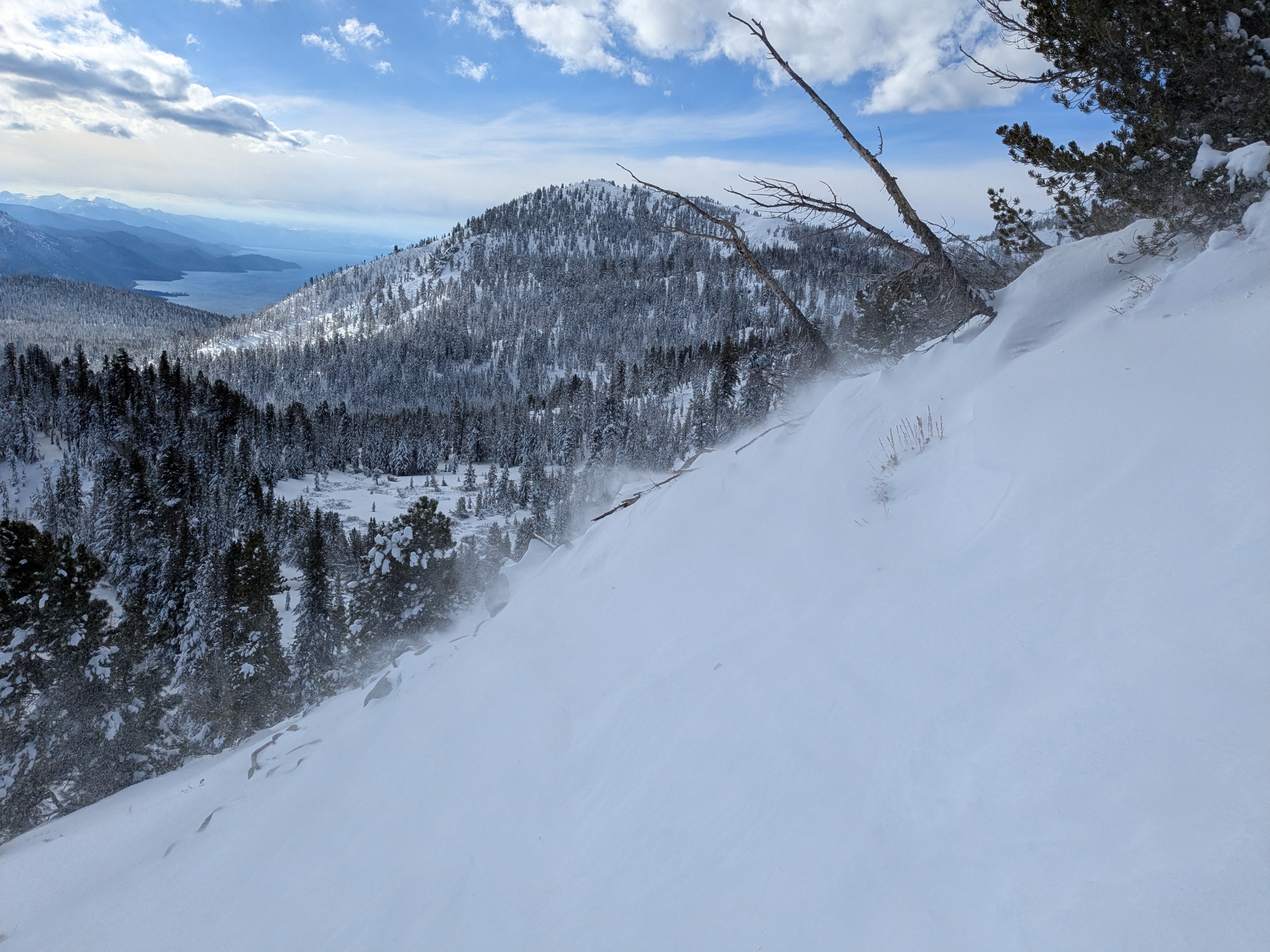
We saw small to moderate amounts of blowing and drifting snow along the ridgetops. Wind slabs we encountered were up to 1 foot thick but very difficult to trigger. We noted a fair amount of cornice fall in heavily wind-loaded terrain. We saw the debris from one size D1 wind slab avalanche, likely triggered by natural cornice fall on Dec 22.
When we got to the area of our snowpit and notable weak snow observed on Dec 19, we probed a transect across a fair amount of the area. Via probing, we felt strength gains in the snowpack below the 2.5 feet of recent storm snow on what had been old snow weak layers a few days prior. We dug a pit and were able to confirm the probe findings of notable strength gains in the old snow.
Observed the debris of a size D1 wind slab, likely triggered naturally by cornice fall.Weather
- Air Temp
- 26
- Cloud Cover
- broken
- Wind Loading
- moderate
- Recent Snowfall
- 71
- Snow Avail For Transport
- small smounts
Increasing cloud cover through the morning hours going from few clouds early to mostly cloudy by midday.
Snowpack
We dug a pit a little above 9,900' on a N aspect near the location of our snowpit from Dec 19. Notable strength gains have occurred in the old facet layers at the old snow/storm snow interface (60cm) and at ground level. Rain to 10,000' and an over doubling of the snowpack depth over the past four days has added both moisture and strength to these layers.
Avalanche
- Size
- D1
- Aspect
- E
- Trigger
- N
- Elevation
- 9500 ft