
Weather
- Air Temp
- 42
- Cloud Cover
- scattered
- Wind Loading
- none
- Recent Snowfall
- 0
- Snow Avail For Transport
- none
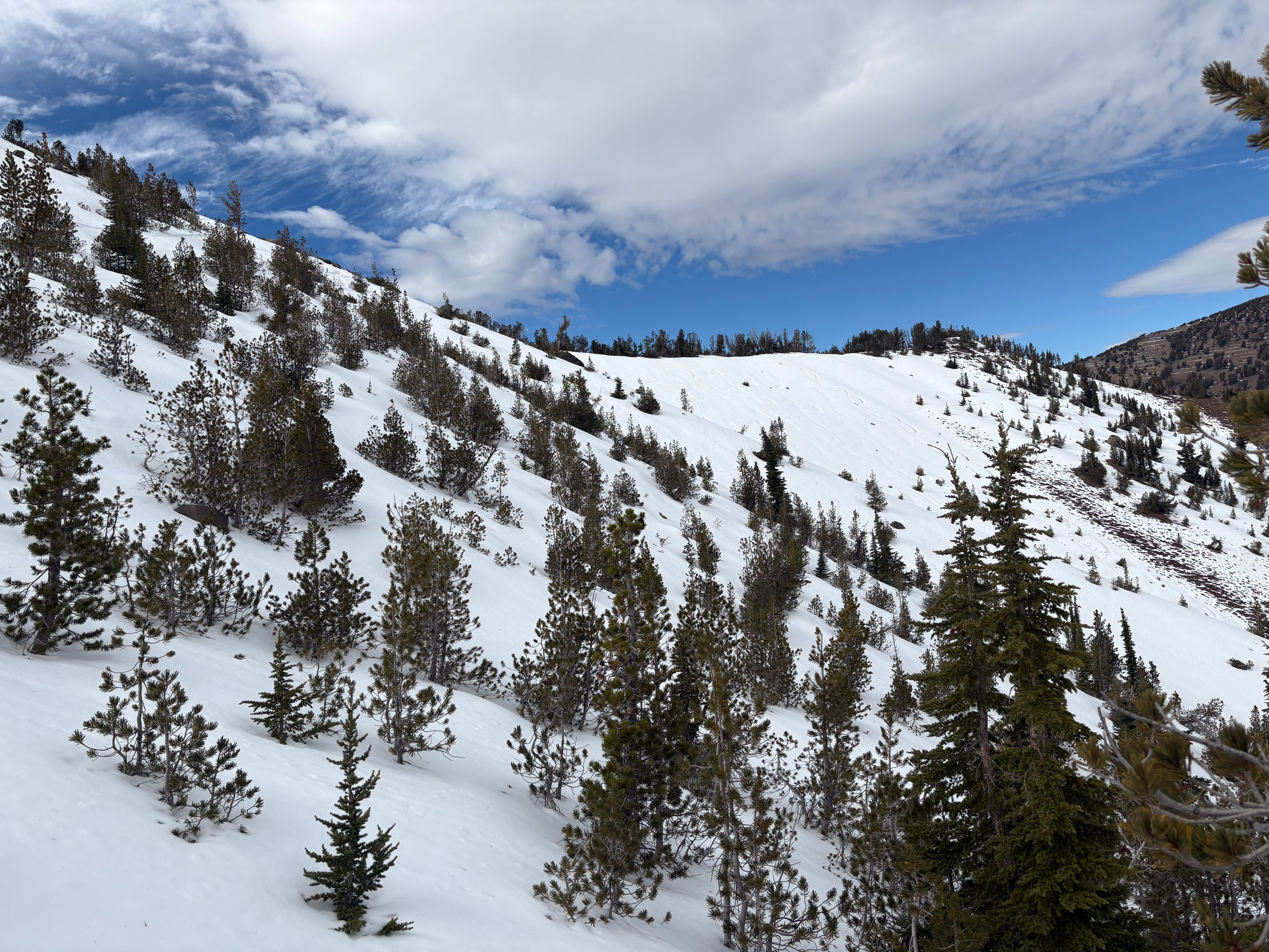
Partly cloudy skies with light winds today in the Mt. Rose area.
Snowpack
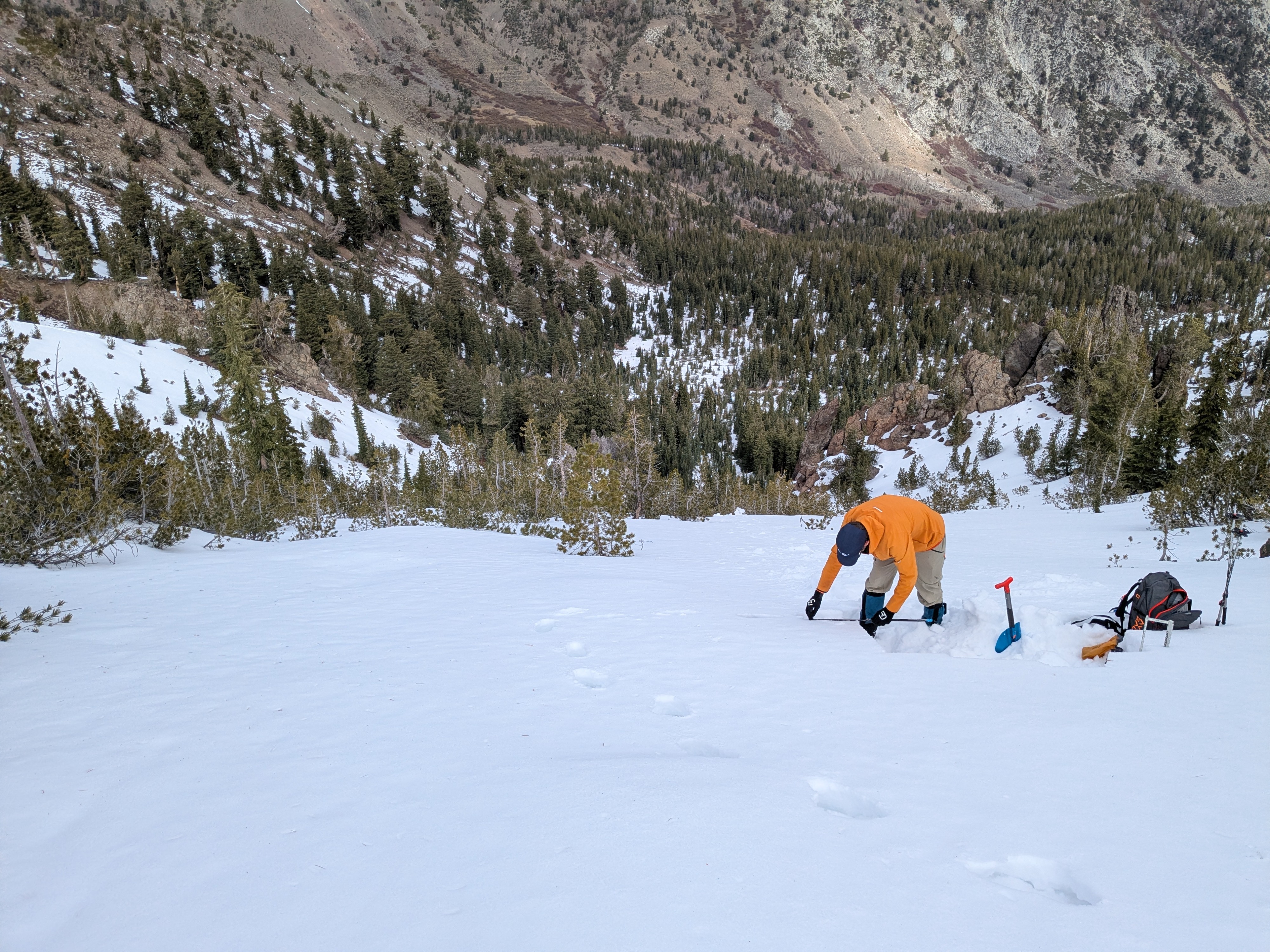
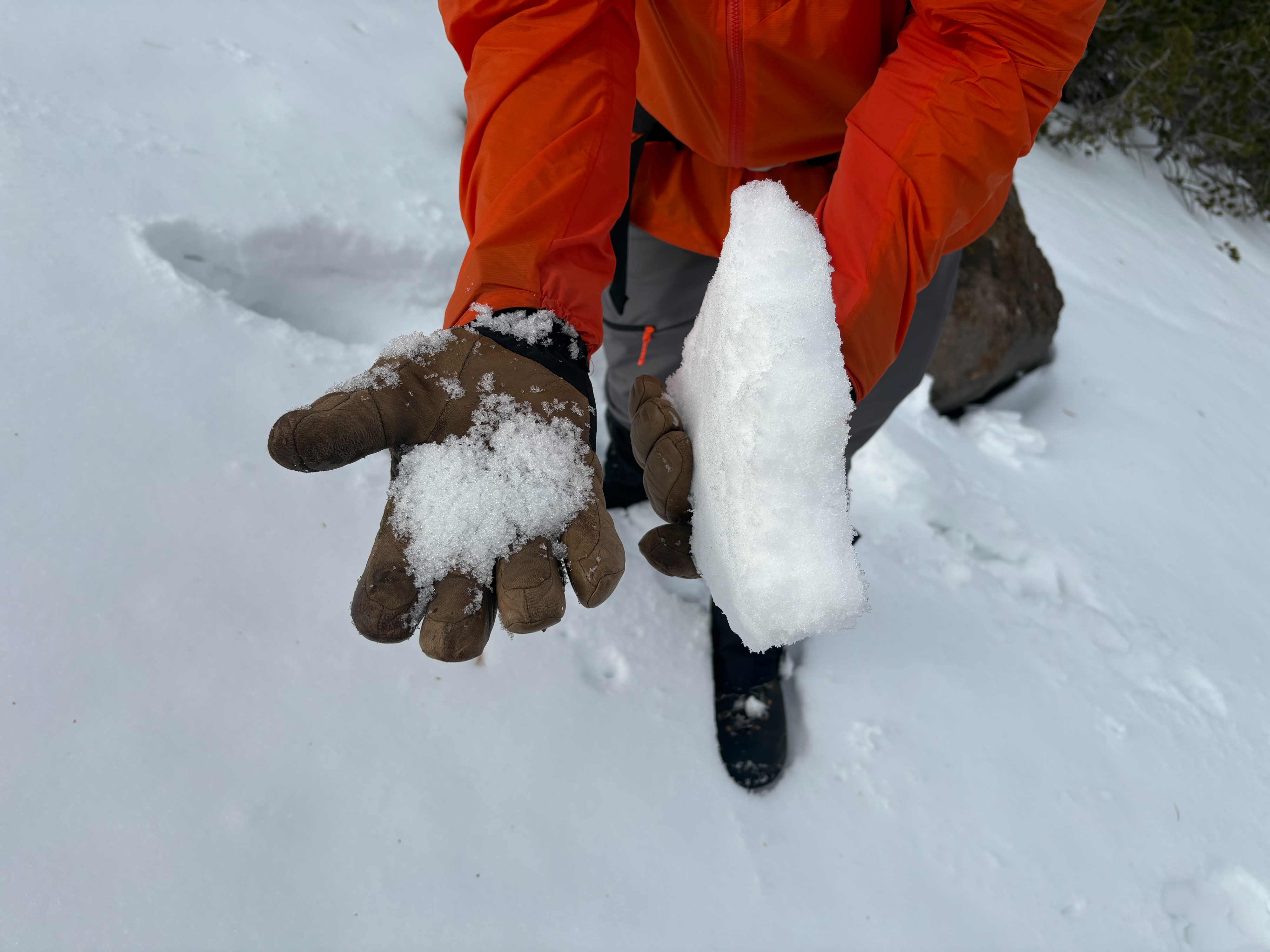
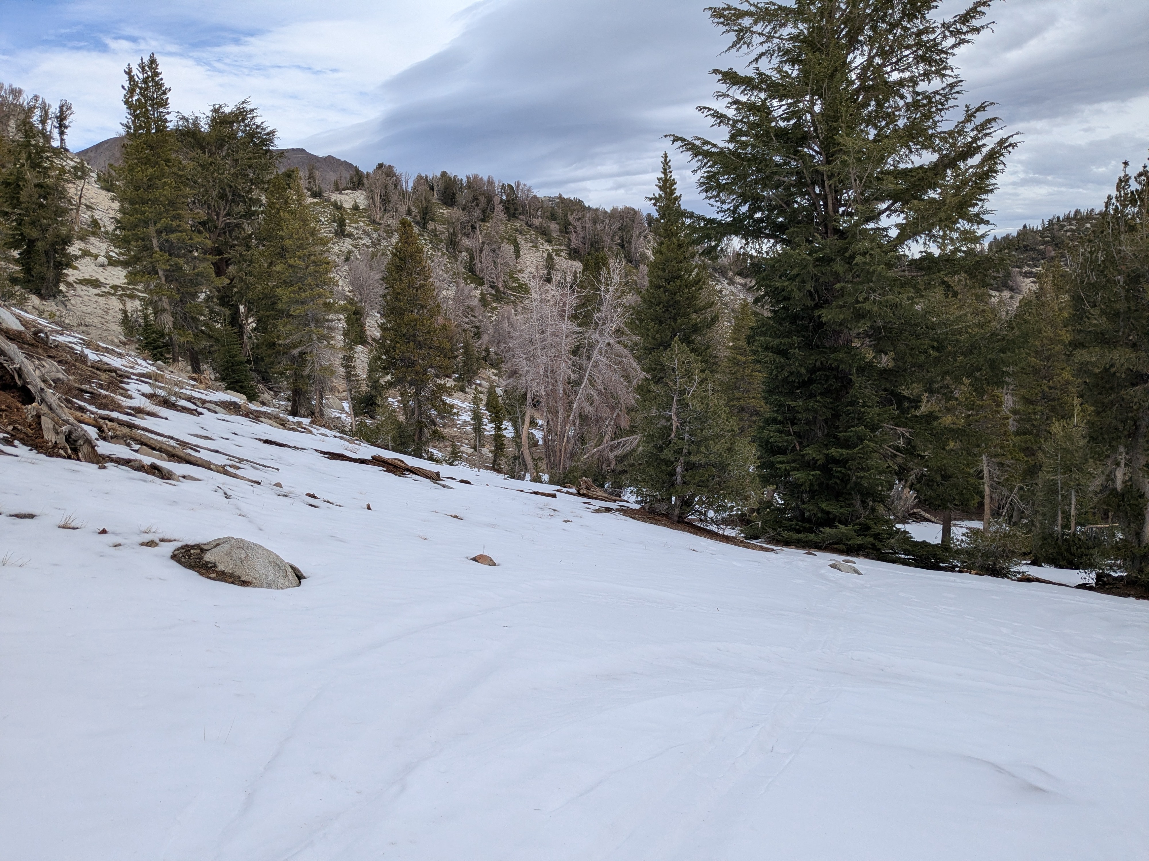
We went back to Tamarack Peak in the Mt. Rose area to monitor the shallow snowpack that exists on northerly aspects. After the recent snow storm in early November, slightly more snow exists in this area than did on our last visit. On northerly aspects above 9500', up to a foot of snow is present from the early season storms in October and the more recent storm last week. A strong melt freeze crust exists on the surface with a mix of old rain crusts and weaker faceted snow between these crusts down to the ground. These older rain crusts are decomposing and becoming weaker over time through the faceting process with mostly clear skies and a shallow snowpack. A warmer storm with high elevation rain is expected to move into the forecast region starting Thursday morning.