
Quick report
We toured the NE-E and SW-W aspects of Andesite Peak today covering the 7,200' to 8,200' elevation range. Melt-freeze surface conditions were present in all sun exposed areas. Shaded slopes held near surface facets without previous melt at the snow surface. As expected, snow surface melt was greatest on S-SW aspects. Smooth, full sun exposed snow surfaces on these aspects held decent travel conditions.
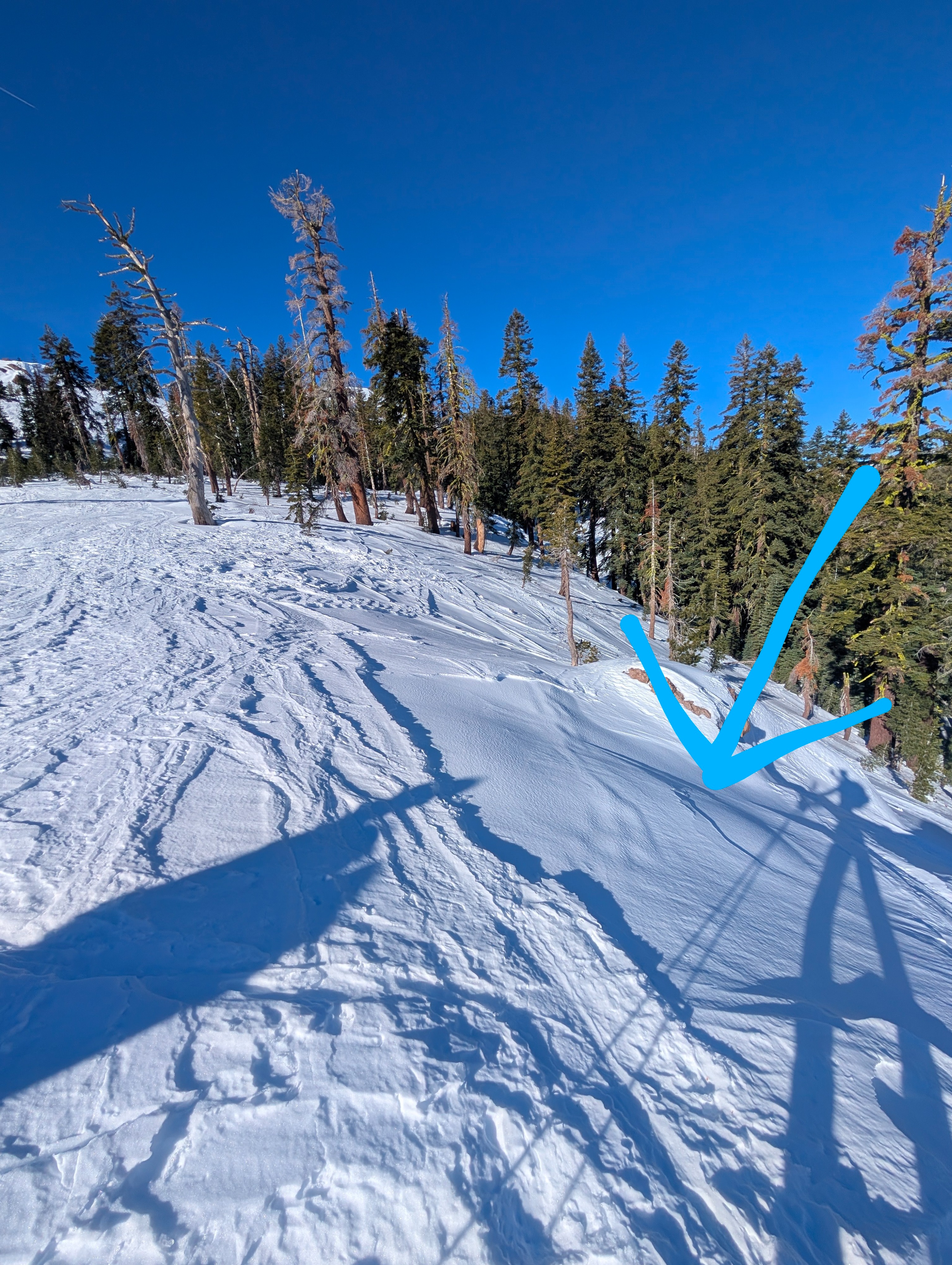
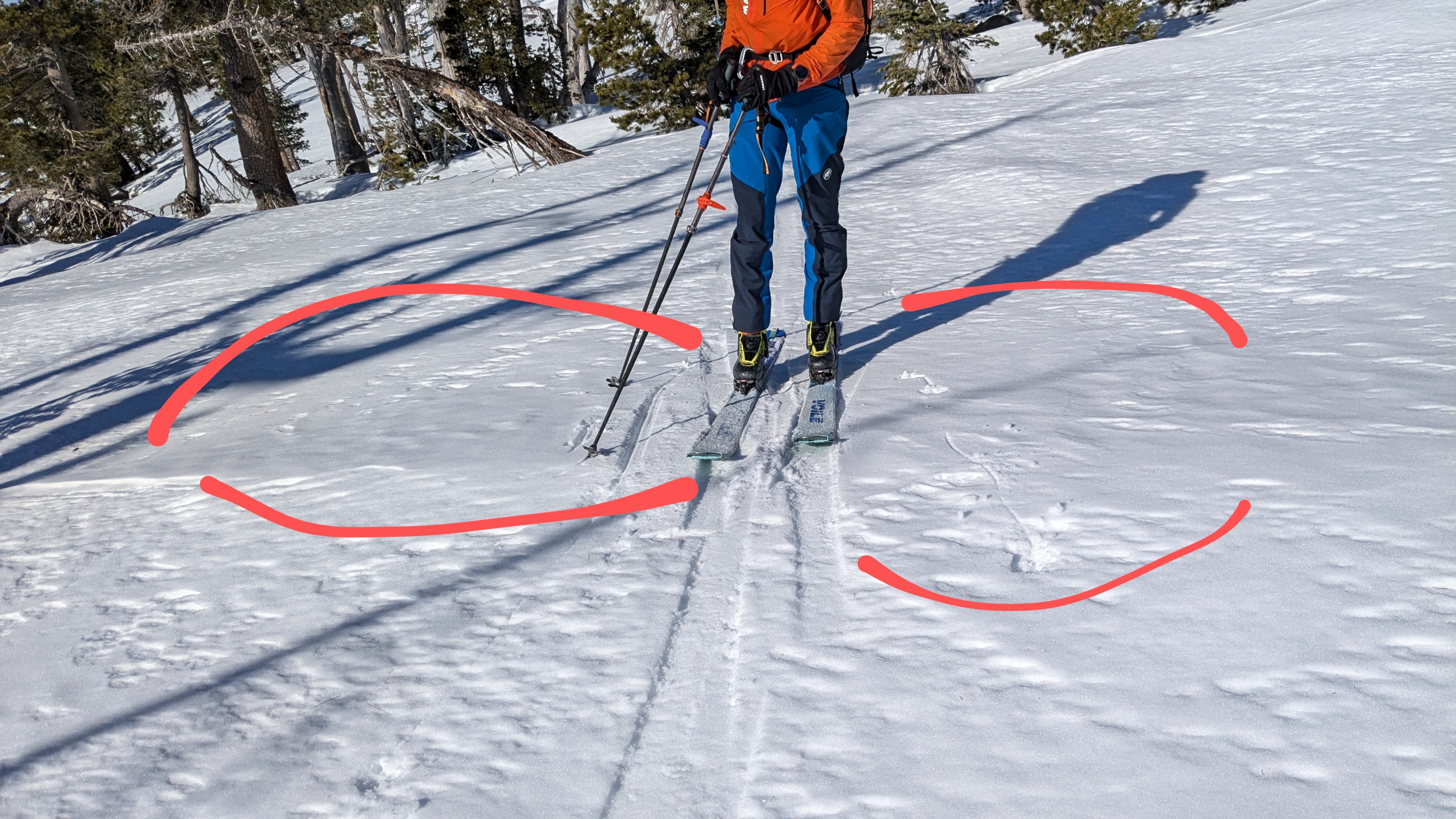
Winds were strong out of the NE last night and had become light by our midday ridgetop arrival. We saw some isolated snow surface clues indicating very minor amounts of wind scouring and deposition had occurred last night at and above treeline.
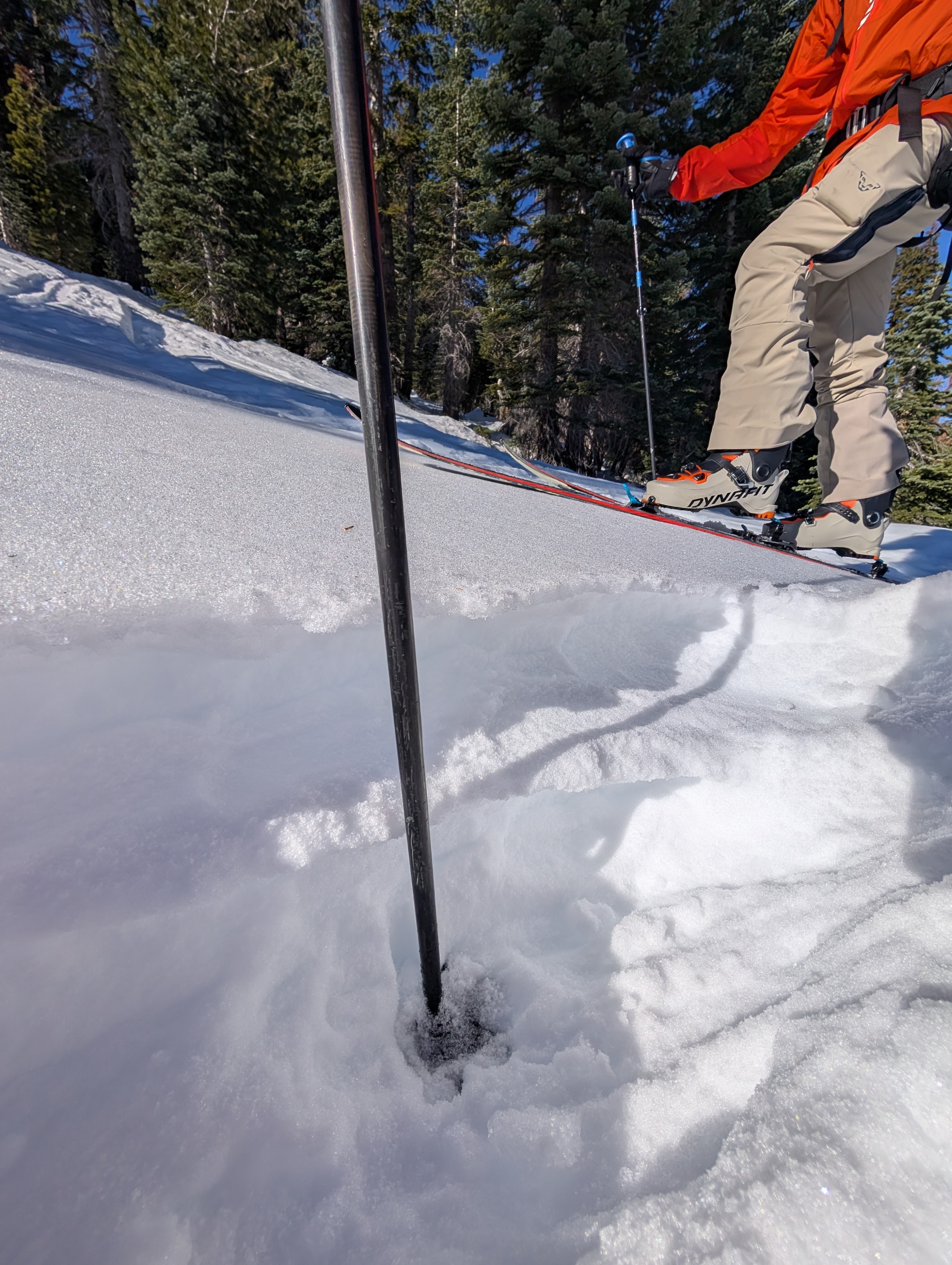
We noted some weakness in the upper snowpack on shaded slopes, as described in the snowpack section below.
Weather
- Air Temp
- 50
- Cloud Cover
- few
- Wind Loading
- none
- Recent Snowfall
- 0
- Snow Avail For Transport
- none
Decreased NE winds, sunny skies, warm temps.
Snowpack
Some upper snowpack weakness observed below a thin rain crust on shaded slopes along with near surface facets. Otherwise, there are strong mid-pack and basal layers, similar to other northern Sierra Crest portions of the forecast area.