
Weather
- Air Temp
- 30
- Cloud Cover
- overcast
- Wind Loading
- none
- Rain Elevation
- 6500'
- Recent Snowfall
- 30
- Snow Avail For Transport
- moderate amounts
Cloudy skies with light snow on and off throughout most of the day. Some clearing with a brief period of sun midday. Winds were light up to the peak.
Snowpack
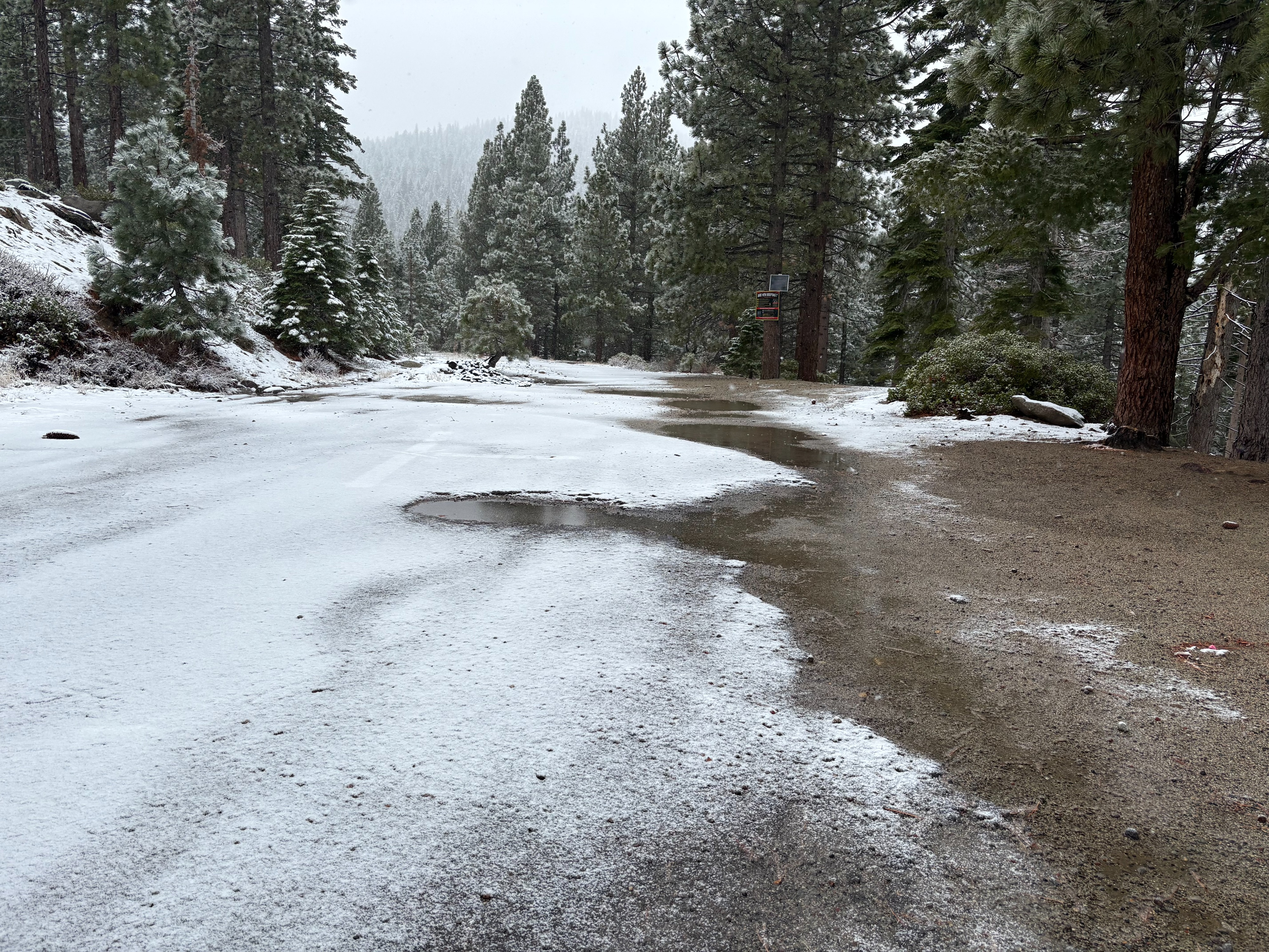
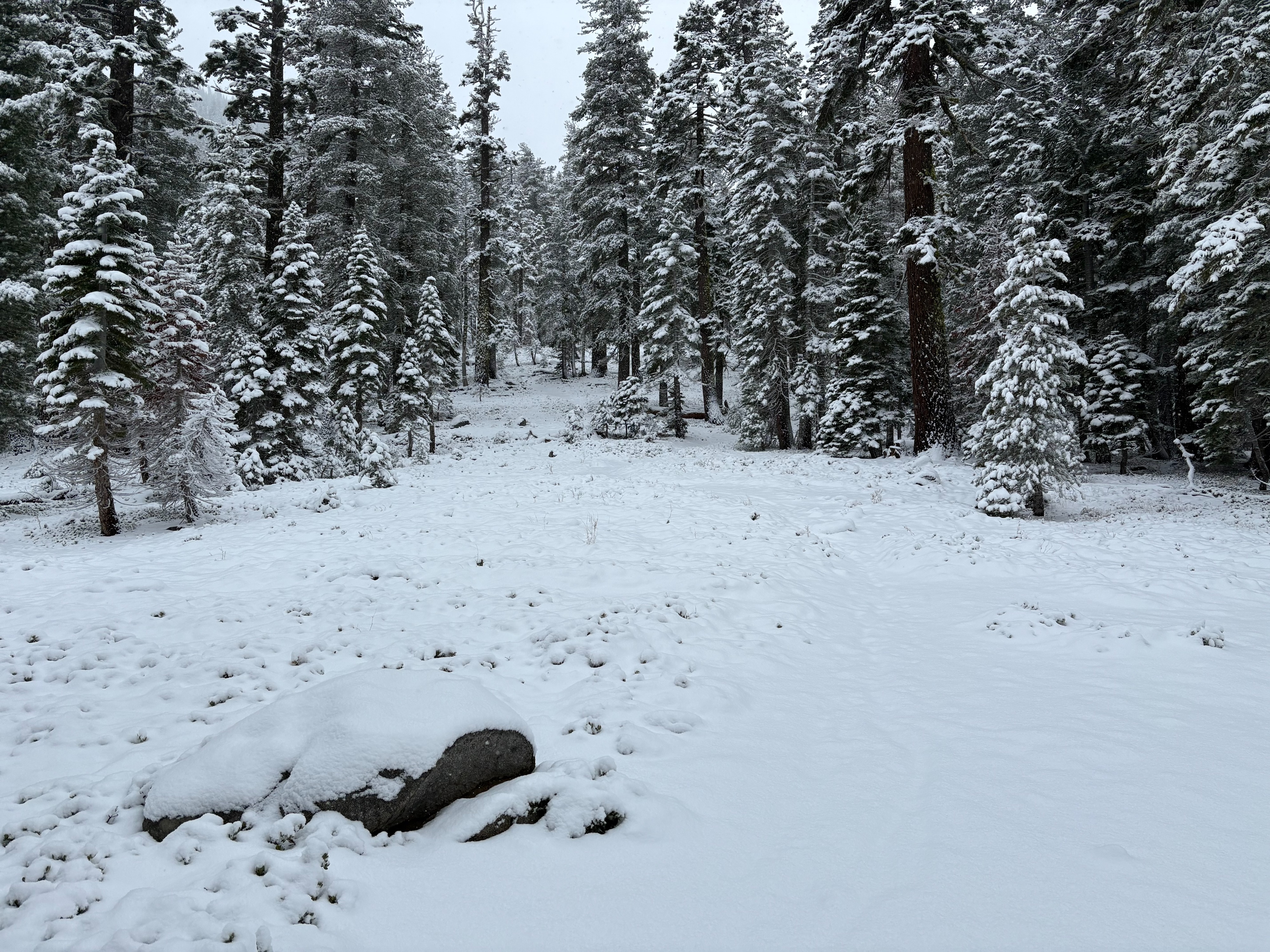
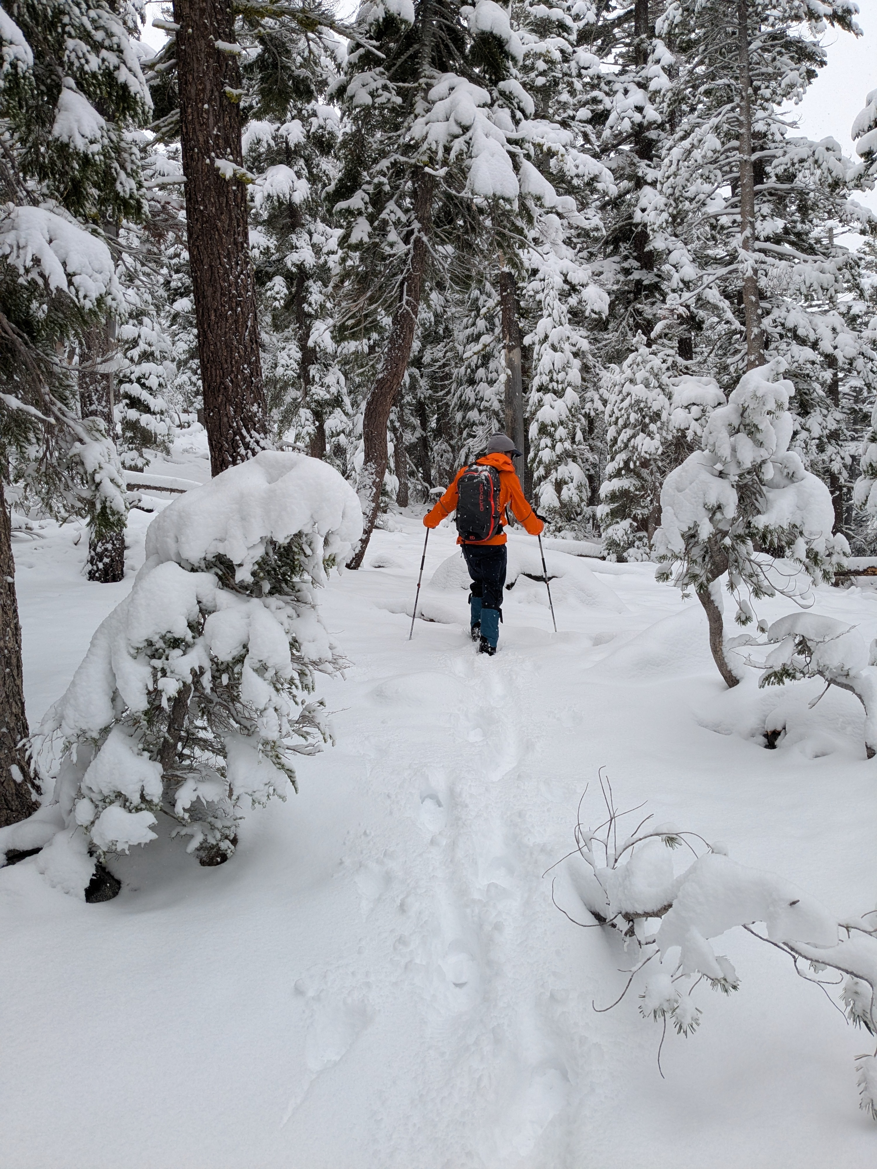
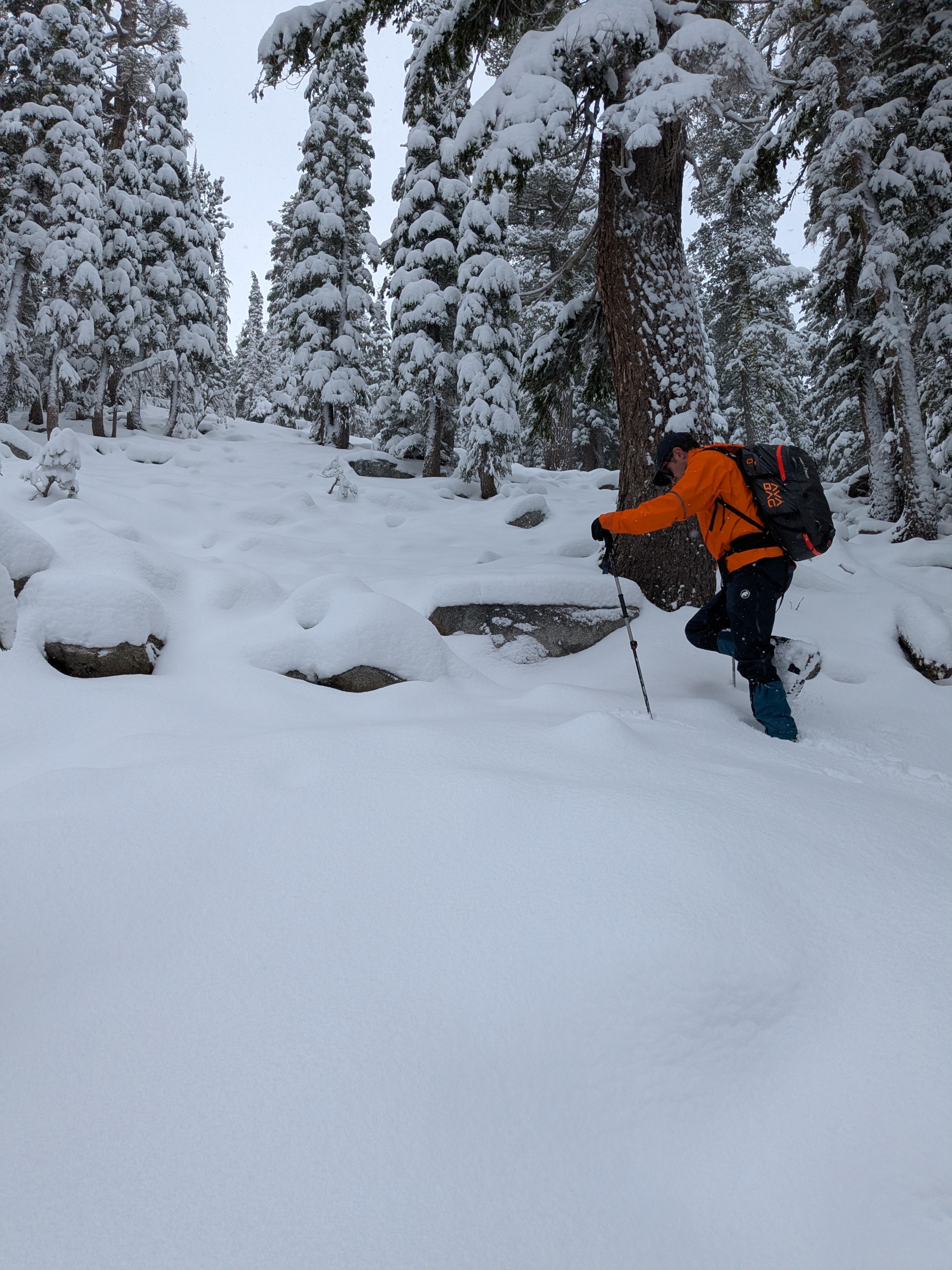
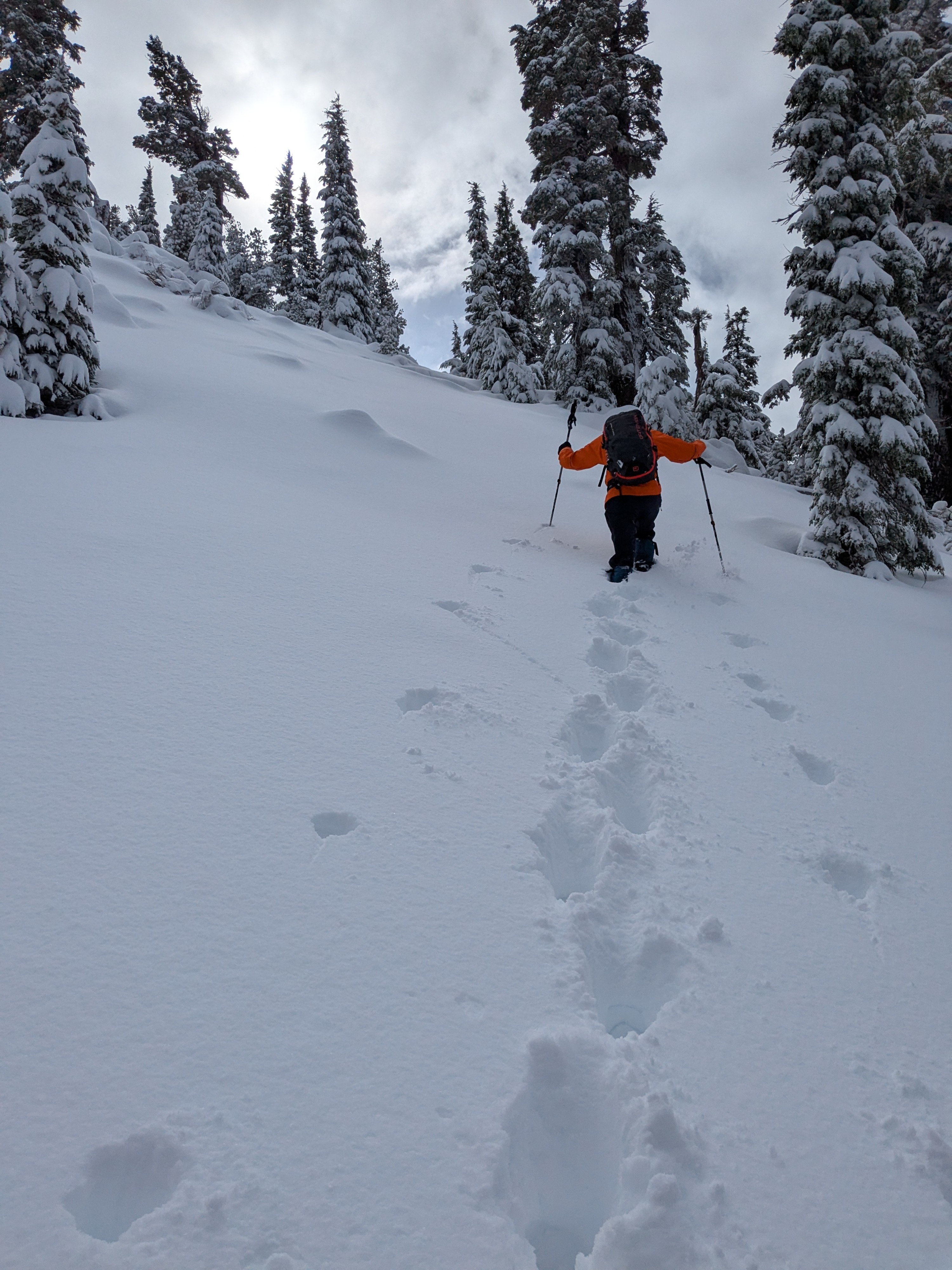
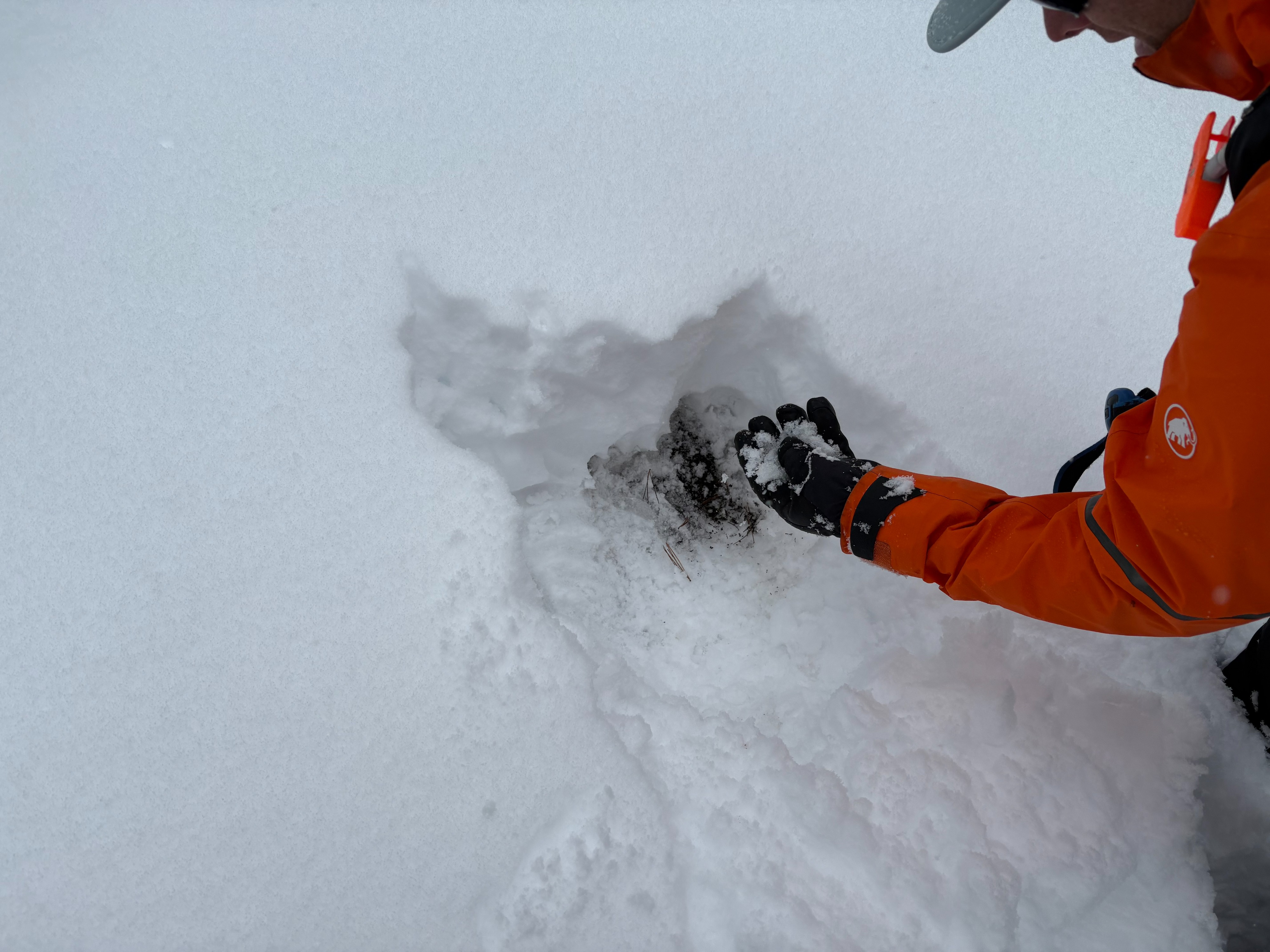
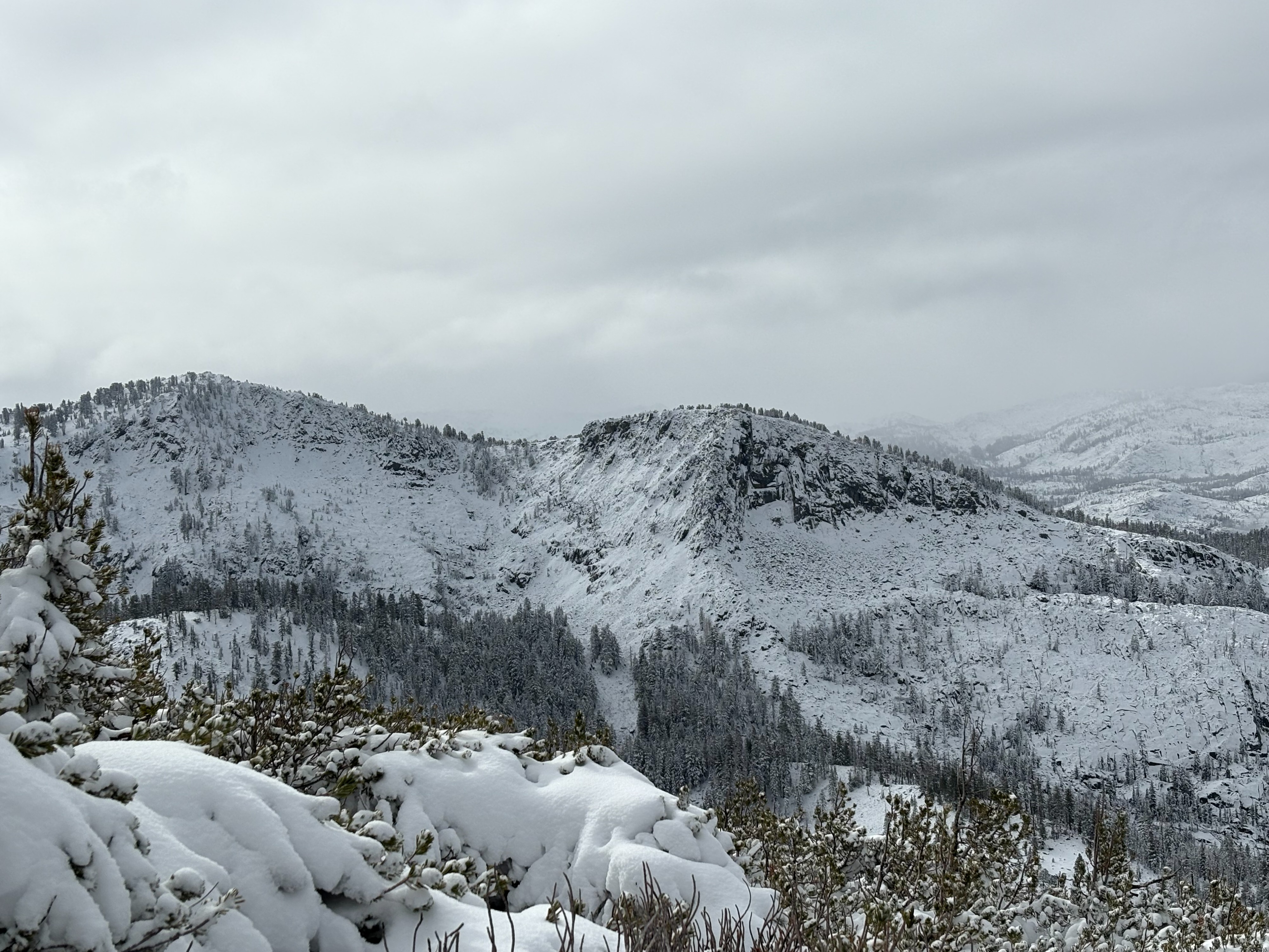
We went to Rubicon Peak today to monitor the current storm and snow accumulation at higher elevations. Snow levels were around 6500-7000' throughout the day with a light dusting at the trailhead at 6900'. Snow depths increased as we gained elevation, especially from 8000-9000' where we found 8-12'' of new storm snow. Previous older snow from the October/early November storms was observed around 8400' on north aspects under the current storm snow. This snow had been wetted from recent high elevation rain events and was gaining strength and consolidating with the slightly colder temperatures. The shallow snowpack in this area does not cover up much of the down trees or very rocky terrain.