
Quick report
- Collapsing
- specific
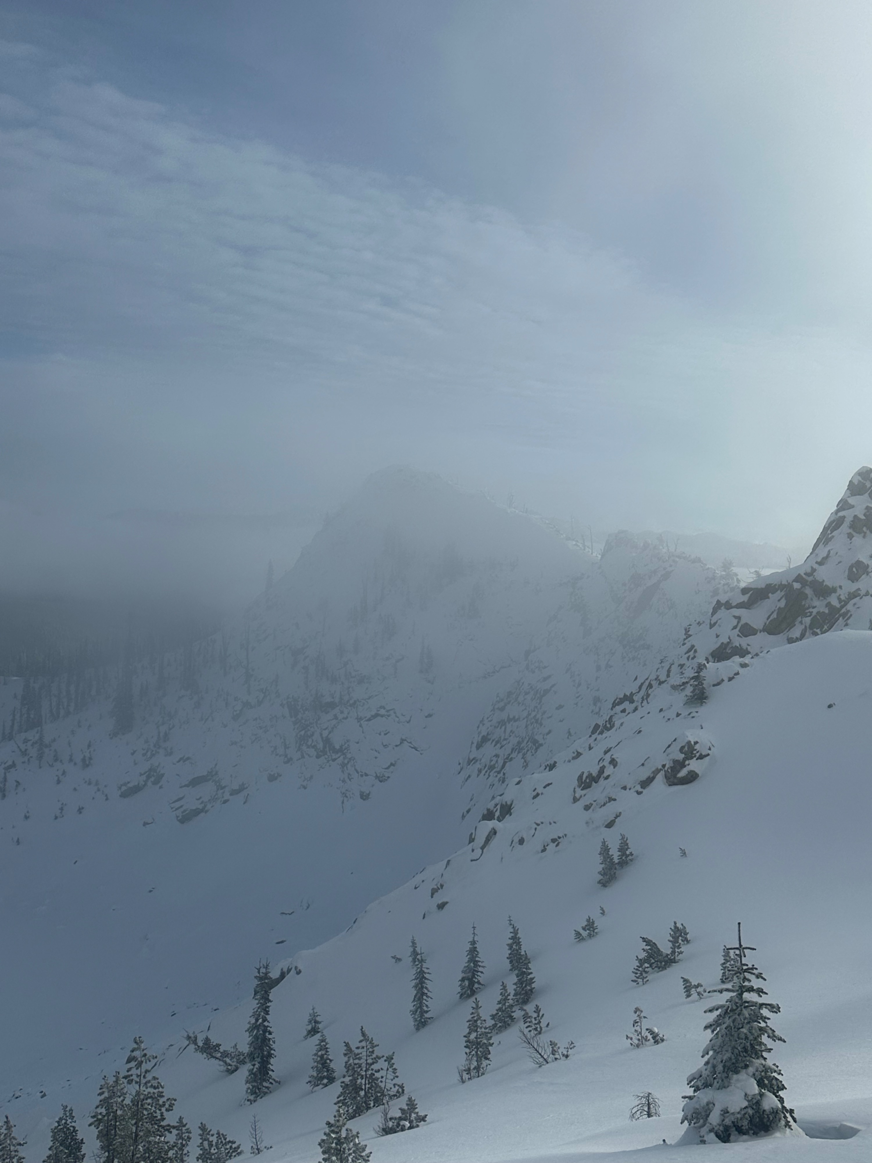
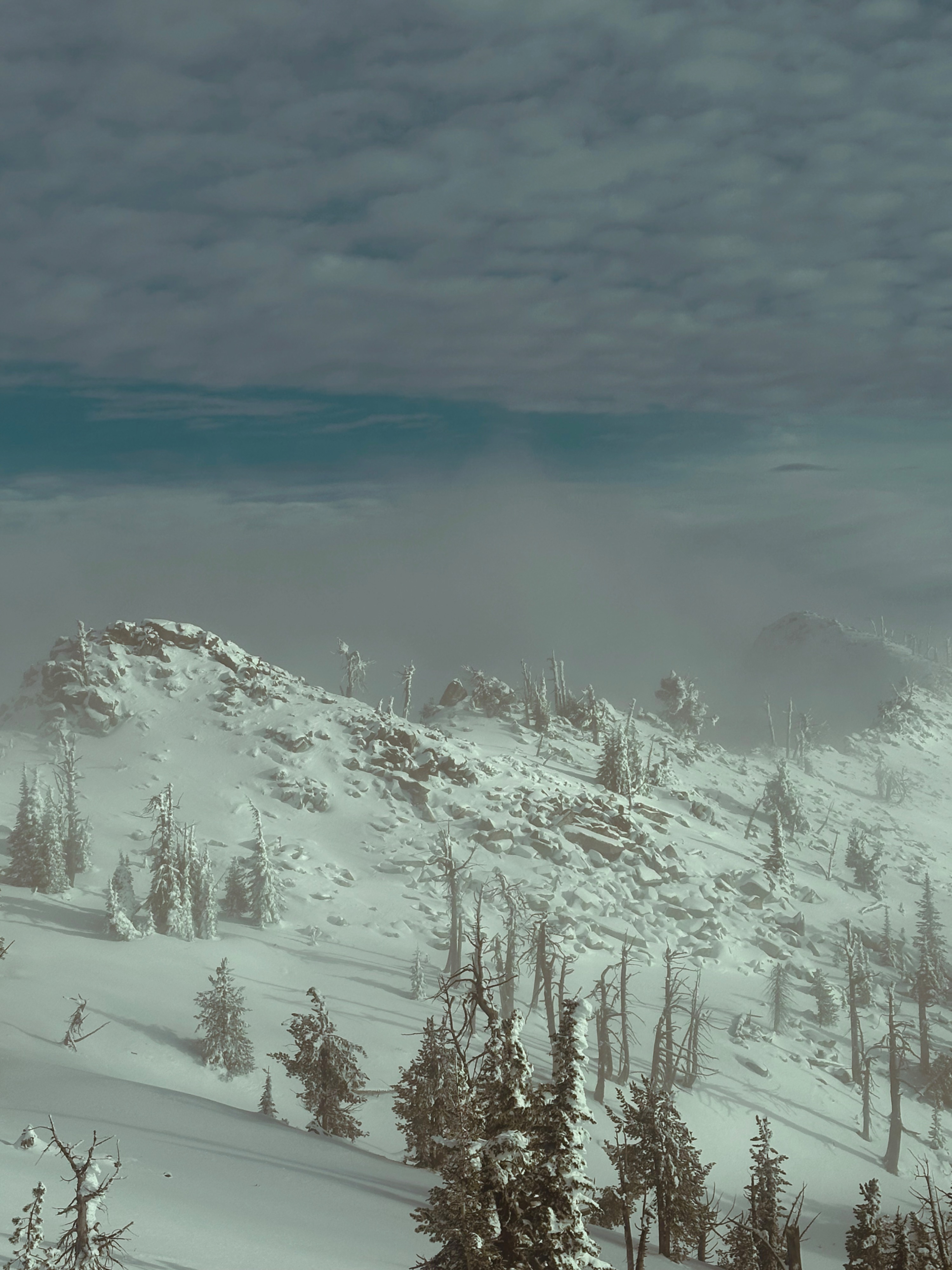
I toured up to Cornice Point from Secesh Summit. Though I wished I were riding a sled for the road portion of this walk, off-trail motorized travel is not recommended unless breaking an A-arm is on your bingo card.
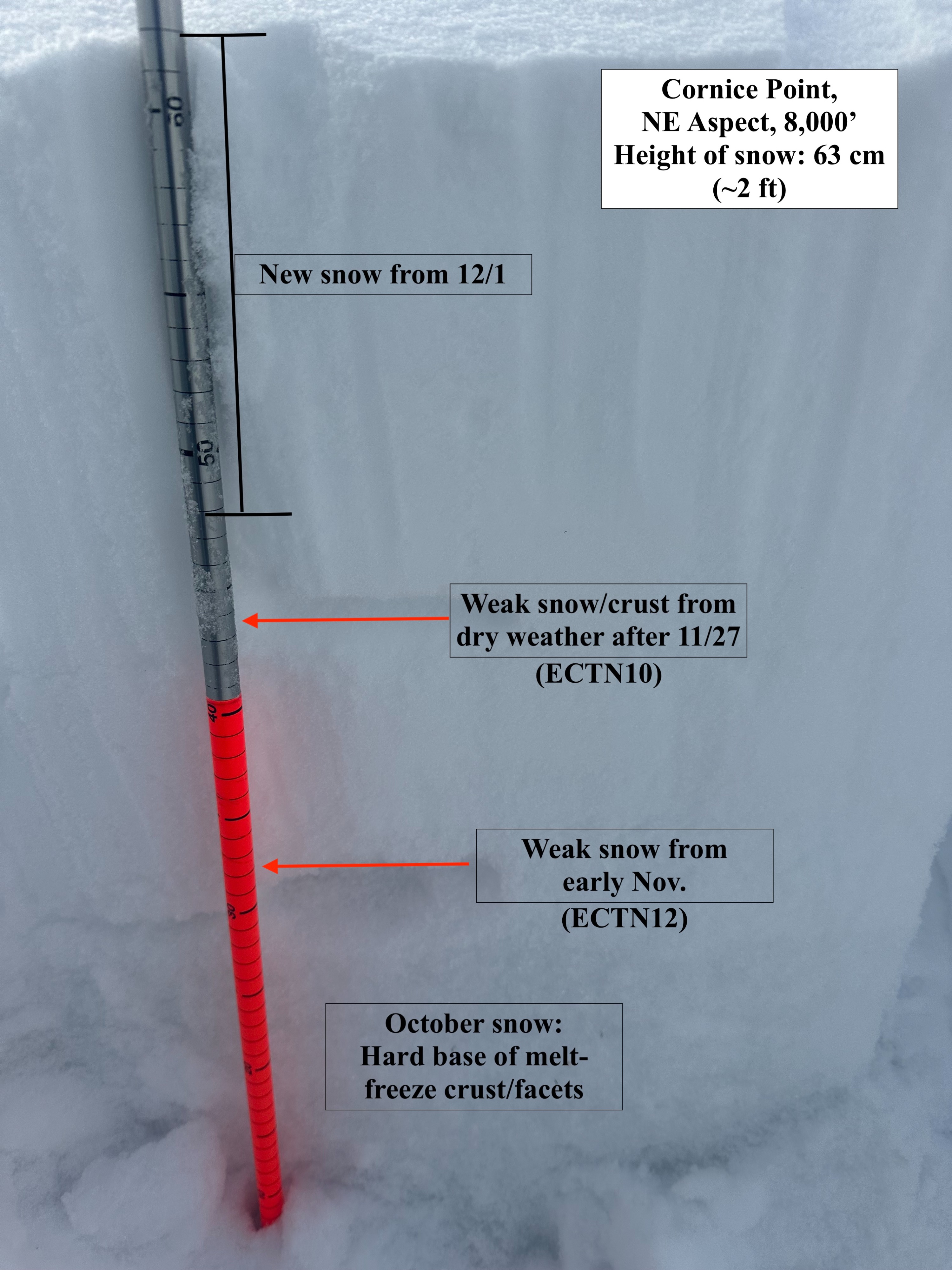
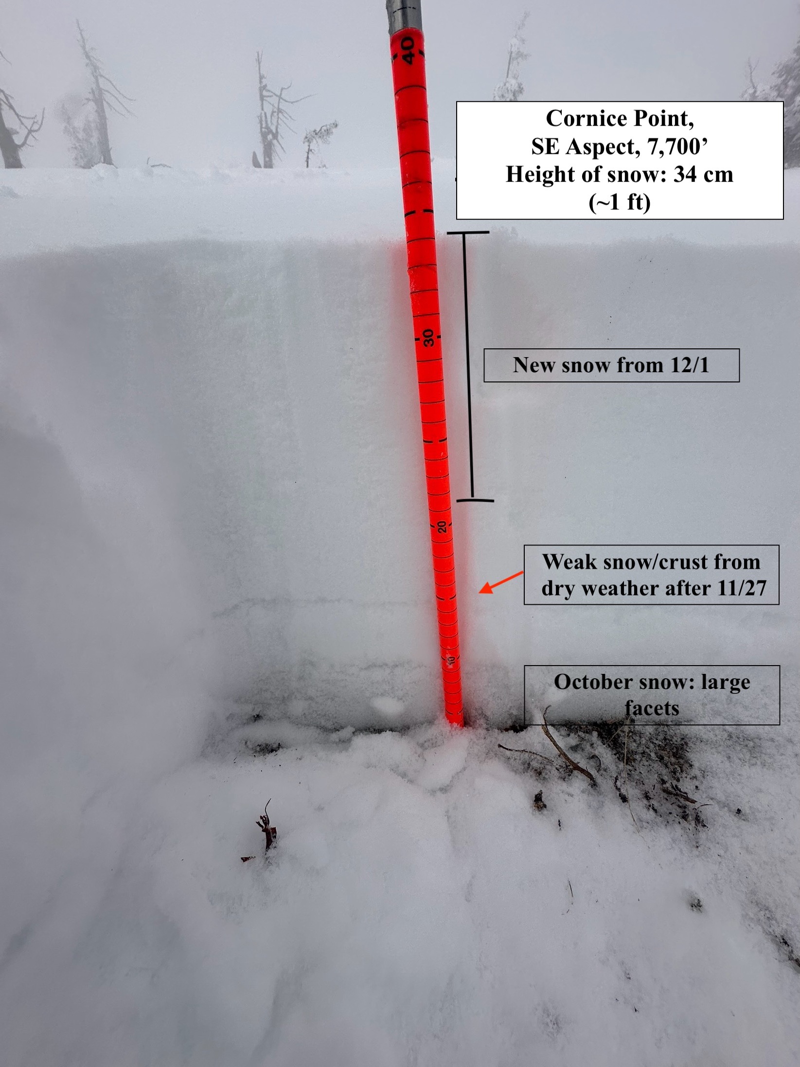
Recent snowfall on 12/1 and 12/2 ranged from 10cm to 25cm (6-10 inches) and currently accounts for about half of the total snowpack. The total height of snow from 6,300 feet to 8,200 feet averaged 1-2.5 feet deep, with the deepest areas being a) sheltered (in the trees) terrain at low-middle elevations and b)terrain on the north half of the compass (W-N-E) at mid and upper-elevations. Interestingly, the most well-developed weak snow I found was below 7,000 feet. This accounts for the fact that October snow hung out for quite some time in treed, generally flatter terrain, likely also due to temperature inversions. Steep, mid- and upper-elevation slopes across all aspects also hold old snow from late October near the base of the snowpack; however, due to warm temperatures, weak facets at the ground have thickened into hard, melt-freeze crusts, and pose less of an issue than weak snow near the middle of the snowpack (see photo below).
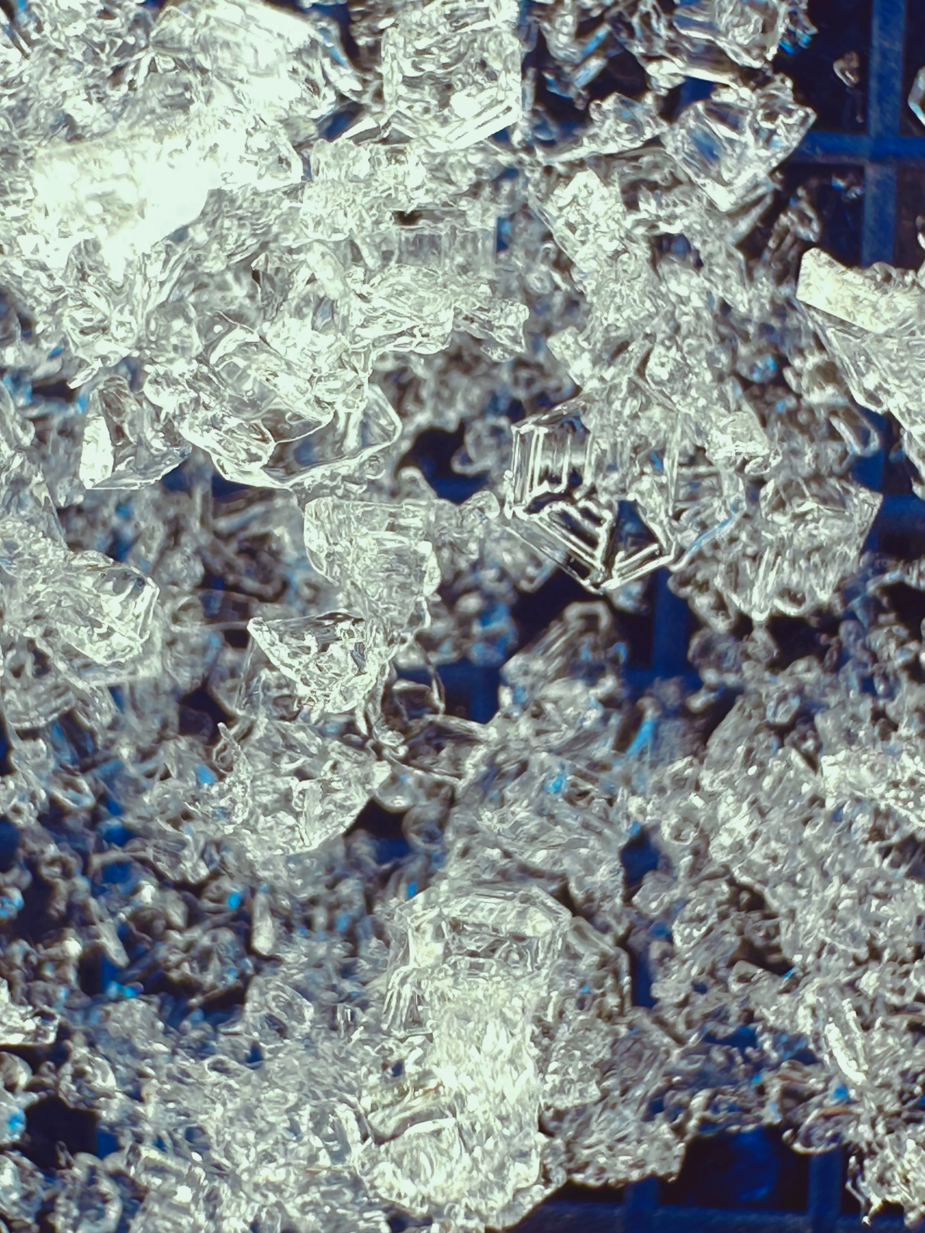
Two layers of weak snow will be apparent mid-pack in most any layered snowpack you encounter above 6,500 feet, and are located about 8-12 inches below the snow surface. Each was formed during repeat days of dry weather with clear skies in November, and is composed of near-surface facets and surface hoar. The most prominent of these layers was buried 12/1. These layers do not have enough of a slab in most locations (meaning, enough snow on top of them) to hold the capacity to support propagation; however, wind-loaded areas where surface snow has been transported and compacted will hold potential for triggering an avalanche currently, and moving forward into an active weather pattern.
The takeaway should be that these layers are primed for instability and are just waiting for the right ammo. Similarly, in this portion of the zone, sheltered middle- and lower-elevation slopes (steep creek drainages, rollovers, terrain traps) might be surprisingly sensitive because they harbor thick layers of facets at the ground (mentioned above). Don't let those few steep slopes amidst lots of flat terrain/creeks catch you off guard.
Collapsing was isolated to terrain below 7,000 feet, where drier, weaker snow is well connected, well developed, and dry at the base of the snowpack.Weather
- Air Temp
- 27
- Cloud Cover
- scattered
- Wind Loading
- previous
- Recent Snowfall
- 10
- Snow Avail For Transport
- small smounts