
Quick report
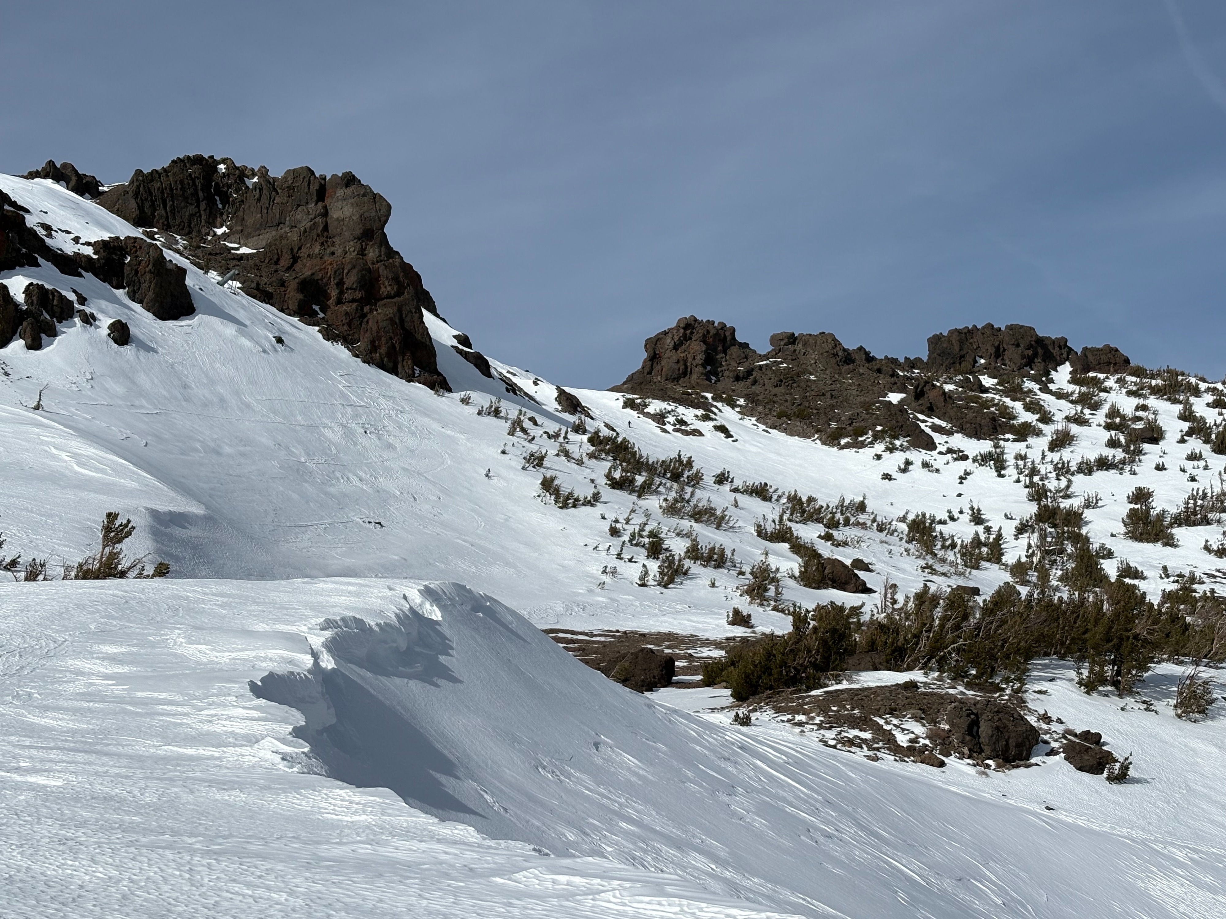
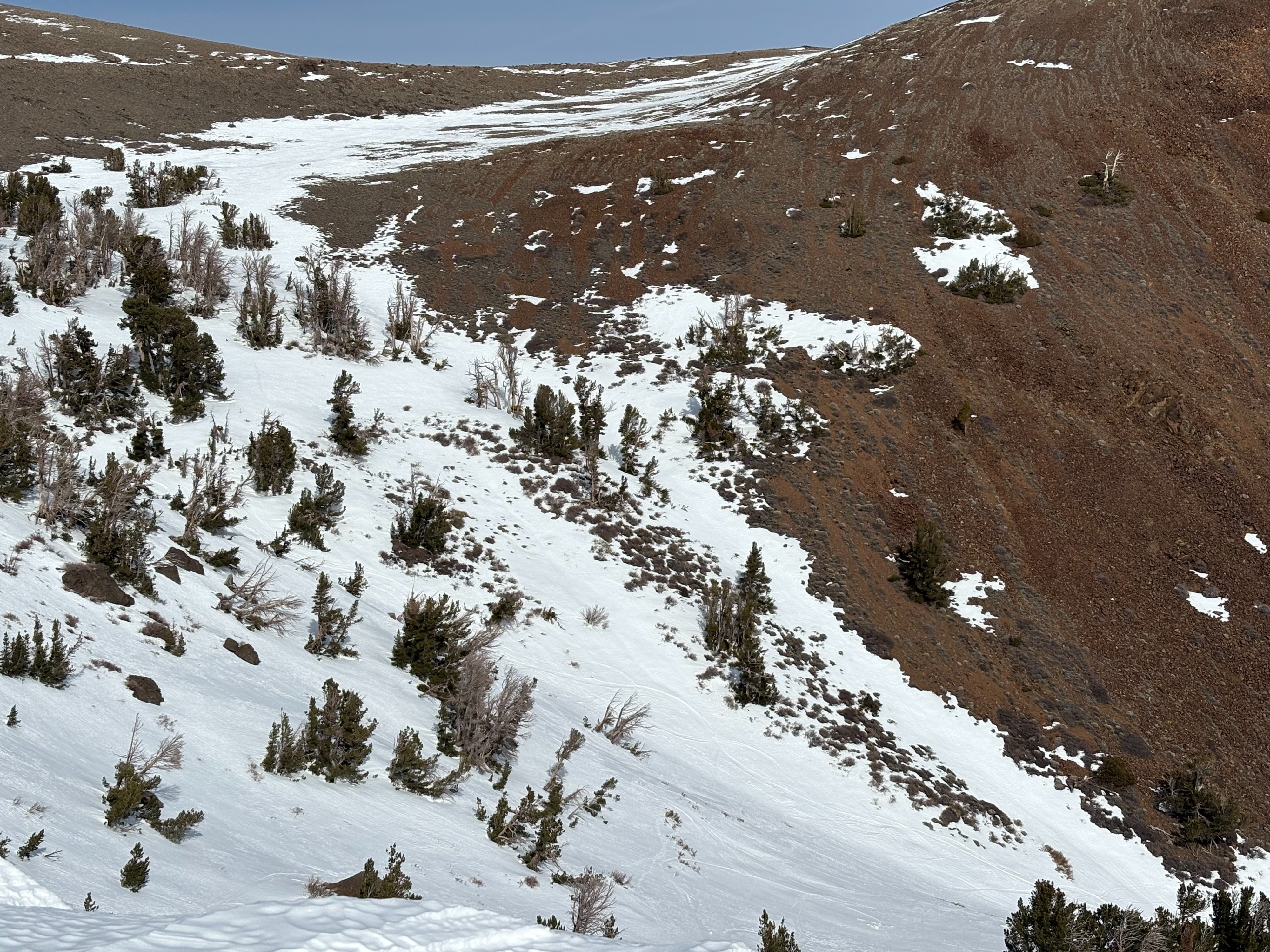
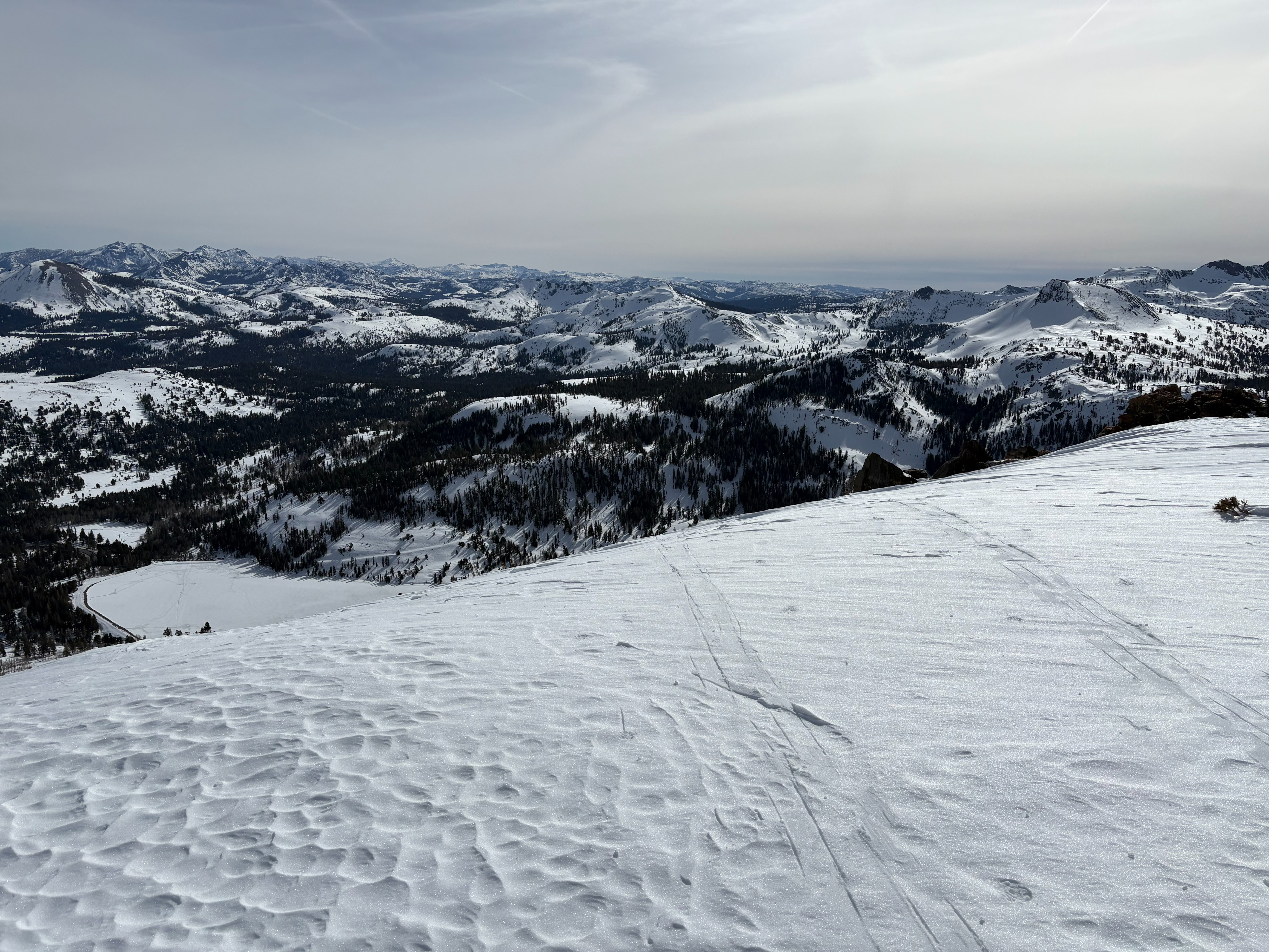
We went to Red Lake Peak to look for soft spring snow today. Finding good spring snow in January requires everything to come together with the low sun angles and still relatively short days. There was a very good overnight refreeze of the snowpack, we just needed the snow surface to soften. Unfortunately, thin high cloud cover came in earlier than expected and temperatures and light winds were still just on the cool side which prevented most areas from fully softening. We were glad we had ski crampons to help us ascend the firm steep slopes in the morning.
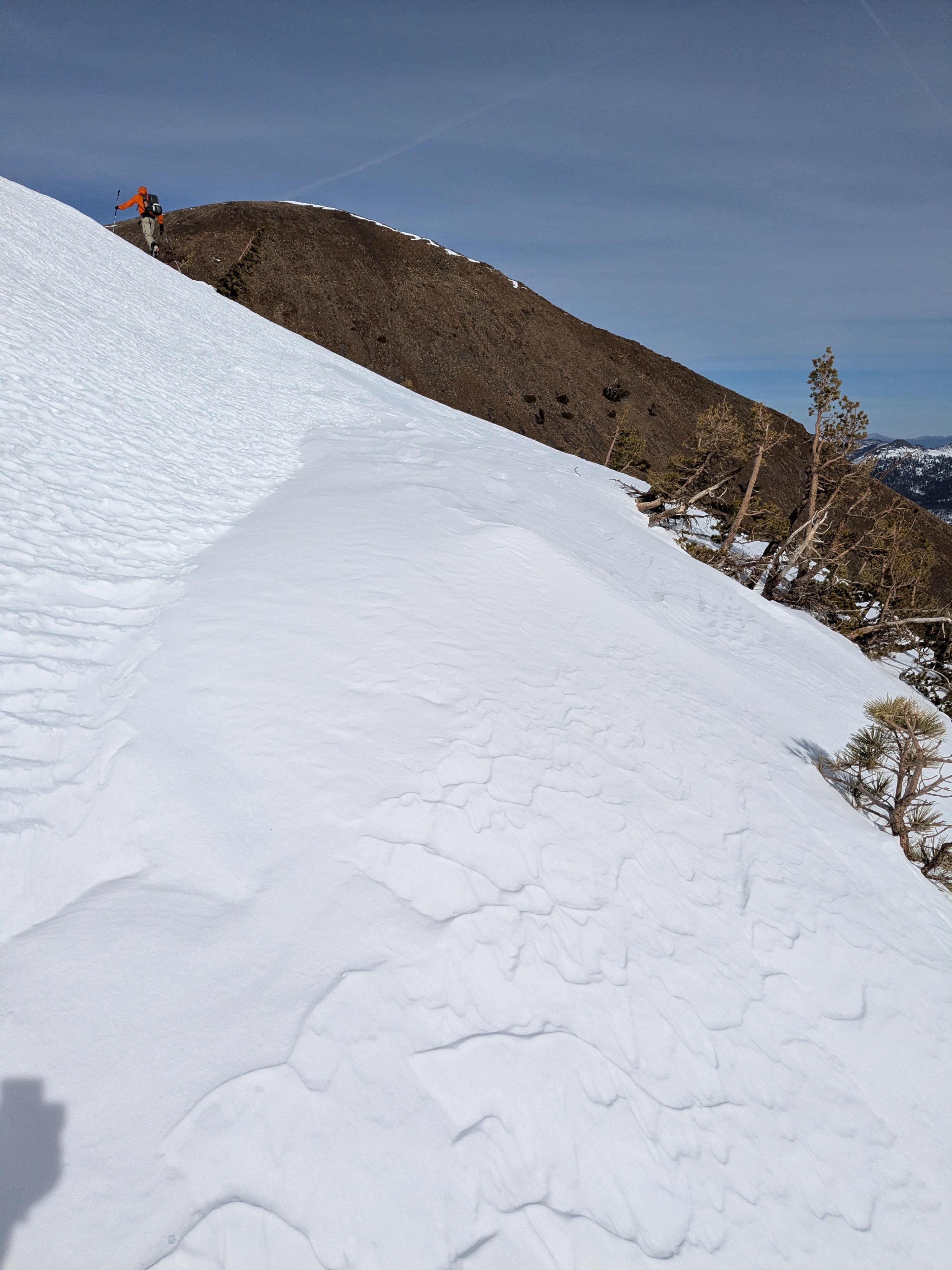
We did see some areas where small amounts of wind blown snow was deposited from the gale force East wind event yesterday. Usable snow on southerly aspects is becoming harder to find in the southern part of the forecast region.
Weather
- Air Temp
- Above freezing
- Cloud Cover
- broken
- Wind Loading
- light
- Recent Snowfall
- 0
- Snow Avail For Transport
- none
Below freezing overnight temperatures. Thin high cloud cover began earlier than expected and increased into the midday. Winds were light.