
Quick report
- Cracking
- specific
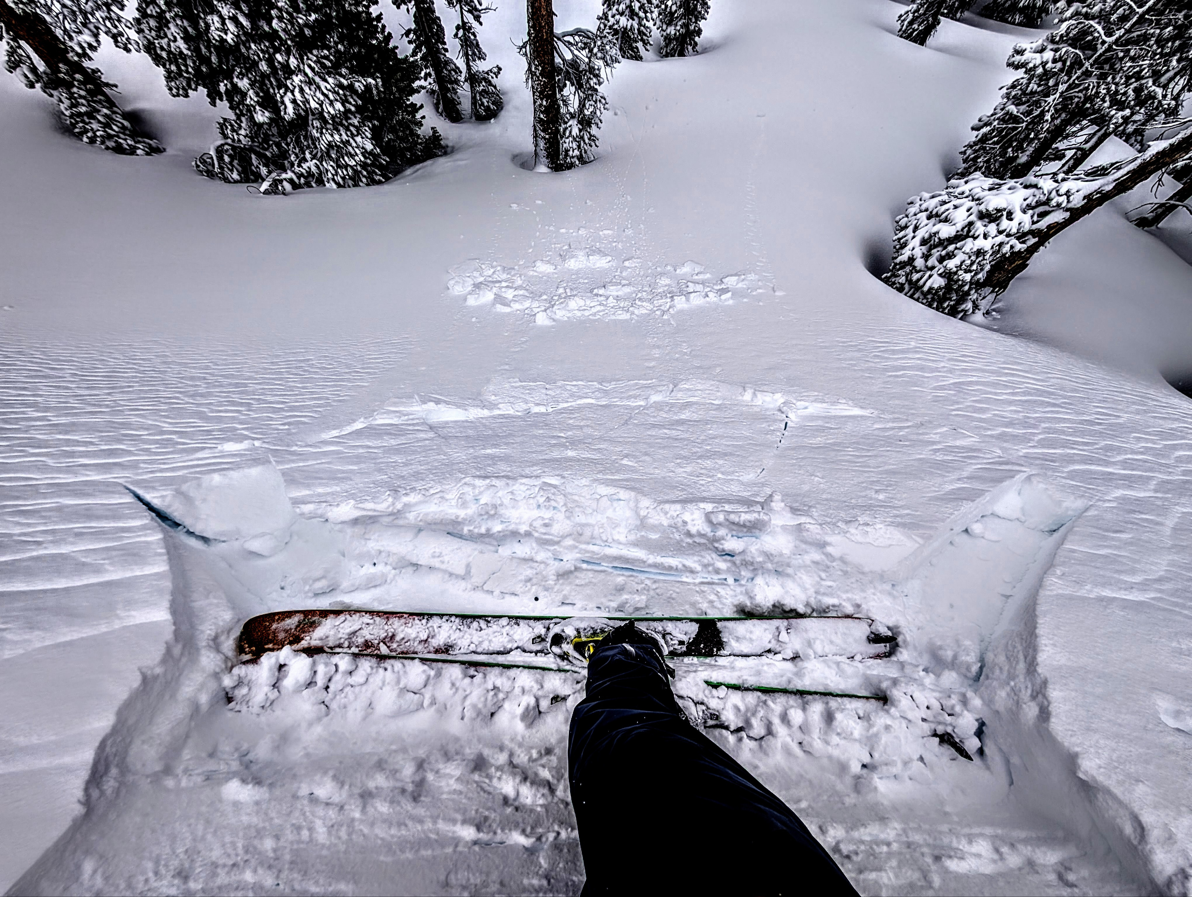
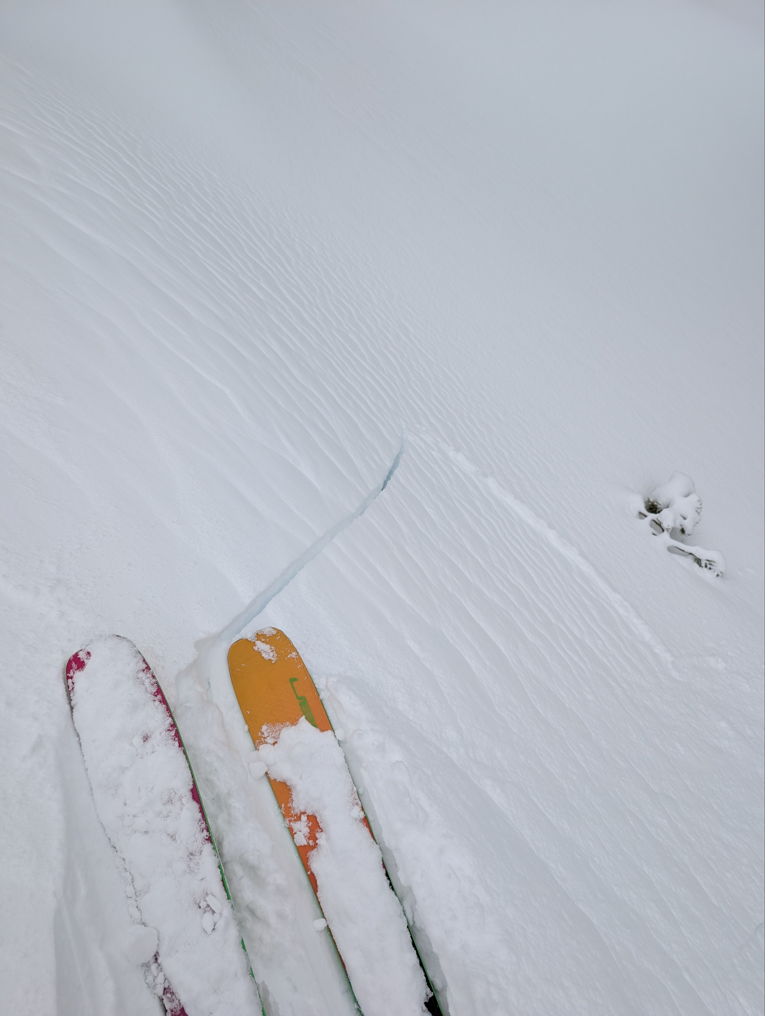
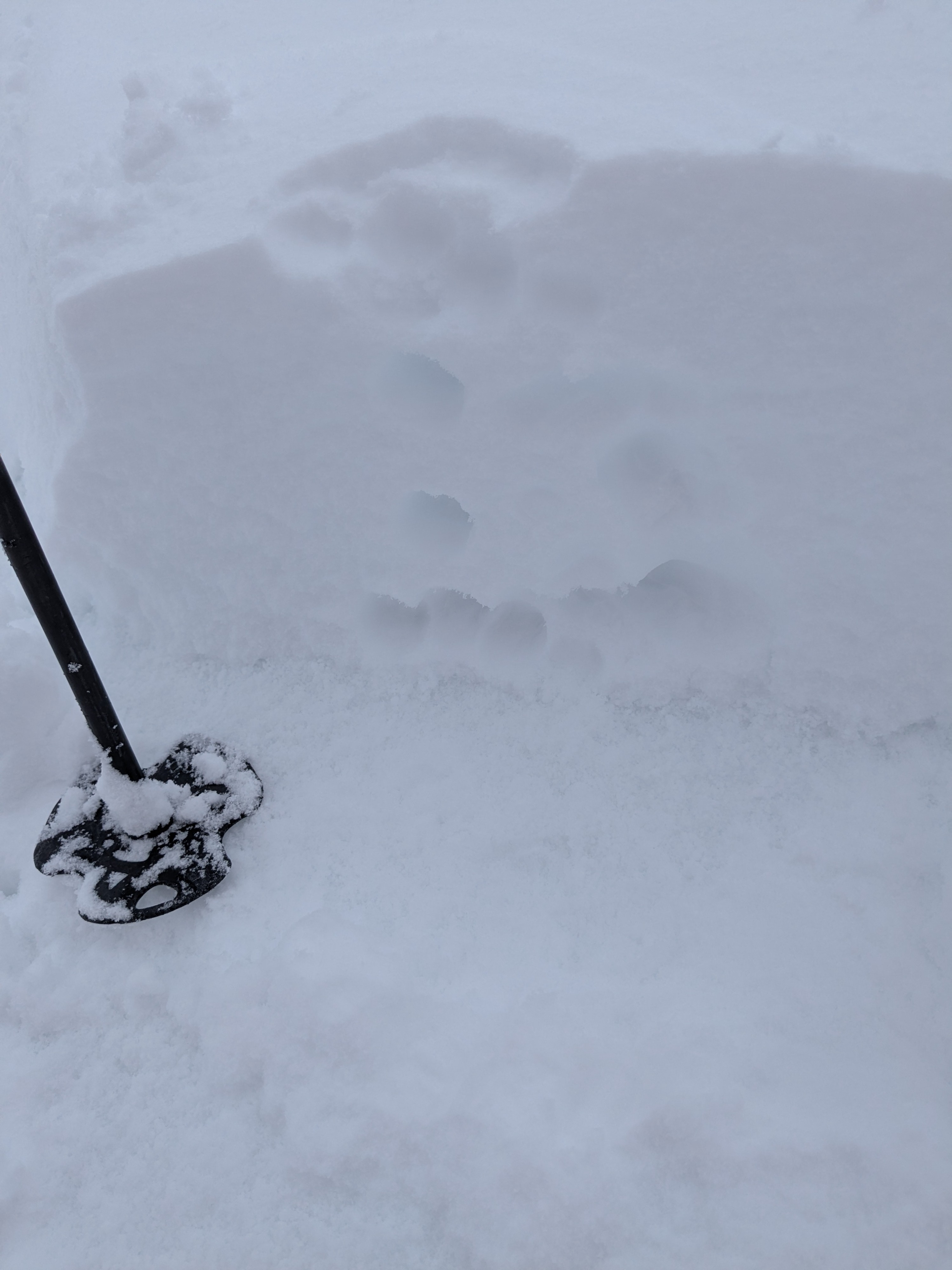
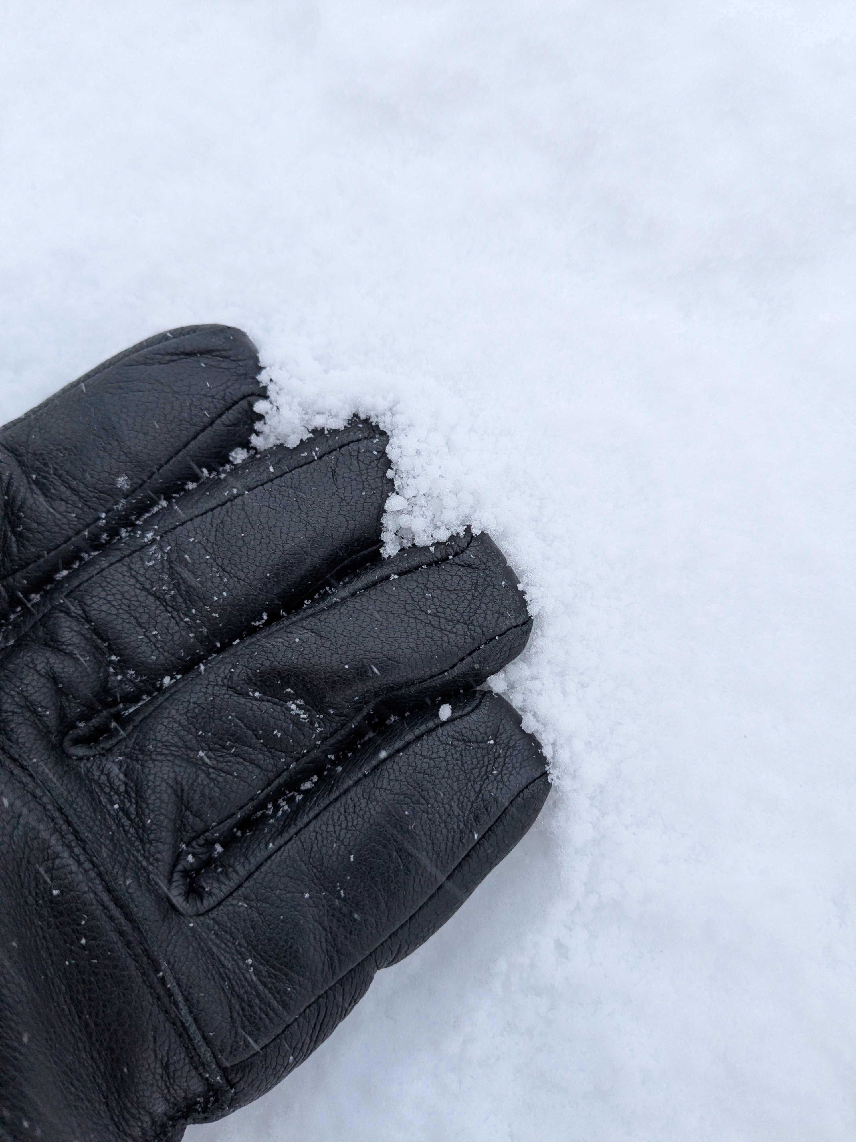
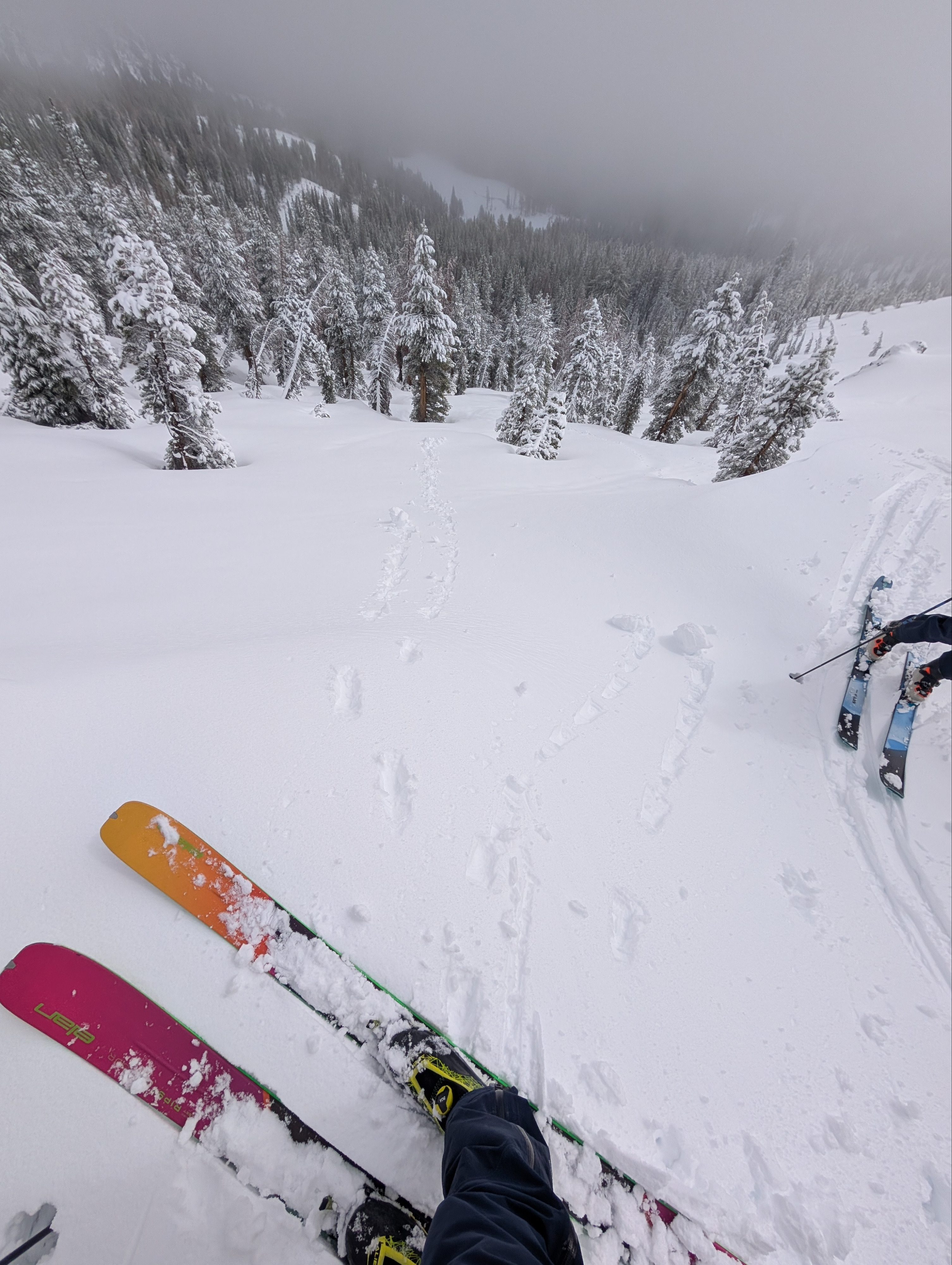
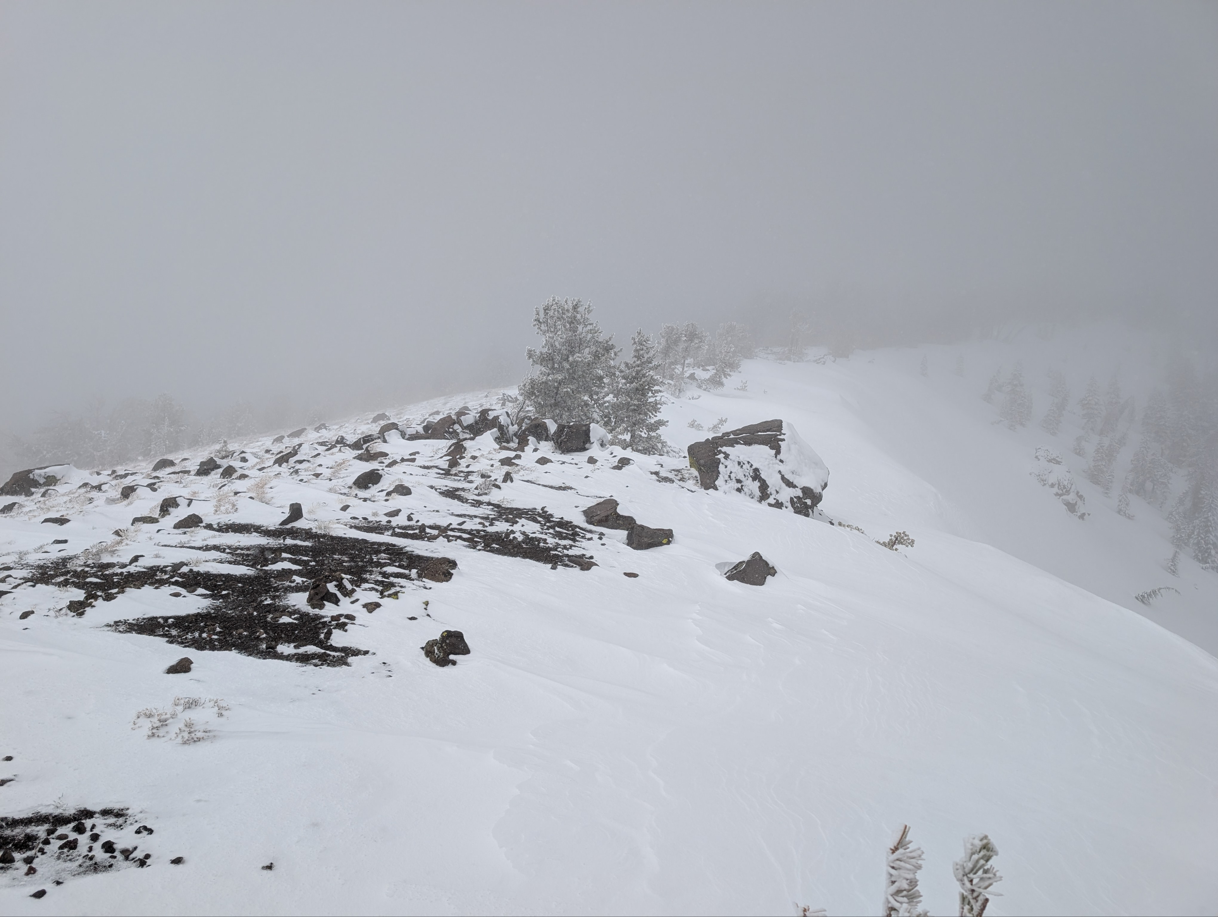
New snow amounts ranged from 6 to 8 inches in the Tamarack Peak area today. This dense new snow accumulated on a widespread graupel layer atop the old, still-wet snow surfaces. In most places, the graupel layer also felt moist at the base of the new snow. The new snow was supportable and dense. In sheltered areas, ski cuts, hand pits, and general observations indicated some bonding, and we did not see many signs of instability. When we moved into higher terrain along the ridges with more wind-loading, we started to see more signs of instability. In these areas, multiple hard ski kicks triggered shooting cracks and small test-slope failures as the graupel layer beneath the new wind slabs broke. As more snow accumulates, these could become more widespread and larger.
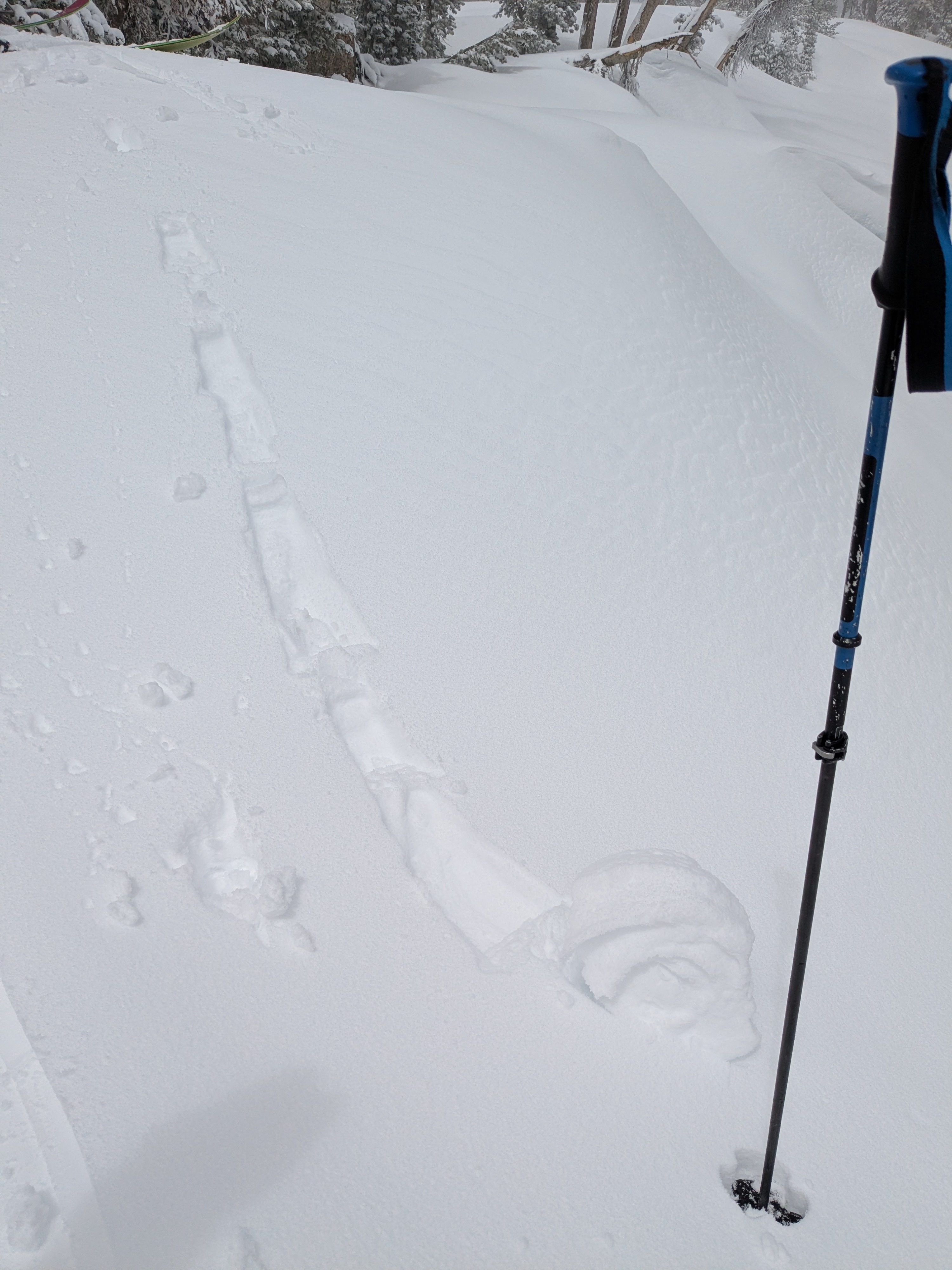
Brief moments of sunshine also produced signs of unstable snow. When the sun peeked out from behind clouds for just an instant, we could feel it immediately. This strong April sun also changed the snow surface almost instantly, and we could easily trigger 8- to 24-inch diameter pinwheels and some roller balls on slopes that had just a bit of sun.
Multiple hard ski kicks triggered shooting cracks on some of the most heavily wind-loaded test slopes. These failed on a graupel layer at the base of the new snow. In sheltered areas and areas with less wind loading, we did not trigger shooting cracks.Weather
- Air Temp
- 28 F
- Cloud Cover
- overcast
- Wind Loading
- moderate
- Rain Elevation
- 7200 ft
- Recent Snowfall
- 15-20 cm
- Snow Avail For Transport
- moderate amounts
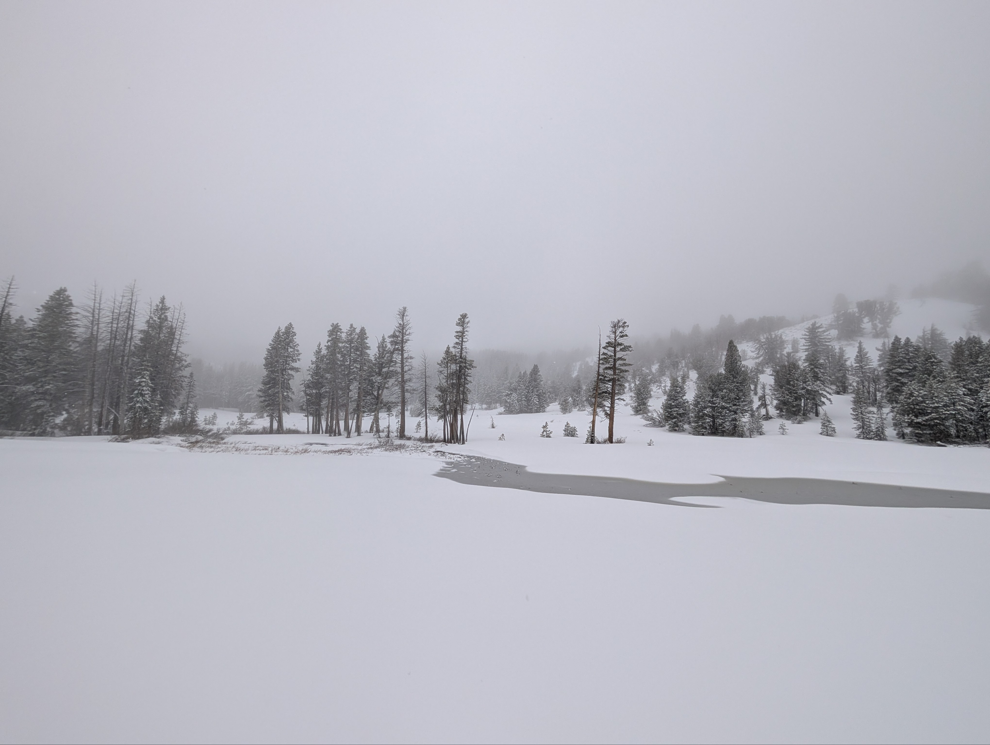
Rain on the drive over changed to intermittent snow showers above about 7200 ft. Snow showers continued until our departure, with little additional accumulation.