
Quick report
- Cracking
- isolated
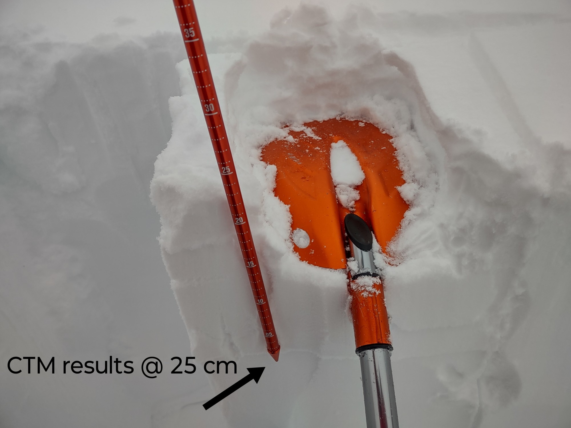
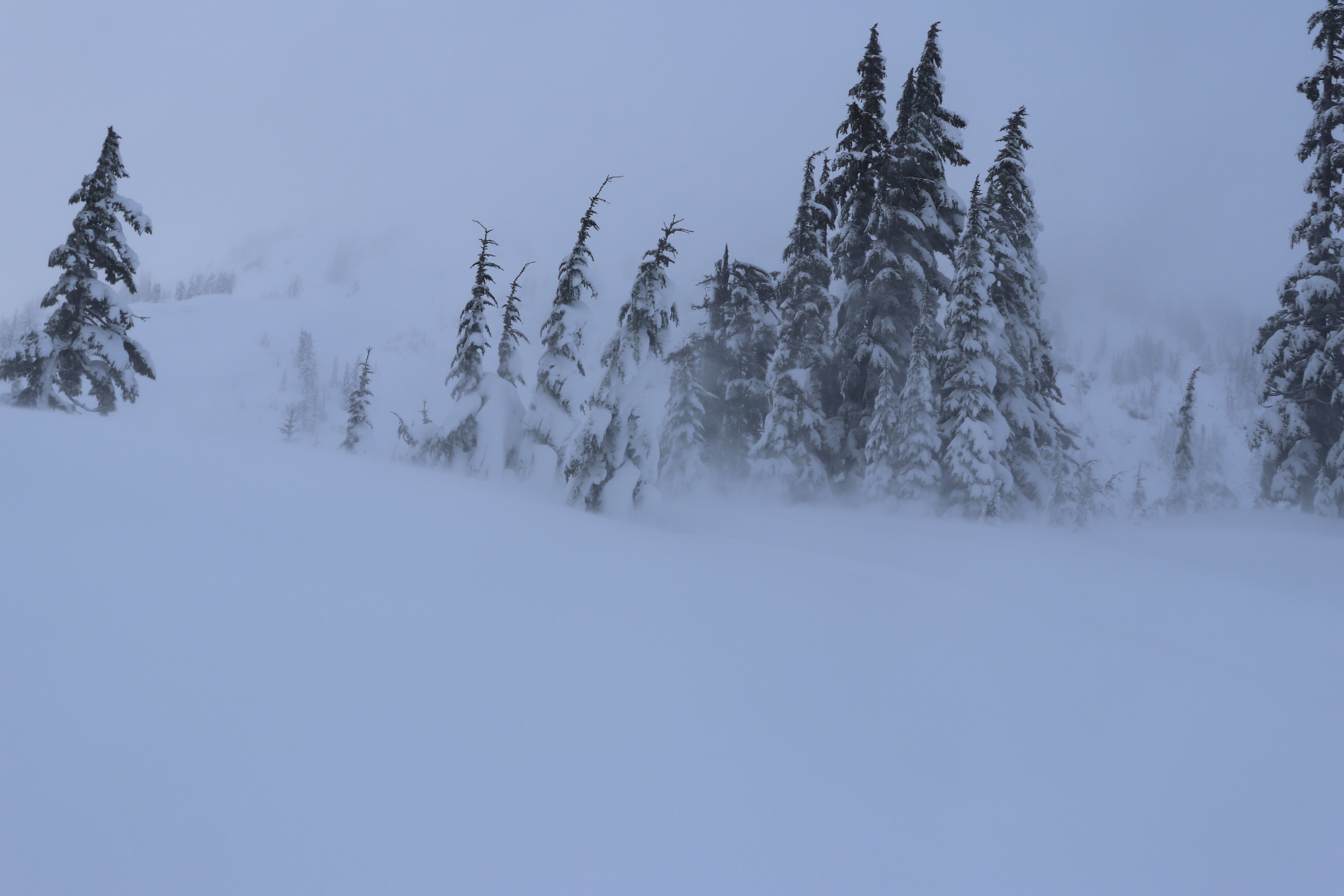
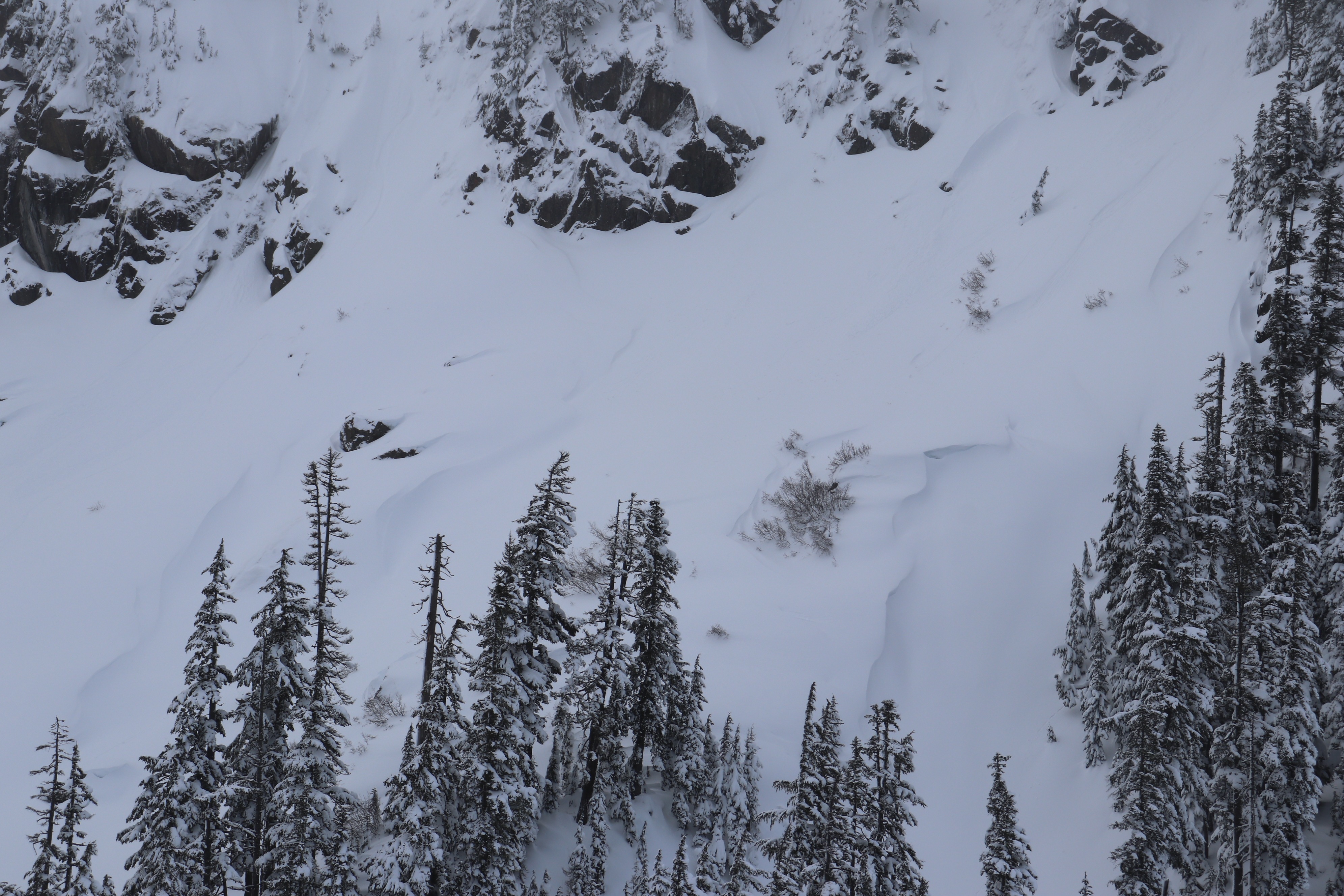
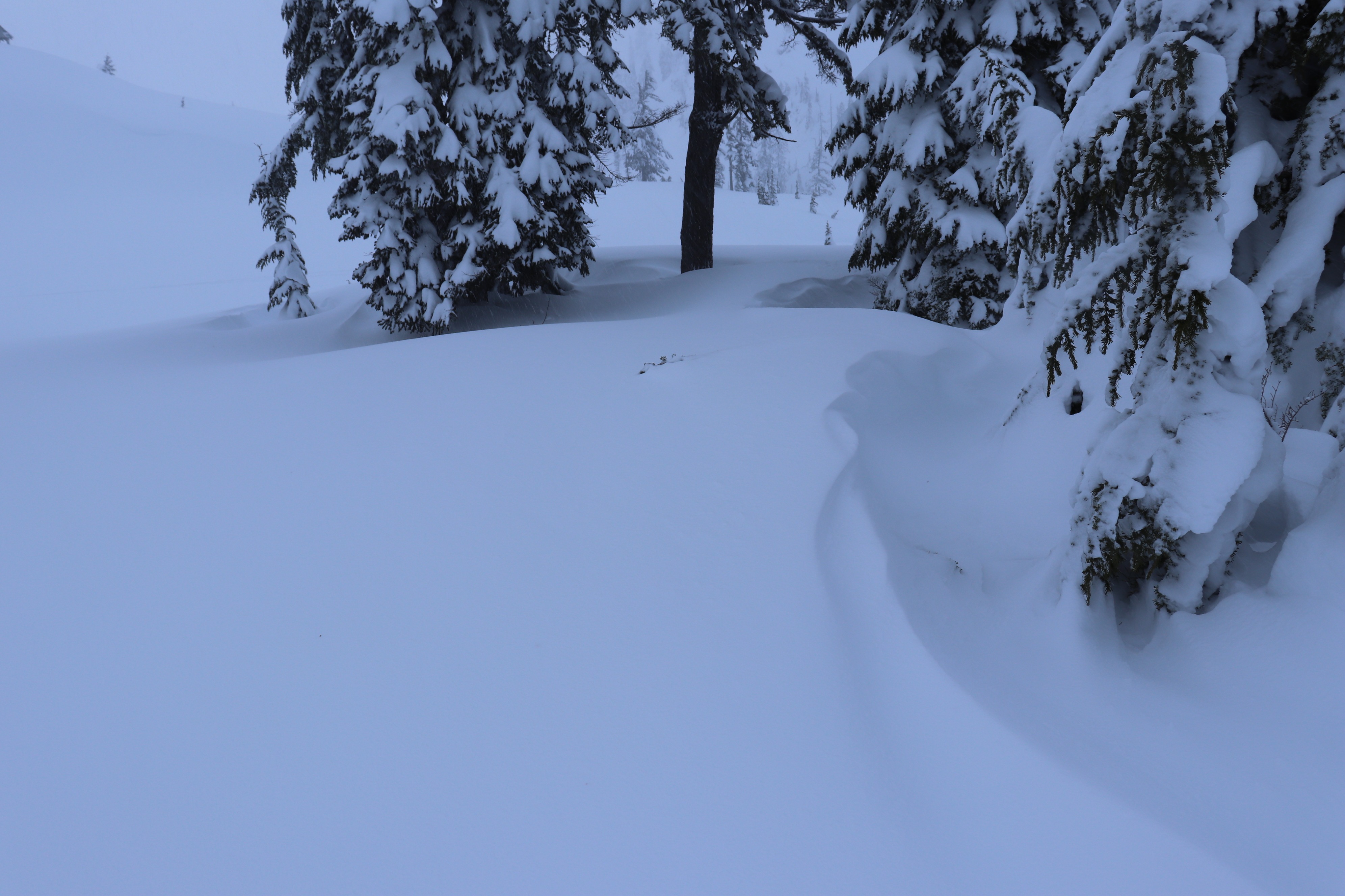
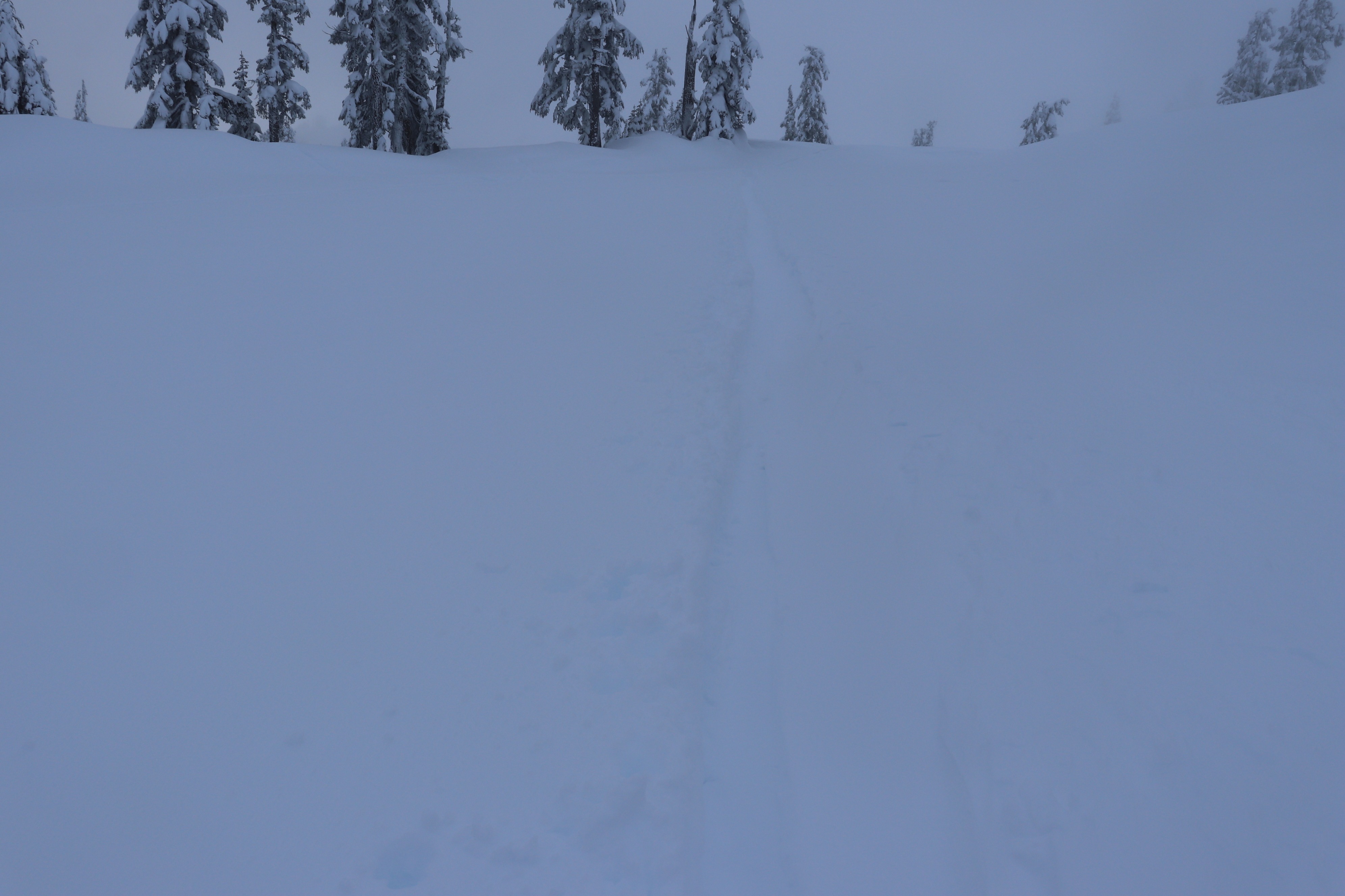
We observed active wind transport. Small slab formation was detected, however many seemed stiff, or had not gotten large enough in this area to be reactive. We also had moderate test results on a storm interface down 20-30 cm; however the snow seemed very stable outside maybe wind loaded terrain. There was some subtle low elevation warming on the highway but no wet loose was noted on our tour. On the drive home trees were bombing and water was dripping off below 3000 feet. Visibility was too poor most of the time, no avalanches were observed or seen triggered. Many were out enjoying the snow today, heard some having a blast descending Herman east gully. Overall quality of snow was still excellent, deep and very enjoyable. It's deep, of trail penetration was to the knees!. Overall impression of the snowpack is it was relatively stable, unless you may have been in recently wind loaded terrain. Small wind slab triggered on a test slope, however most new drifts were quite stiff.
Weather
- Air Temp
- 30
- Cloud Cover
- obscured
- Wind Loading
- light
- Rain Elevation
- 1900
- Recent Snowfall
- 5
- Snow Avail For Transport
- large amounts
We had some cloud breaks on the drive up 542, but approaching the trailhead we encountered light snowfall S-1 which continued through a better part of the morning. Snow eventually transitioned into a sleet/drizzle snow mixture around noon, ending. In the afternoon the sky remained mostly obscured; however the border peaks made a peekaboo appearance. Other than that, visibility was poor, at times foggy pea soup above 4500 feet in our area. West to southwest winds were blowing/gusting throughout our tour light but periods were moderate.
Snowpack
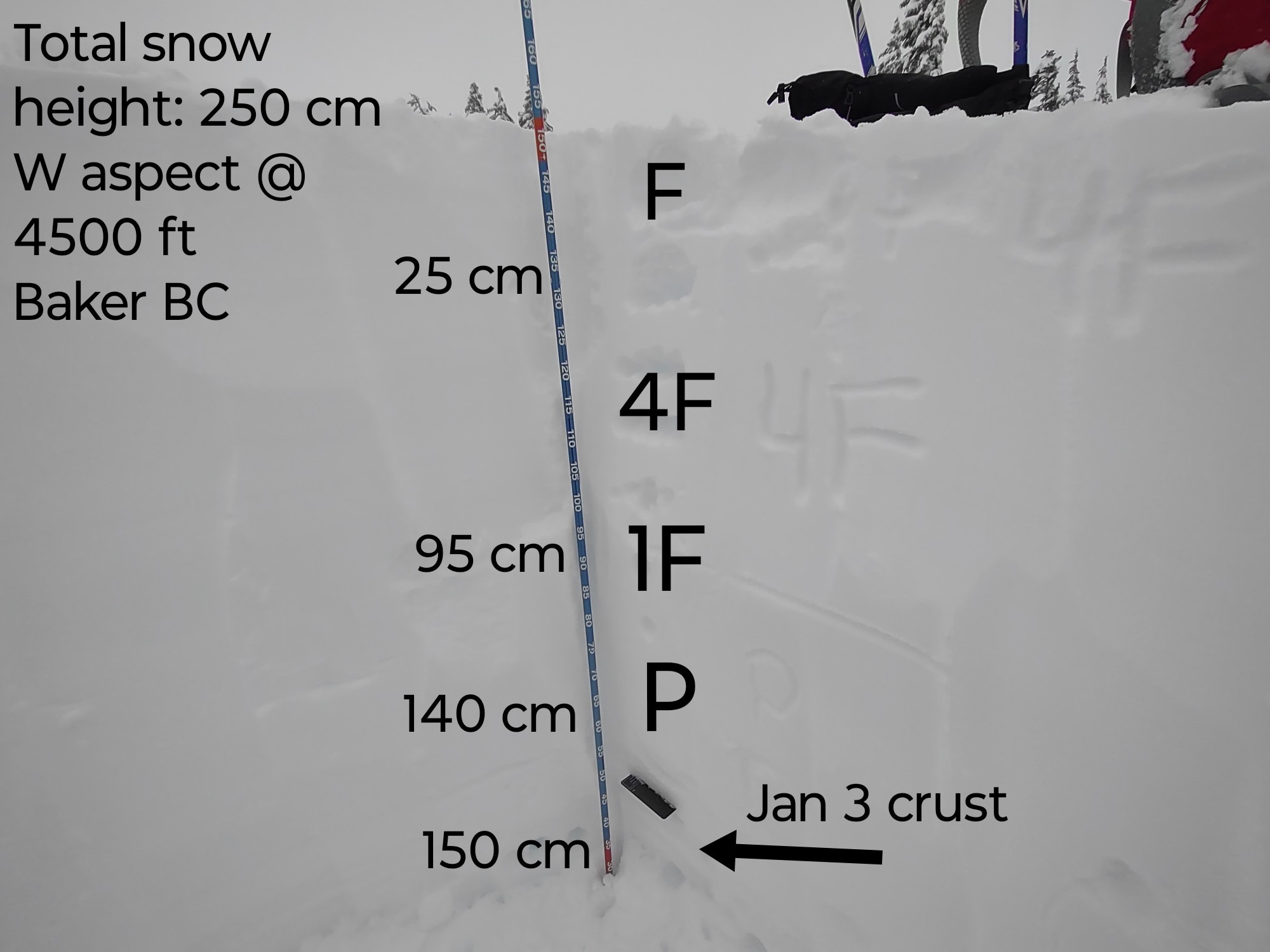
Overall snow height 250-300+ cm with 130-150 cm over the early January crust layer. Very little remaining weaknesses were found in the storm snow from this week; the most notable was resistant moderate results down 20-30 cm on storm interfaces from the past few days in had pit and profile results. Subtle increase in density of the most recent 5 cm of snow last night/this morning, but overall quality was still excellent very enjoyable.