
Quick report
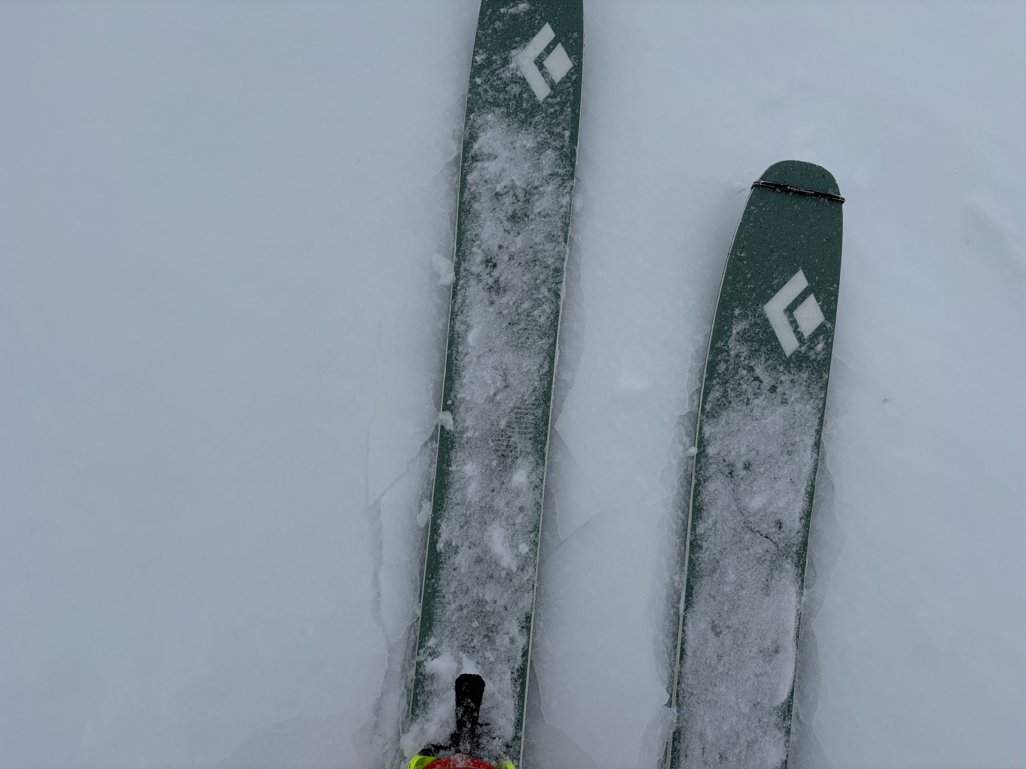
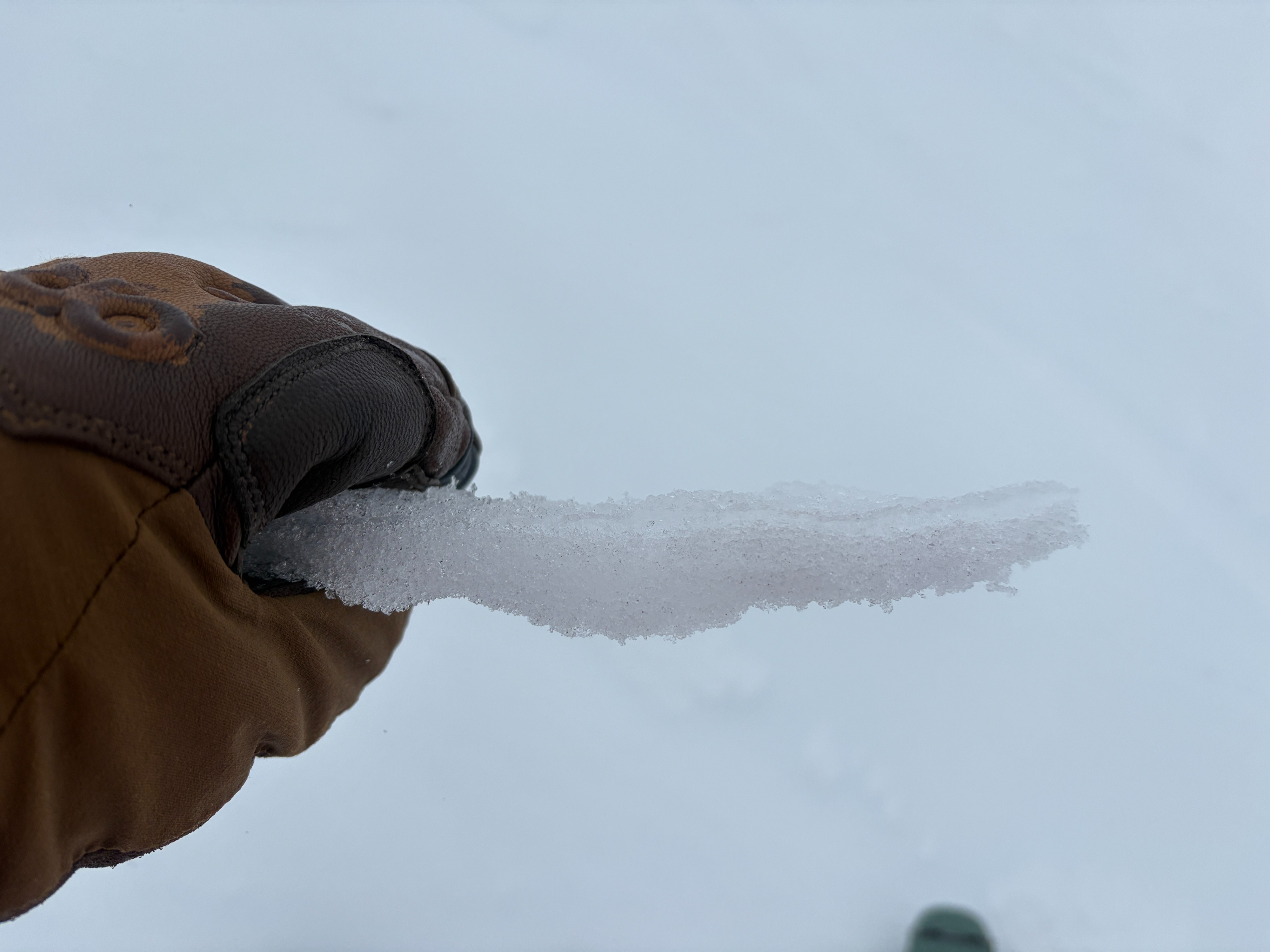
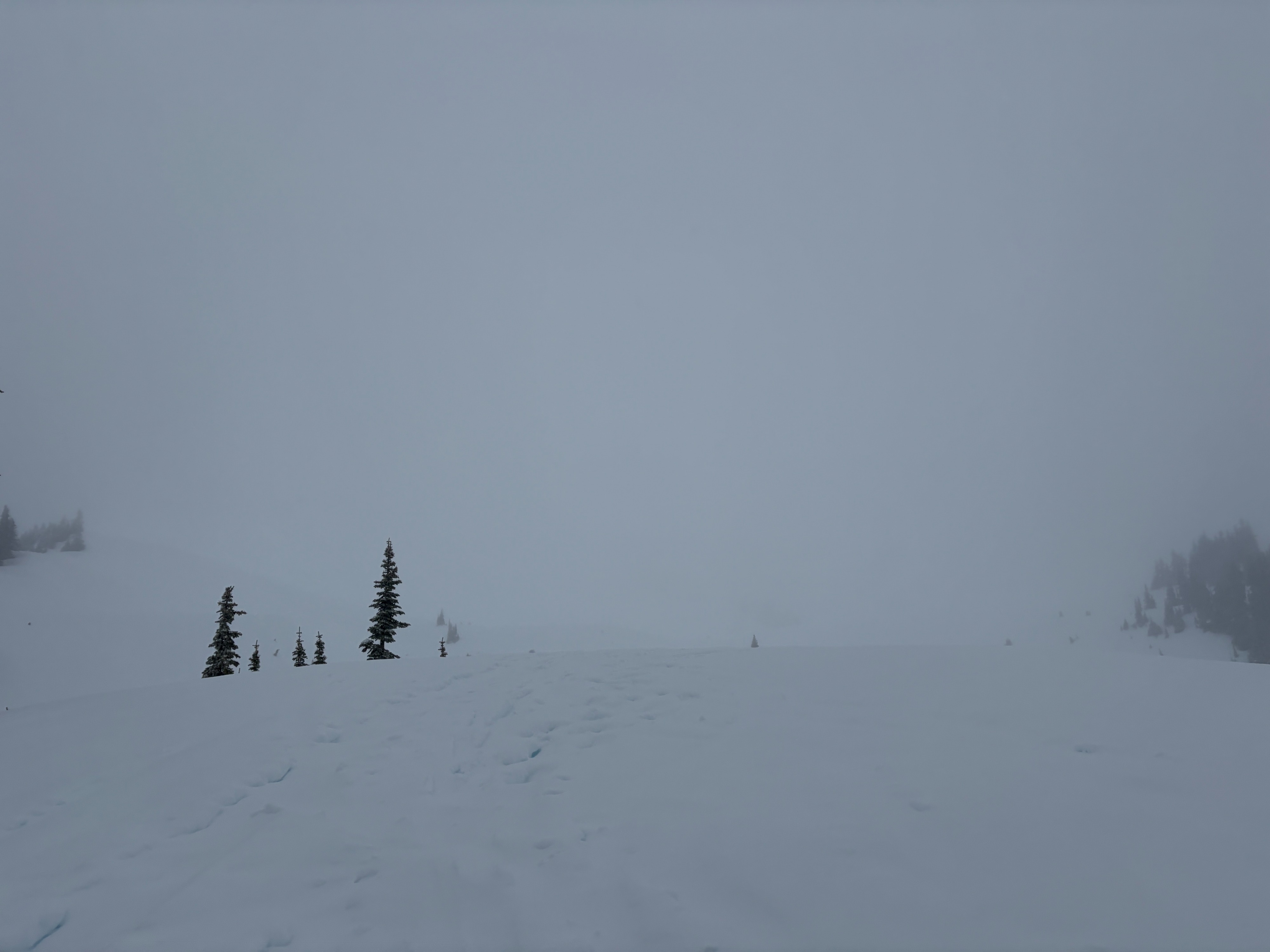
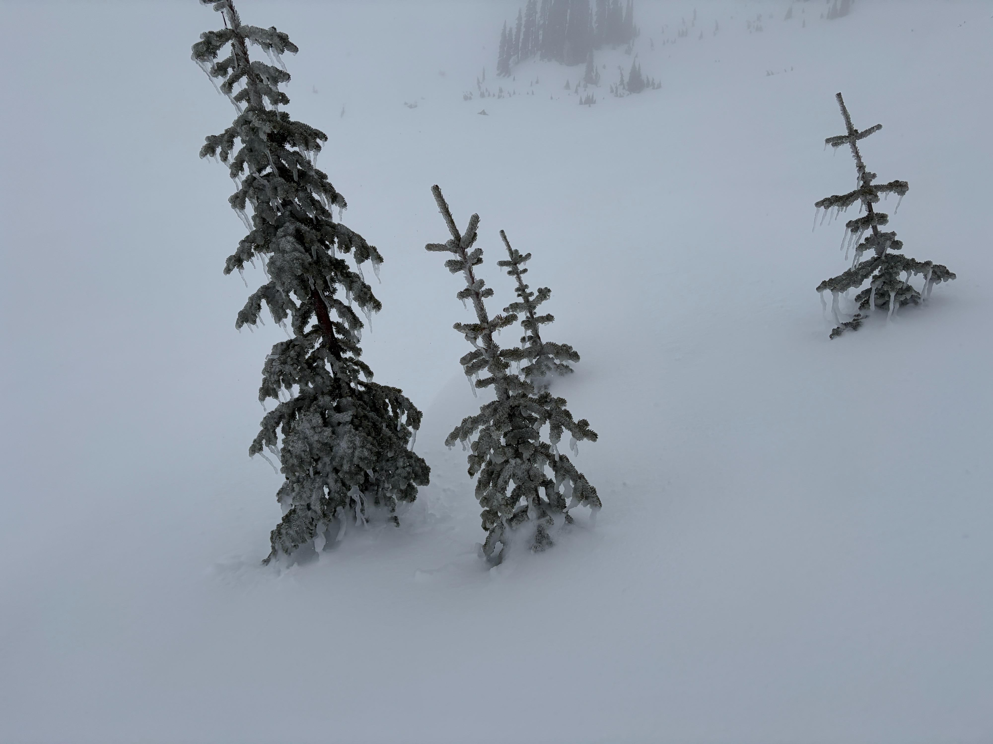
I took a trip to Paradise this morning to see how the rain is affecting the snowpack. Paradise weather station recorded over an inch of rain during the day, and I can verify, it rained a lot out there! Unfortunately, there wasn't much fresh snow to look at, maybe an inch or two from overnight. The wet, white-out conditions kept me much lower in elevation than I would have liked, sticking close to trees to provide depth perception as I traveled. A steady rain fell all day, as high as 6,000 feet, with only brief periods of snow flurries. A new crust had begun to form at the surface as temperatures cooled, and I was surprised to find it supporting my weight as I walked on my skis. However, below the surface, I found multiple feet of soft, moist-wet snow that was far from frozen. When i steeped off my skis, my boots sank 2 feet into the snow.
Overall, the snowpack has picked up a lot of water, penetrating deep into the snowpack and reaching the 2/13 and 2/7 interfaces. With cold temperatures, the upper snowpack may have a chance to firm up and turn supportable.
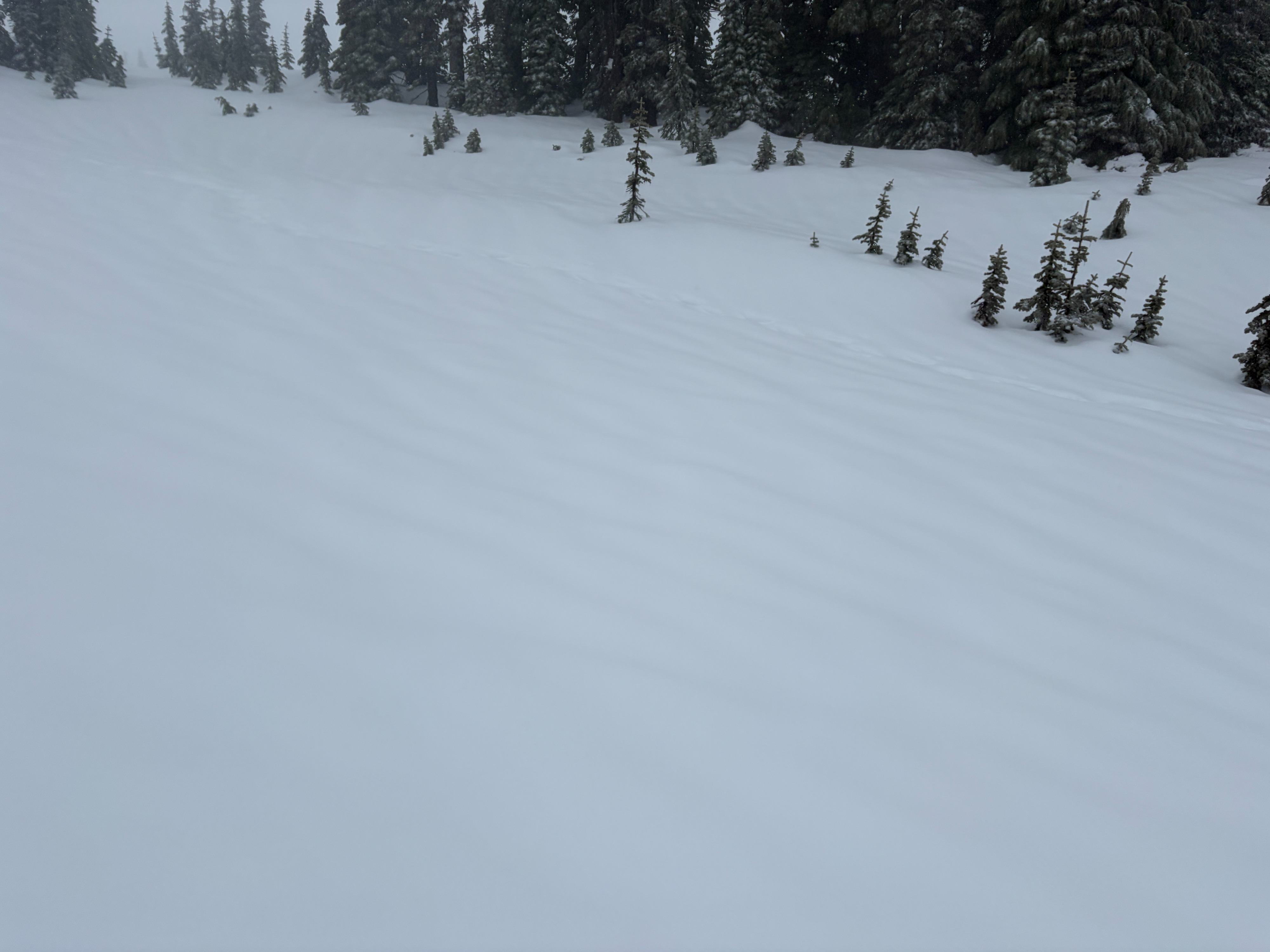
As I pulled out of the parking lot, a few pockets of blue sky popped out between the dense cloud cover.
Weather
- Air Temp
- 30-33
- Cloud Cover
- obscured
- Wind Loading
- light
- Rain Elevation
- 5,500-6,000
- Recent Snowfall
- 1-2
- Snow Avail For Transport
- small smounts
Wet and windy. For most of the day, a steady rain fell, with occasional short-lived snow flurries. Visibility was poor, only a few hundred feet, and without any points of reference, it was easy to get turned around in the white-out. Wind blew consistently moderate to strong.
Snowpack
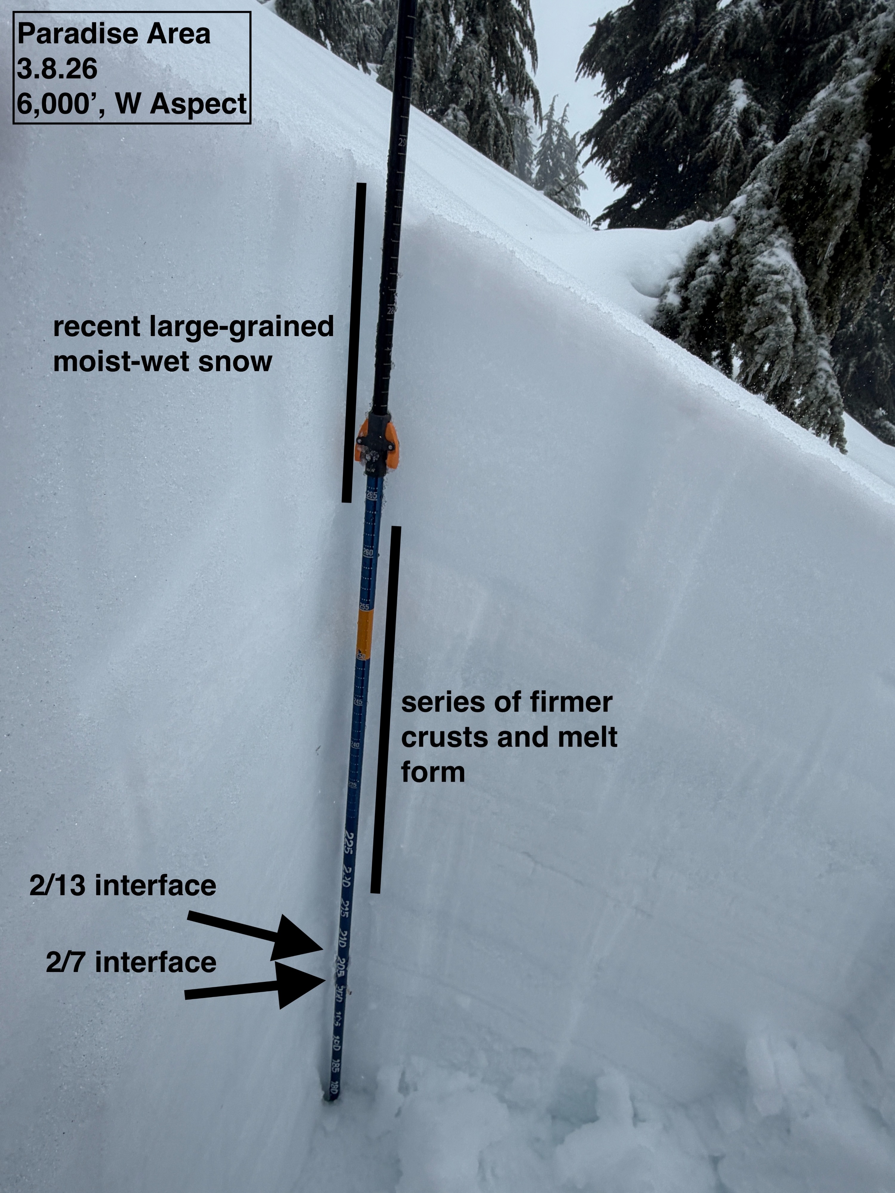
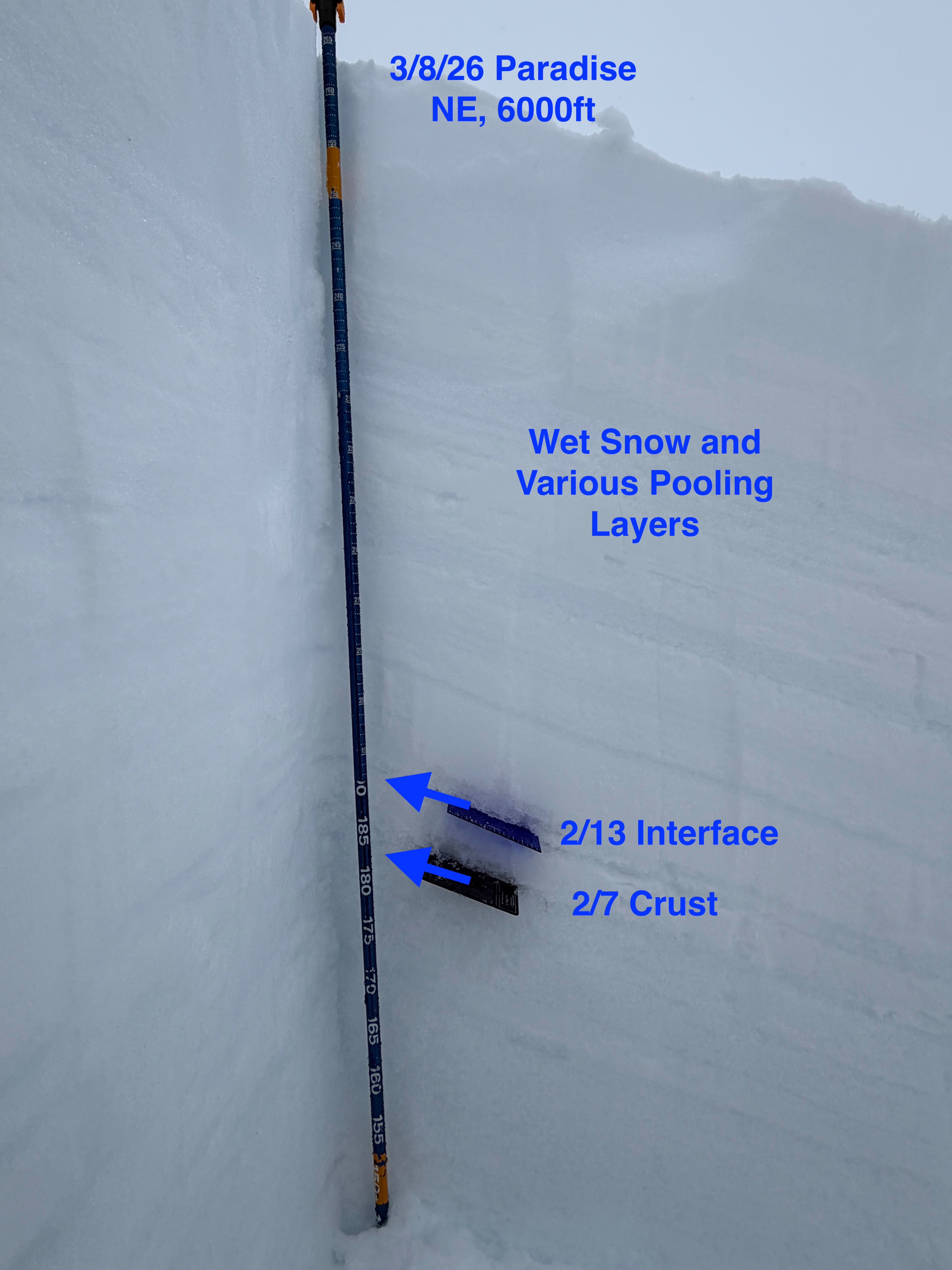
Three separate snow pits were dug around the Paradise Area, all at 6,000 feet, on NE, NW, and W aspects. All pits showed similar structure, snow depth around ~7-8 feet, with the top 3 feet being soft and moist-wet. For simplicity, the snowpack can be divided into three parts: upper, middle, and lower.
The Upper Snowpack: A 2-3 cm crust has begun to form at the surface, which will likely firm up with cooler temperatures. Above 6,000 feet, the surface had already formed a solid, clear, rain crust. Below the surface crust is a series of crusts and layers of moist-wet snow. Most of these layers are a form of large-grained melt form, with water caught in the crusts in between. This portion of the snowpack is soft and not very supportable. Each layer was between Fist and 4-finger hard, and boot penetration was around 2 feet.
The Middle: Below the upper snowpack lies the 2/13 and 2/7 weak layers. Although both of these layers are still easy to identify, the grains within are much less distinct. I was unable to identify intact surface hoar or angular faceted grains within the 2/13 or 2/7 interfaces. This could have been because it was raining steadily on the pit wall and on me the whole time, or it could have been from the recent free water reaching deeper into the snowpack. Much less water has penetrated below the crust of the 2/7, and the grains below the crust still appear weak. These layers are still worth keeping an eye on.
The Lower: The snow below the 2/13 and 2/7 weak layers continues to present firm and supportable. This portion of the snowpack is made up of a series of 1-finger to pencil-hard crusts, and melt forms to the ground. I saw no reason for concern here.
In Compression Tests, small failures occurred within the top 15 cm of the snowpack, mostly around density changes. These failures did not propagate in Extended Column Tests. No other notable results were found.