
Quick report
Quick observations from an excercise tour. Minimal current avalanche danger and minimal snow cover
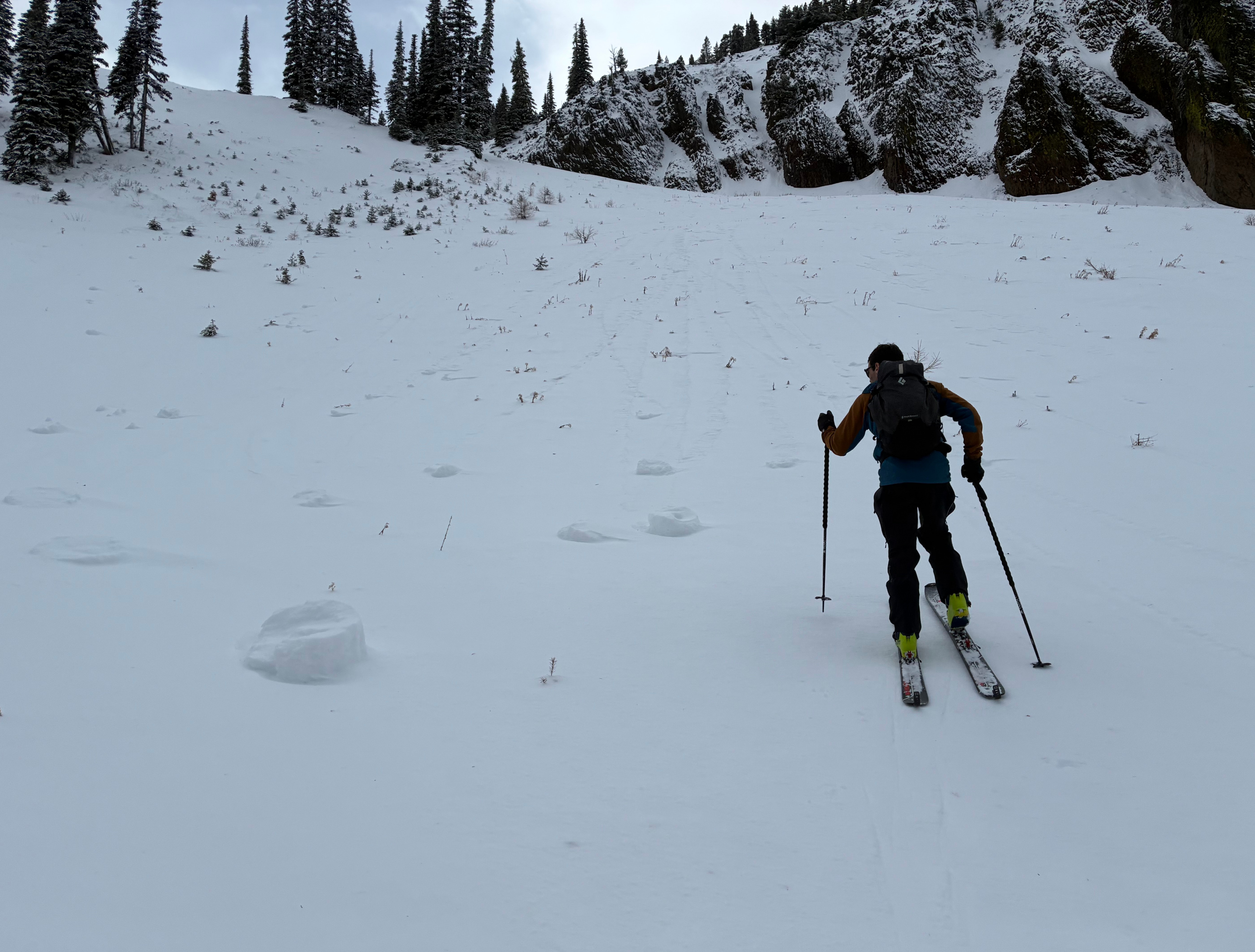
Previous rollerballs, but they were frozen solid today.Weather
- Cloud Cover
- broken
- Wind Loading
- previous
- Rain Elevation
- 5,500
- Recent Snowfall
- 5
- Snow Avail For Transport
- small smounts
No precipitation. Calm. Mild temperatures
Snowpack
6600ft HS 35cm. Drifts up to 55cm. 10cm of recent soft snow.
5,500ft HS 25cm
4,600ft HS 15cm
A thick, supportive, and frozen surface crust exists at all elevations. Continuous snow starts around 5,300ft, though it's still very shallow.
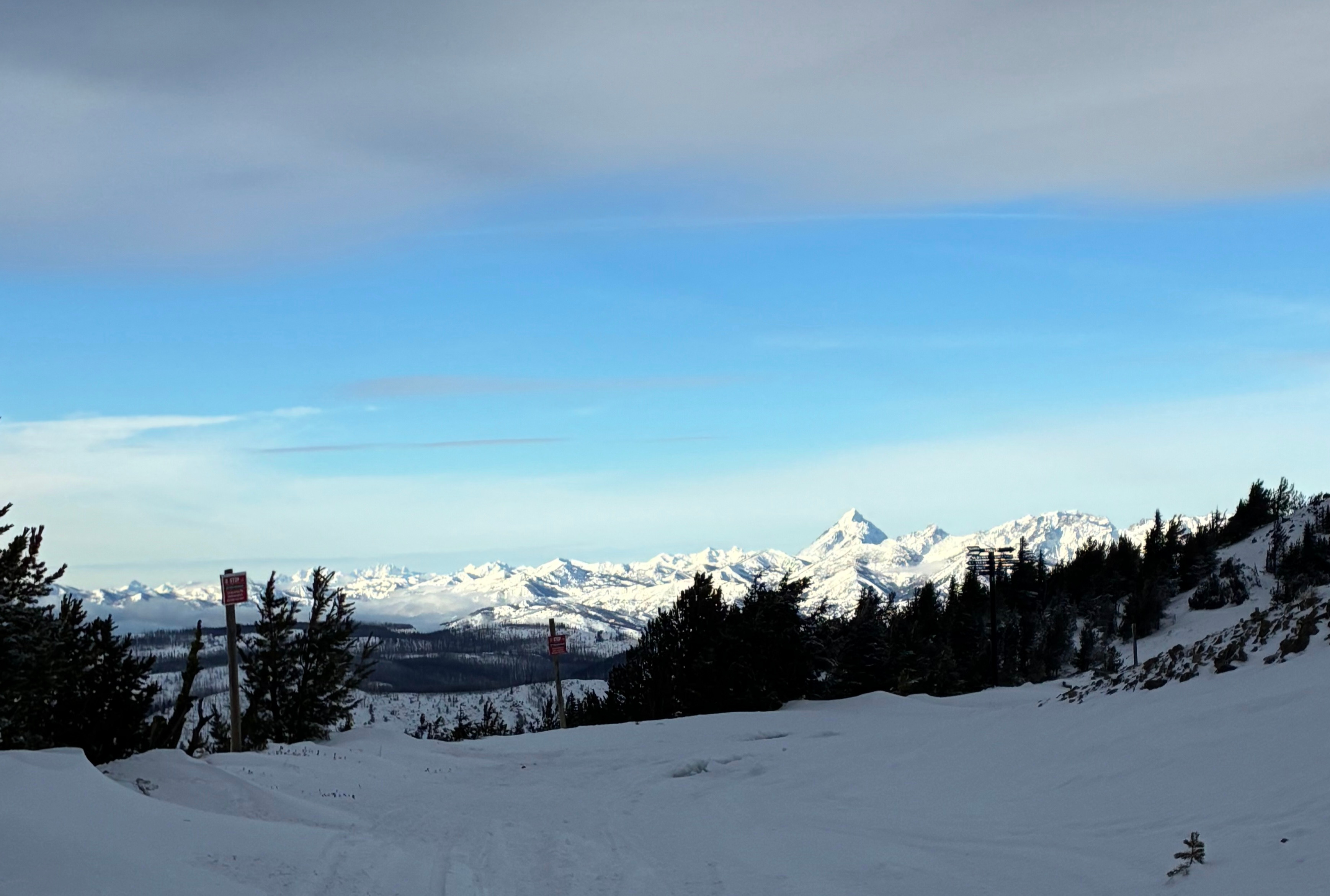
We got great views into the Stuart Range, Glacier Peak area, and even the lower portion of Rainier. Upper elevations look impressively wintery and deep. There was an notable drop-off in snow below treeline (5,800ft?) throughout the range.
Avalanche
None visible