
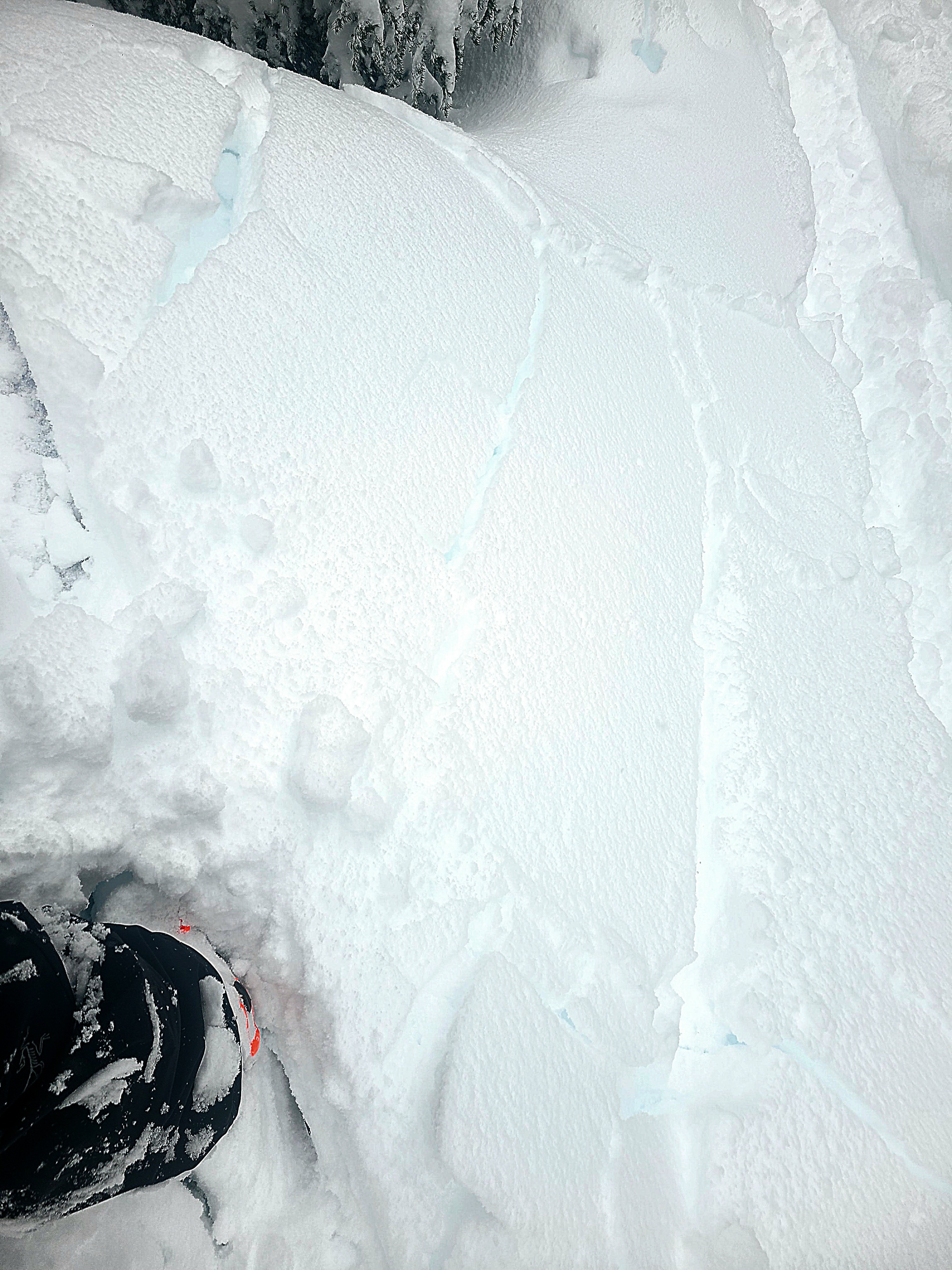
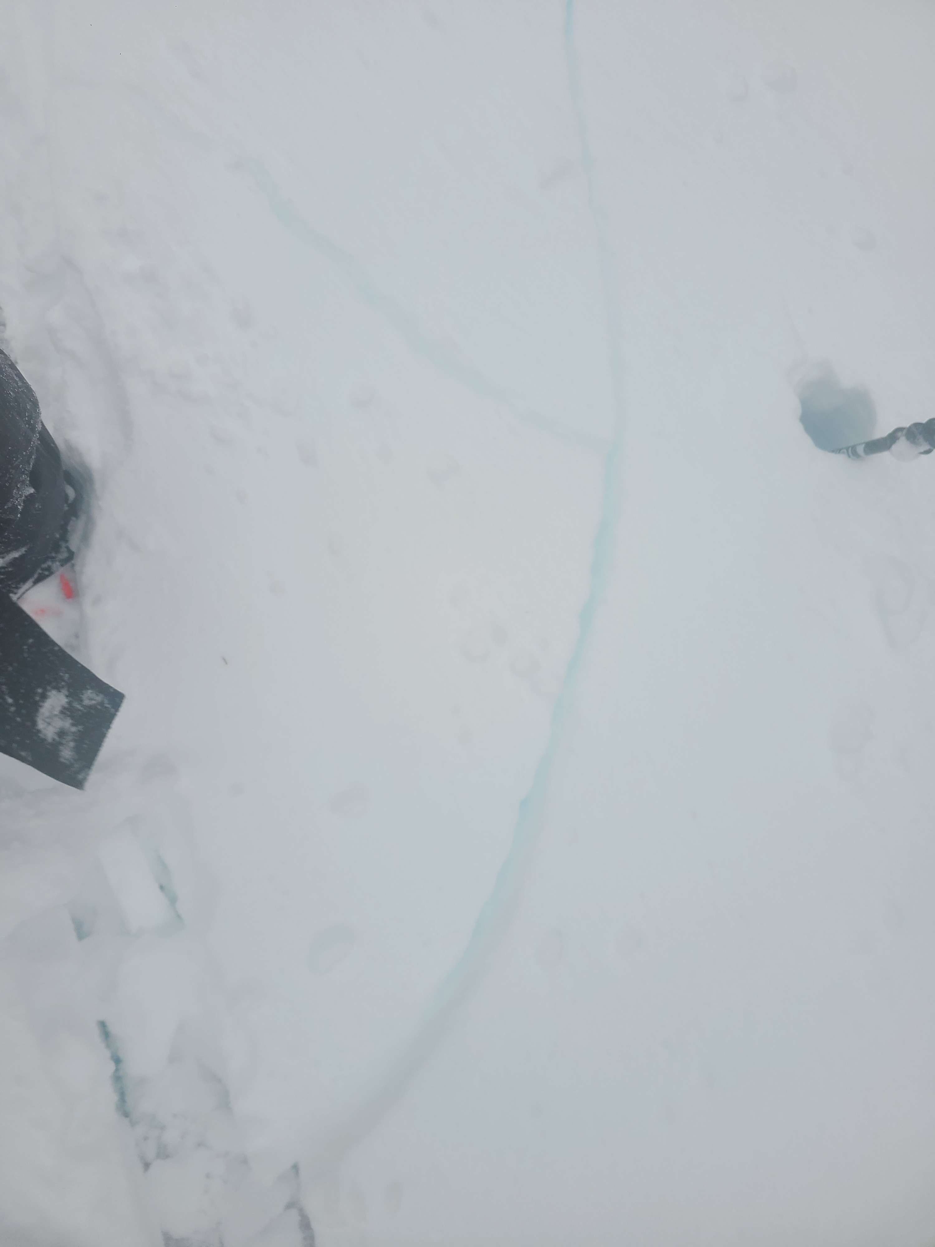
Quick report
- Cracking
- widespread
It was a wet, wild, windy day in the mountains. But it was a great chance to observe the new snow instabilities and rapid wind-loading. The obvious signs of unstable snow and unstable results in test slopes were widespread, keeping us on low-angle terrain to enjoy the welcome return of frozen precipitation. The upside down (heavy over soft) layering of the storm snow made trail breaking and skiing feel deep and slightly challenging. But I brought my widest skis for these conditions, and it worked out well for some enjoyable turns in mellow terrain.
Most small test slopes in both sheltered and wind-affected terrain produced cracking or small slab avalanches. We found that most of these instabilities were on a mid-storm layer buried 25cm deep.Weather
- Cloud Cover
- obscured
- Wind Loading
- intense
- Recent Snowfall
- 45cm
- Snow Avail For Transport
- large amounts
It was a proper Pacific Northwest storm day at Stevens Pass. For most of the day, it snowed 1-2" per hour, and temperatures hovered just below freezing. Strong westerly winds actively drifted snow throughout the day.
Snowpack
New snow fell over a melt-freeze crust (2/24 melt-freeze crust) from this weekend's rain event. The warming temperatures formed heavy over soft snow layering, contributing to the unstable snow conditions we found. Actively drifting snow also formed wind-stiffened surfaces in exposed terrain.
Snow Profile: 4800ft, East Aspect
Height of Snow: 237cm
Snowpack Summary: There is 45cm of storm snow over the 2/24 melt-freeze crust. The top 25cm is slightly heavier snow over 20cm of weaker snow below. At this mid-storm interface, we found touchy, unstable results in large and small column stability tests (ECTP 1, CT1 SP). Stability tests also produced results in small column tests just above and below the 2/24 melt-freeze crust but were increasingly stubborn (CT17 PC). Below the 2/24 crust the snowpack is moist with multiple layers of melt-freeze crusts with consolidating, rounding snow inbetween. This all rests over the January Drought Layer, a slightly weaker (4F) layer of moist, rounding facets. Stability tests produced no results on this deeper weak layer.