
Quick report
- Cracking
- specific
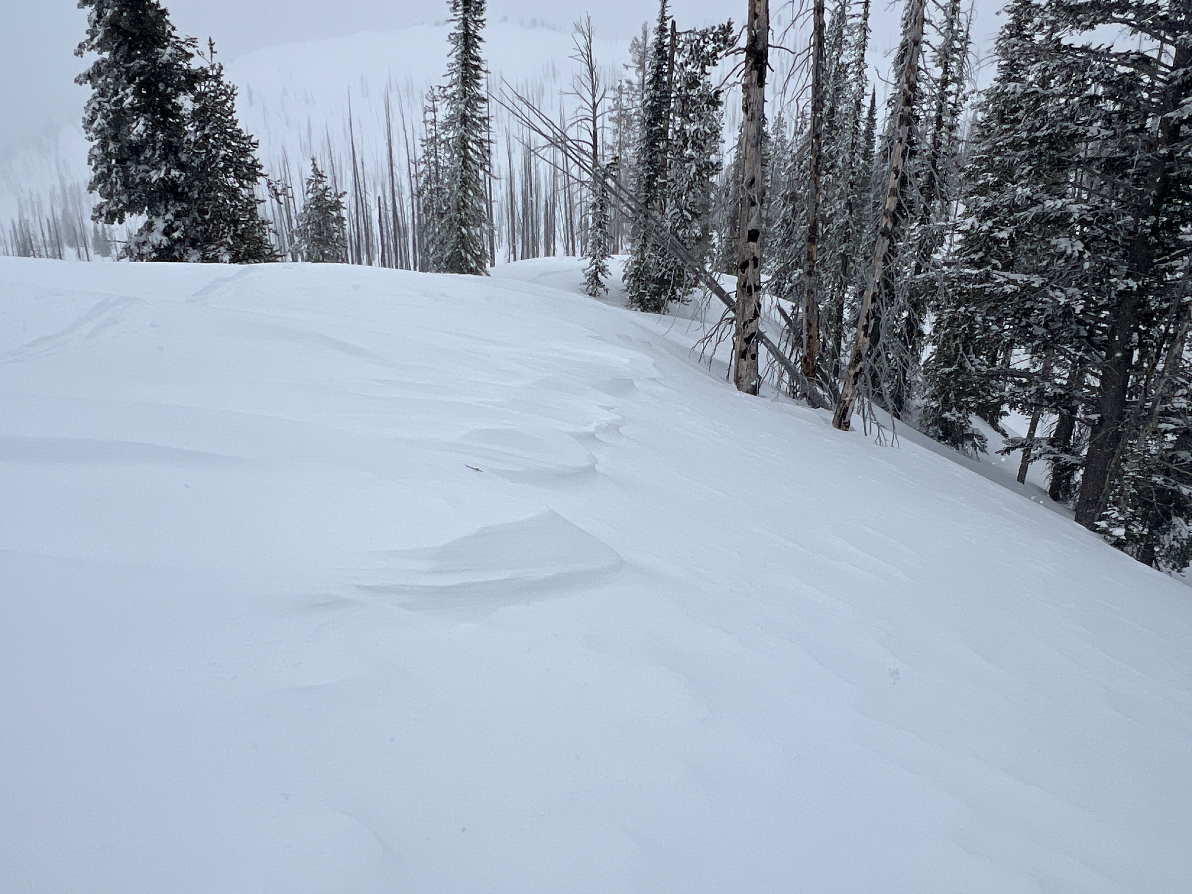
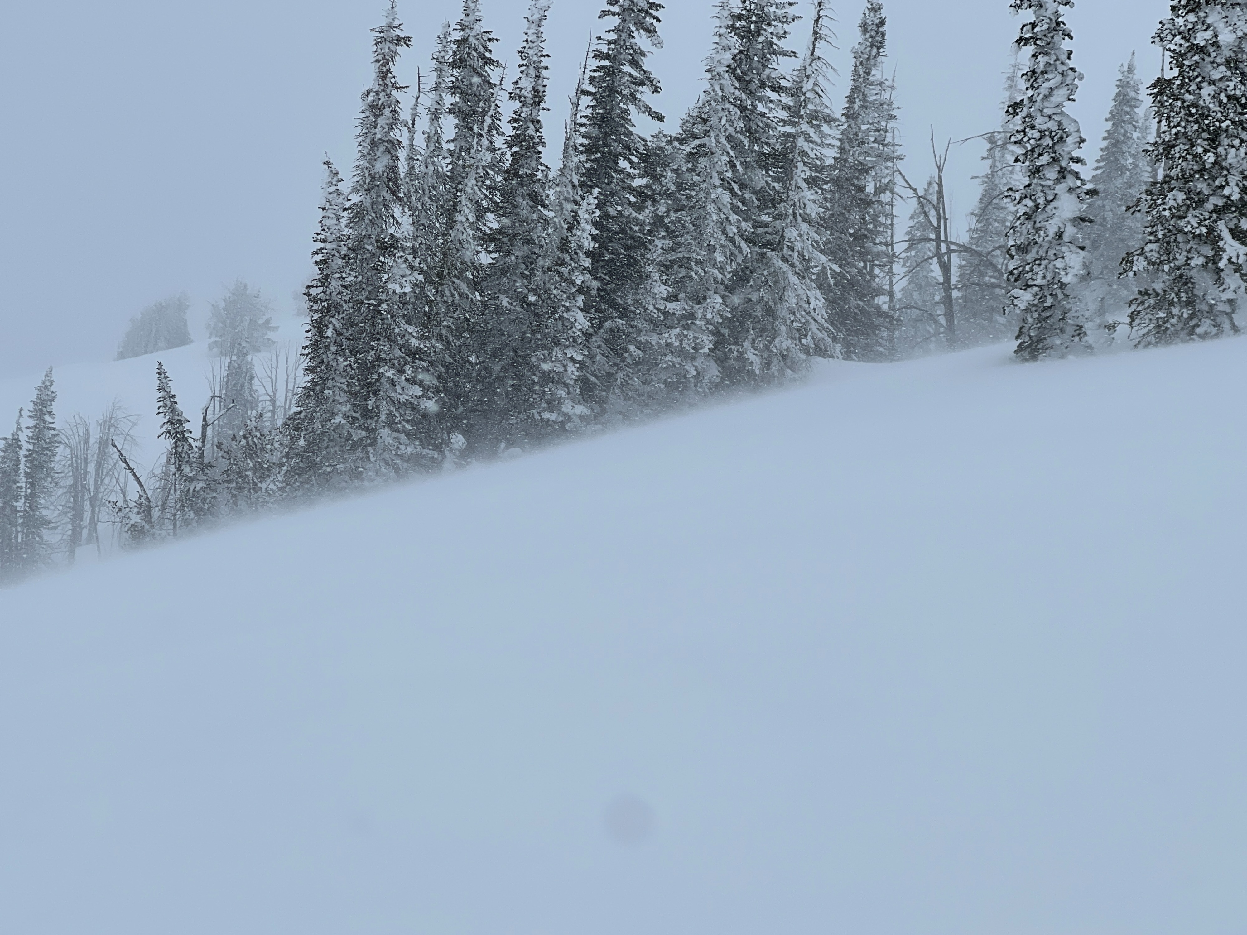
There was plenty of wind transport from the South and West today with gusts into the 50's at the Kip Rand weather station at 7500'. Ample snow is available to get blown into sensitive drifts below corniced ridgelines. I observed localized cracking around my skis, but got no reactivity from any small test slopes I rode over.
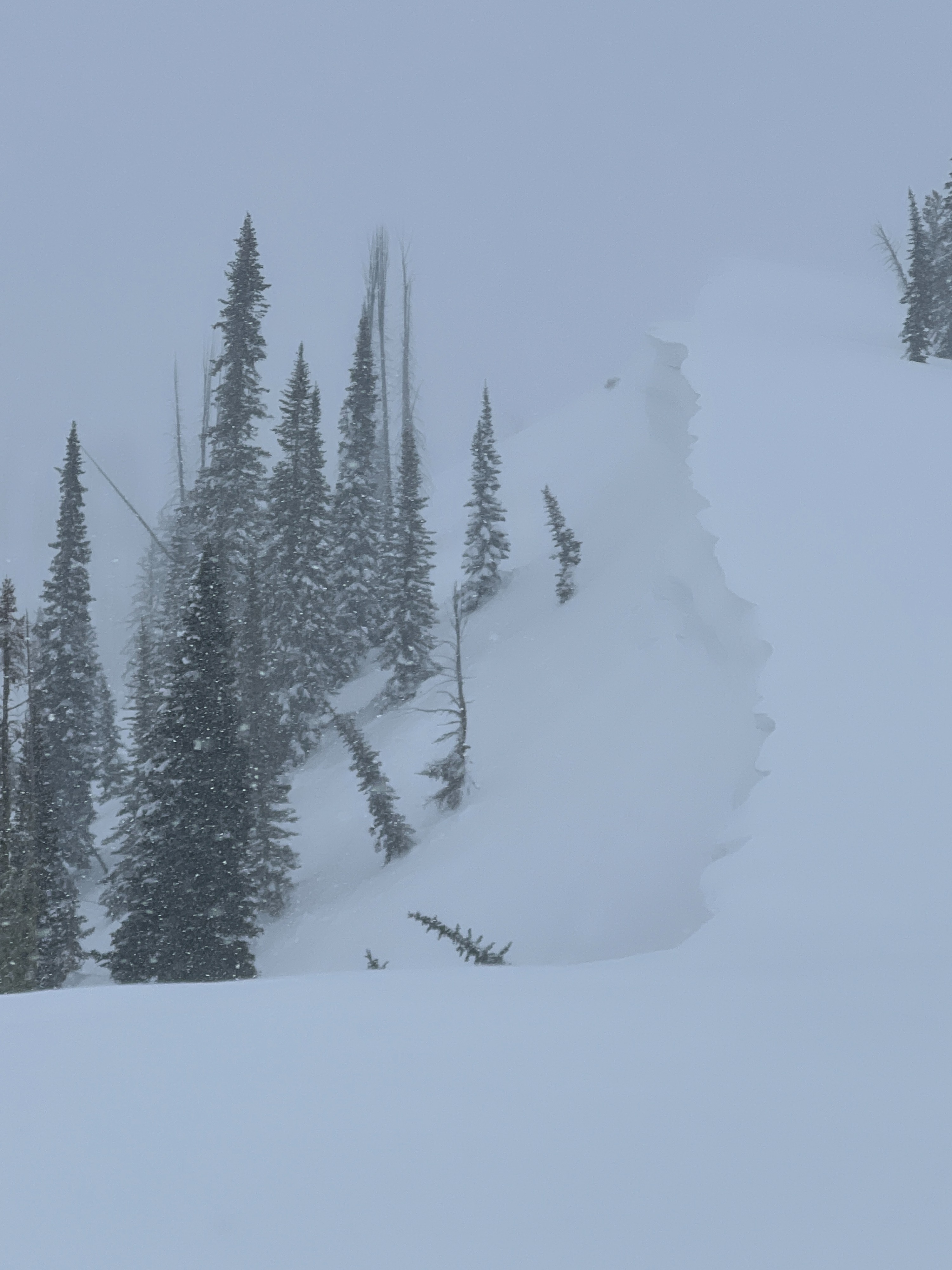
Reports of 2 D2 avalanches off of the East Aspect of Cornucopia East aspects off of Grateful Ridge and Simmons Ridge had cornice failures that triggered D1 wind slabs Cracking in exposed terrain.Weather
- Air Temp
- 25
- Cloud Cover
- overcast
- Wind Loading
- moderate
- Rain Elevation
- 3500'
- Recent Snowfall
- 30
- Snow Avail For Transport
- large amounts
There was a short burst of sun for about 10 minutes mid-morning, but otherwise it was cloudy. Snow came in some intense bursts, with up to 1" an hour rates at times. 3-5" fell throughout the day. Winds were moderate to strong out of the West and South.
Snowpack
There was about 12-14" of new snow in the last 24 hours with 4 distinct storm layers since the start of the refresh on Wednesday. New snow amounts at 7000' since Wednesday are around 2'. There was a mixture of graupel in the middle two layers of storm snow and the new snow seemed quite well bonded to the Melt Freeze Crust below. In an extended column test, I got a couple fractures within the storm snow on the graupel layer and the Melt Freeze Crust, but no propagation in my Extended Column Test.