
Quick report
We returned to Relay Peak to check the status of the old weak layers before another series of storms add more load to the snowpack. The weak snow still exists; tests show it could reactivate with a significant enough loading event.
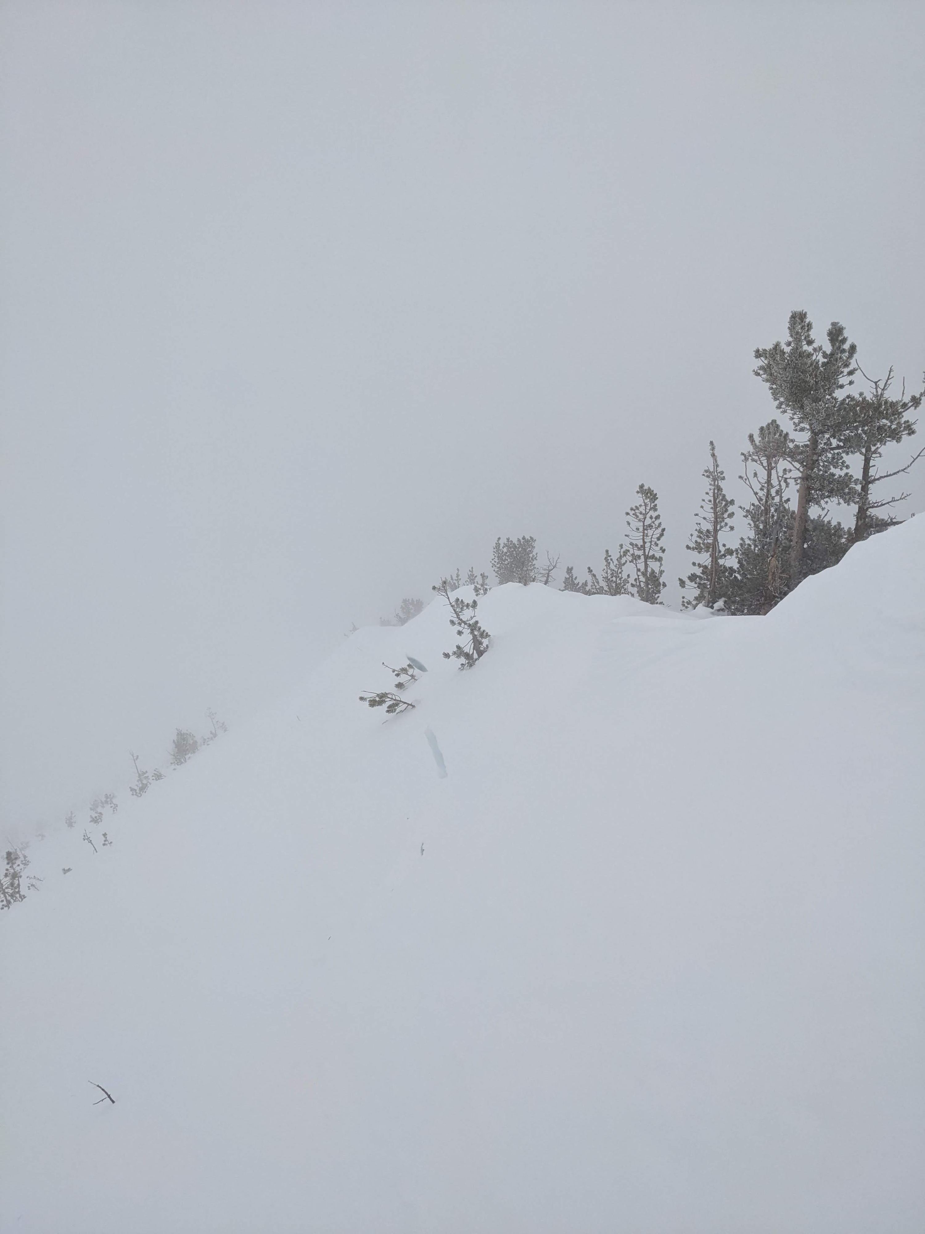
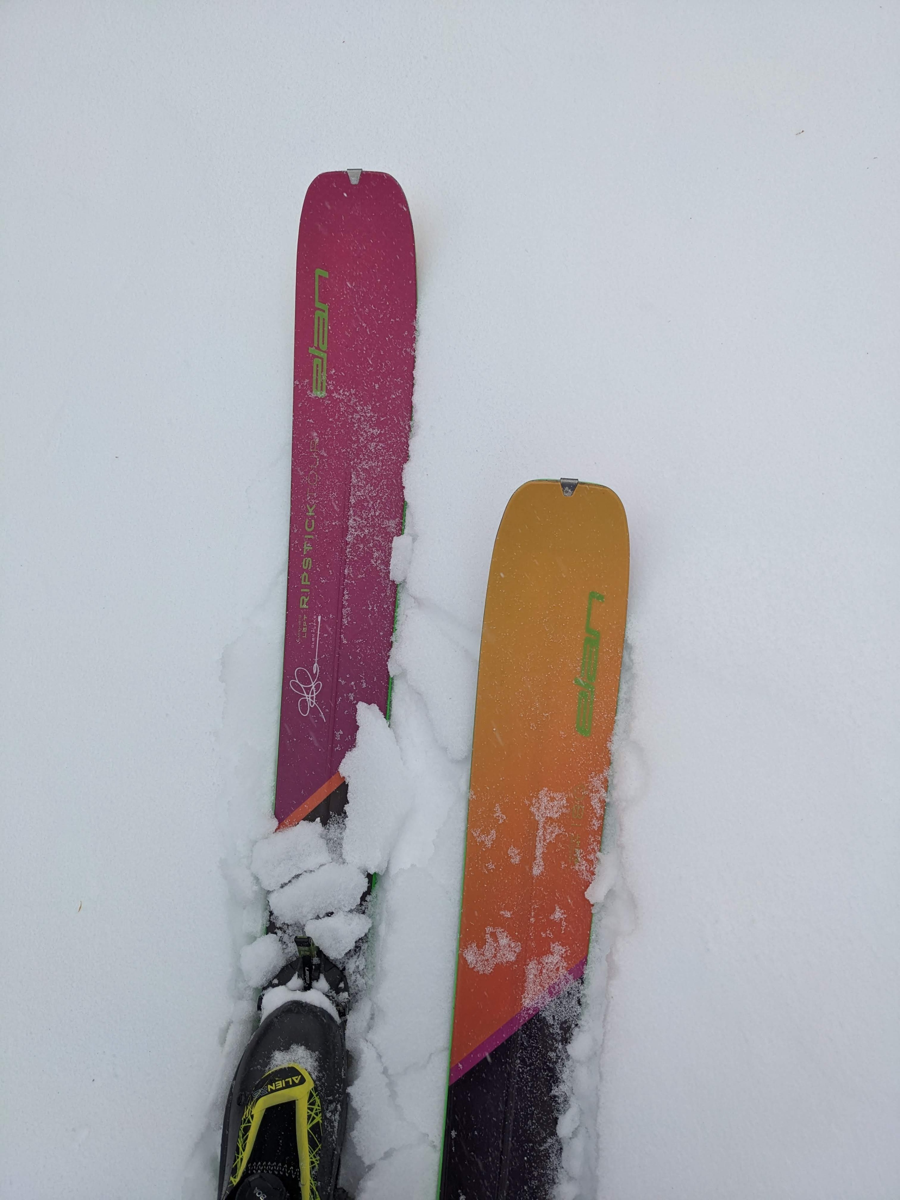
As with other places around the forecast area, variable snow surface conditions existed, with some soft snow in sheltered areas, breakable crusts in sunny areas, and wind-affected snow in exposed areas. These uneven surfaces and poor visibility made travel conditions more challenging. Despite that, we reached the Relay Ridge, where we encountered strong winds and small amounts of blowing snow. We did not see significant deposits of wind-blown snow or new wind slabs before 1 pm when we left the area.
Weather
- Air Temp
- 24
- Cloud Cover
- obscured
- Wind Loading
- light
- Recent Snowfall
- 0 to1 cm
- Snow Avail For Transport
- small smounts
Strong W and SW winds and light snow with little accumulation prevailed during our tour. Low clouds obscured visibility.
Snowpack
The snowpack remains shallower in this area, and weak layers (Dec 19 PWL) still exist in the lower half of the snowpack. These layers are gaining strength slowly, but tests still indicate that fractures can travel along the weak layer if it breaks. The upper part of the snowpack consists of stronger, well-consolidated snow.