
Weather
- Air Temp
- 33
- Cloud Cover
- broken
- Wind Loading
- none
- Recent Snowfall
- Trace
- Snow Avail For Transport
- small smounts
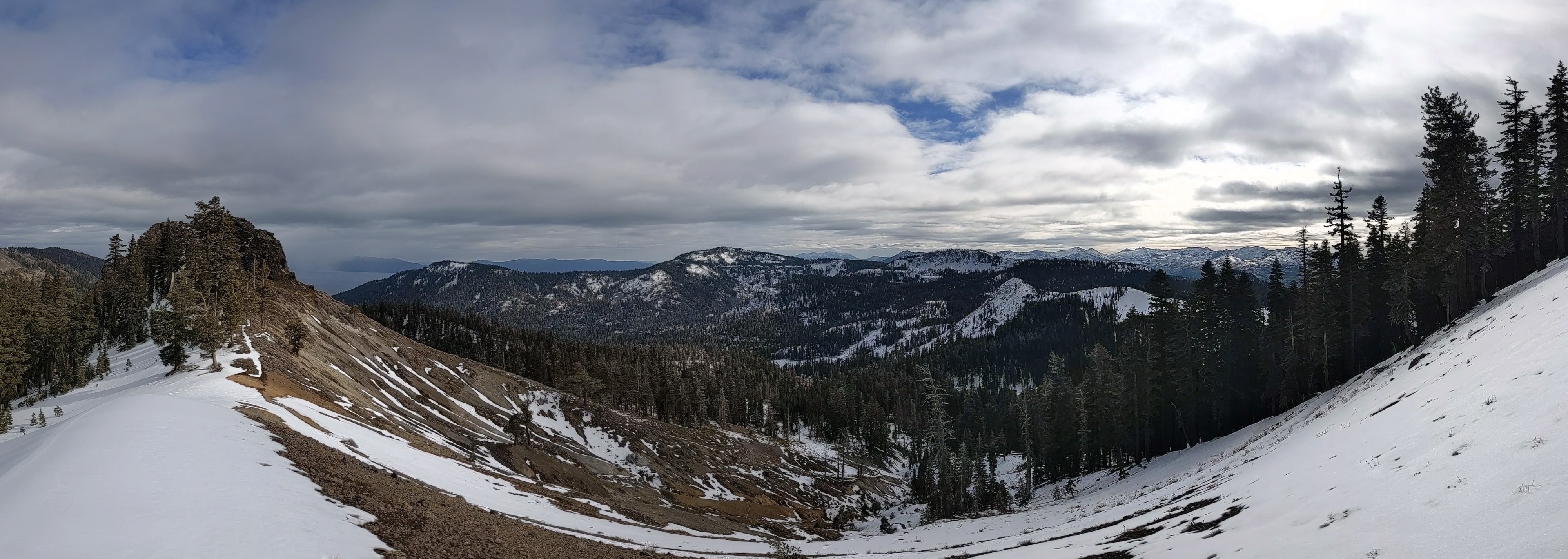
Light snow fall with trace accumulation gave way to an end to precipitation and scattered cloud cover.
Snowpack
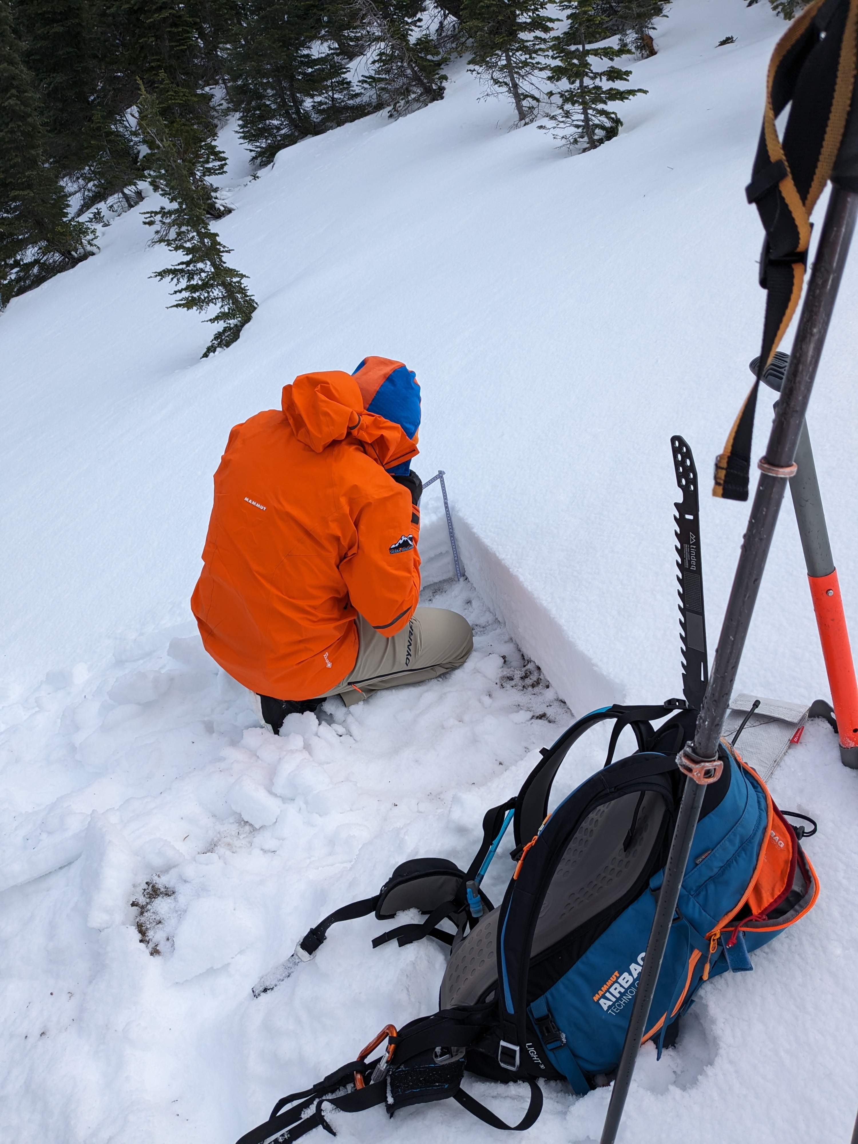
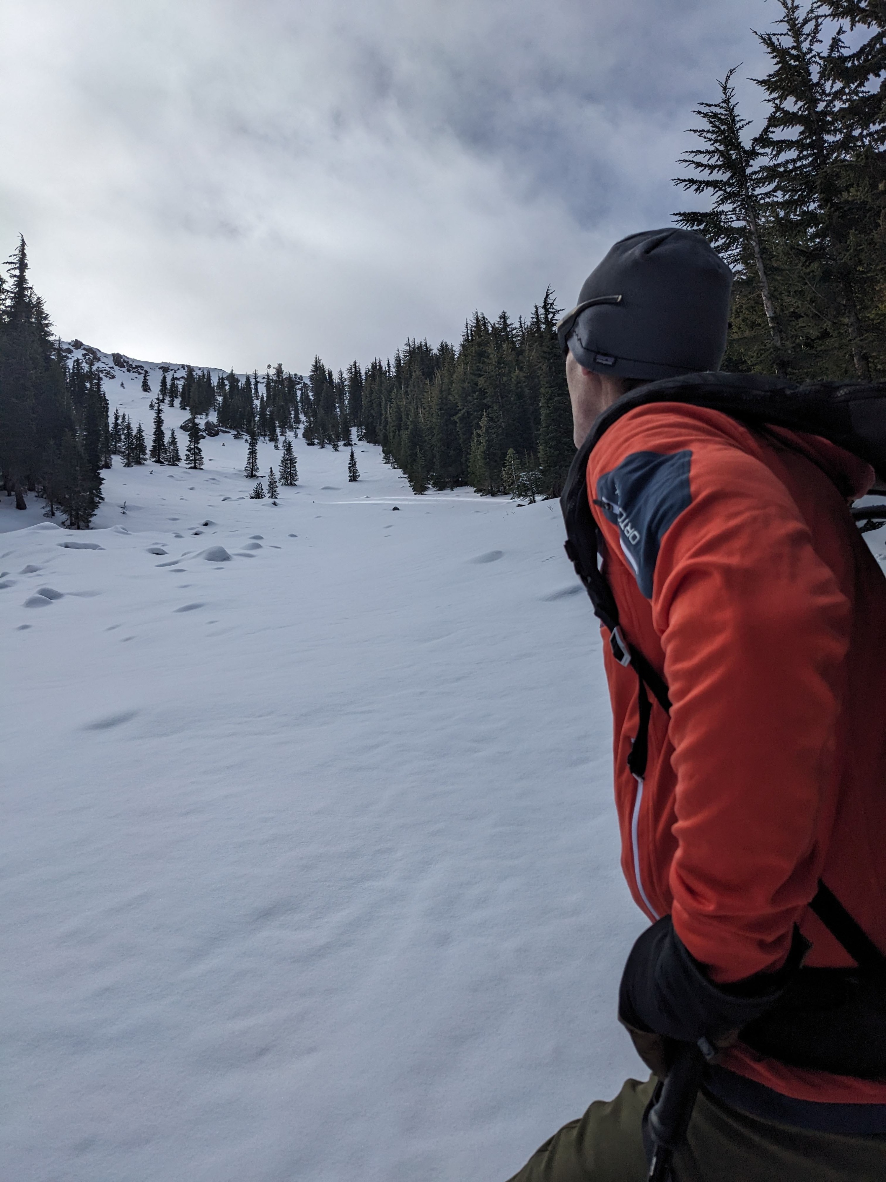
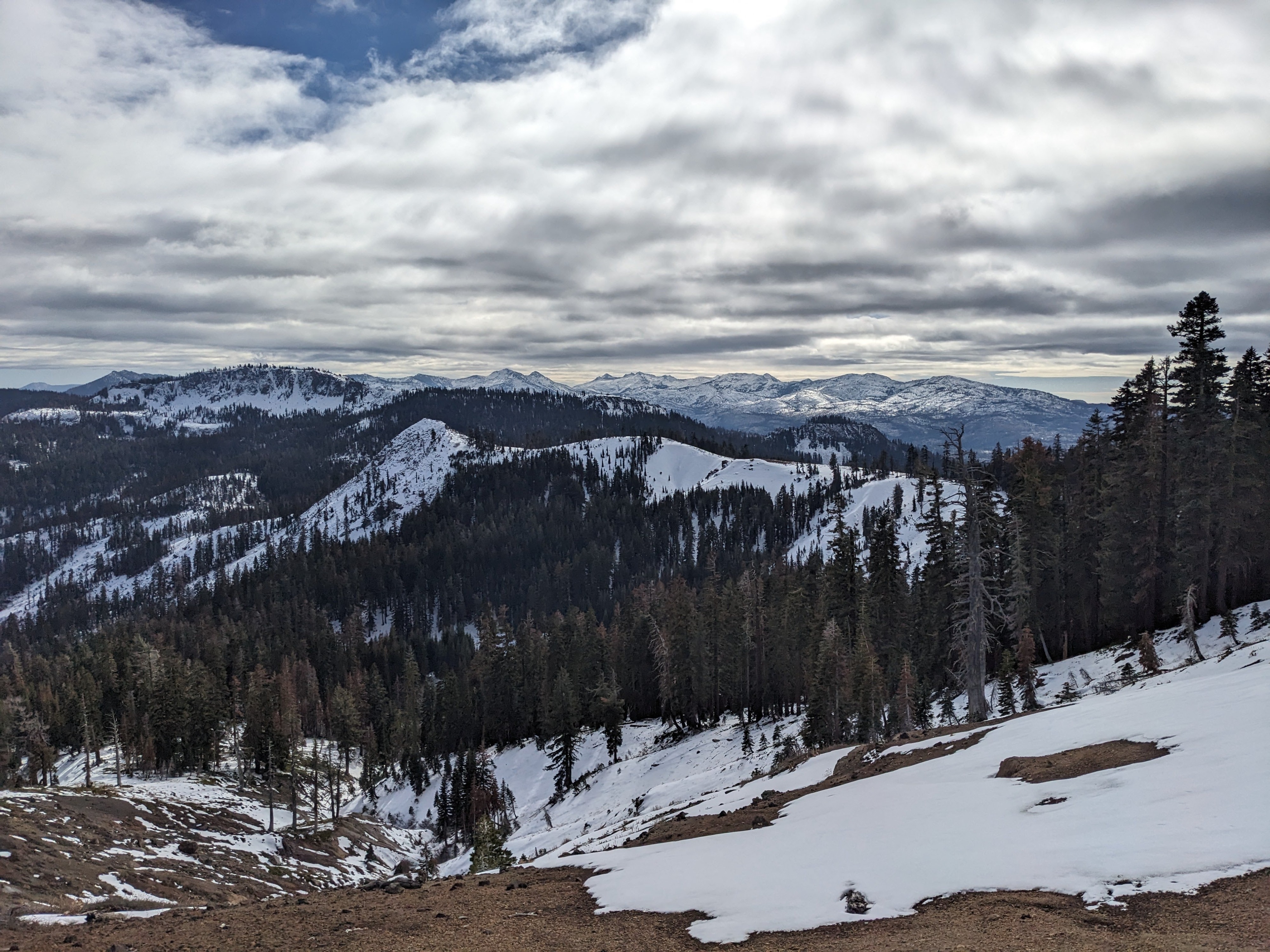
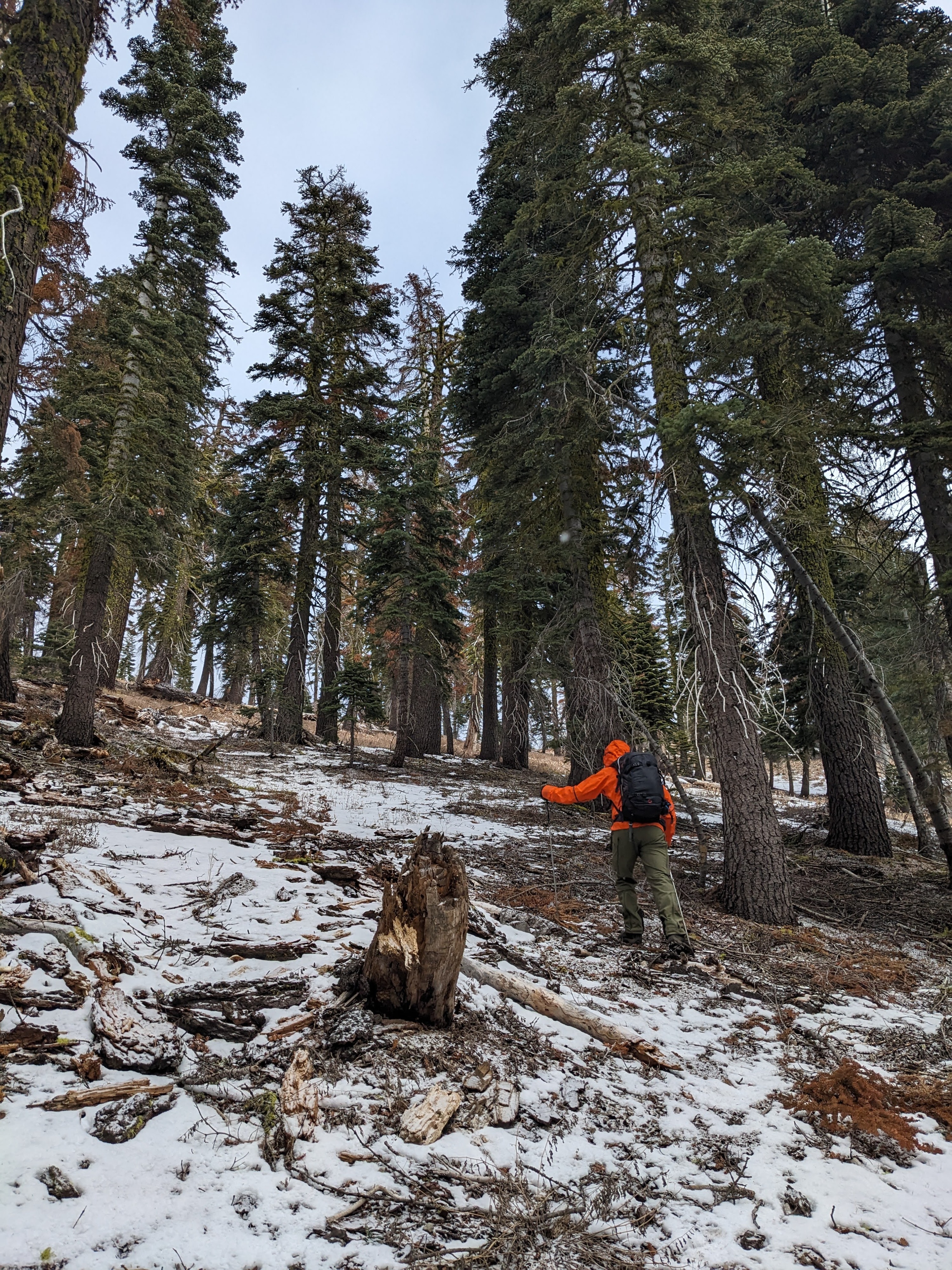
Southerly aspects remain bare ground or thin patchy snow cover in this area up to 8,400'+. Northerly aspects hold 1 foot of snow at 8,000'. The existing snowpack on northerly aspects is a mix of rain crusts and faceted snow. The snowpack in this area is supportable to travel on foot, but the surface crust can easily be broken if desired.
We noted surface hoar 10 to 12 mm in size on open northerly aspects. This surface hoar was preserved under the trace amount of new snow from this morning. This surface hoar and the thin layer of dry faceted snow below it was very weak on top of the uppermost rain crust in the snowpack. A classic setup of weak layer and bed surface with no overlying slab (yet) exists in this area. There is a decent chance that this dry weak snow (surface hoar and facets) will persist to burial by the expected snowfall within the next 24 to 36 hours. This could easily preserve the weak layer and put a slab on top of it, especially in wind loaded areas near treeline.