
Quick report
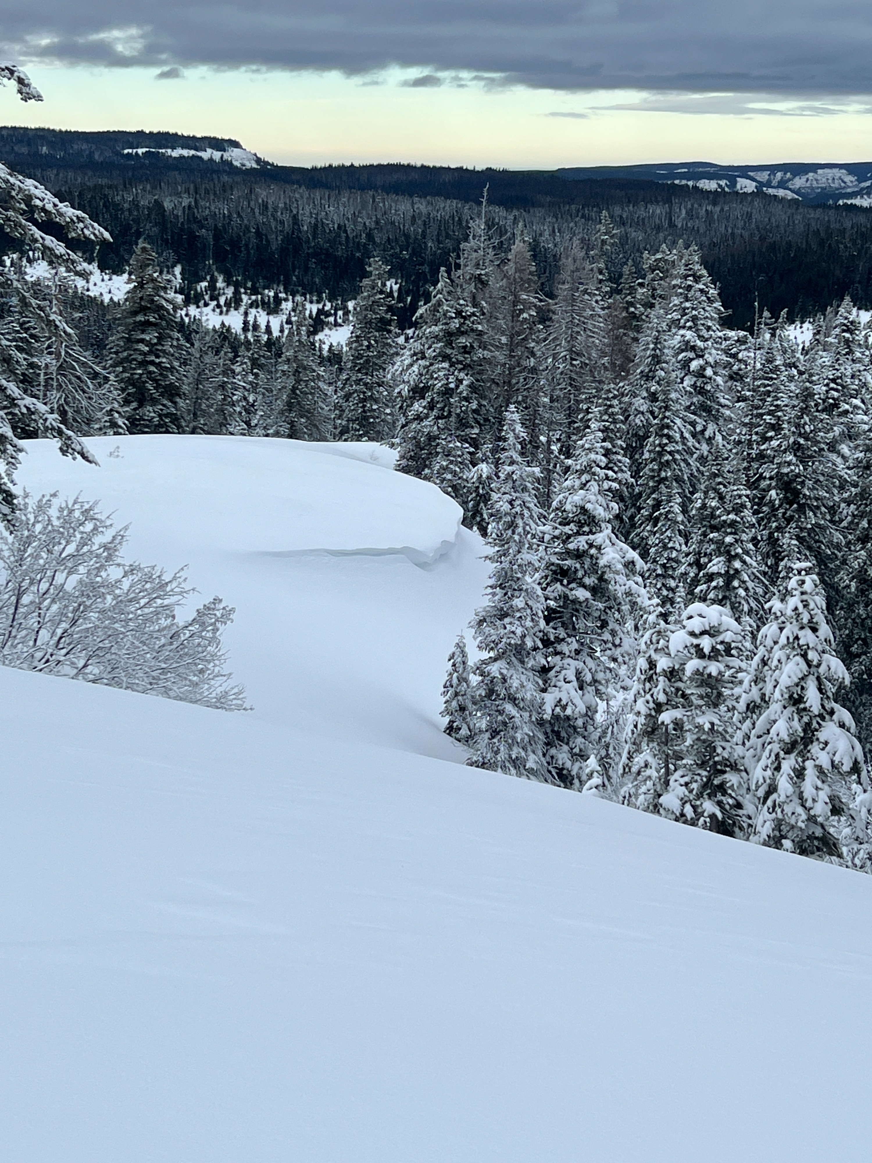
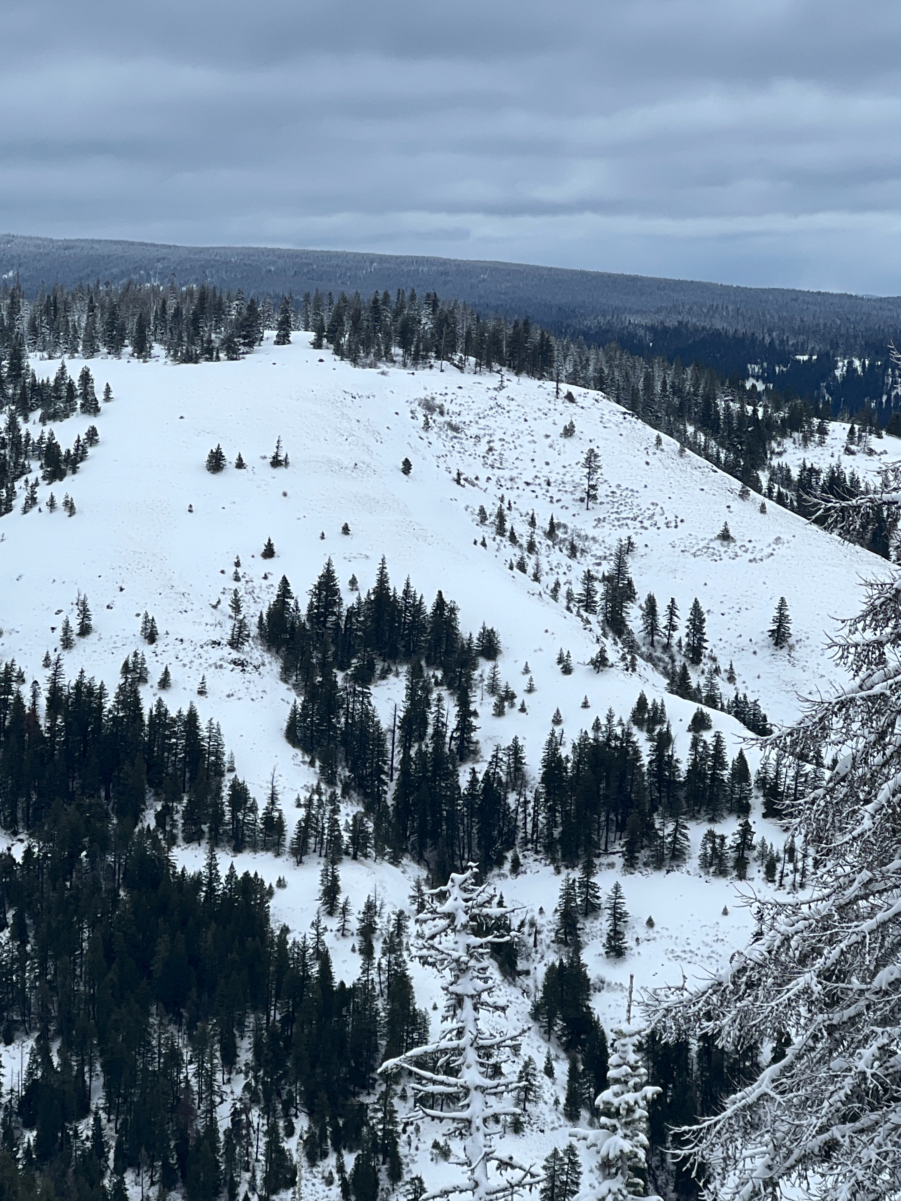
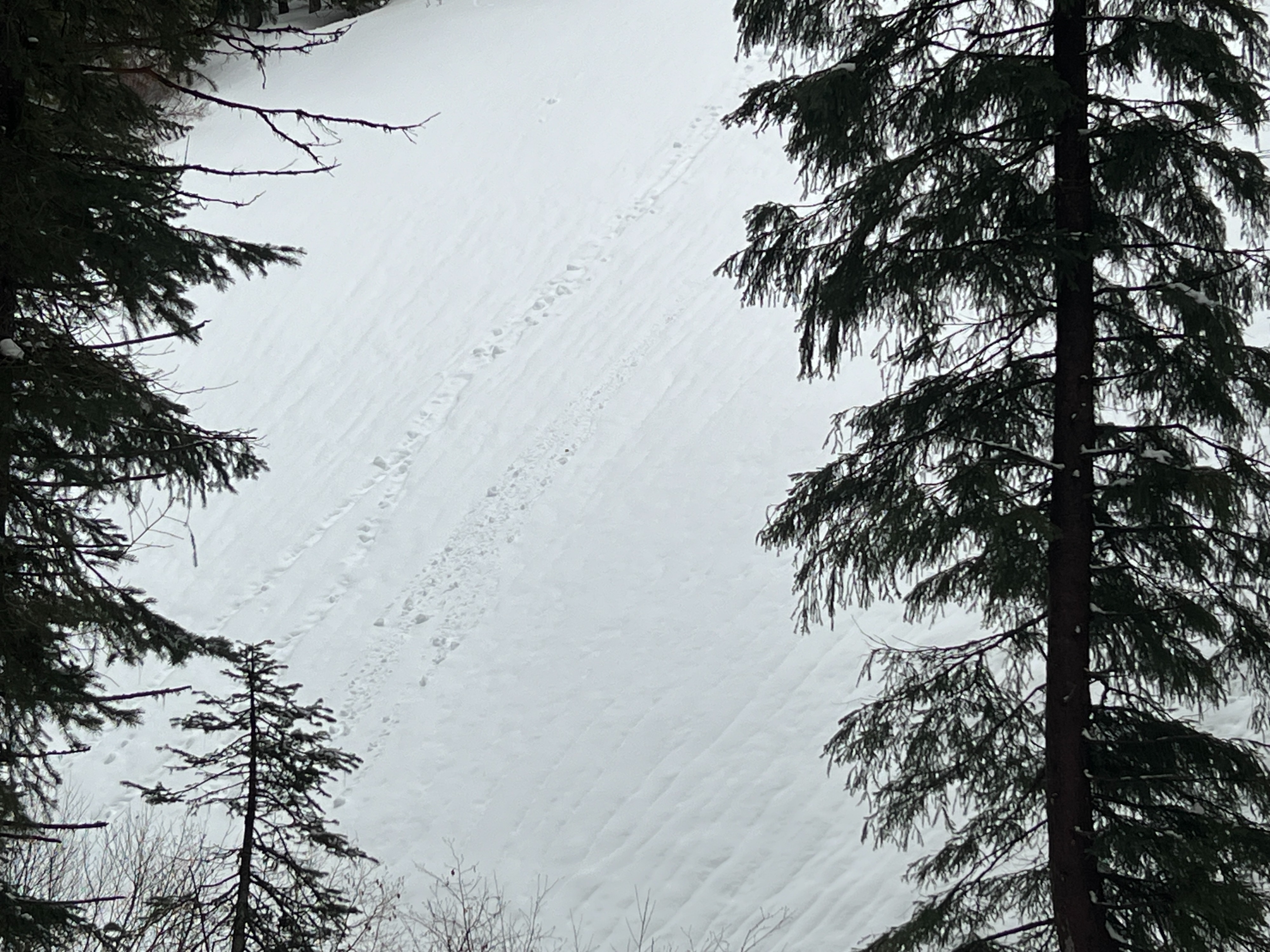
While skinning up to Spout Springs from the highway I noticed a melt-freeze crust at lower elevations. Runnels were noted at the lower elevations of Spout Springs. It seemed like the Freezing Line was likely around 5,000' last night. Nearing the top of Spout Springs, the crust disappeared and the snow on the surface became drier. I noted previous wind transport (see picture below) onto Northerly aspects. Driving down the road to Elgin, I noted additional Rain Runnels and roller balls along the roadside. This is a great tell tale sign of a precursor to wet loose avalanches.
Sudden Collapse in Compression TestWeather
- Air Temp
- 32
- Cloud Cover
- overcast
- Wind Loading
- light
- Rain Elevation
- 5000
- Recent Snowfall
- 10
- Snow Avail For Transport
- small smounts
Temperatures were right around freezing. Winds were moderate out of the SW. Skies were overcast. No precipitation.
Snowpack
I found a total snow depth of 155 cm /5 feet at 5300' on a Northeast aspect. I found about 20 inches of snow from the most recent storm that started on Christmas night. This was sitting above a variety of melt freeze crusts with softer snow between. I found what I believe is the Thanksgiving Drought Layer (TDL) about 2 feet down from the surface. The snow grains were loose and not cohesive. Just like all of the snow layers in the snowpack at this location, the weaker snow grains were moist. Easy to make a snowball with them. I conducted a compression test and got a sudden collapse result on the 22nd hit. An Extended Column Test did not show propagation on this layer.
CAUTION: SNERDING OUT HERE....I decided to take temperatures throughout the entire snowpack and found that there was almost no temperature gradient. The temperature was the same from 10 degrees from the surface as it was at the bottom of the snowpack. We generally see this type of isothermic regime in the spring time. A snowpack that holds a strong temperature gradient (a difference of 1 degree celsius or more per 10 cm of depth) is generally associated with the weakening of snow grains. The absence of this, shows that our snowpack in the Blues is gaining strength. Now there is a caveat to this.... If it stays above freezing, or if a rain on snow event occurs, water can percolate through a snowpack such as this and pool on any number of buried crusts and create wet avalanches. Again, something we are used to seeing in the spring, not in December! If we get a nice cold snap, I think the snowpack in the Blues will lock up nicely until it gets warm again.