

Quick report
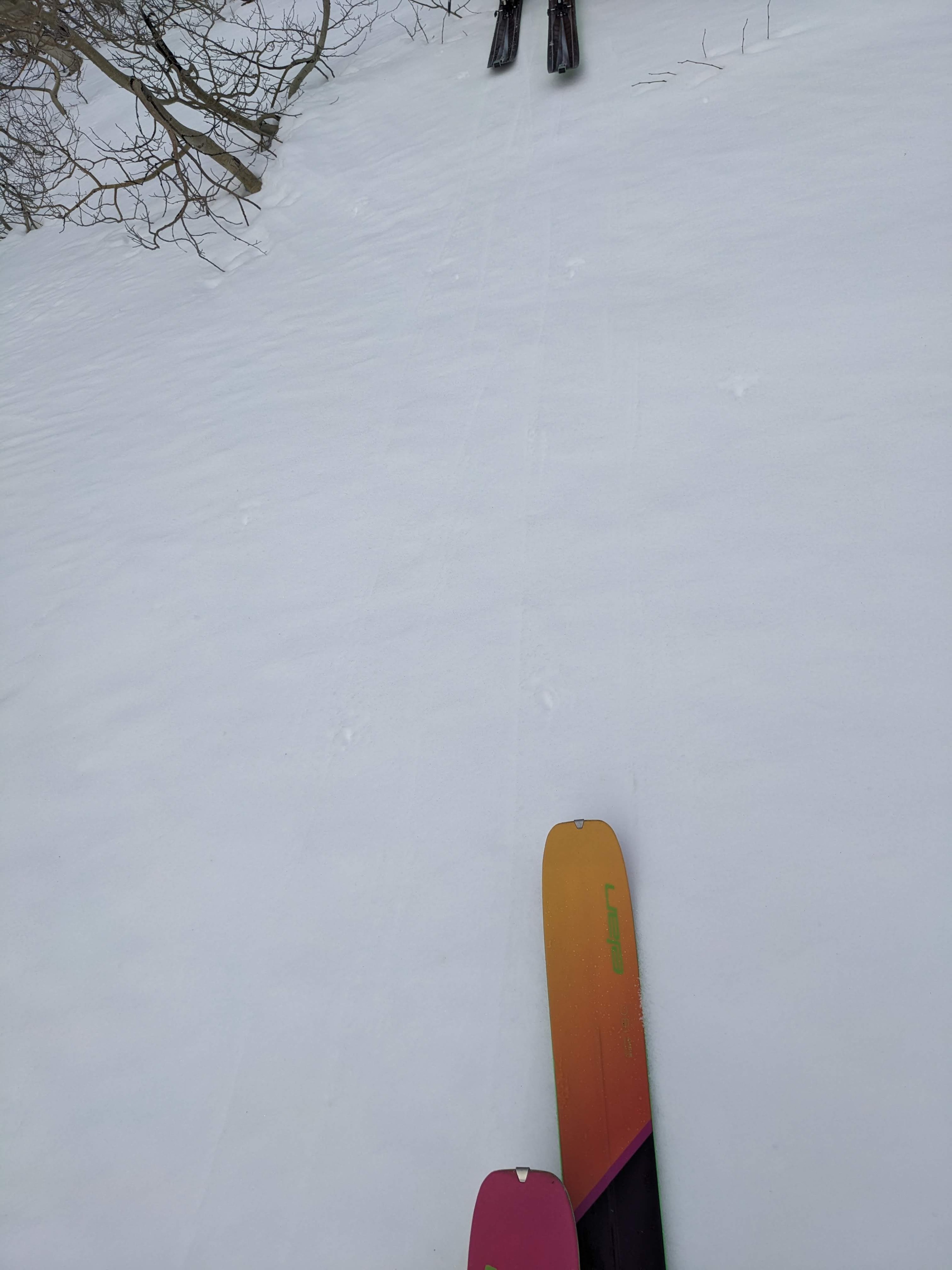
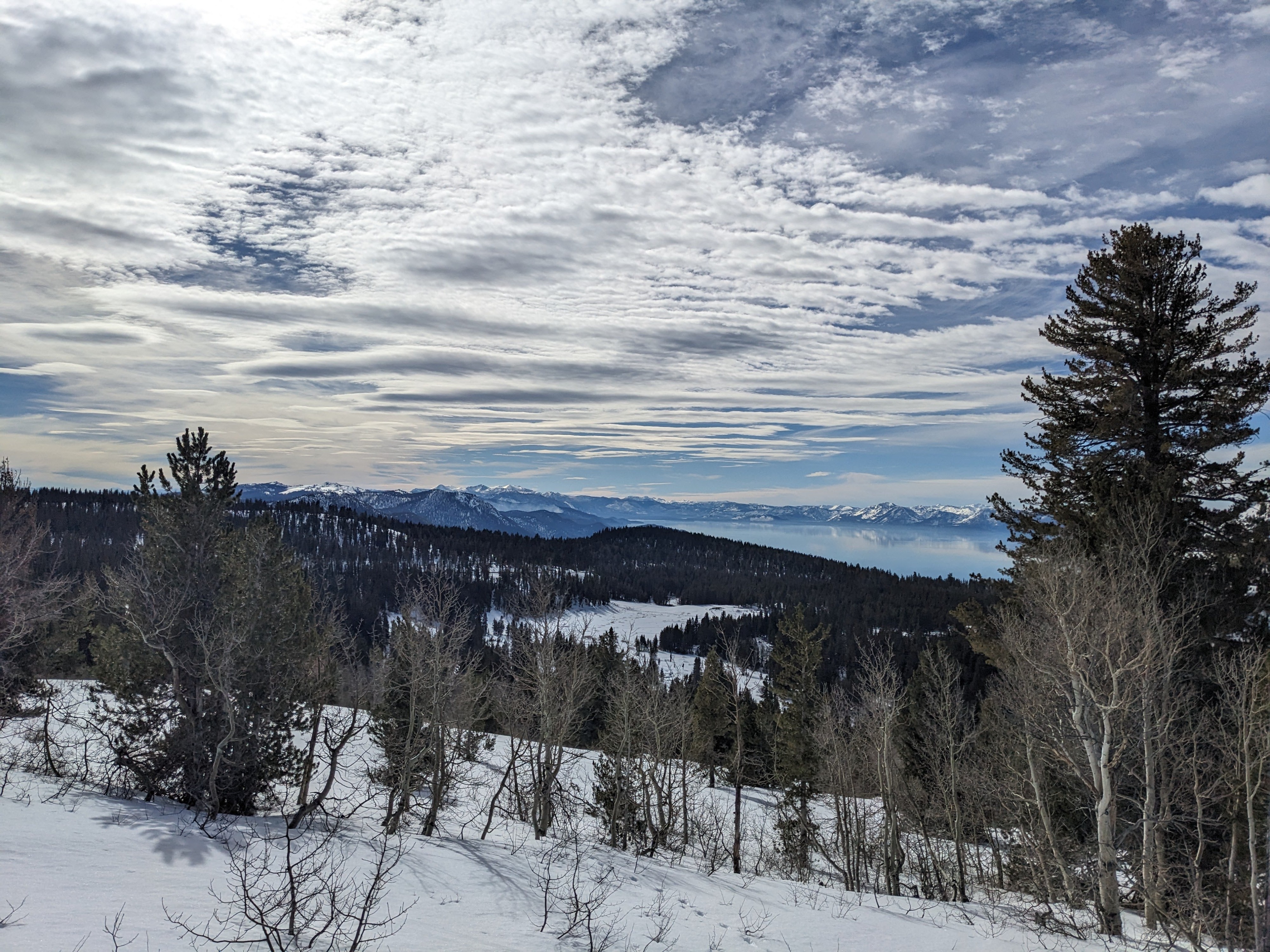
We toured on the E Ridge of Relay Peak this morning. We departed to truck with full cloud cover and above freezing air temperatures. A strong and ski supportable snow surface refreeze existed on all aspects. The refreeze was just the top one inch or so of the snow surface at P hard. As we ascended, moderate speed ridgetop winds out of the SW became apparent. Cloud cover gradually thinned enough to allow for some incoming solar radiation around 10 am.
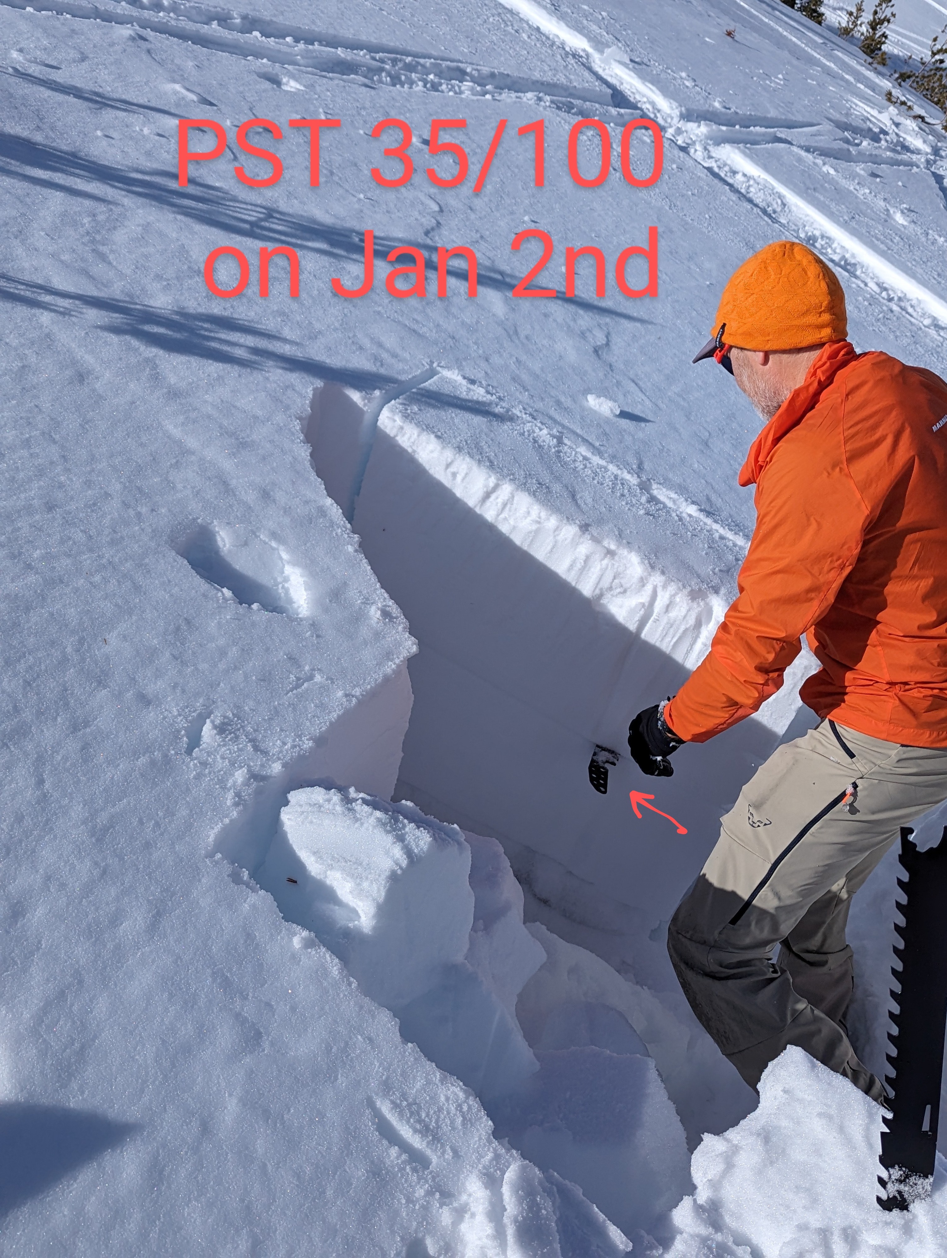
We stopped and dug a testpit on N aspect terrain in a location where the snowpack was relatively shallow. PST results indicated that the old Jan 2 layer and the top of the depth hoar layer were both capable of a propagating failure. The ECT indicated that initiation of weak layer collapse is very difficult to trigger at this time. A substantial new snow load would be required.
Moving over to the S side of the ridge, minor amounts of snow surface melt had occurred with still very ski supportable surface conditions. The snow surface remained supportable on all aspects up to our departure from the area at 11:15 am.
No signs of instability observed.Weather
- Air Temp
- 39
- Cloud Cover
- broken
- Wind Loading
- none
- Recent Snowfall
- 0
- Snow Avail For Transport
- none
Moderate speed SW winds over the ridgetops. Cloud cover was nearly 100% when we started out at 0900 and decreased to 75% by 1030.
Snowpack
Testpit at the screenshot location, N aspect, 9,760', NTL. HS right around 1m. Test results were ECTX, PST 25/100 end along the top of depth hoar layer (Dec 19), and PST 35/100 end on the remains of the Jan 2 layer.