
Quick report
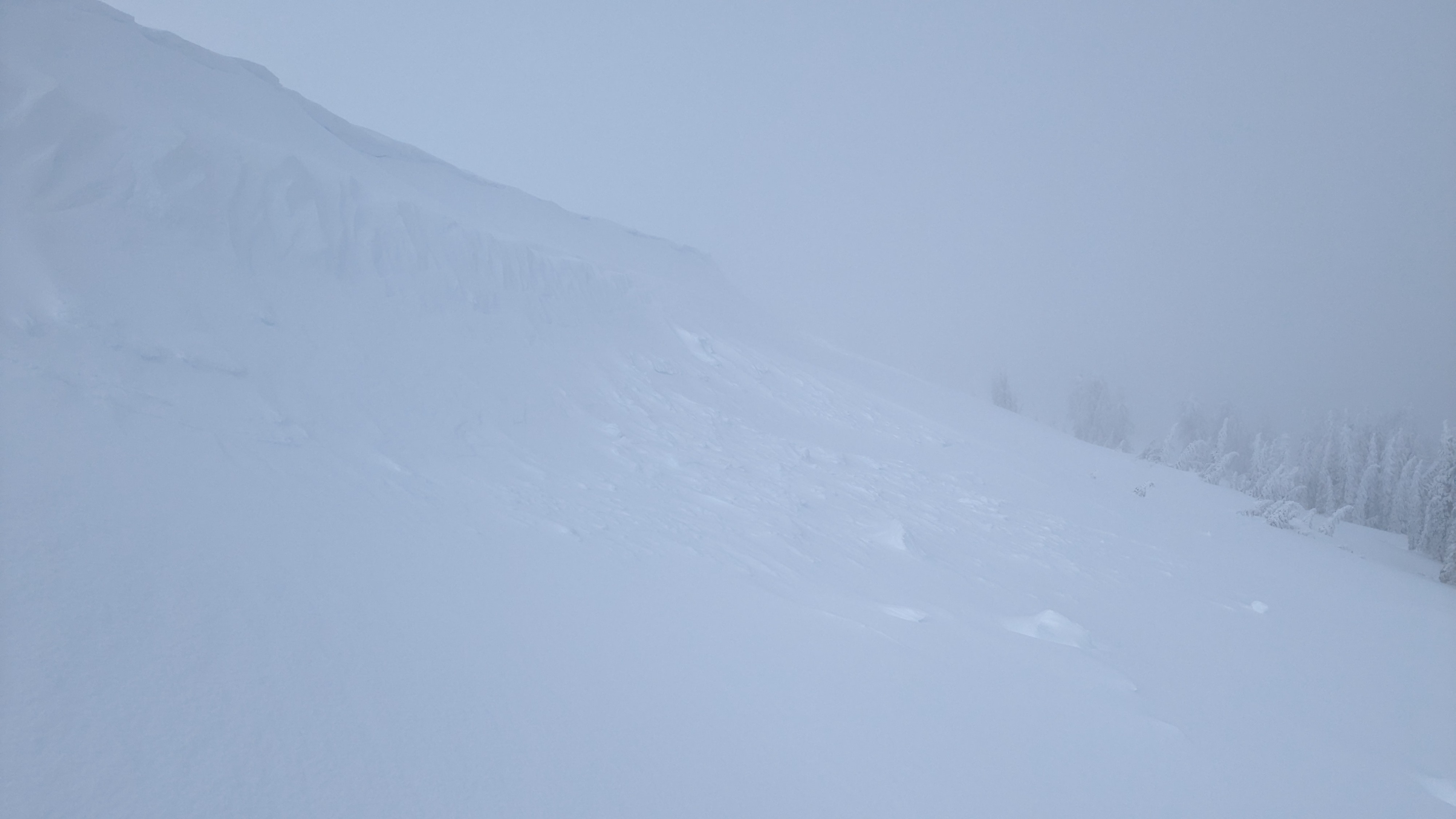
We toured up and over the Castle Peak - Basin Peak ridgeline today covering W-NW-N-NE-E-SE aspect terrain with a route plan that avoided direct engagement with avalanche terrain. Today's storm very much underperformed with generally light snowfall rates, very little wind, and rising snow levels. We kicked at cornices on a number of E, NE and NW aspects and did not trigger wind slab failures, only sluffs. We did see one natural D1 wind slab that was fresh from this morning. The new storm snow from the past 48 hours appeared to be bonding well to the crust below it and to the thin new rain crust within it from yesterday afternoon.
Visibility was generally poor, but at times we had brief views of larger N to E aspect avalanche terrain to the south of Castle Peak and in between Castle Peak and Basin Peak. Aside from the D1 wind slabs we saw on the ridgetop, no other recent avalanches were observed.
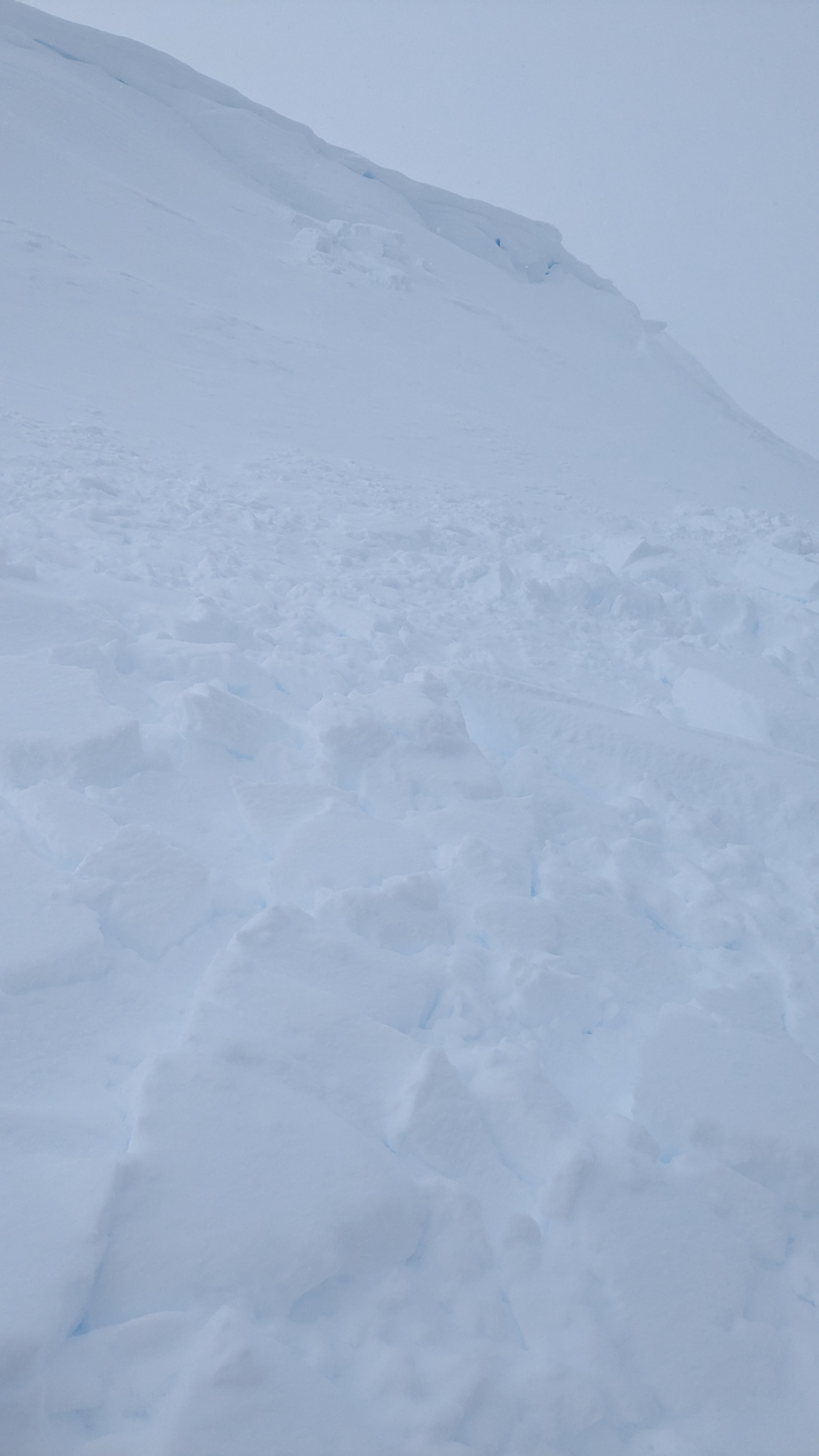
We observed one size D1 natural cornice collapse triggered wind slab on an ENE aspect at 8,700' and one older than 24 hrs D1 wind slab on an adjacent slope.Weather
- Air Temp
- 32
- Cloud Cover
- overcast
- Wind Loading
- light
- Rain Elevation
- 6,200 ft at 9 am, 7,600' at 3 pm
- Recent Snowfall
- 23 cm in past 24 hrs, 56 cm in the past 48 hours
- Snow Avail For Transport
- small smounts
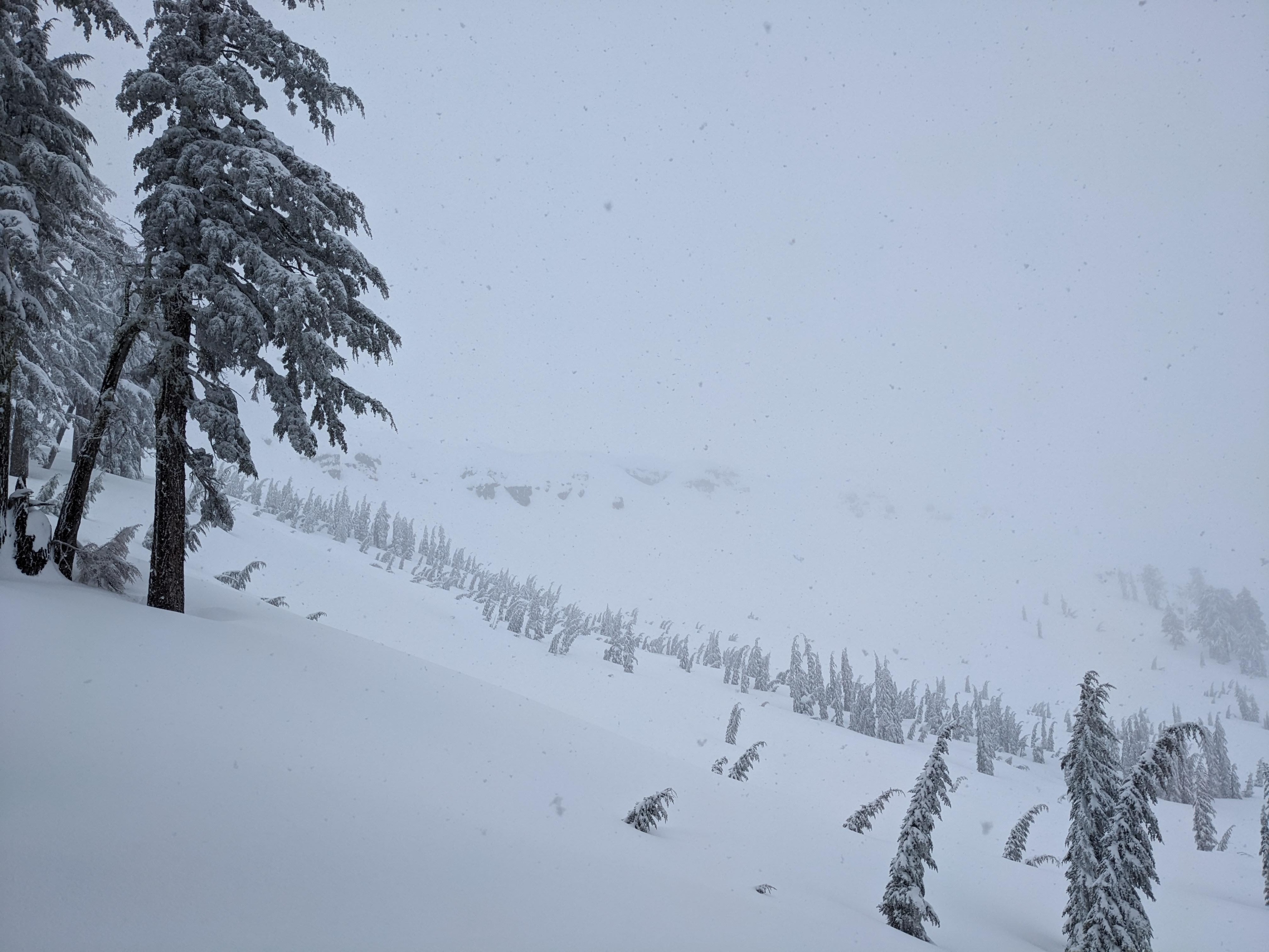
Cloudy, foggy, warm conditions. Snowfall rates generally at well less than S1 with occasional 15 to 20 min spikes to S2. Very little new snow accumulation in this area between 9 am and 3:30 pm.
Snowpack
There is a thin, new rain crust at mid height within the recent new snow from the past 48 hours. We saw no faceting around this crust or at the rain crust below it that was the old snow surface pre storm. The Jan 2 PWL buried 150 to 160 cm at our pit location (W aspect, 8,420' near treeline) showed some signs of minimal reactivity, but the SH size here was just 4 to 6 mm, smaller than the more reactive 10 mm SH observed at other locations around the forecast area.