
Quick report
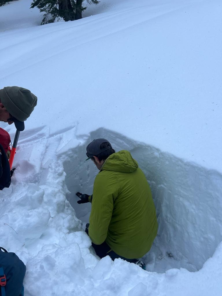
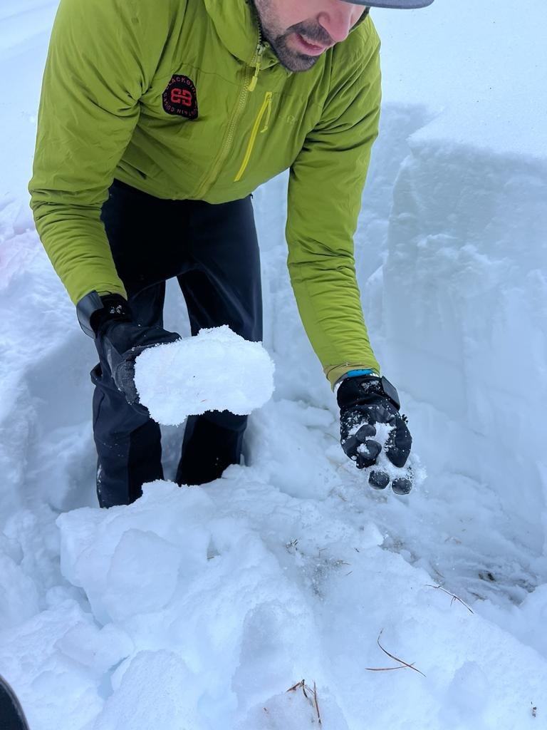
CT15 at 35cm, ECTP23 at 35cm. Lots of tree bombs and pinwheels that had previously come down and marred the surface of the snow. Snowpack tests are getting much harder to trigger, but still suggest instability remains. The layers of concern in this pit were not the basal facets, but the facets between the old crusts at about 35cm from the ground (70-75cm down from the surface).
Weather
- Air Temp
- above 0C
- Cloud Cover
- few
- Wind Loading
- none
- Rain Elevation
- above 8600'
- Recent Snowfall
- None
- Snow Avail For Transport
- small smounts
Few clouds, C-L wind from SW
Snowpack
Thin crust on the surface of the snowpack with about 20cm of faceted new snow below that sitting on the knife hard rain crust from the most recent storm. Below that the snow grains were moist and the hardness varied between 1F and 4F with Fist hard facets at the very base of the pack.