

Quick report
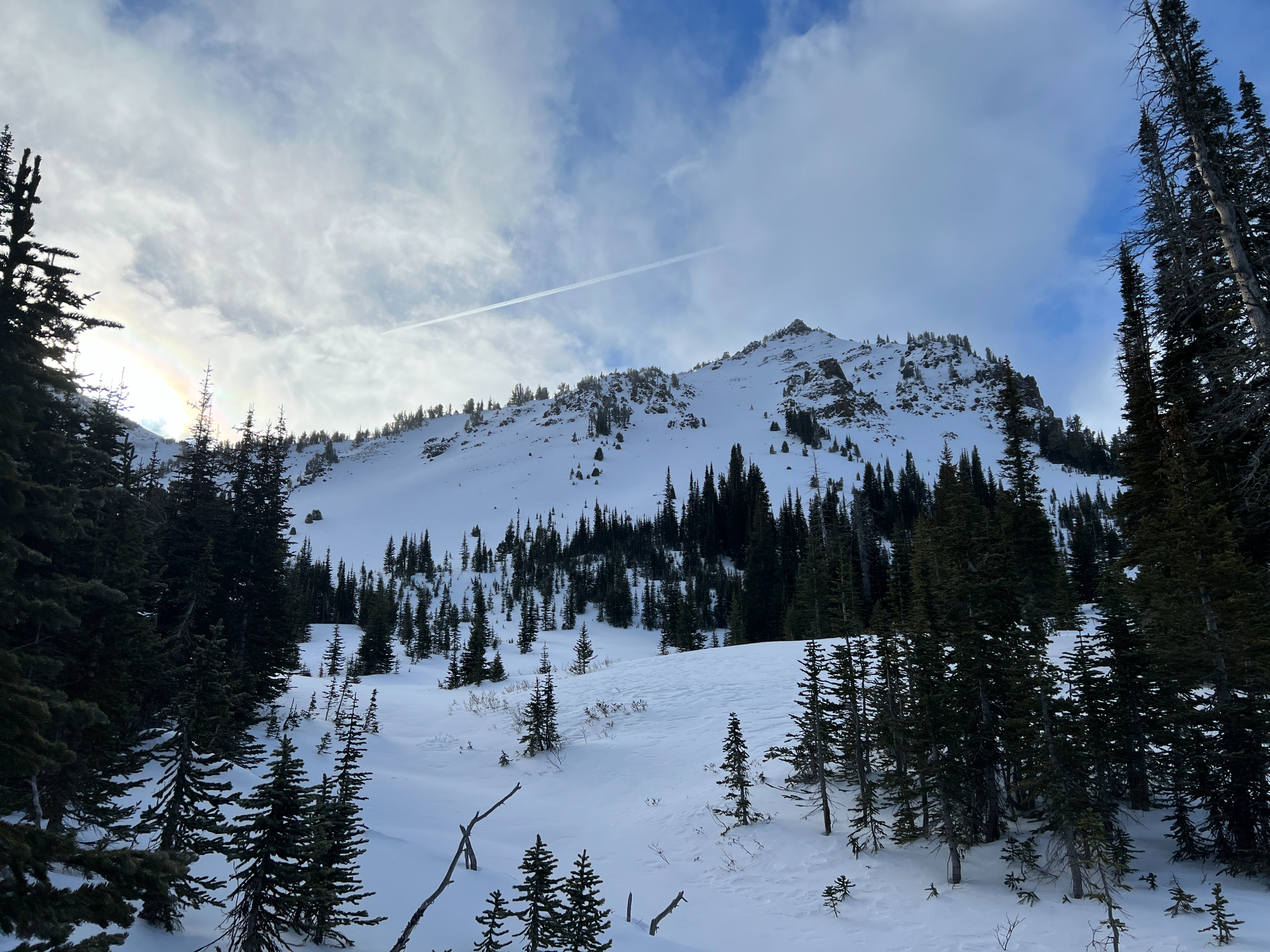
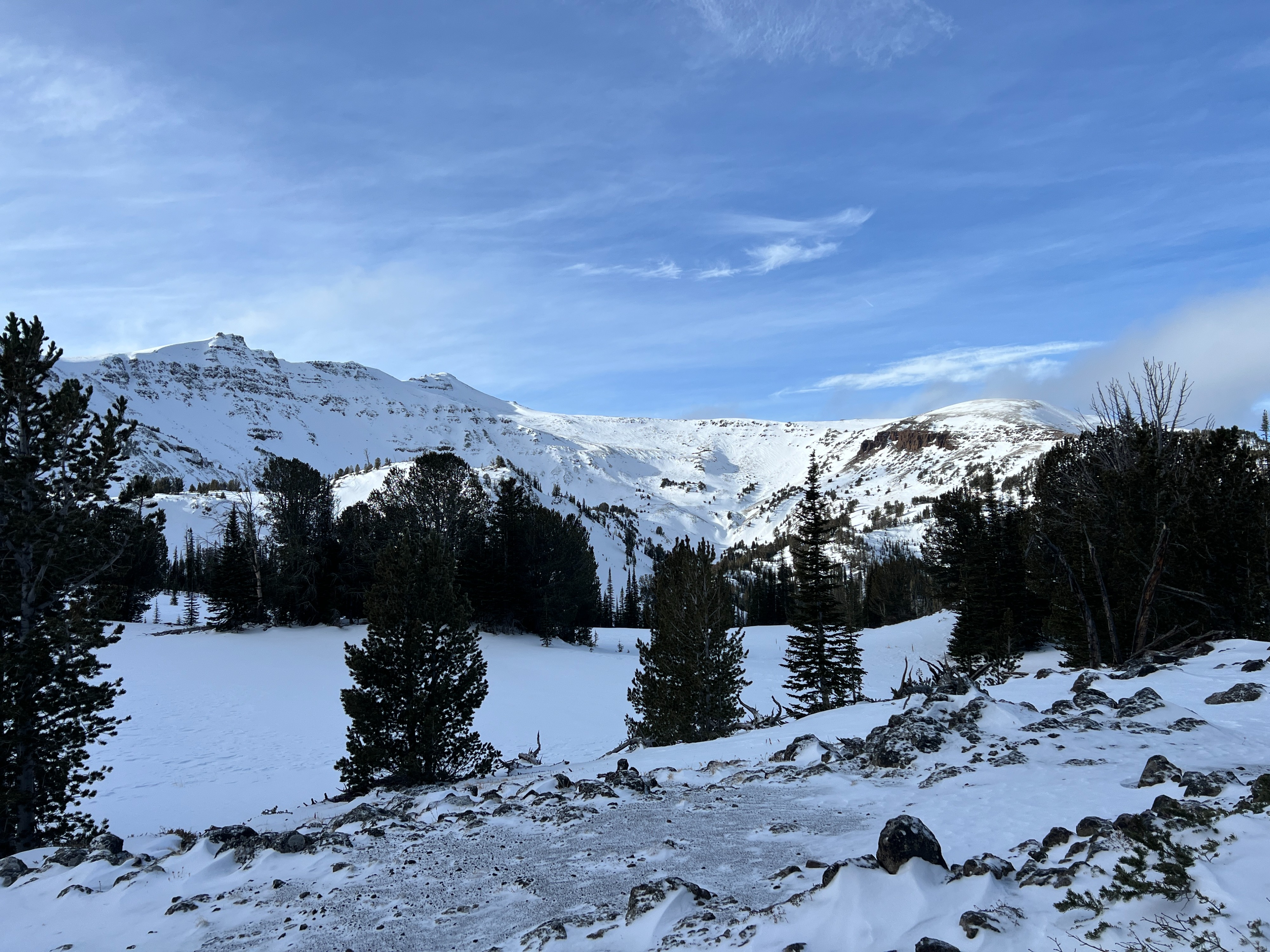
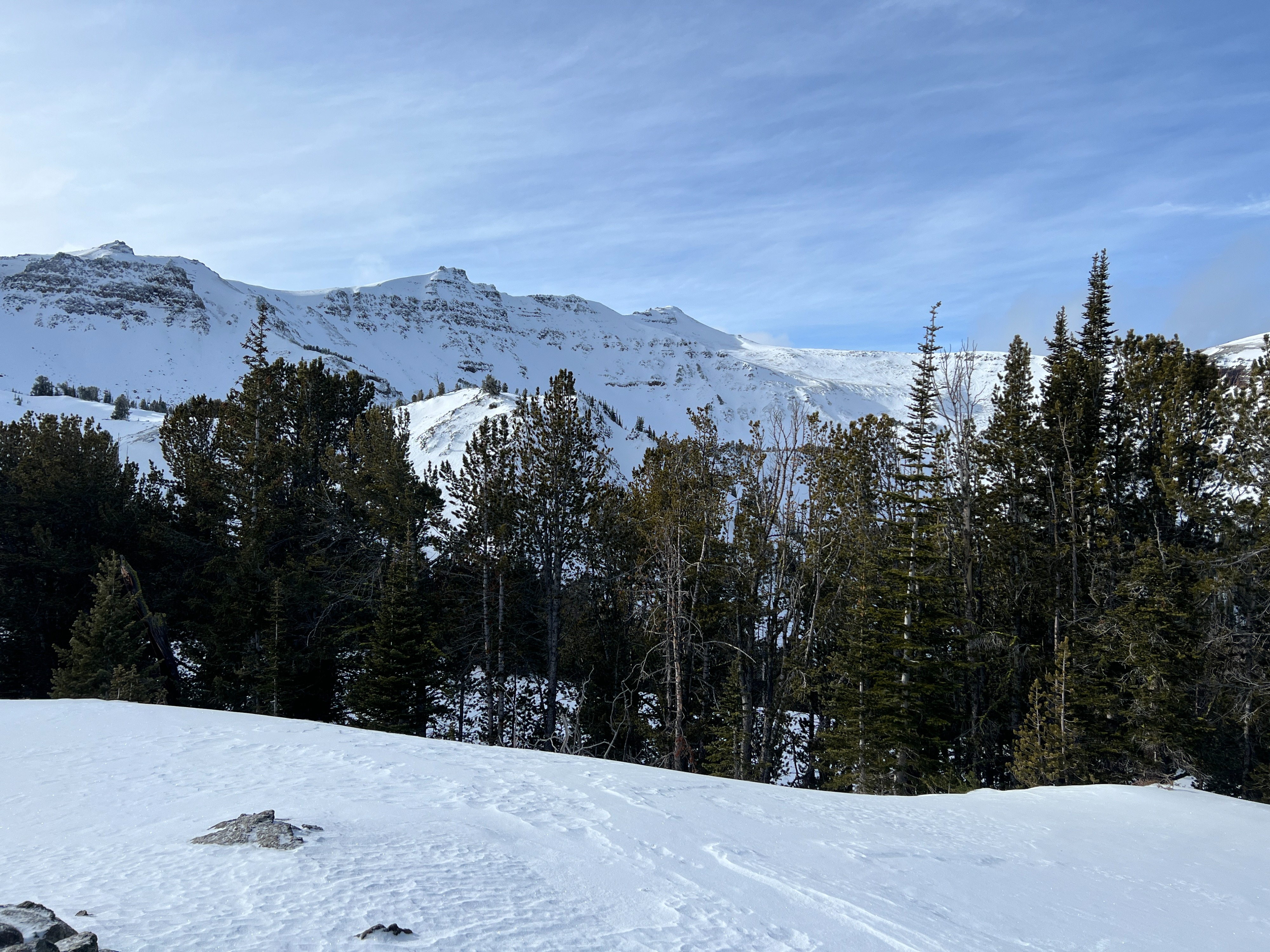
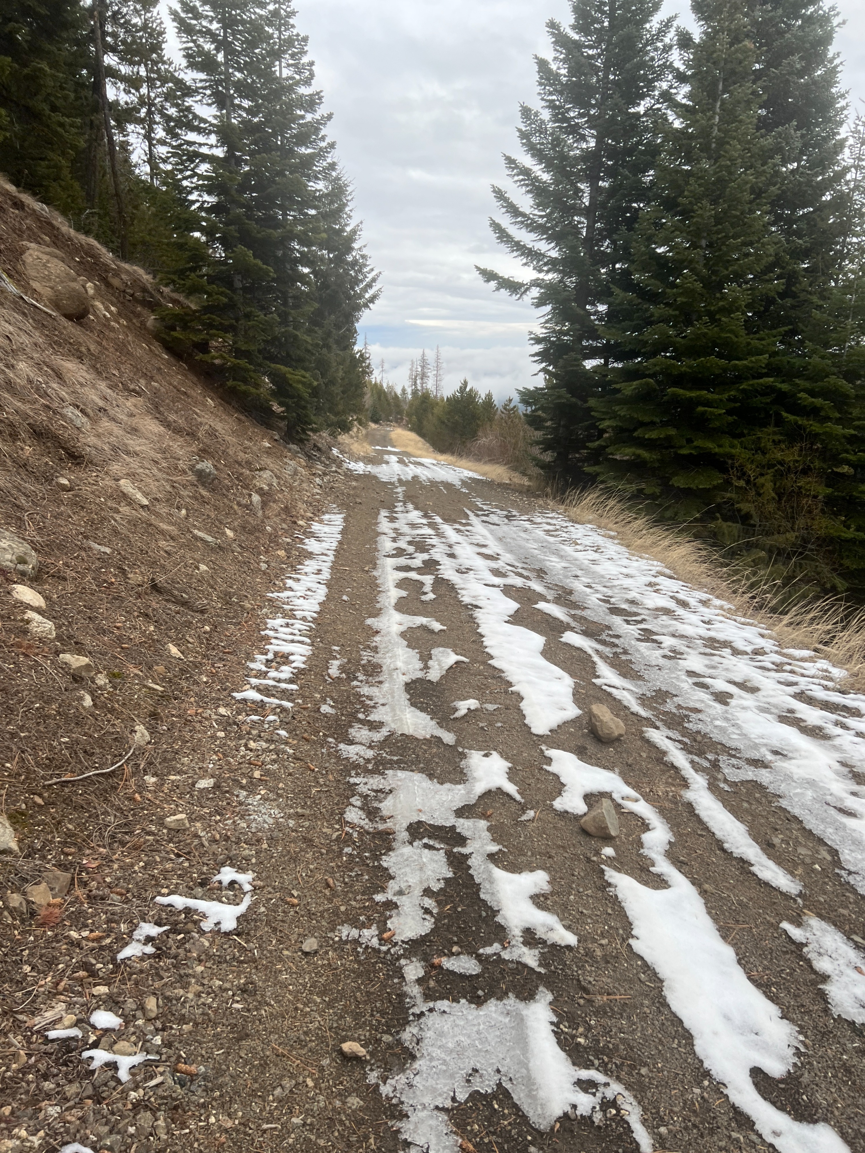
I toured up to McCully Basin this morning ahead of the incoming weather. I found sneaker travel the most efficient for the first three miles, then put my skis on. You guessed it... Crusts and Facets are out there. I traveled across MeltFreeze/Sun Crust and wind crusts. Softish snow (faceted surface) was found on shady and protected low-angle slopes. I avoided slopes steeper than 30 degrees. I found an average height of snow between 1.5 and 2 feet of snow above 7500'. The surface was supportive and made for easy travel in most locations. In shady protected areas where less of a crust was found, the tails of my skis would sink down a foot or so. I was able to link a few soft turns in low-angle terrain and that made me smile. Exiting McCully Basin on skis was... adventuresome below 7,000'. See below for snowpack obs.
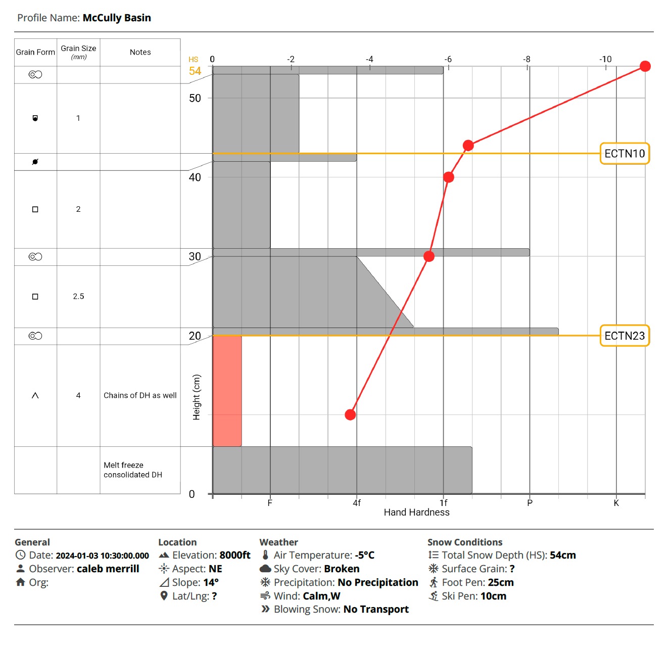
Poor Snowpack structure, but not much of a slab in this pit location.
Weather
- Air Temp
- 23
- Cloud Cover
- broken
- Wind Loading
- none
- Recent Snowfall
- Nil
- Snow Avail For Transport
- none
Nice morning above the valley fog. Calm to Light wind out of the West. Scattered to Broken skies.
Snowpack
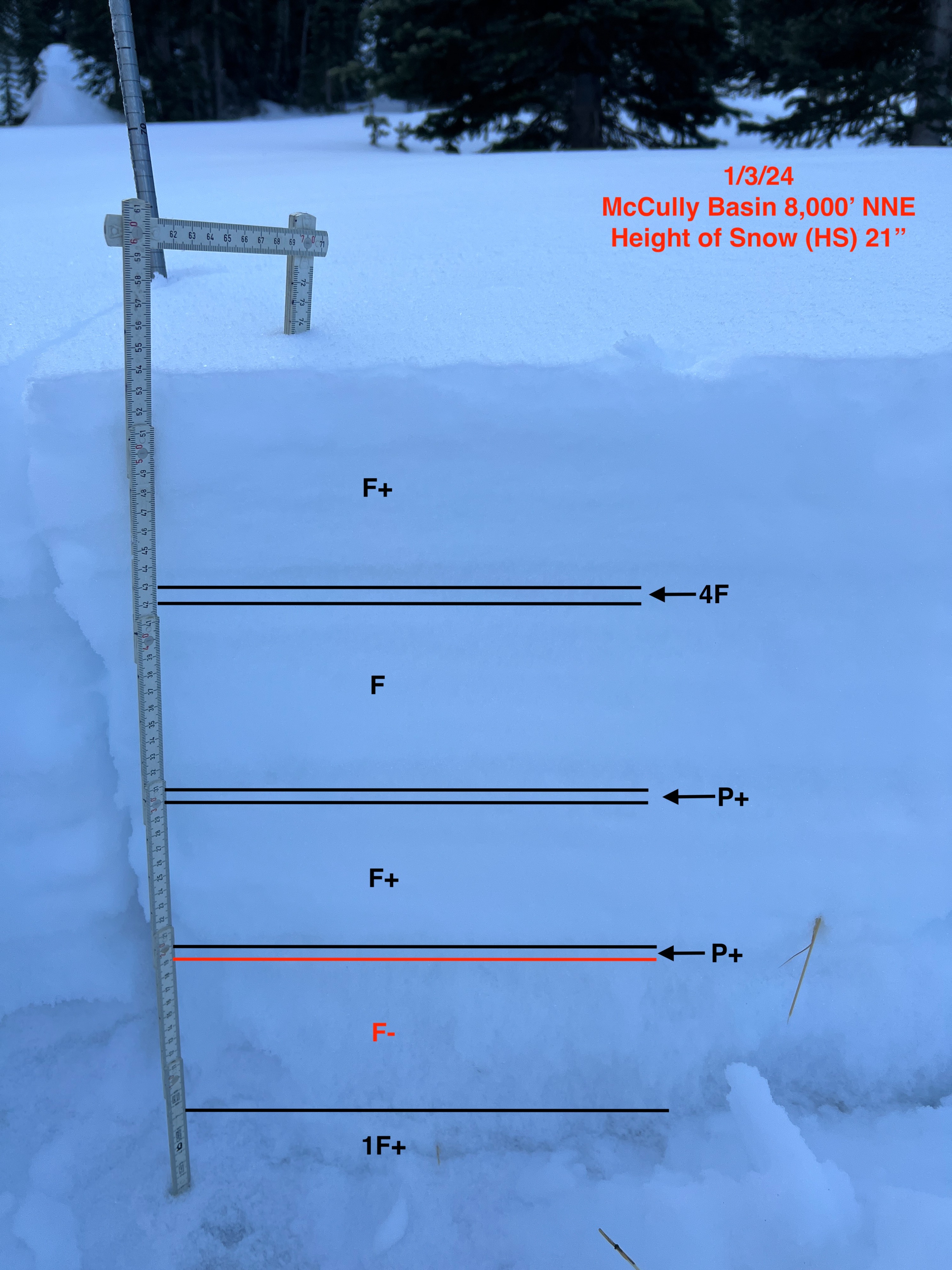
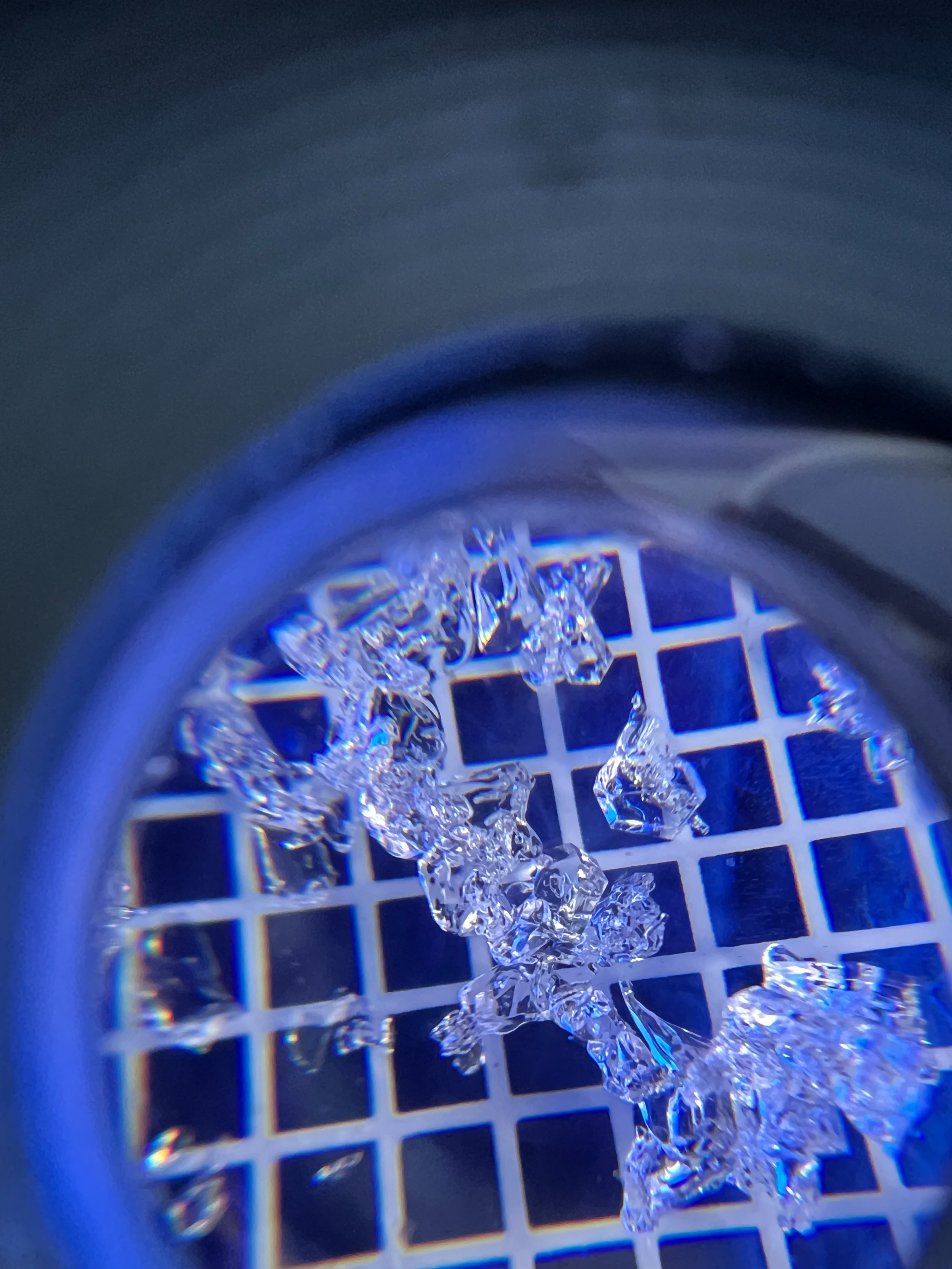
I dug a pit at 8,000 feet near treeline on a NNE aspect in the area of the Diamond. Several Melt Freeze Crusts existed within the snowpack with mostly facets in between the crusts. The snow grains at the bottom of the snowpack are extremely weak, consisting of mostly Depth Hoar and Chained Depth Hoar. My extended column test did not propagate fully across the block just above these weak snow grains, but I think that is due to not having enough of a cohesive slab above them. I would be weary of locations that have more of a slab (likely from wind-drifted snow). When we put a load on this snowpack, I bet we'll see some avalanches.