
Quick report
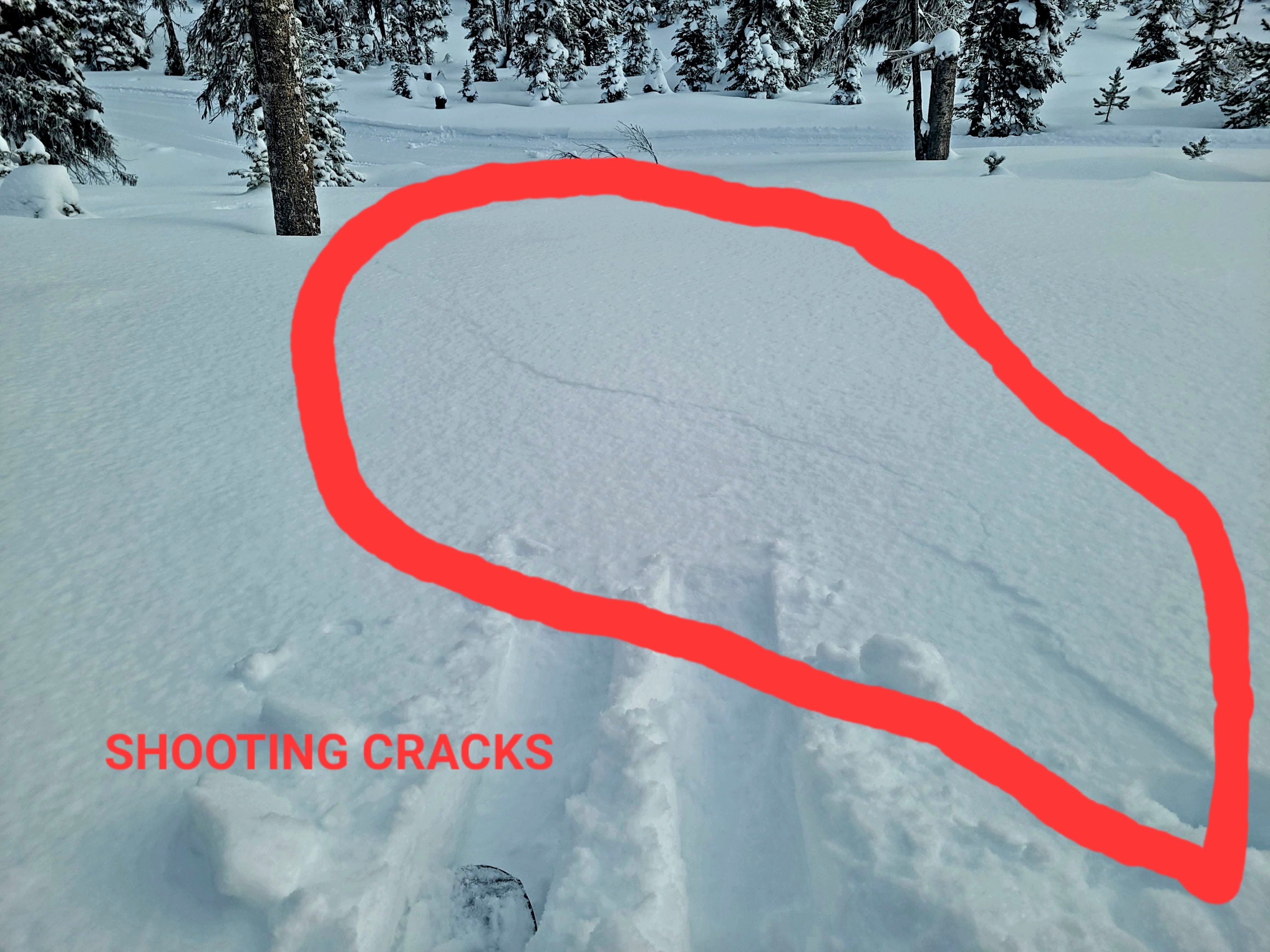
- Cracking
- isolated
- Collapsing
- widespread
The persistent weak layer is still the primary problem. It is getting buried deeper, amounting to larger consequences in the event of an avalanche. We observed widespread collapsing and whumpfing. We also observed a remotely triggered avalanche by two individuals on a South aspect.
Weather
- Air Temp
- 25
- Cloud Cover
- overcast
- Wind Loading
- moderate
- Rain Elevation
- N/O
- Recent Snowfall
- light graupel for about 10 minutes around 2 pm
- Snow Avail For Transport
- small smounts
From the weather forecast we expected temperatures around 35 degrees, but at that elevation it remained below freezing. Winds were not as strong as predicted.
Snowpack
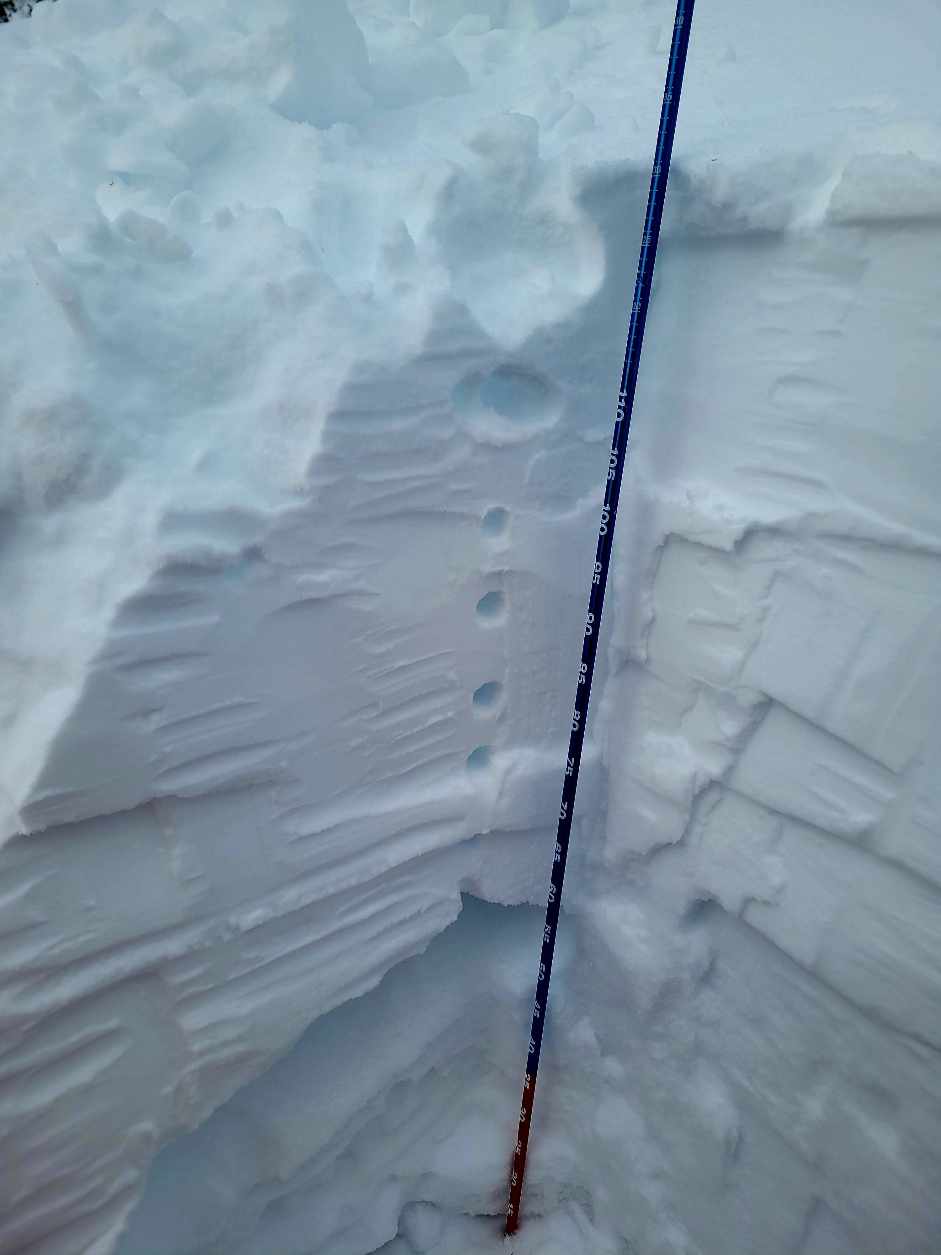
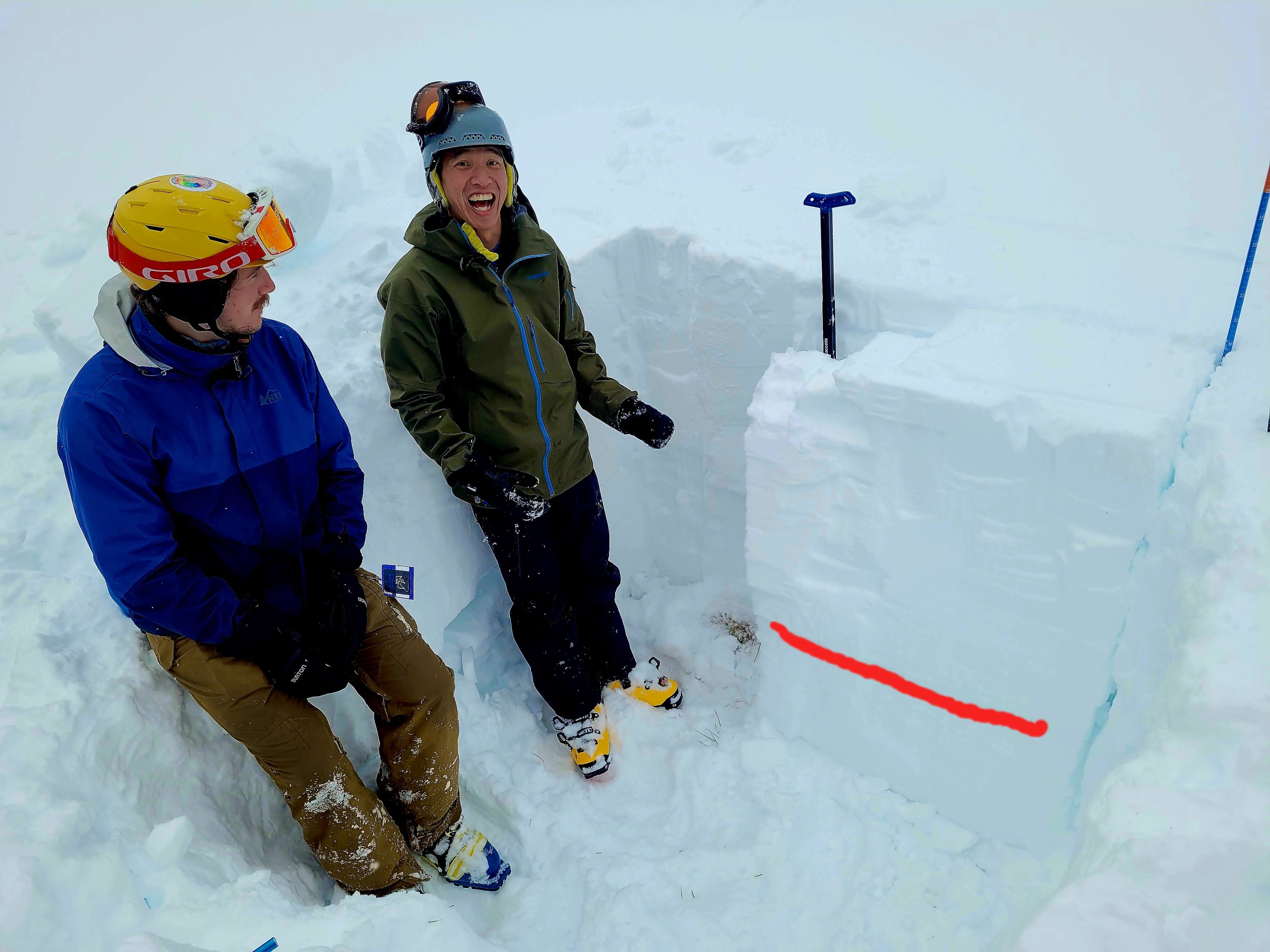
Time of day 13:20 Snow depth 130 cm Slope angle 23 Temp 25 F Aspect SSW CT20 SP down 75 cm from surface on buried surface hoar ECTP26 down 75 PST 50/100 END down 75 Others experienced fracture upon isolation of small column as well as fracture upon isolation of ECT
Avalanche
- Size
- D2
- Aspect
- NE
- Trigger
- AS
- Elevation
- 8000 ft
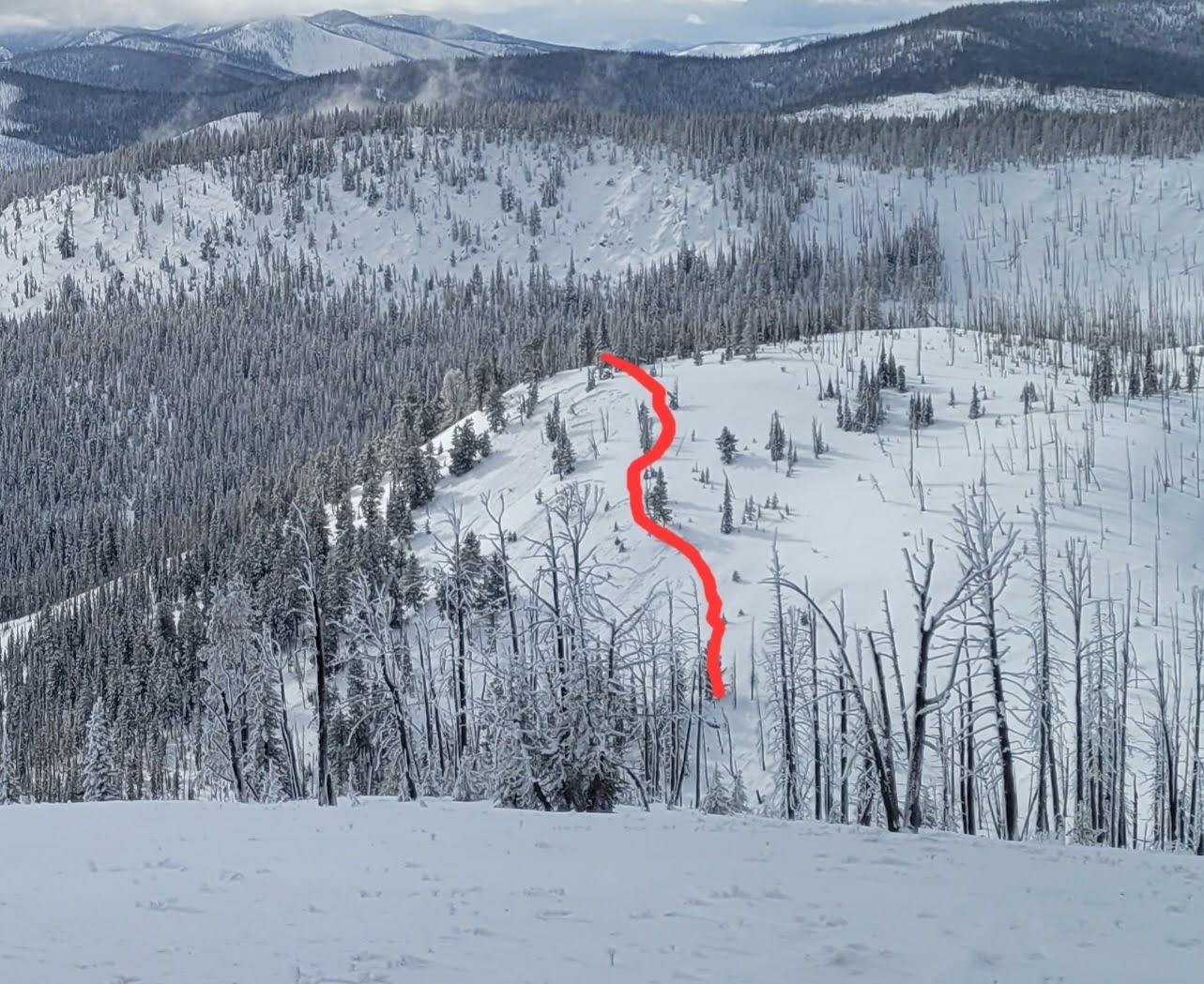
We skied down a slope just west of Ridgeline Yurt. When I got to the bottom i looked up at the slope across the drainage (to the west) I saw an avalanche start, at approximately 12:05. The debris moved pretty slow, and then propagated back up the slope and triggered 2 more slides on connected slopes. I quickly put skins on, skied over and did a beacon search, receiving no signal. Skinning back up the slope we skied down I could see there were no tracks going in to the path. Based on timing I think I remote triggered it. I was 120 meters from the toe of the debris when the slide started. The slide ran around 110m vertical (based on map, i did not skin to the crown), and the debris stopped about 20m up from the bottom of the slope. The thickest debris was around 50cm, but mostly less than that. Probably a D2.