
Quick report
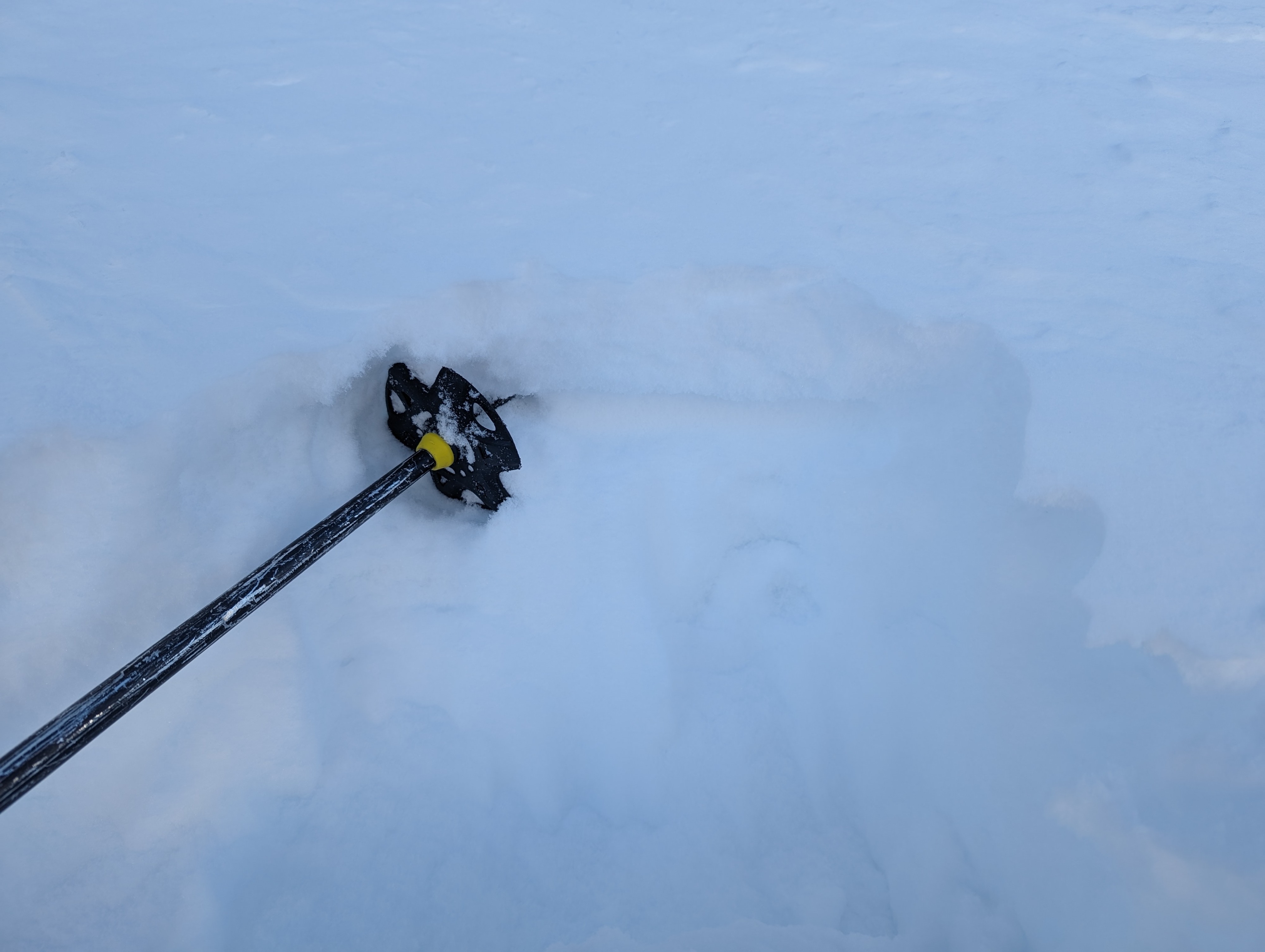
Friday and yesterday's ski penetration has really gone down as the storm settles out (45 cm to 30cm at 4000'). Notably, easterly winds BTL have sculpted various shapes in the snow, but only on true, due east aspects that are in the open. There is a decomposing crust/facet layer from sometime when the Jan 8/9 warmer storm gave way to the cold snow on Jan 10/11. It is somewhere 15-40 cm down depending on whether you're at 2200' or 5000'. At higher elevations above 4000', it's more of a wet snow density change than a crust. There is weak snow below the storm interface, either way. Near surface faceting on N/NE/E and surface hoar has formed in sheltered BTL locations away from the wind. In wind affected easterly areas NTL, a series of small 10-20cm wind slabs have formed and have buried small grained facets. Right now, skiing is great, but the setup of widespread weak snow following the January Arctic air blast will be in play as soon as the W-Fr storm hits with another inch plus of water.