
Quick report
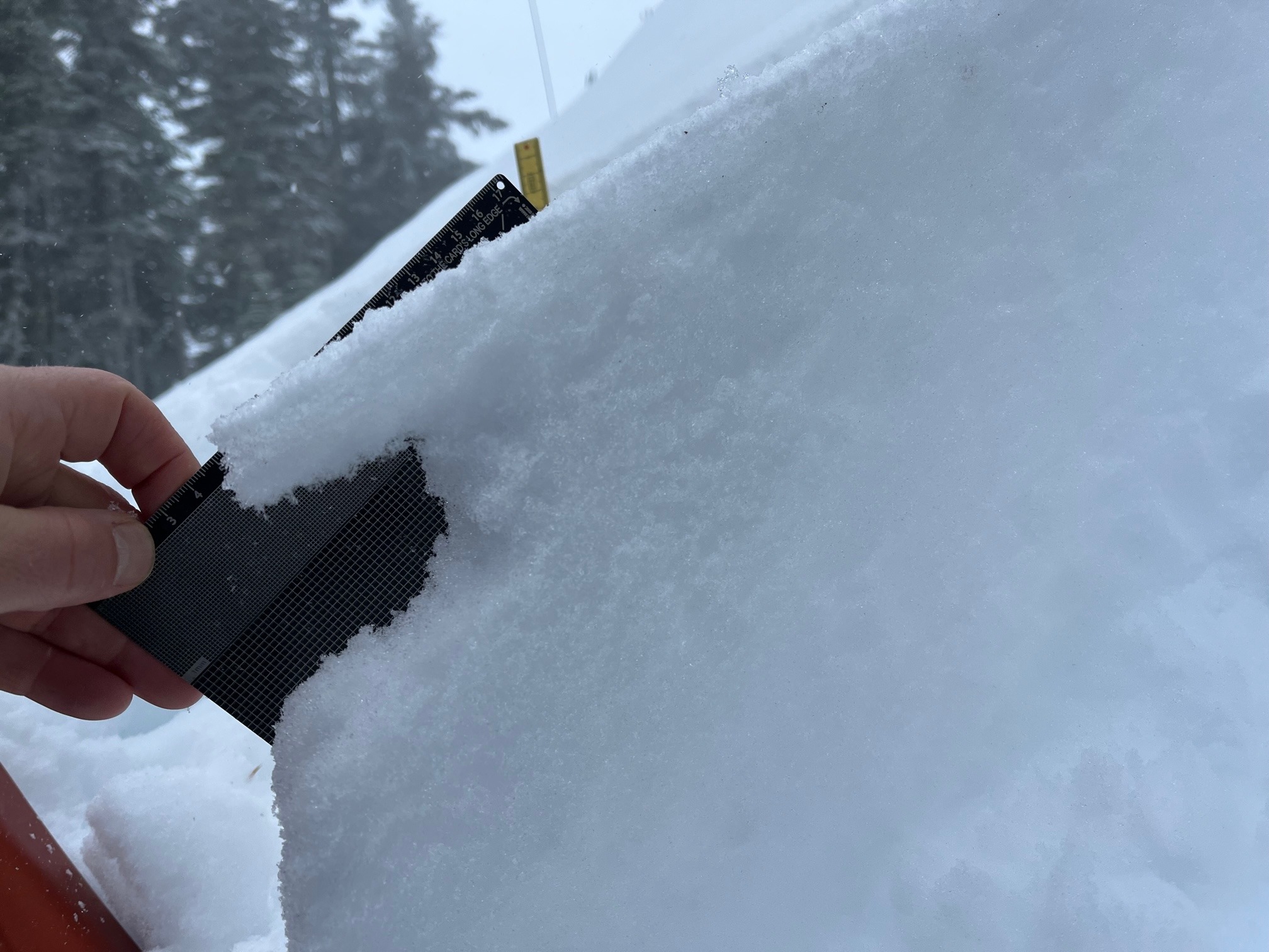
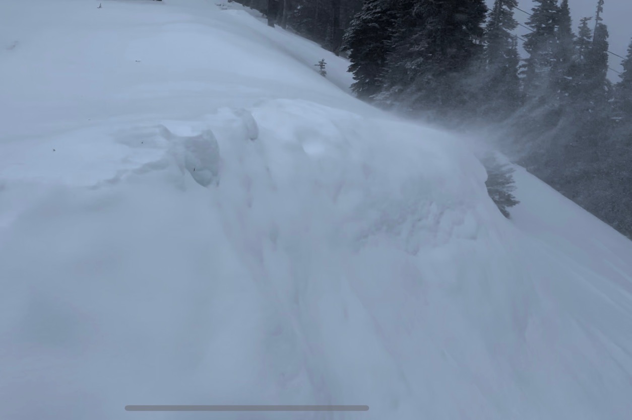
Precipitation started as rain up to about 5,000ft by 9am, and slowly changed over to heavily rimed snow, then larger snow flakes by 11am. Winds were strong and drifting snow readily, though there wasn't much to move. In general it seemed like the new snow was bonding well to old surfaces, though some weaker snow beneath a thin near surface crust produced some minor cracking in wind drifted areas. The new snow was just starting to improve riding conditions by the time I left at 11:30.
Minor cracking where wind drifted snow was deeper than a few inches.Weather
- Rain Elevation
- 5000
Snowpack
Checked out a few different aspects in the low 5,000ft range looking for a layer of surface hoar on the thin crust that was just buried. Surfaces were moist in many places, especially below 5,000ft. For the most part the SH seemed to have broken down from the warmth, and I only found some small, flattened and decomposed pieces in a couple places. On N and E to ESE aspects I found the weakest snow beneath a thin near surface crust. On SE and S aspects the near surface crust was thicker, and there wasn't a weak layer to note beneath.
T10 was -1
T20 was -2