
Quick report
Observed minimal signs of instability while we traveled, but once we dug down we still found weak, junky snow surrounding the solstice crust. This low likelihood, high consequence structure kept us avoiding shallow areas and larger open slopes.
Weather
- Air Temp
- 30 degrees
- Cloud Cover
- obscured
- Wind Loading
- previous
- Rain Elevation
- 5000 ft
- Recent Snowfall
- 0
- Snow Avail For Transport
- small smounts
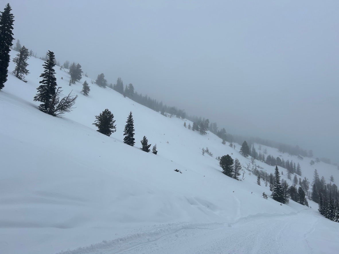
Gradual warming through the day. Around noon, we observed rime shedding off trees and moistening snow surfaces above 6000 ft. Poor visibility limited terrain observations along Darland Ridge.
Snowpack
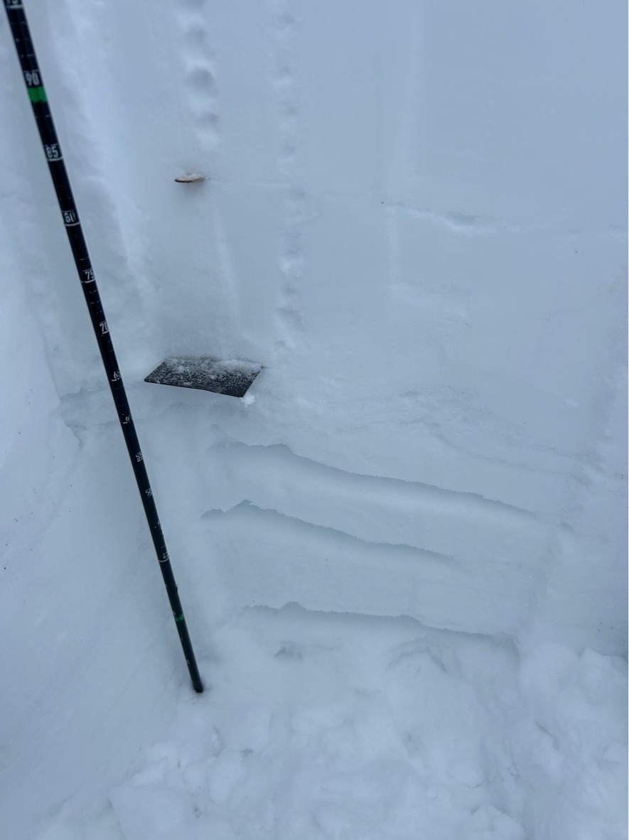
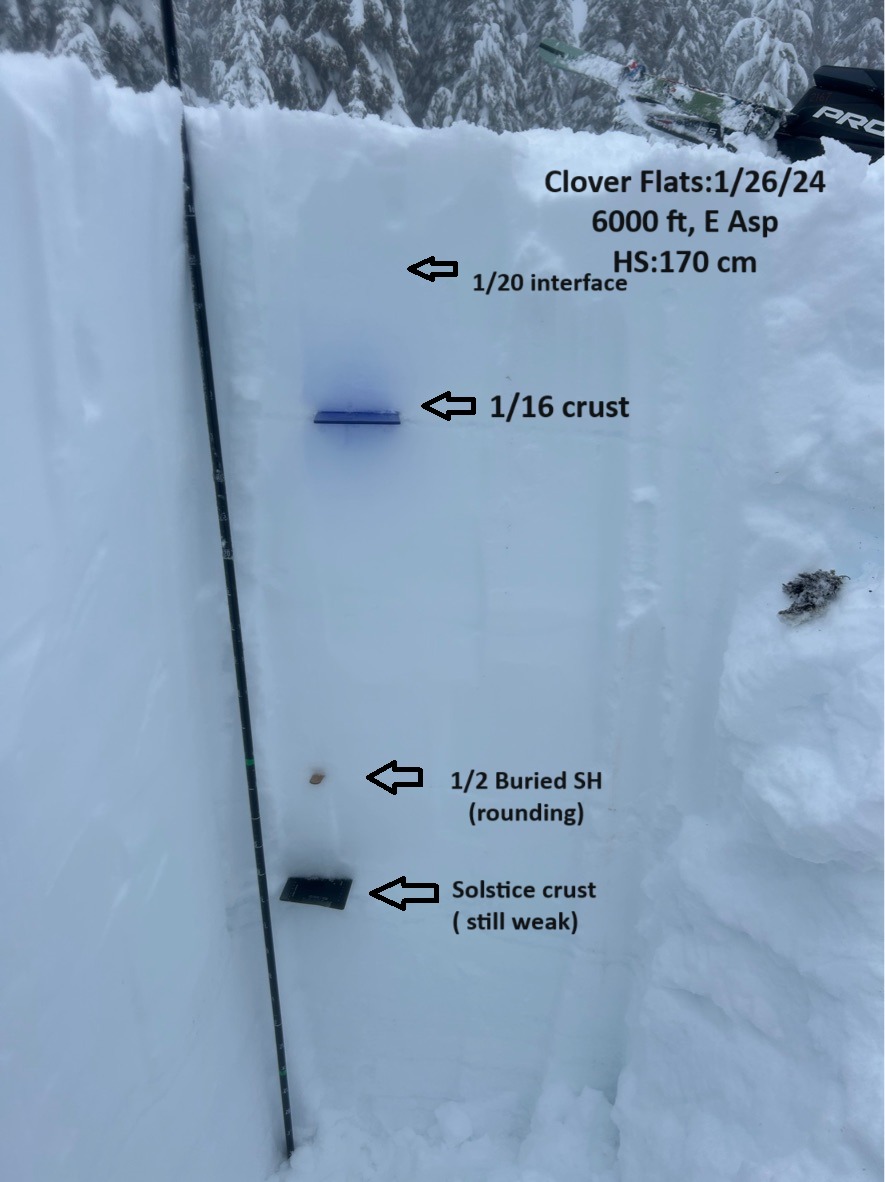
We were surprised to find a deeper HS than expected in the Darland Ridge area. On average we measured 150-200 cm deep snowpack above 5500 ft. This meant a lot of digging to reach the well-documented solstice crust and 1/2 buried surface hoar. Unsurprisingly, we didn't observe any notable results with snowpack tests since these layers exceed a meter deep. Due to time constraints, we didn't complete any PST's or Deep tap tests. However, the solstice crust remains junky and weak (4F hard), but shows signs of rounding and strength since my last visit in early January. The upper snowpack consists of several storm layers that produced planar results with shovel tilt tests.
Jan 2nd buried surface hoar (2 mm) sits approximately 6-8 inches above the solstice crust in this area and is rounding up nicely. We were able to easily spot this thin gray line with the naked eye, but ECTs failed to propagate on this layer ( a meter deep).
Overall, we observed a drier snowpack above 5500 ft. Below this elevation, the snowpack was wet and had undergone several days of above-freezing temperatures. South aspects are finally filling in and seeing some traffic. While digging on solar aspects, I failed to find the weak structure (solstice crust) I was finding on all other aspects.