
Quick report
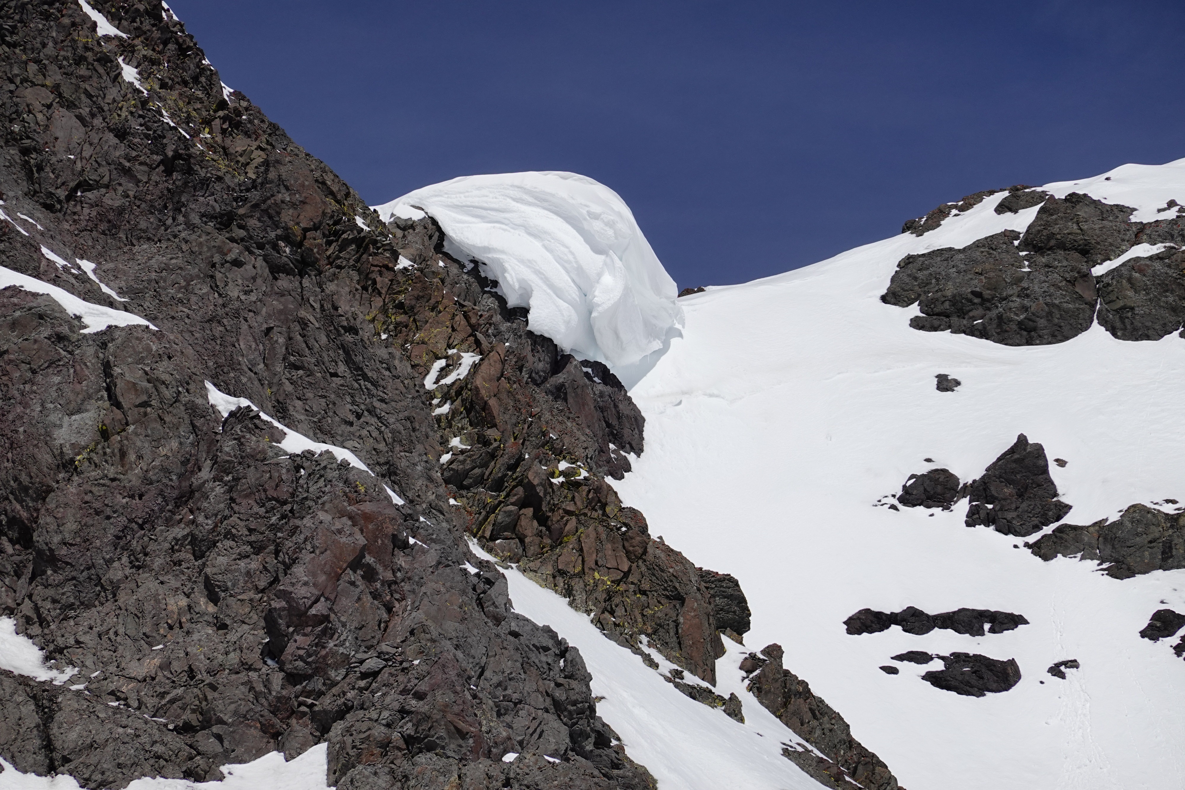
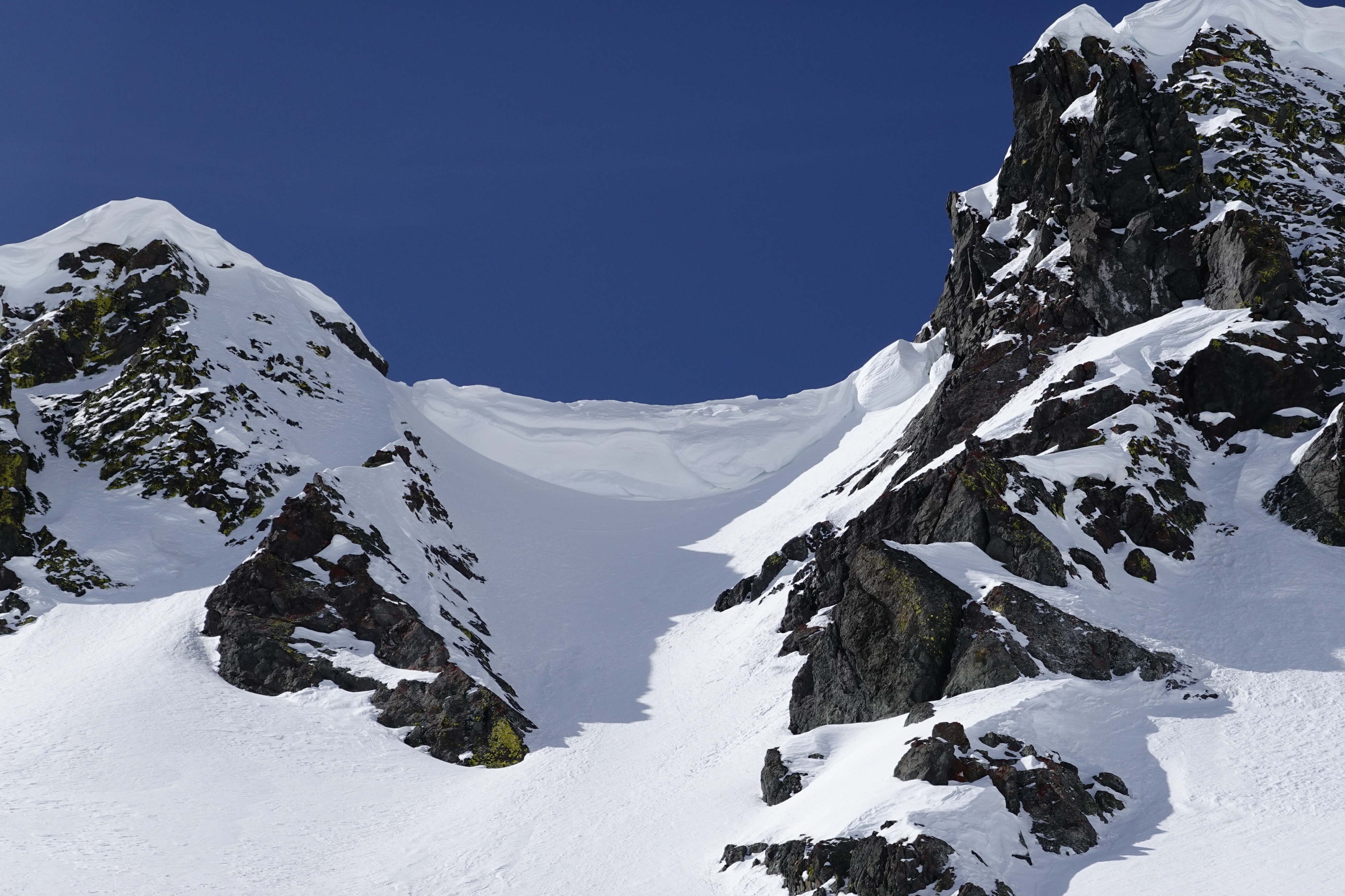
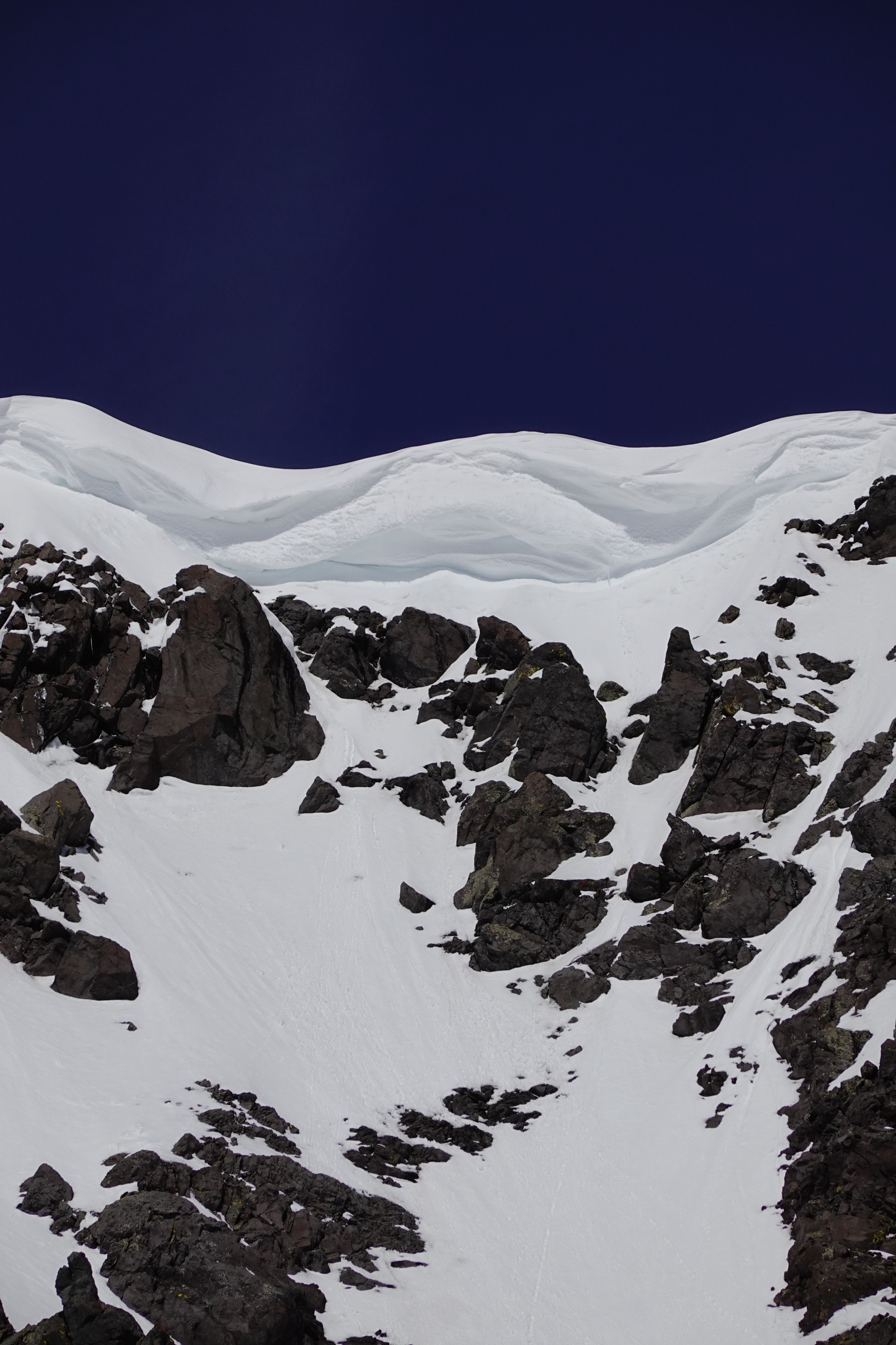
We found generally stable conditions today. Surface conditions were mostly firm but softened considerably where the sun was cooking the snow by midday. Despite the lack of avalanche activity and obvious signs of instability, we used the consequences of slips, falls, or small unexpected avalanches to help guide our route selection up and down today. We gave cornices a wide berth and were extra contentious of rapidly changing wet snow surfaces, especially of the snow above us while climbing.
We triggered rollerballs on actively warming snow surfaces but these did not run far or grow into sizeable pinwheelsWeather
- Air Temp
- Warm
- Cloud Cover
- few
- Wind Loading
- none
- Snow Avail For Transport
- none
Temperatures started at 20*F at the trailhead at 715am and warmed considerably by the time we returned. A mild inversion felt like it transitioned around 9k'. Consistent light S winds kept surfaces cool above 10k' in exposed areas.
Snowpack
Refrozen snow: We found firm refrozen surfaces all the way to the top (11k'). Consistent light S winds helped keep snow surfaces cool/frozen through noon above 10k' in wind-exposed locations. W, NW, and N aspects remained remarkably frozen even at 1230pm down to 8k'.
Wet snow: ESE aspects began to soften below 10k' by 930am. NE, E, SE, S, SW slopes that were sheltered from the wind softened by noon. Liquid water and moist snow was found 10-20cm below the surface on protected NE slopes by noon, but had yet to reach the 3/28 crust. Lower elevation moist snow surfaces were generally supportable to skis down to 7k' at 1230pm.
Dry snow: In protected locations above 10k', N aspects still held dry soft snow (~30cm above 3/28 surface) and pockets of thin settled wind slabs.