
Quick report
The most notable observation was a rapid change from no snow to full snow cover between 3800' and 4200'. The snowpack is still quite thin at 5000'. But there is enough consistent snow cover to allow for avalanches during and after the next storm.
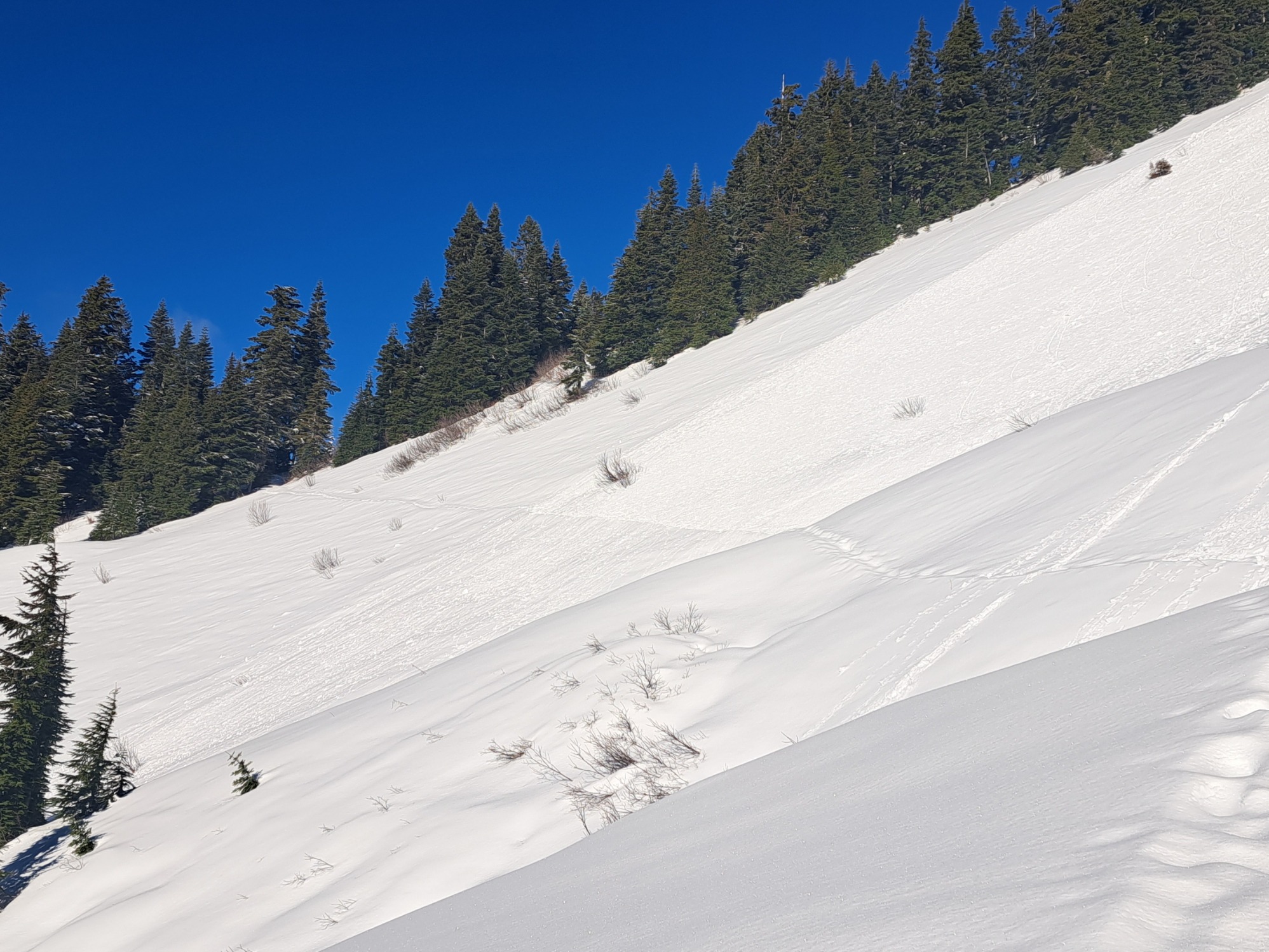
Rollerballs from the afternoon of Nov 23rd on southerly aspects.Weather
- Cloud Cover
- clear
- Wind Loading
- none
- Recent Snowfall
- Few
- Snow Avail For Transport
- small smounts
Clear and sunny with a light east wind at ridgeline. Noticeable temperature inversion. Limited new snow at this elevation to react to warming or to create fresh wind slabs.
Snowpack
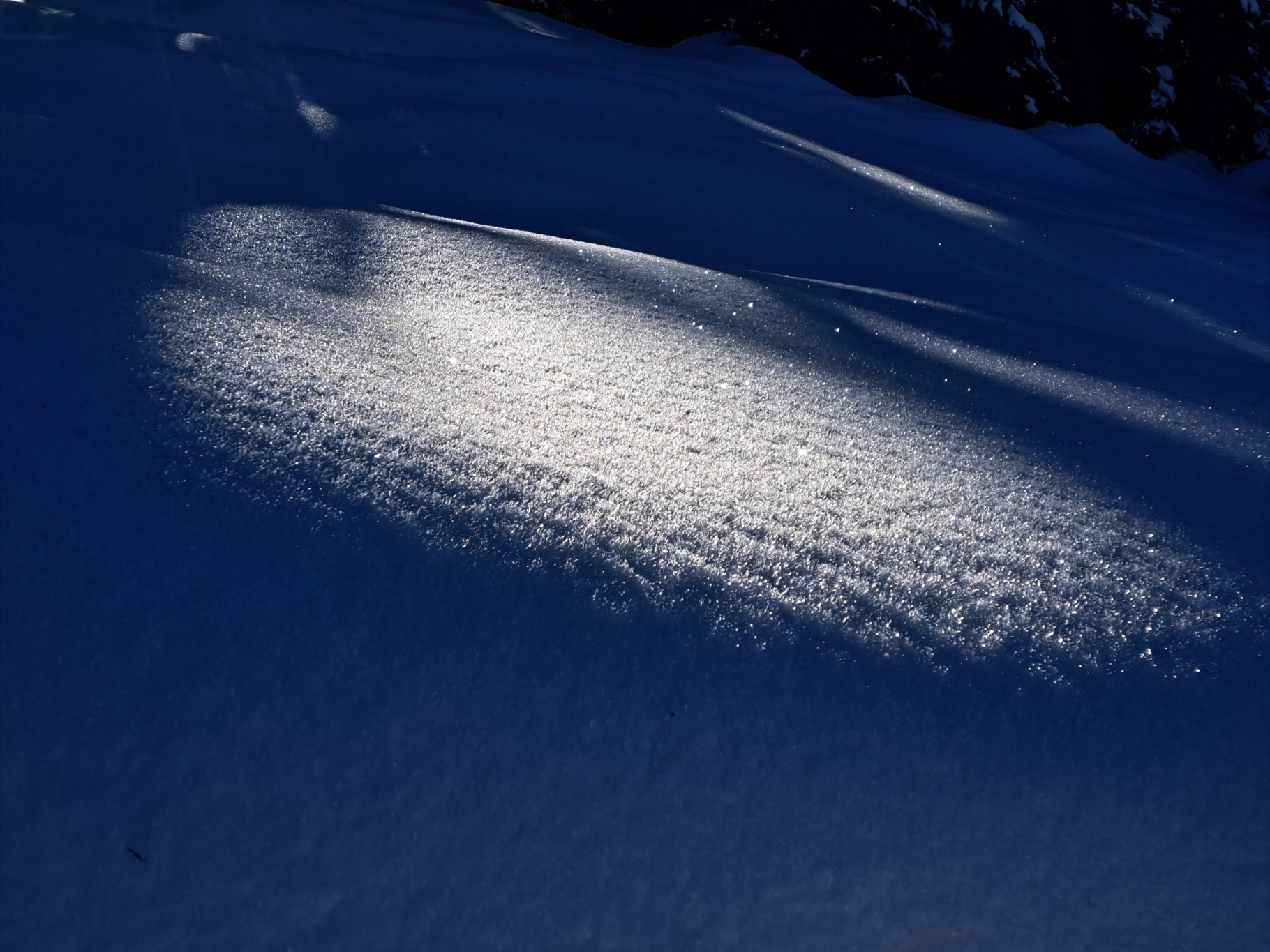
60-80cm HS at 5400' at Excelsior Pass. Alternating layers of thin melt-freeze crusts and dry snow (mix of rounds and small facets) with increasing layer hardness going from surface to ground. Sunny aspects held 40-60cm HS that consisted mostly of melt-freeze crust. Large surface hoar is growing and surviving in protected, shaded terrain.