
Quick report
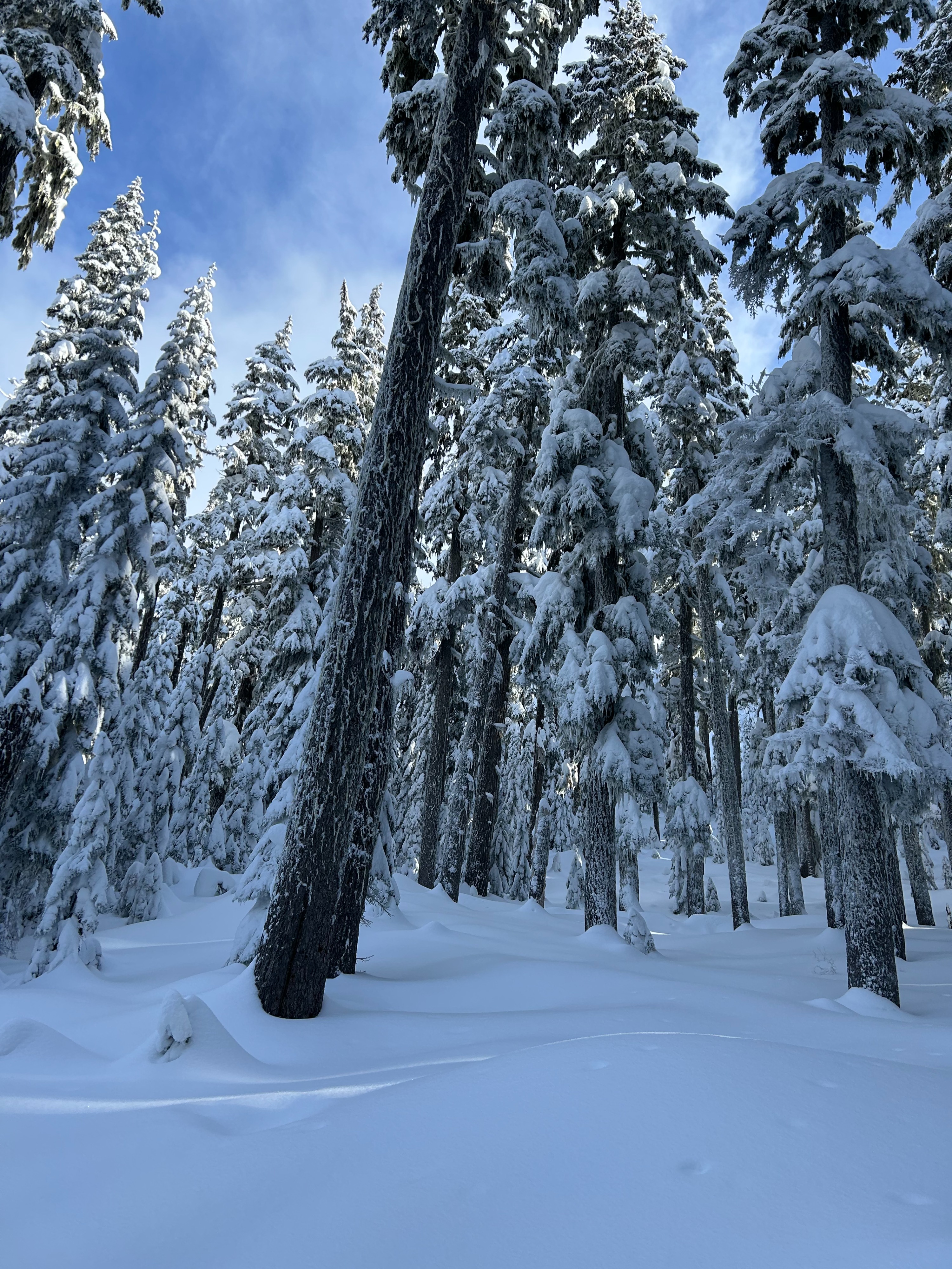
No wet loose issue today in Commonwealth basin from pass level to 4700. we stayed below freezing and in the clouds for the most part. No wind transport occurred where we traveled, winds were calm today in the basin. Small amounts of snow (4 inches) were sliding on the 1/20 freezing rain crust while skiing, could be a problem higher up if more than a few inches of snow fall tonight. freezing rain crust seems to be above 4400 where we traveled in Commonwealth, similar elevation to yesterday in alpental valley. Down in the trees the snow was very good. E flow keeping things cool in the pass proper.
Weather
- Air Temp
- 27-31
- Cloud Cover
- obscured
- Wind Loading
- none
- Rain Elevation
- 3000ft
- Recent Snowfall
- 5
- Snow Avail For Transport
- small smounts
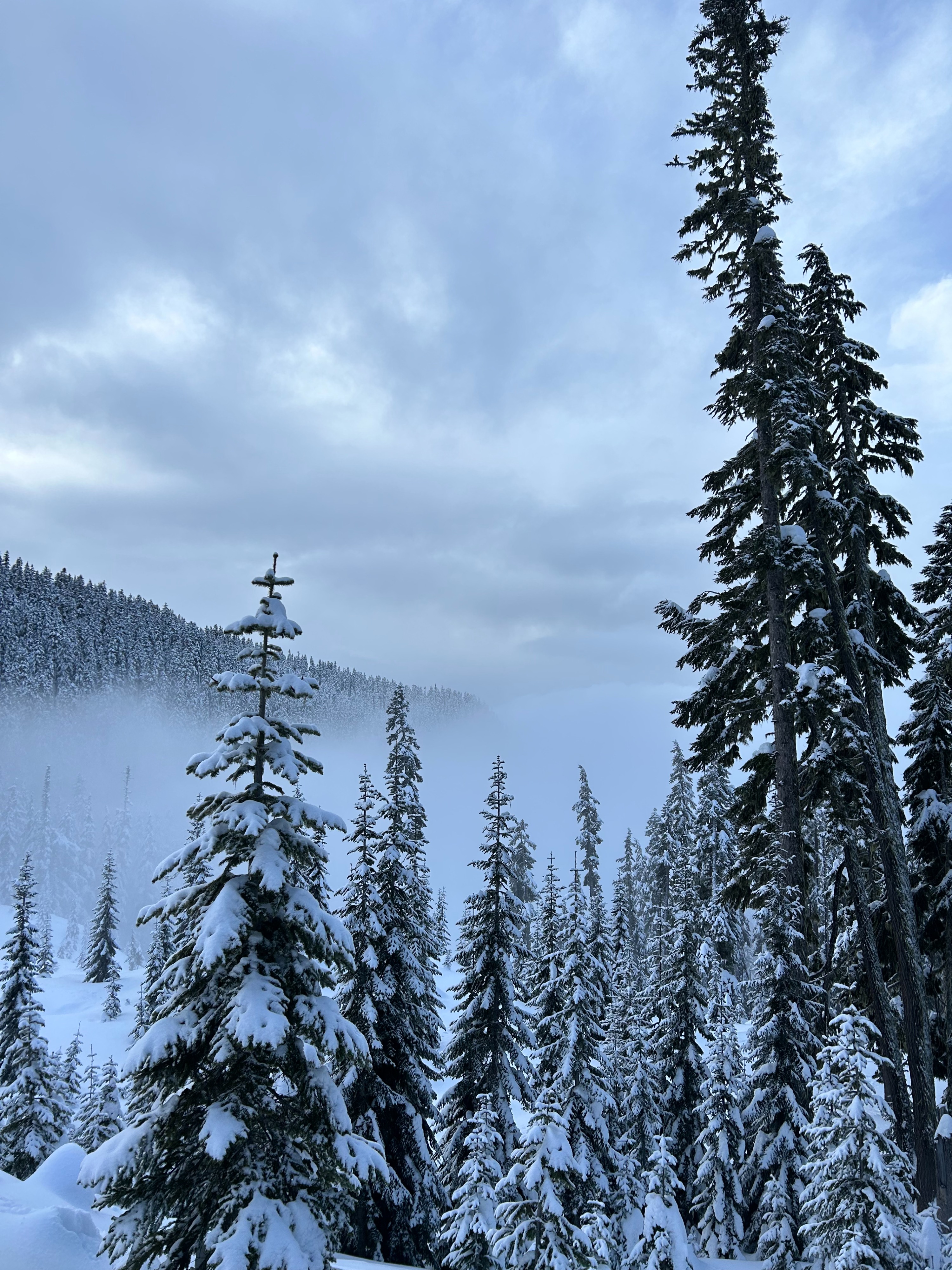
Colder in the morning with light snow and in the clouds at the pass (27F), slightly warmer later in the day, but we stayed right on the edge of the cloud layer most of the day traveling up to 4500ft. It did not go above freezing. Brief sun breaks from 10:30-11:30 in Kendall. Moderate snow started again at 1:00.
Snowpack
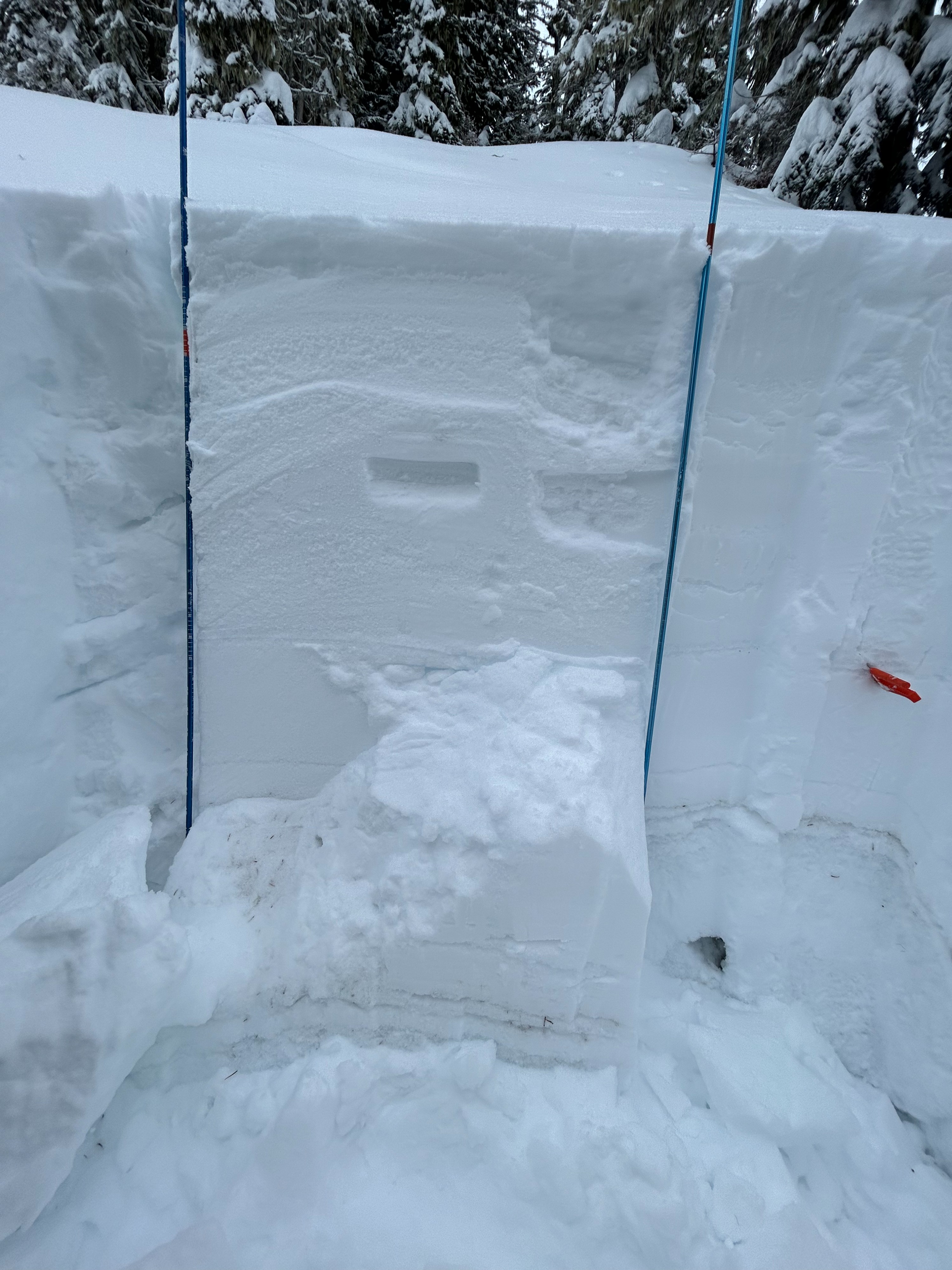
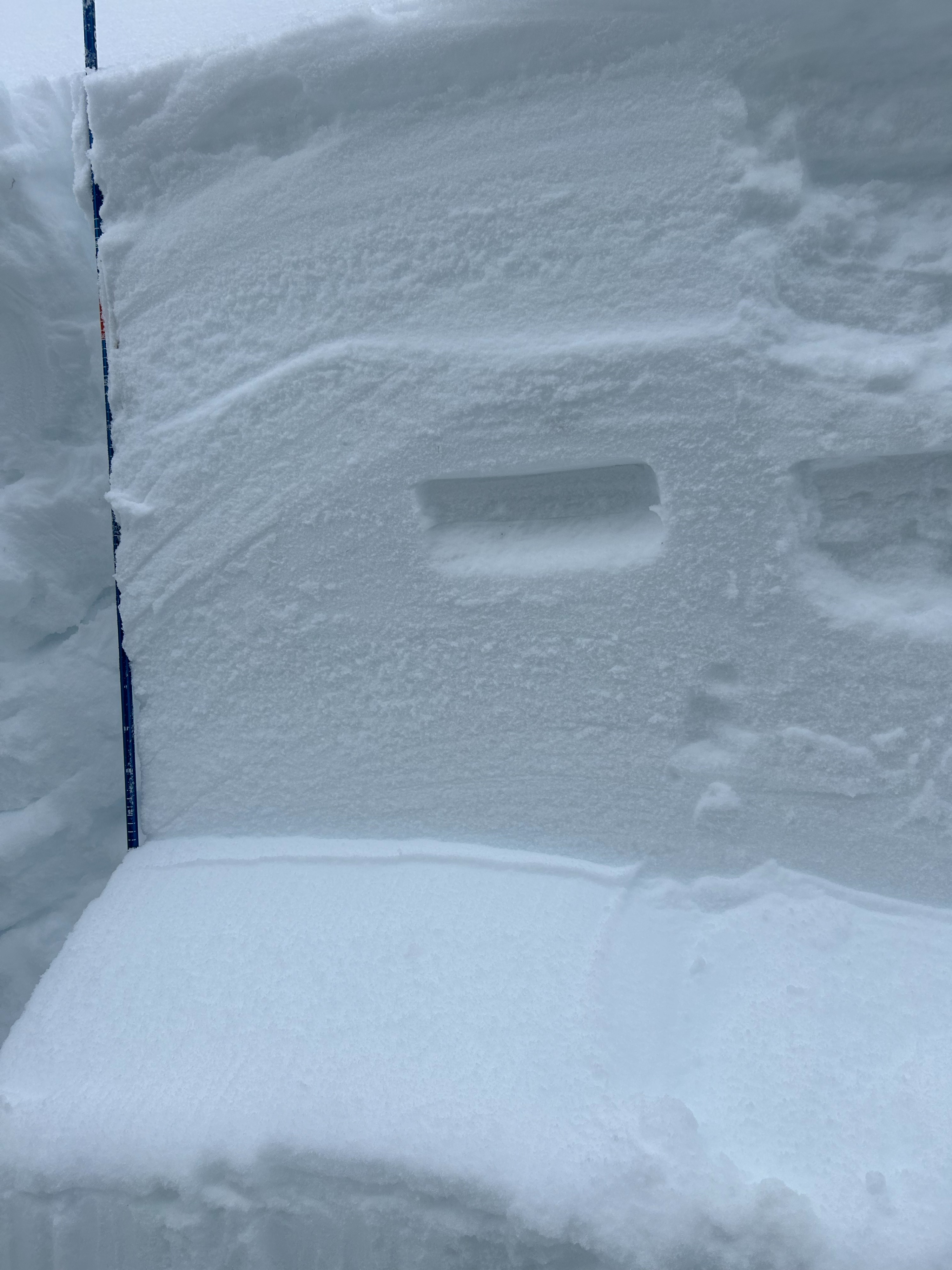
HS 185cm @ 4625ft. SE Slope 1/16 crust down 35cm 1/8 crust down 85cm solstice matrix down 125cm Performed ECT with no result, CT only result was on the upper mid storm layers/freezing rain crust from 1/20. Two PST on the 1/8 layer resulted in propagation to the end of the column Result (PST 25/115 End, PST 70/115 End). There are rounding facets at the interface. Inconclusive results as the layer did not fail in compression tests, but this layer seems like the most touchy at the moment. PST on the solstice matrix gave no result until very end of column was reached with the saw. hard to get this layer to move in tests today, required lots of force.