
Quick report
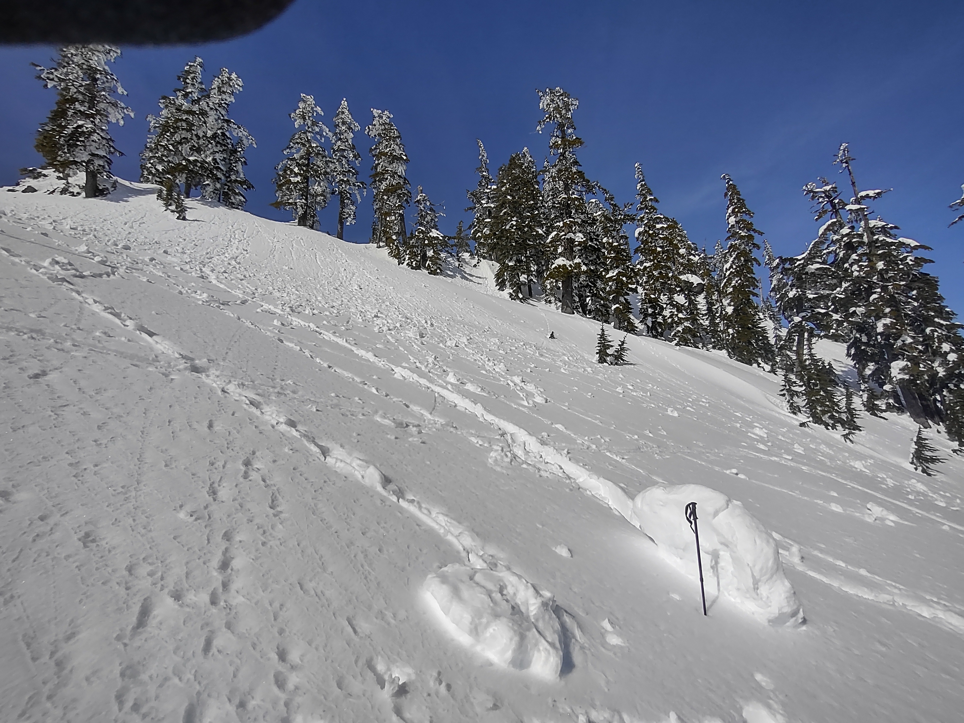
Morning started cool, but warmed quickly. Roller balls were observed as soon as 1000 am on sunny slopes, some aspects had a thin crust which had to soften first. Warming progressed to tree shedding and mostly small to medium size wet Loose avalanches after 12 pm. Lots of roller balls and wet Loose on southerly aspects.
Weather
- Air Temp
- 40
- Cloud Cover
- few
- Snow Avail For Transport
- none
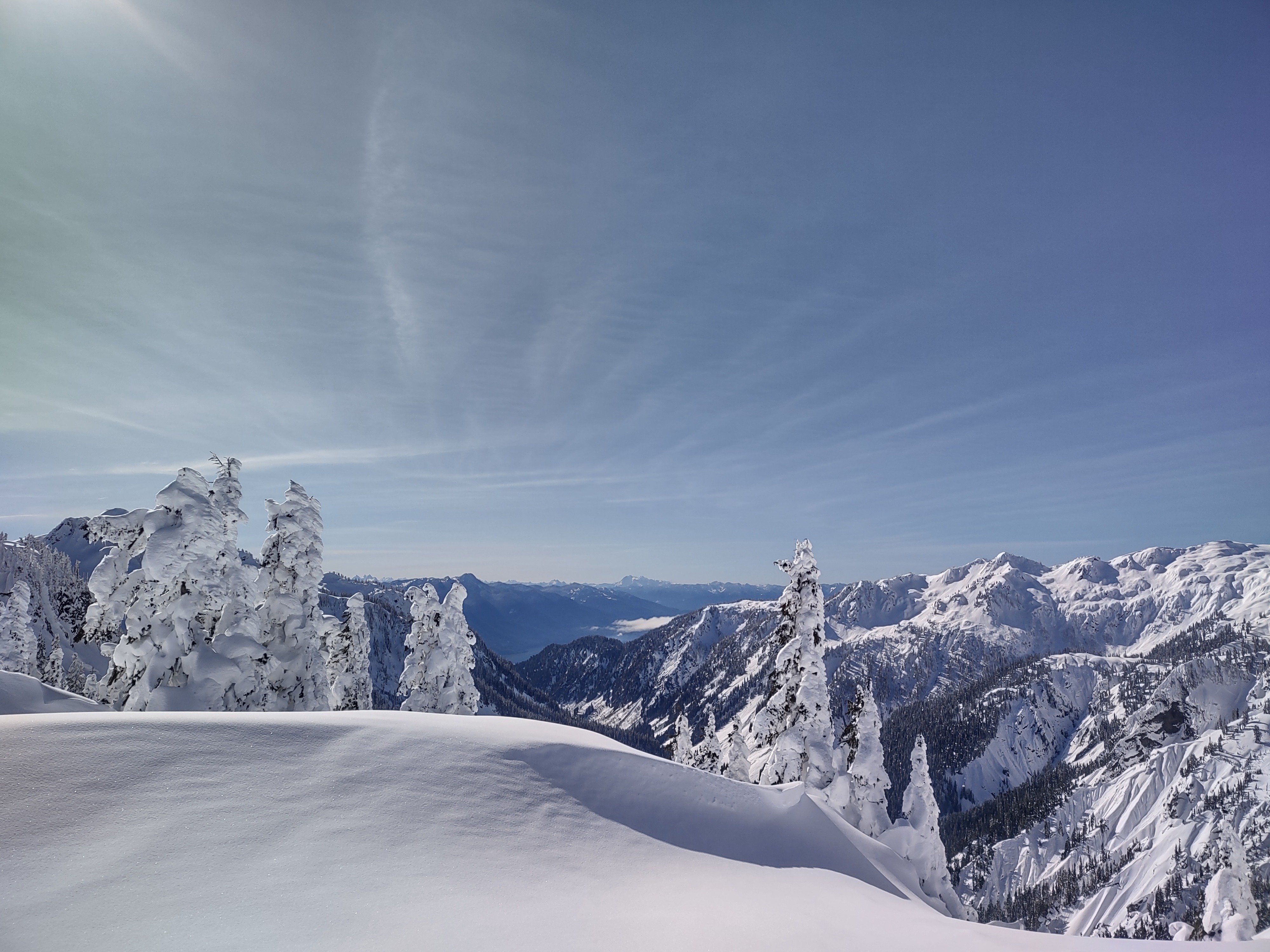
Sunny, warmed quickly late morning. Light wind from the S at times no wind.
Snowpack
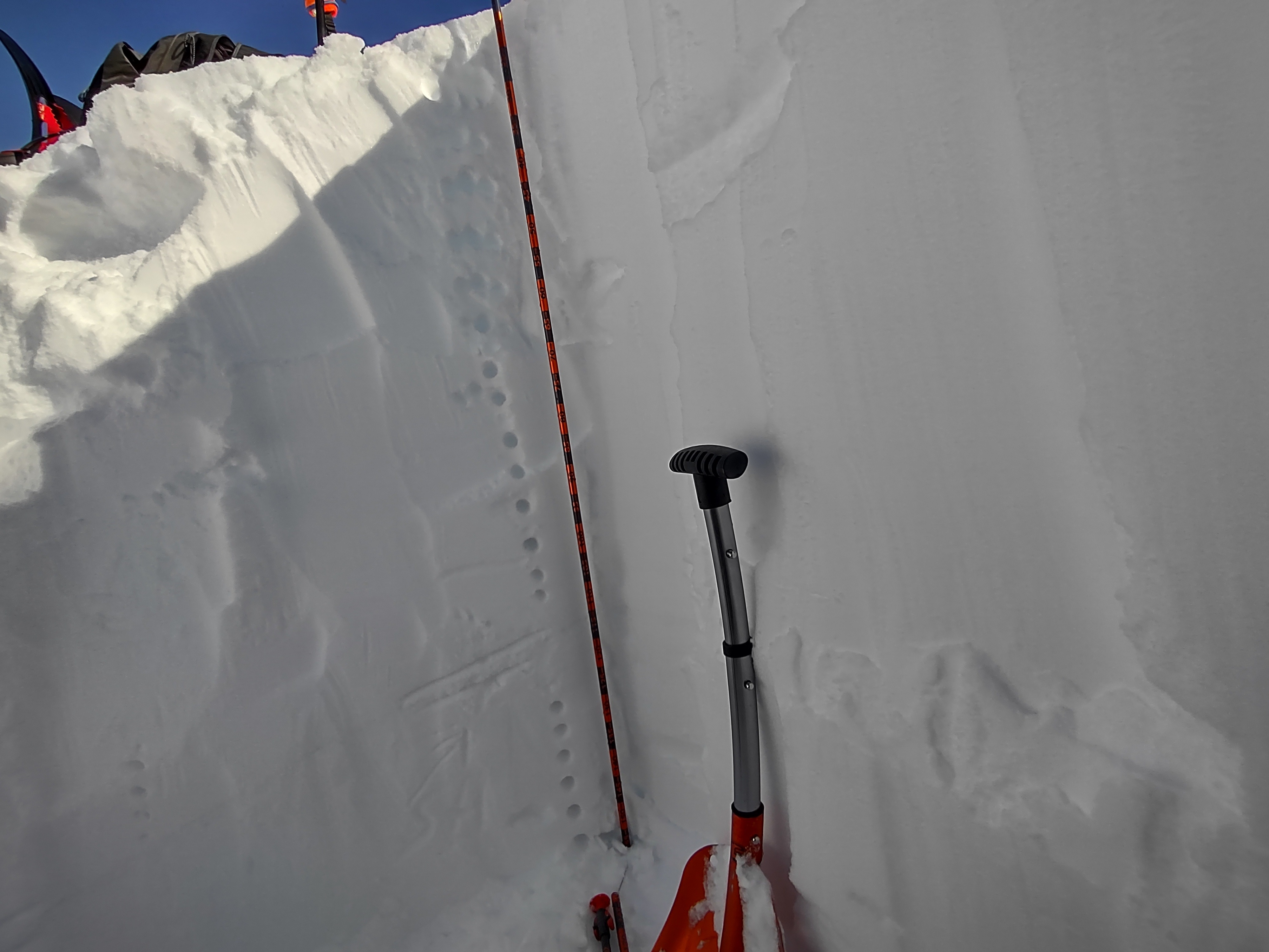
Day started cool early in the morning. A thin crust was actually present as quite a few aspects up to 5000 ft which was a bit surprising, it seemed like some slight green housing may have occured the day prior. In the afternoon all crusty surfaces softened and the top few inches of snow became moist. Dug a 150 cm pit on a NW aspect at Artist point a found both a thin melt freeze crust @ 115 cm and mixed 1F surface hoar grains below this above 120 cm. Snow was mostly right side up ranging from 4F to 1 F above the thin crust. Consistent moderate force planar failures about 40 cm down on a storm interface(CT19 and a couple hard wacks more got sudden failure just below the thin crust in the mixed surface hoar layer down 115-120 cm. Total snow height of 375 cm.
Avalanche
- Size
- D2 R2
- Type
- HS
- Count
- 2
- Aspect
- NE
- Trigger
- N
- Elevation
- 5400 ft
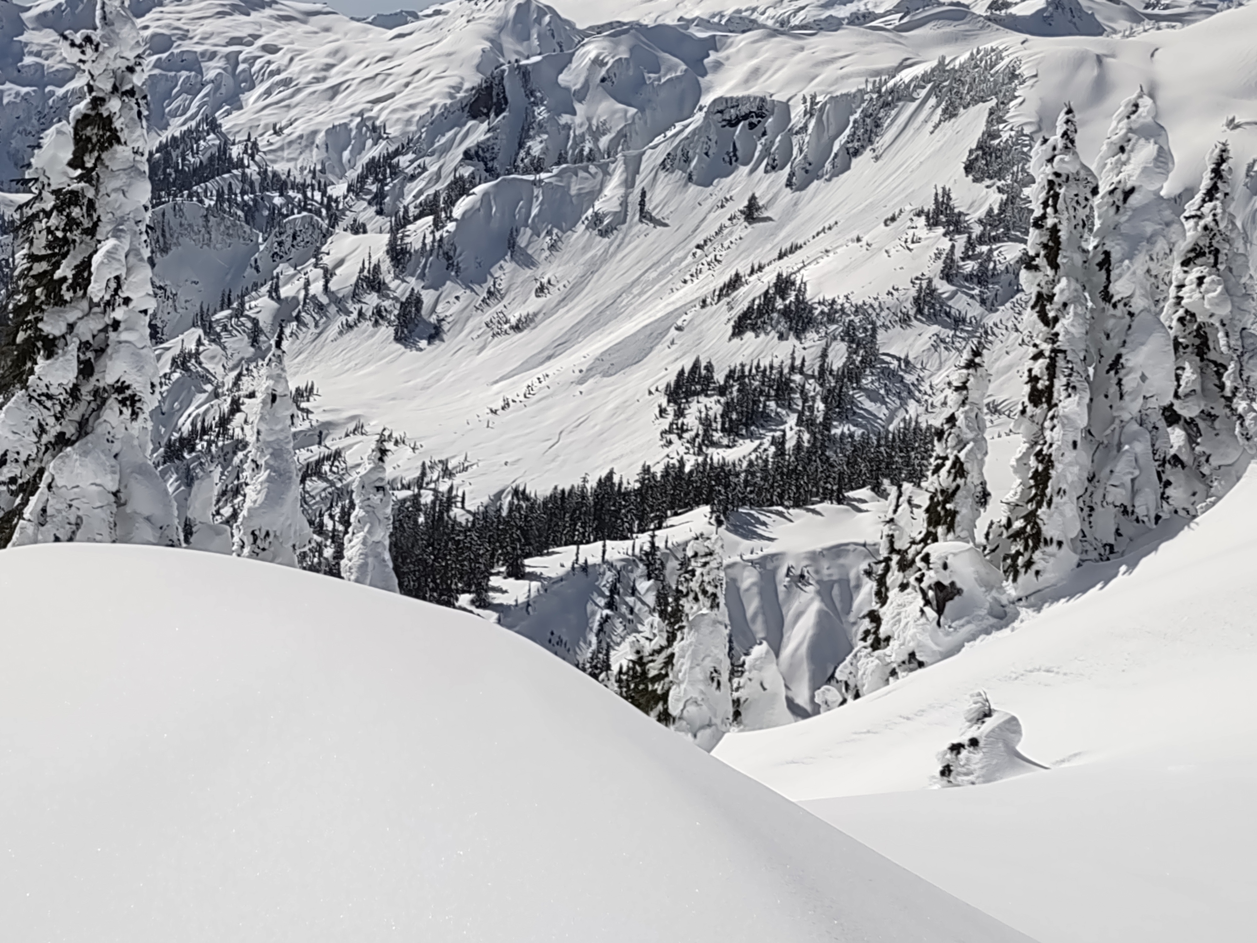
Lots of evidence of previous storm and persistent slab avalanches in the general area and around the Bagley Basin from a few days ago or yesterday. In the afternoon numerous wet Loose ranging from D.5 to D2.