
Quick report
- Cracking
- specific
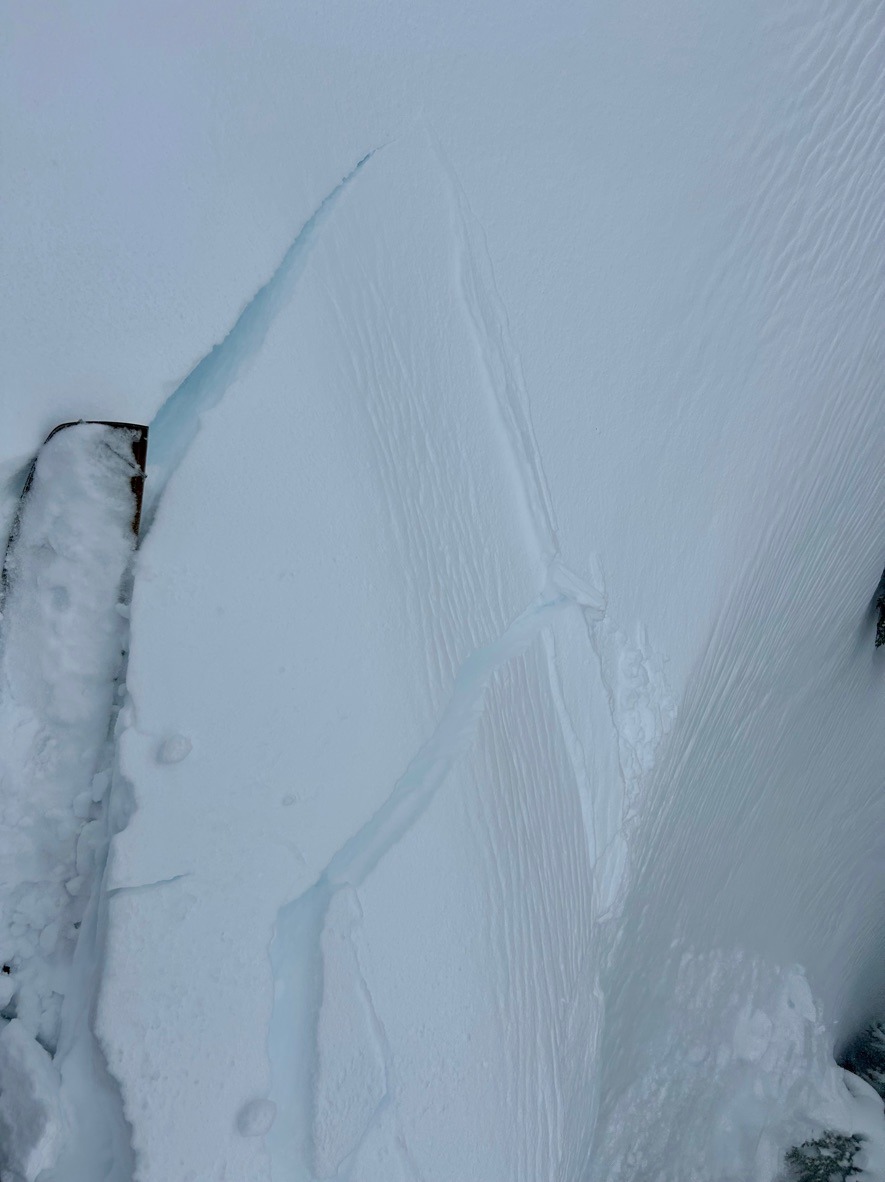
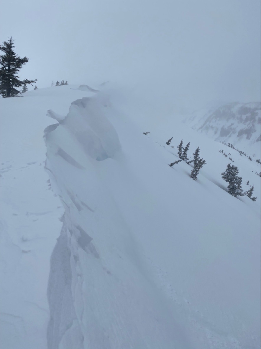
We found the 10-15 inches of new snow well bonded to the crust from last weeks warm-up. However, strong SW winds producitvely drifted new snow into reactive shallow slabs along east aspects above 5800ft. While slabs were shallow in the areas we traveled, these are likely thicker and more widespread at higher elevations. Cold temperatures and gray skies kept wet avalanche types at bay.
We triggered small D1 soft slabs in wind drifted snow.Weather
- Air Temp
- High 20's
- Cloud Cover
- overcast
- Wind Loading
- intense
- Rain Elevation
- 3500
- Recent Snowfall
- 17
- Snow Avail For Transport
- large amounts
Snowpack
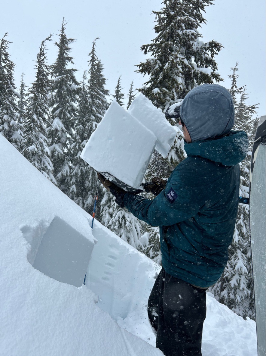
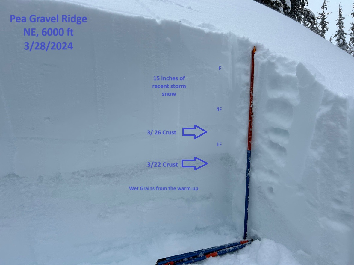
The recent new snow improved travel conditons drastically along Pea Gravel Ridge. The depth of the new snow increased as we gained elevation, but once above 5000 ft we typically observed 10-15 inches of new storm snow resting over the stout 3/22 crust. We found the new snow bonding well to this crust in the areas we traveled. Snowpack tests revealed storm instibilties within the new snow, but nothing remarkable on deeper layers.
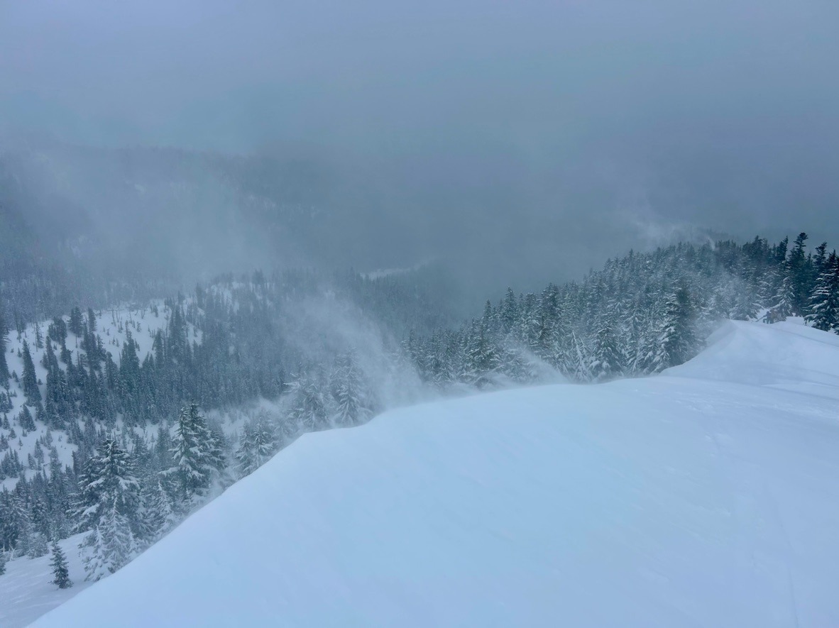
We obsevred intense loading once we crested into exposed terrain. Strong SW winds productively drifted new snow into reactive 6-12 inch slabs. As mentioned above, we easily triggered small soft slabs on east aspects between 5500-6000 ft. We didn't travel much above 6300 ft, but we suspect that slabs could be thicker and more widespread at those elevations.
It felt cold and windy which helped limit wet avalanche concerns.