
Quick report
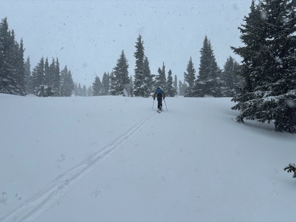
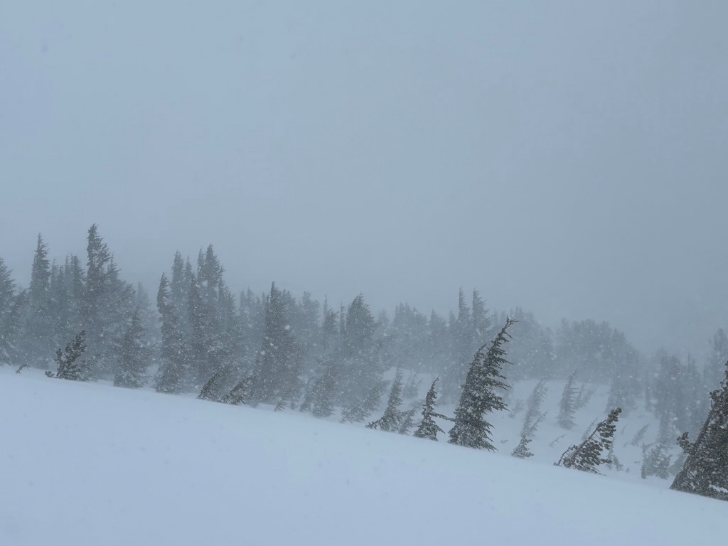
We unfortunately skinned in the rain until 5800 ft. Once above, rain transitioned to wet snowfall and strong SWerly winds easily drifted new snow. There wasn't enough new snow (1-3 inches) to create much hazard outside of wind loaded terrain or really to see how it was bonding to the preexisting surfaces - but the old snow surfaces are variable across the terrain. While the overall lower/middle elevations are slowly improving, it will take more than a few inches to cover up the rough surfaces that currently exist in the trees and along the Tilly Jane Ski Trail.
Weather
- Air Temp
- Mid 30's
- Cloud Cover
- obscured
- Wind Loading
- moderate
- Recent Snowfall
- 5 cm
- Snow Avail For Transport
- small smounts
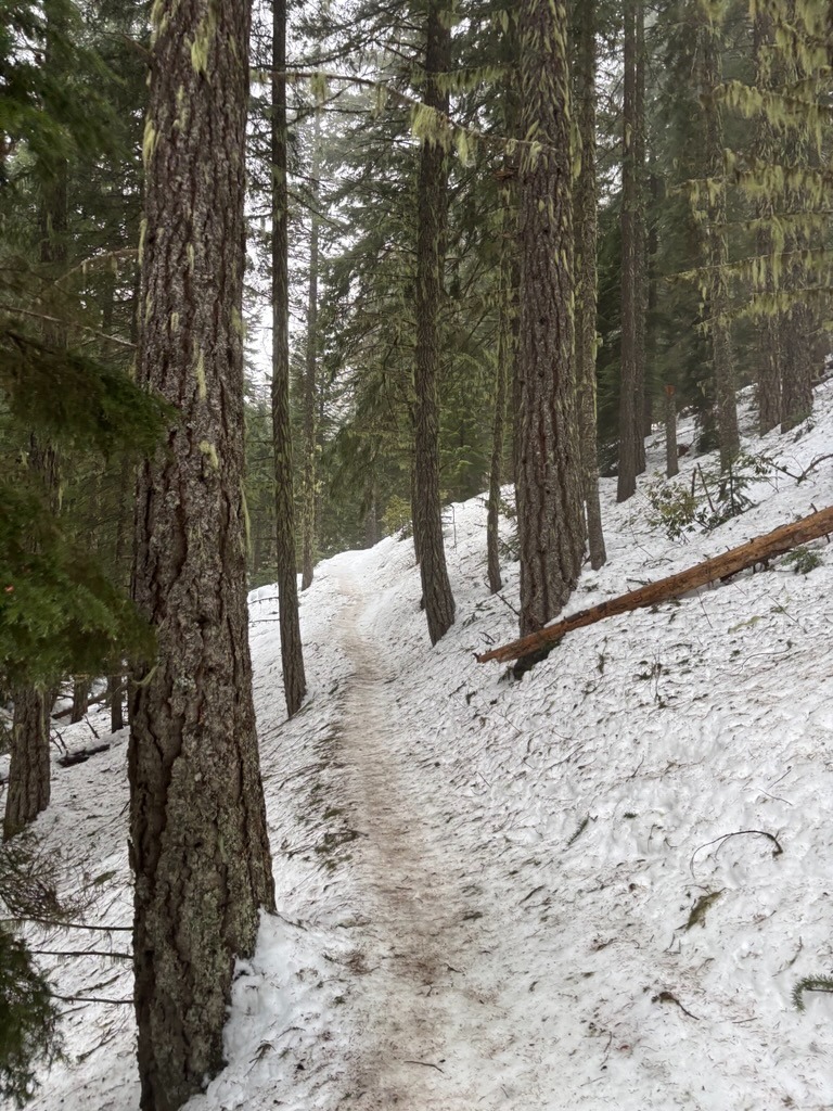
Snow lines were quite high on the east side of the mountain. We skinned in rain until roughly 5800 ft before it transitioned to snow.
Snowpack
On this east side of the mountain, we found high snow levels extending to roughly 5800 ft. Above, we found 1-3 inches of dense new snow, moderate snowfall, and strong winds. Strong SW winds producitvly drifted new snow. Any slab development was minimal in the areas we traveled, but we didn't travel in any true leeward terrain.
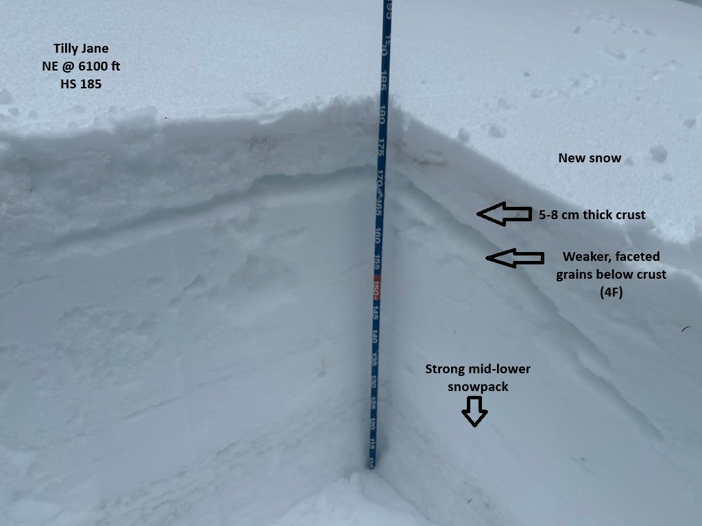
In a test profile at 6100 ft on a NE aspect, I found an HS of185 cm. While the mid/lower snowpack is strong, the upper snowpack is variable and does harbor weaker, faceted snow adjacent to a crust near the surface. We found the weakest grains just beneath the crust. This crust varied in thickness across the terrain. It was sometimes supportable and other times, thin and fragile. Regardless, we'll keep an eye on it as we build more slabs in the coming days.
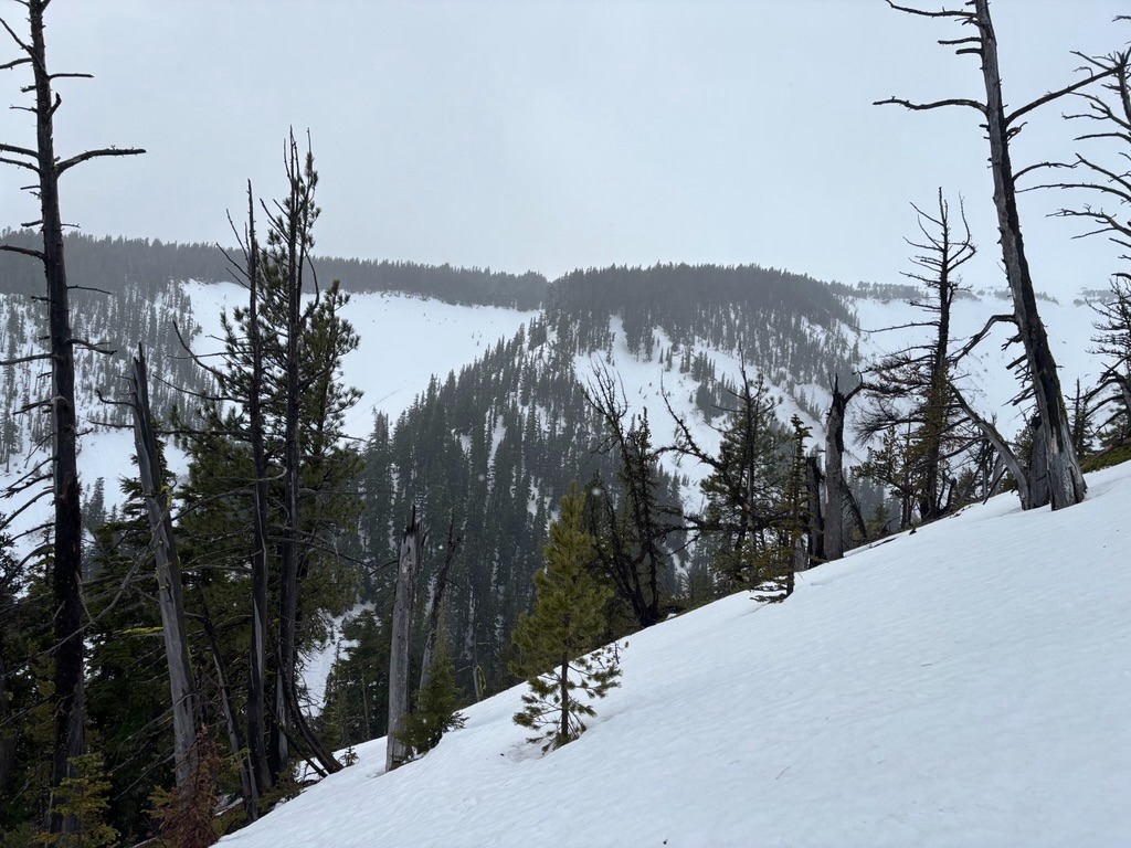
As mentioned the snow line was sitting around 5800 ft, so any terrain below was wet and variable. Travel in the trees is still quite challenging and sometimes icy.