
Quick report
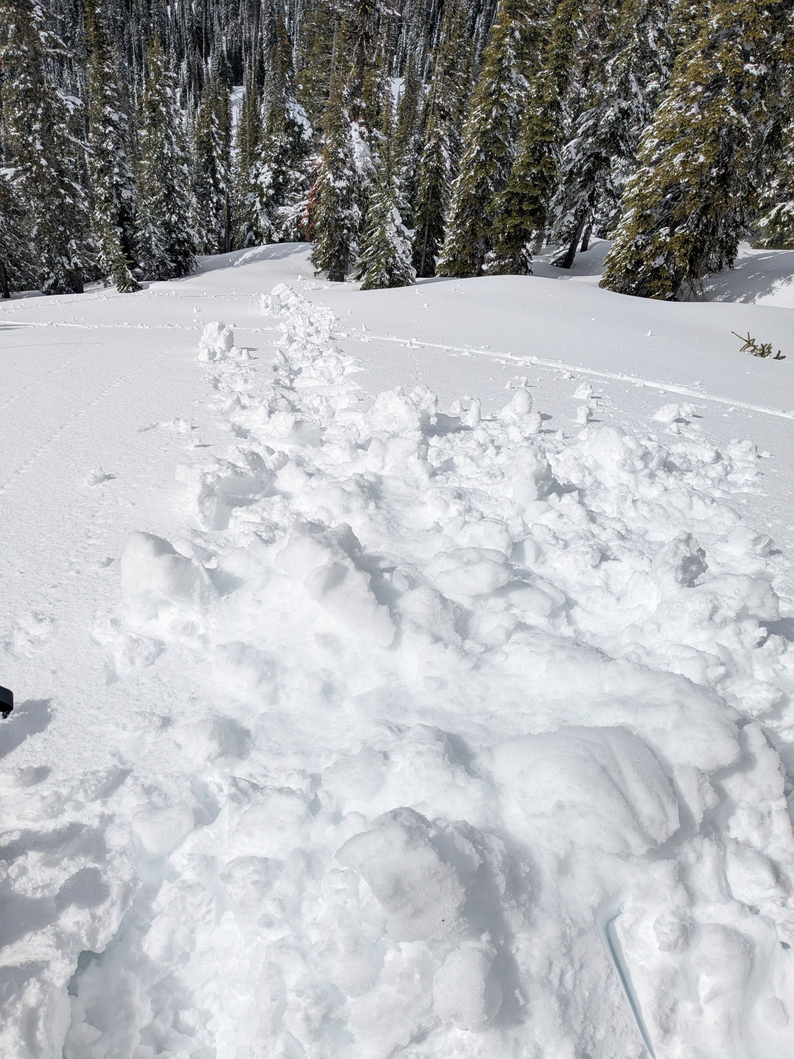
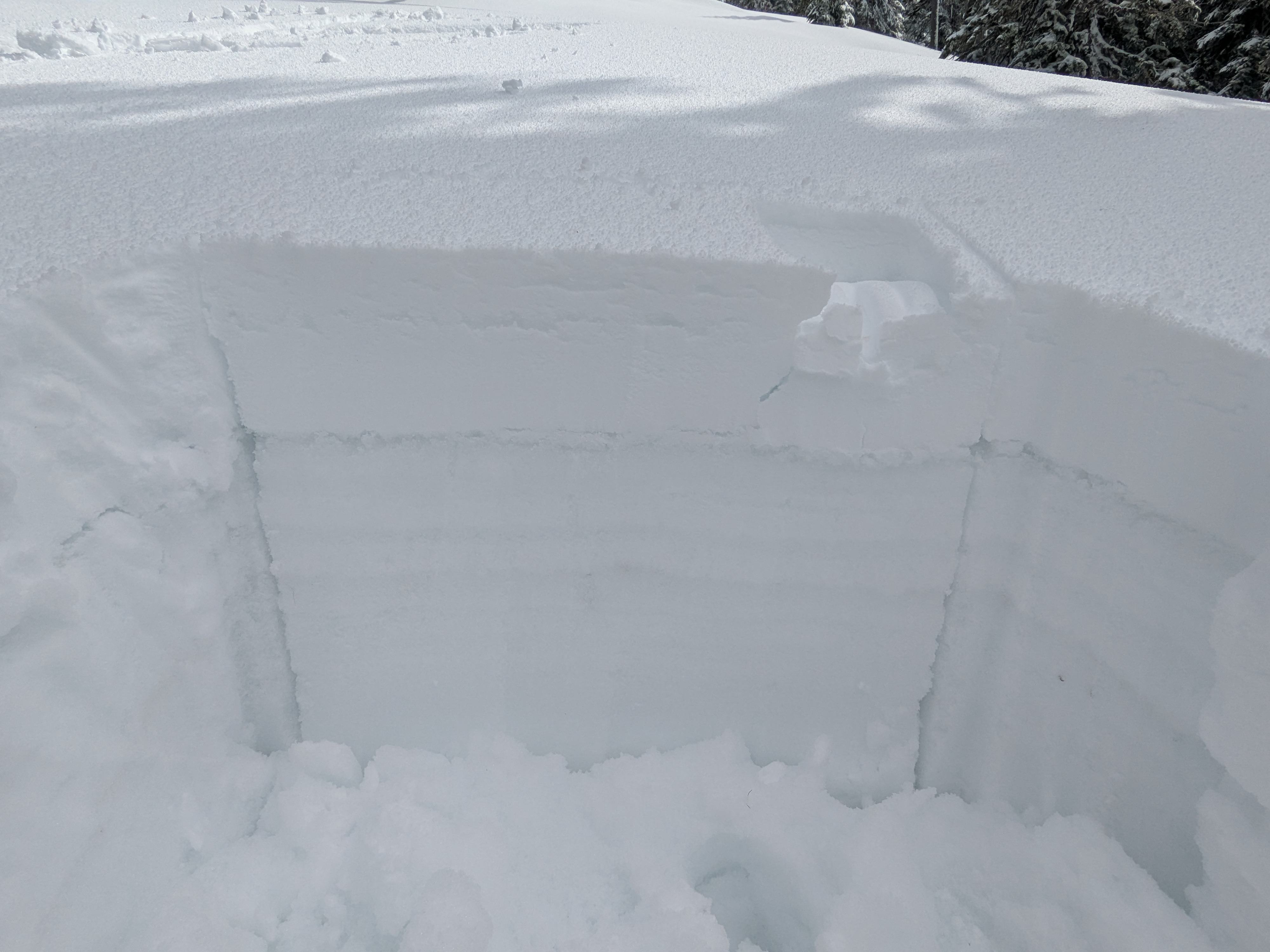
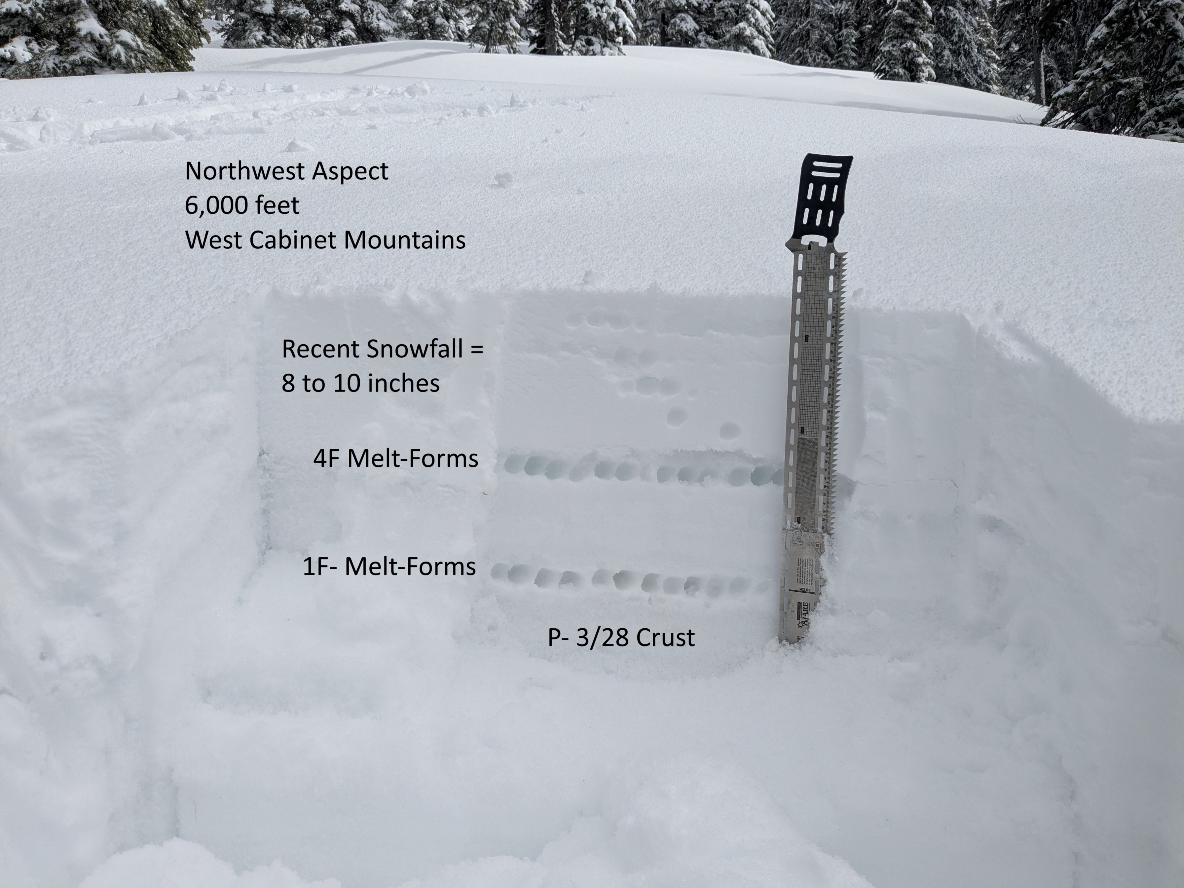
Upper elevation north facing slopes were the only place we were able to find snow that satyed mostly cool and escaped the warm up brought on by sun and above freezing temperatures. By afternoon, everything at mid and lower elevations felt wet and soggy. Large rollerballs could be seen breaking away from rock bands and tree bombs, but we didn't observe any recent wet loose avalanches. Lower elevations are losing snow rapidly. 4F to 1F- melt forms located around 20cm to 40cm down are currently the layers of greatest concern in the snowpack.
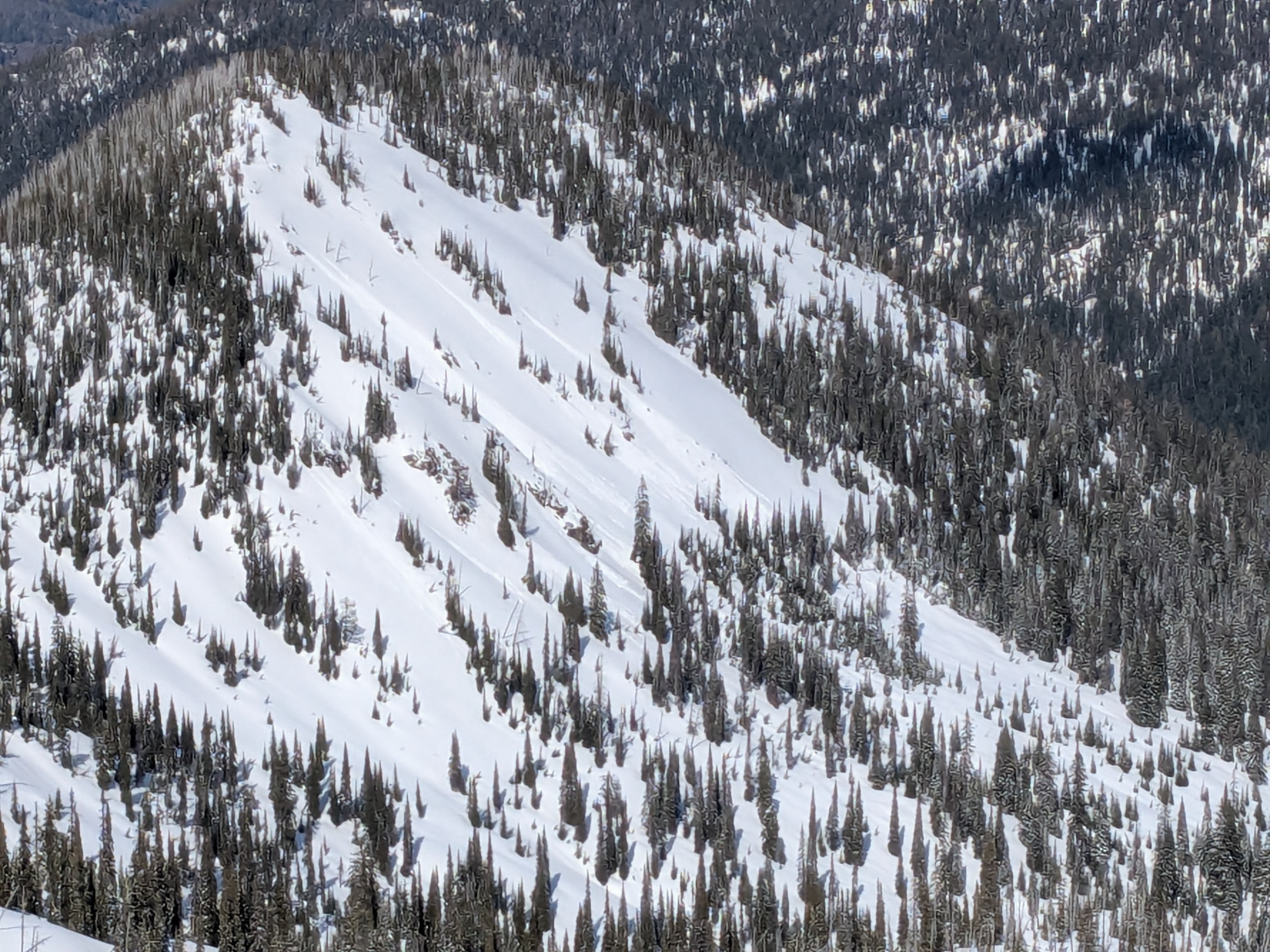
Recent avalanches from Monday's (4/7) rain event.Weather
- Cloud Cover
- scattered
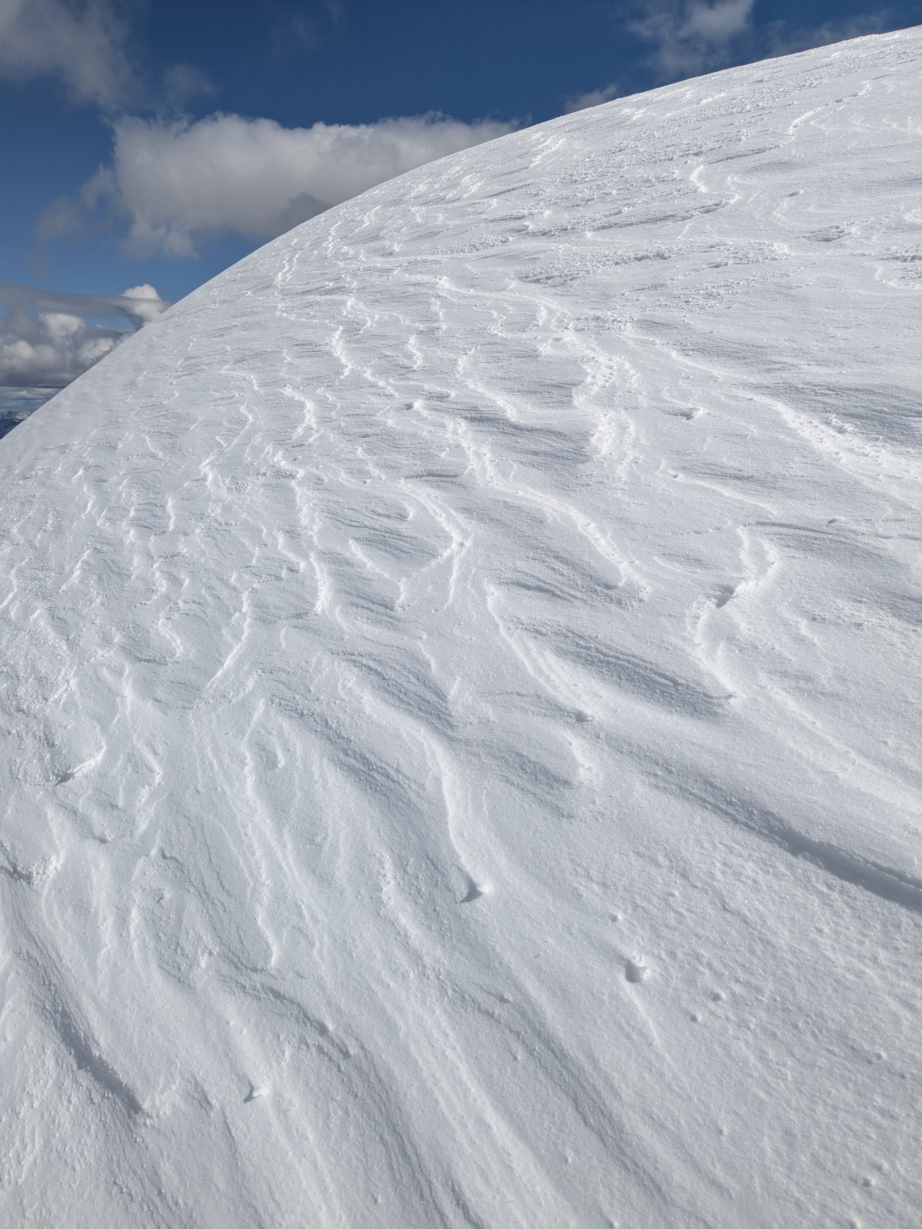
- Wind Loading
- light
- Recent Snowfall
- 20 to 25
- Snow Avail For Transport
- moderate amounts
Clouds and sun. The steady breeze kept conditions from getting too out of hand.
Snowpack
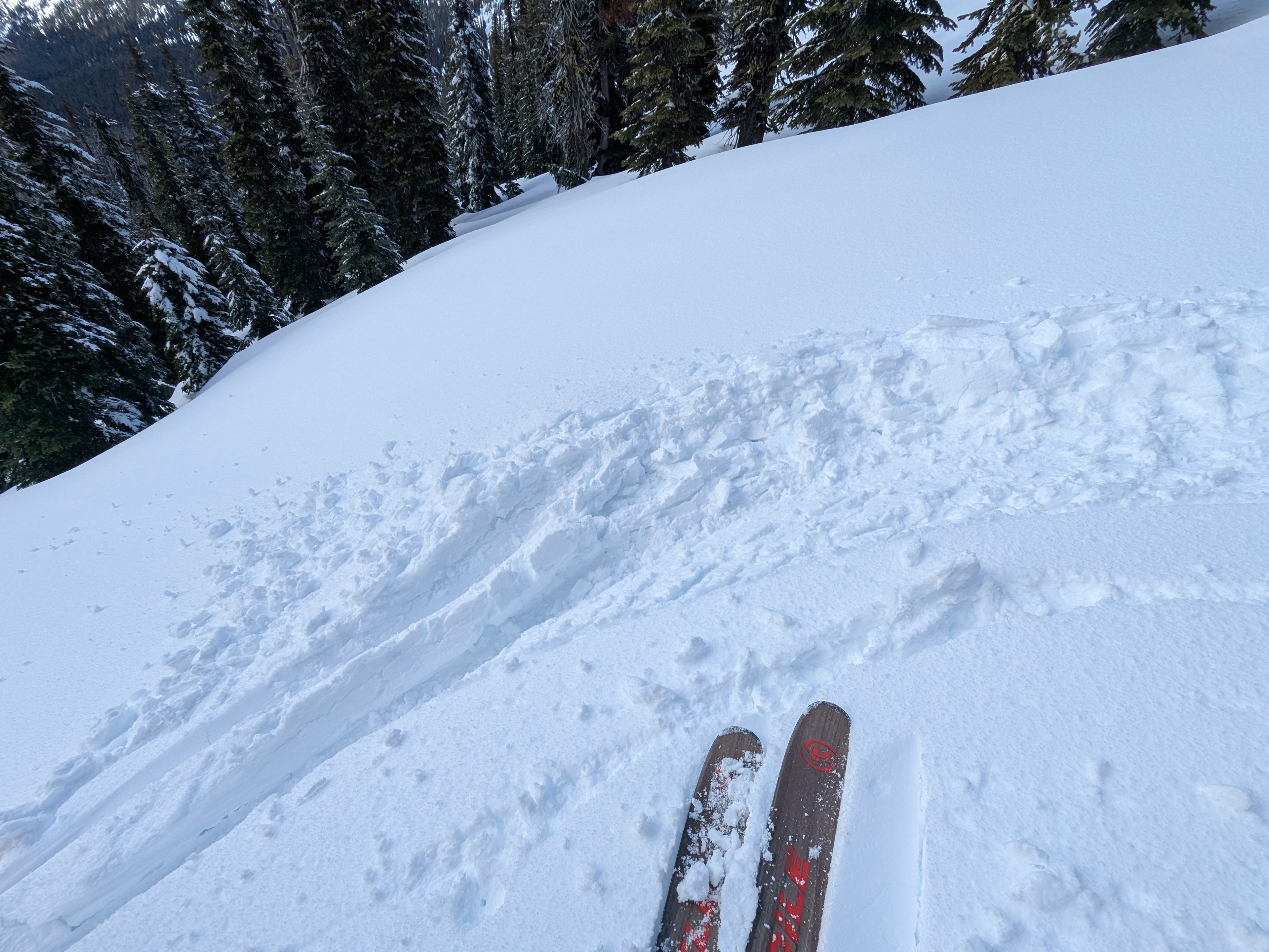
At close to 6000' we found 8"-10" of new snow that had fallen overnight on 4/8. New snow was 4F-1F and contained a lot of graupel. Directly below that new snow was a layer of 4F melt forms that had been heavily saturated, and water could be seen blurring the bonds between the grains. Another layer of 1F- melt forms exist above the 3/28 crust. Both of these soft and weak layers are of greatest concern. ECTN 12 and 14 on the upper layer of melt forms, and ECTN22 on 1F- melt forms above 3/28 crust. 3/28 crust was supportable throughout our travels, and ranged from 40-65cm deep. By the afternoon, new snow had warmed up enough that it was producing rollerballs around rocky outcroppings, but didn't reach a point where it was producing true wet loose debris. On the descent on a west aspect just below 6000', the new snow was breaking up in wet and slabby chunks. Upper elevation north facing slopes stayed cooler and dry.
Avalanche
- Size
- D1.5
- Type
- WL
- Count
- 2
- Aspect
- N
- Trigger
- N
- Elevation
- 6400 ft