
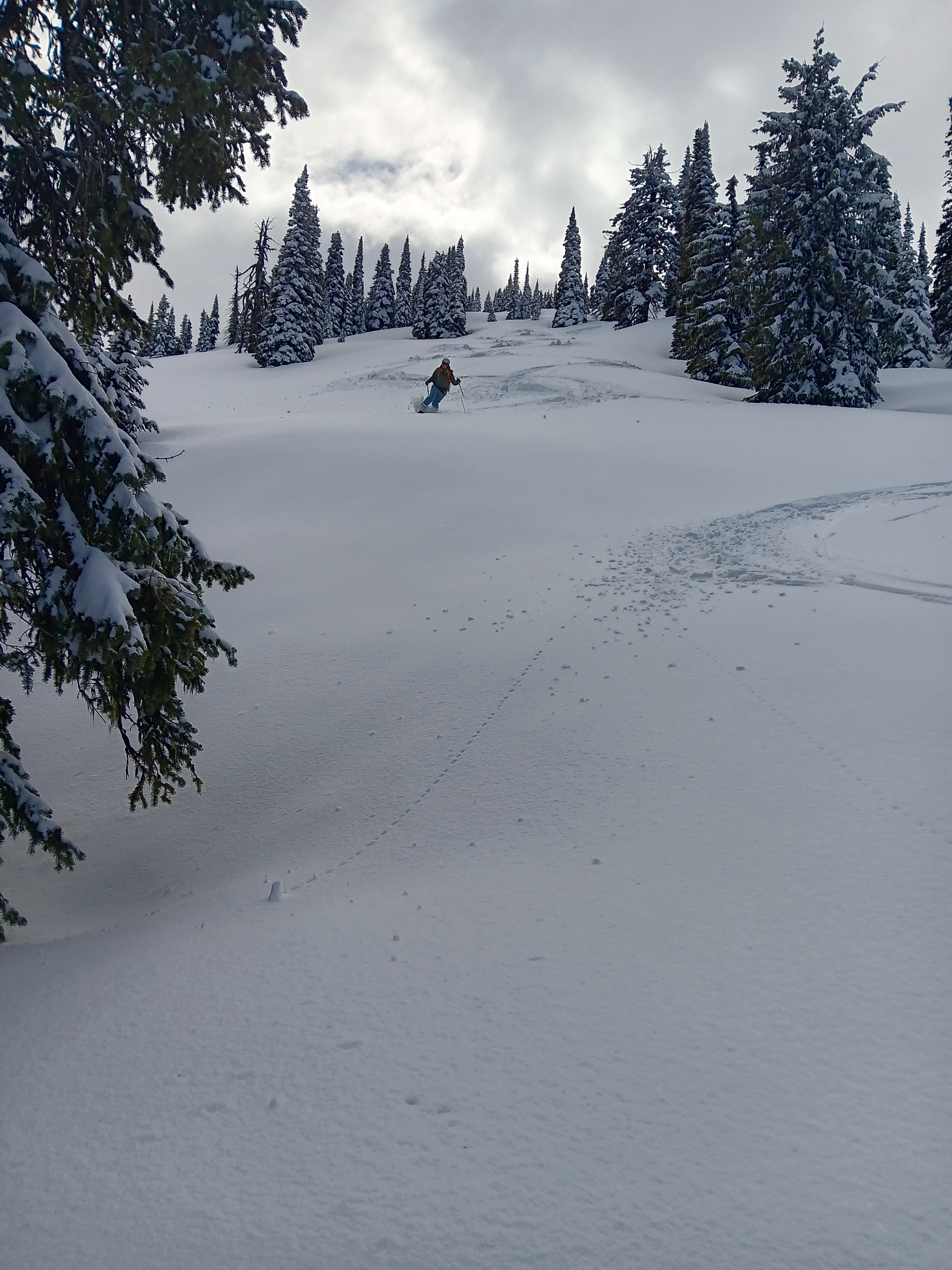
Quick report
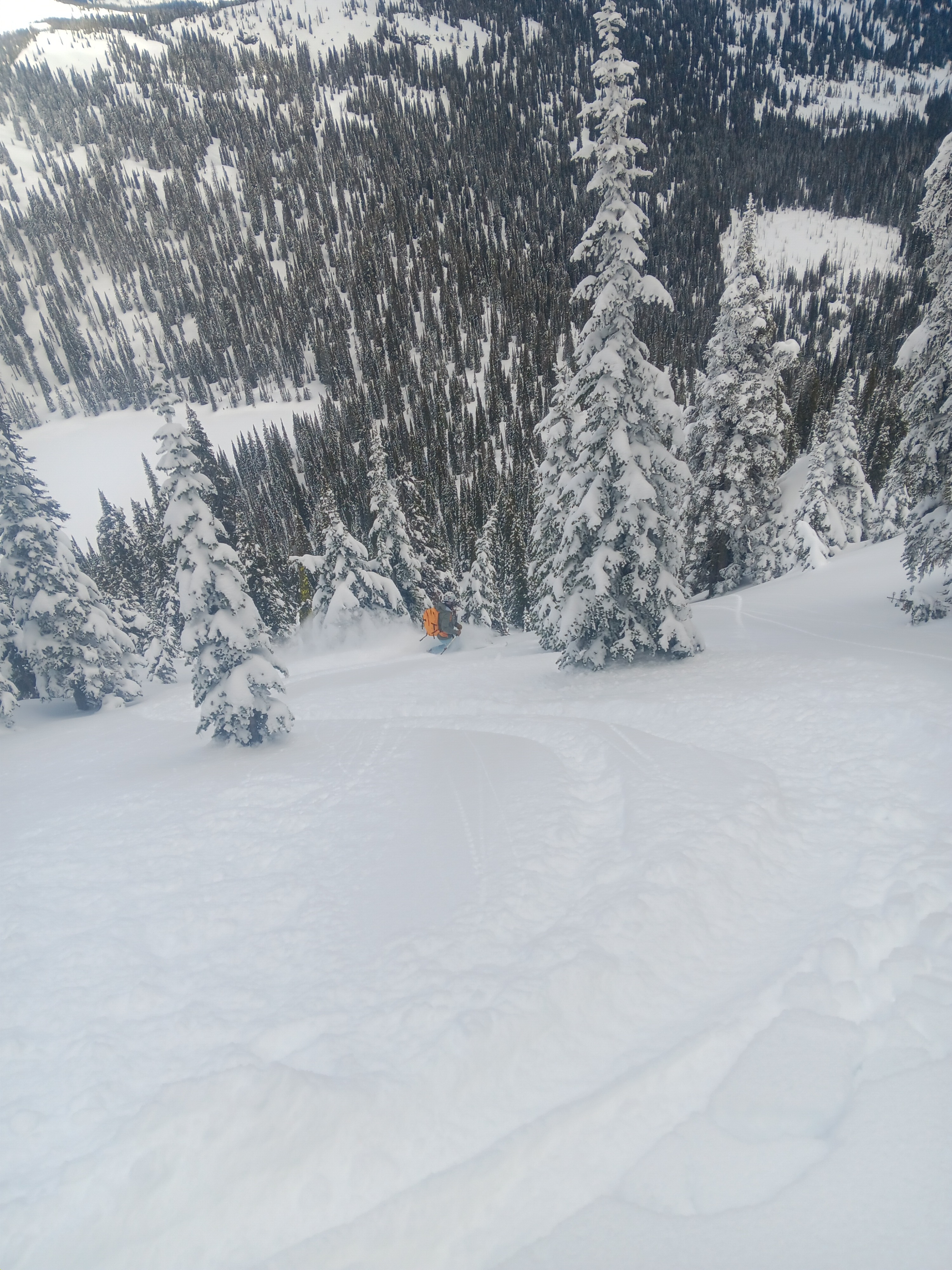
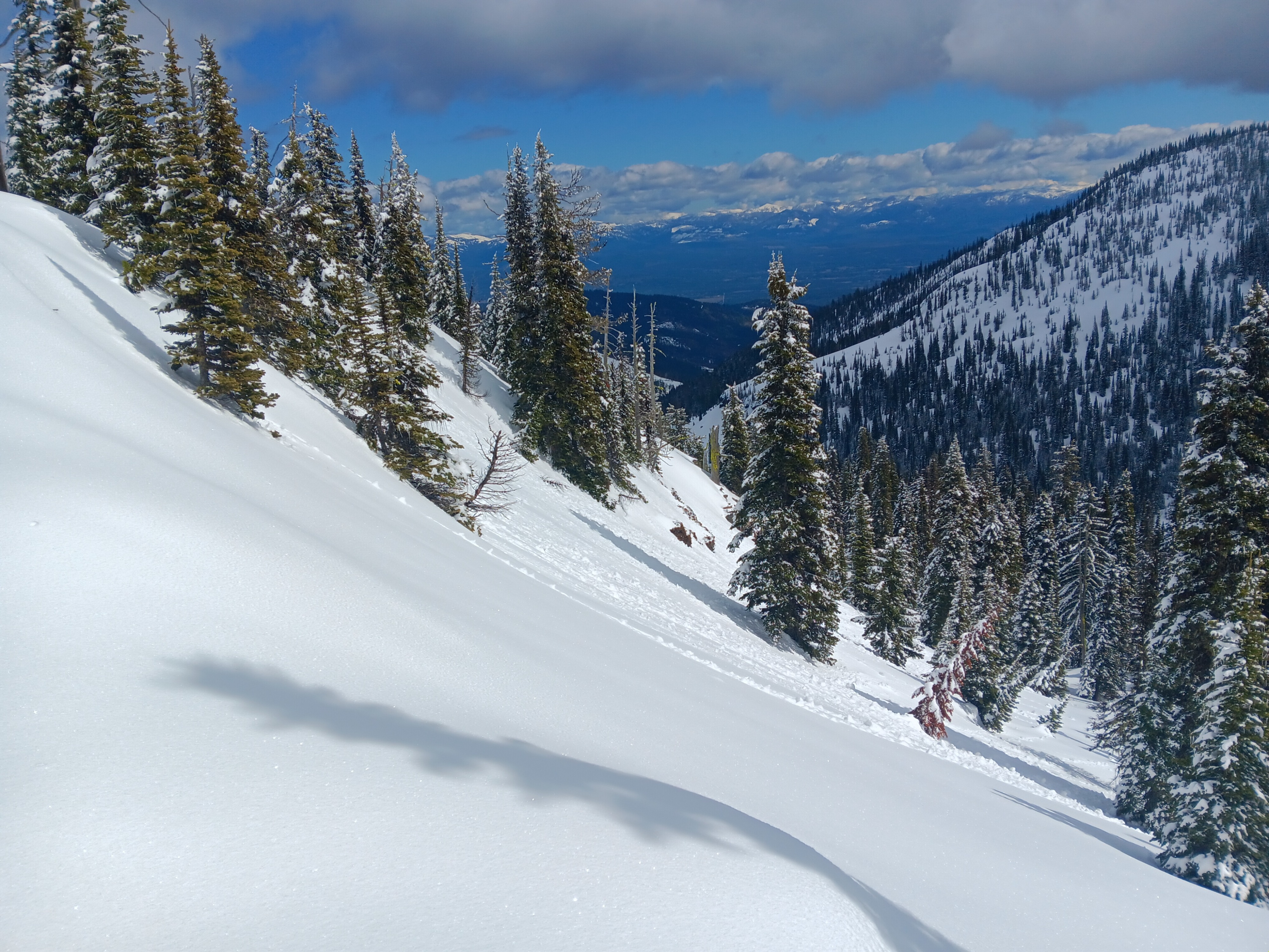
The new snow from yesterday was still intact on the upper elevations and protected aspects, even down to ~5000' on the north aspects, and combined with the snow from earlier in the week, it has fully adhered to and buried the former crust to enable good skiing conditions. New snow on the sun-affected southerly aspects has already consolidated and solidified with diurnal freeze-thaw cycles, but was softened enough around early afternoon that roller balls and wet loose point releases were visible on most aspects.
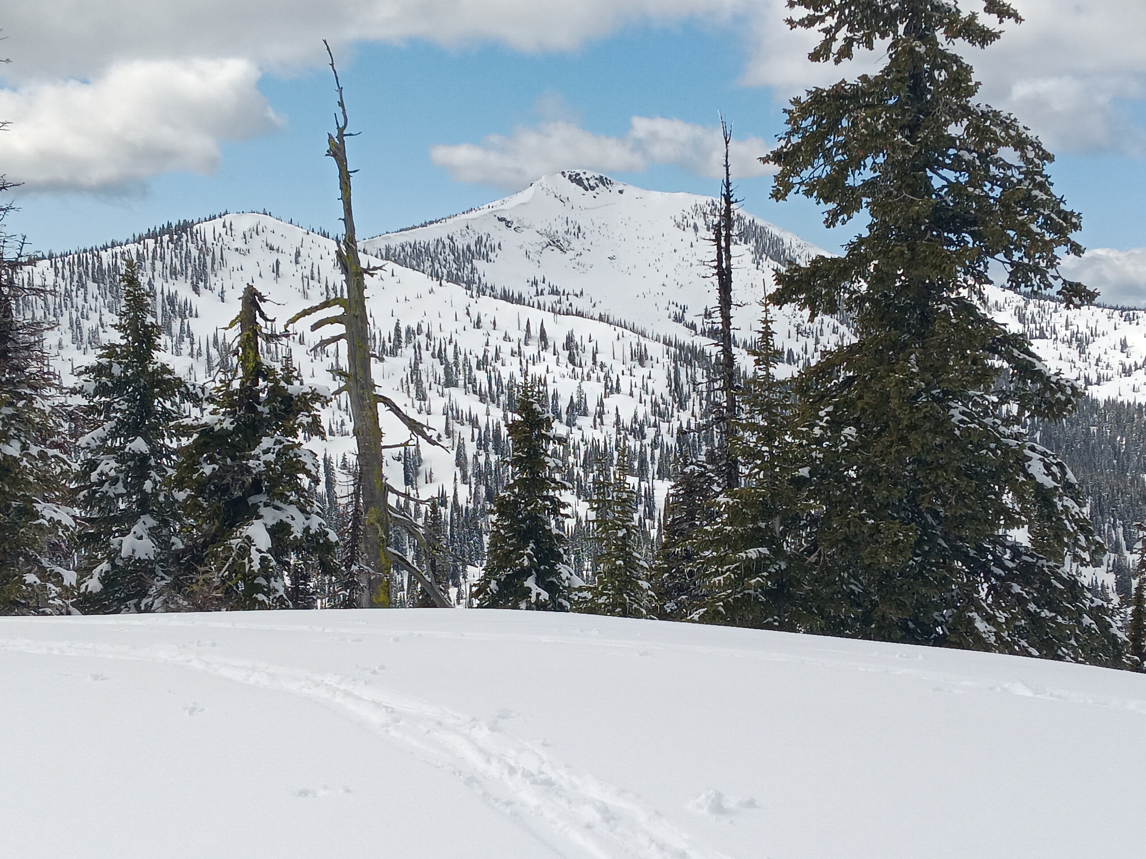
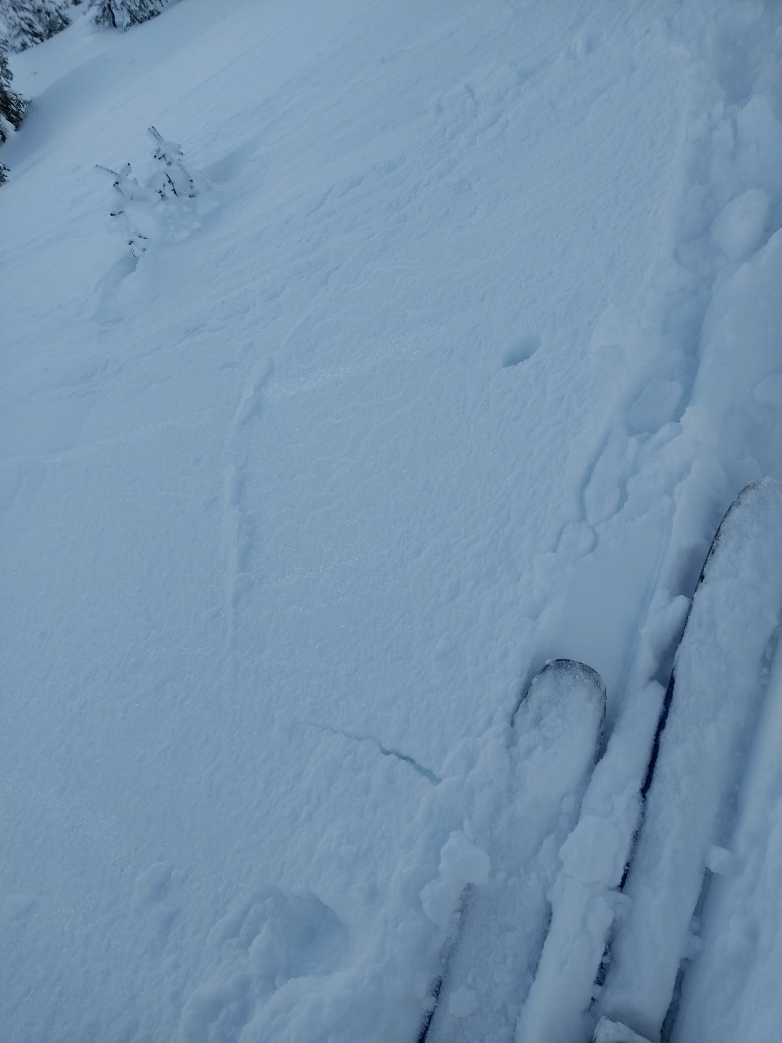
Generally quite stable due to solidity of the crust isolating the lower snowpack, but recent snow has adhered poorly to the crust in some places so the surface snow was somewhate reactive. On wind-loaded aspects we were seeing some cracking and were able to trigger some small wind slabs, and we did get a small loose dry slide on a steep N aspect (wind-loaded dust on crust). Later in the afternoon, conditions were increasing for loose wet. We also observed a prior slide on the steep east aspect of Mt. Casey - it was hard to tell from a difference, but it looked like a high crown that would have been on a layer lower in the snowpack.Weather
- Air Temp
- 40
- Cloud Cover
- scattered
- Wind Loading
- previous
- Recent Snowfall
- 5-8
- Snow Avail For Transport
- small smounts
Scattered clouds/ partly sunny and calm, with temps in the high 30s to 40s.
Snowpack
There was 5-10 cm of new snow from yesterday, on top of the ~8cm of older snow from earlier in the week; the crust below these is still present in the higher elevations/protected aspects (10 cm ski penetration, 25cm boot penetration). On the south aspects and lower elevations, the new snow has already settled and solidified - just 2cm ski penetration, 10-15 cm boot penetration.
Avalanche
- Size
- D2
- Type
- WS
- Aspect
- E
- Trigger
- N
- Elevation
- 6600 ft