
Quick report
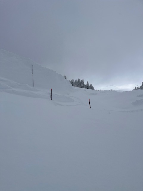
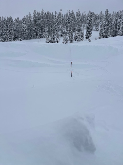
Tour to scope out the large Avalanche Gulch slide that occurred on February 2nd. We were alerted by USGS on the morning of February 3rd: "I’m sure it’s no surprise, but just thought I’d drop a note that we saw seismic evidence of some avalanches in the last day at Shasta. Mid-afternoon (2:30 pm local?) on the west side somewhere, then and late evening (8:00 pm) yesterday more likely on the south side. Maybe even another small one just now (9:30 am) on the south side also."
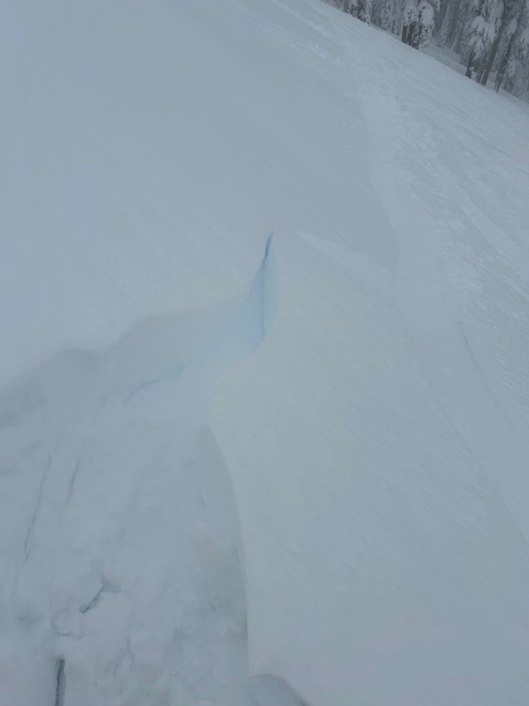
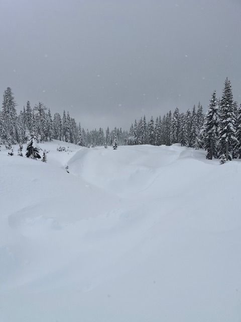
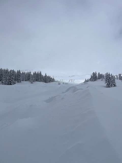
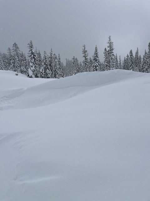
No signs of instability observed, Settlement cones around trees.Weather
- Air Temp
- 24
- Cloud Cover
- overcast
- Wind Loading
- light
- Recent Snowfall
- 15
- Snow Avail For Transport
- large amounts
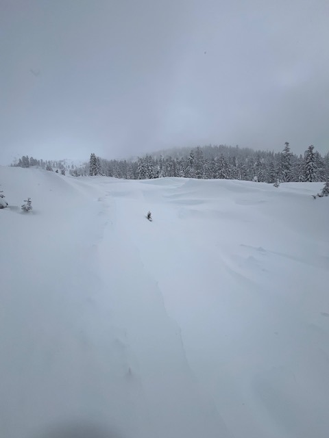
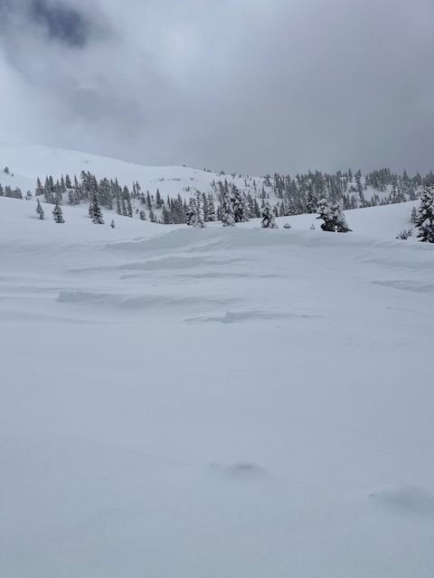
Obscured sky, with brief clearings. Not much solar impact yet. Light W/NW wind below and near treeline with a rare, moderate gust
Snowpack
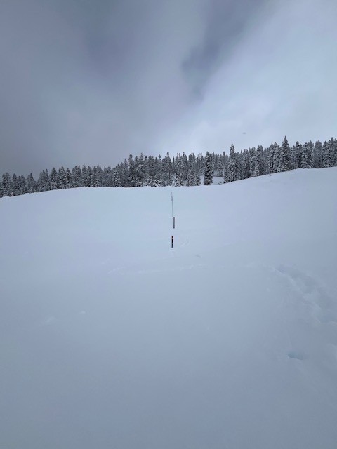
- 6-8 inches new snow in past 24 hours
- Ski penetration 5-25 inches / Boot penetration 40 inches +
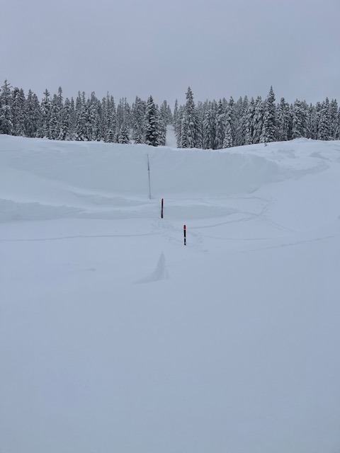
- ~ 3 to 4 feet of fresh snow on avalanche debris in Avalanche Gulch
- 141 inches of snow on the ground at treeline on Mt Shasta
Avalanche
- Size
- D4 R4
- Type
- SS
- Aspect
- S
- Trigger
- N
- Elevation
- 11000 ft
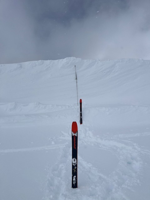
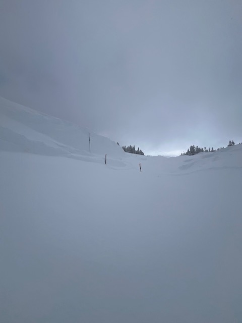
We were finally able to access and look at a very large D4 avalanche in Avalanche Gulch. Huge debris piles 20-40 feet tall. Toe of avalanche near 7,400 feet. Climbed to 8,000 feet but poor visibility prevented further investigation. Did not view any of the start zone, but likely covered by fresh snow. Guessing the crown line is near 11,000 feet, similar to the past. Less destructive and did not run as far as last February's slide but significantly larger than the November slide. Very impressive as always!