
Quick report
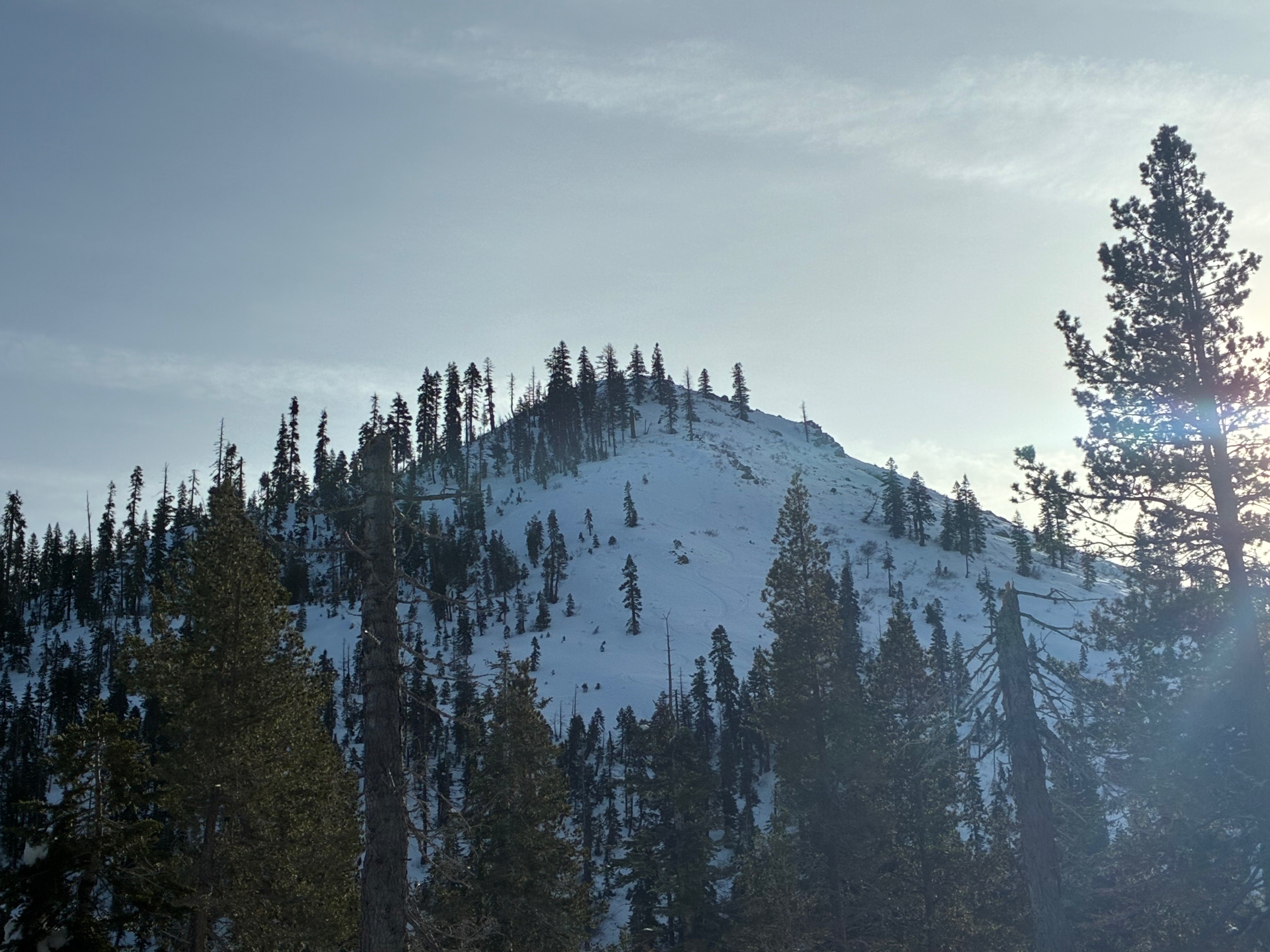
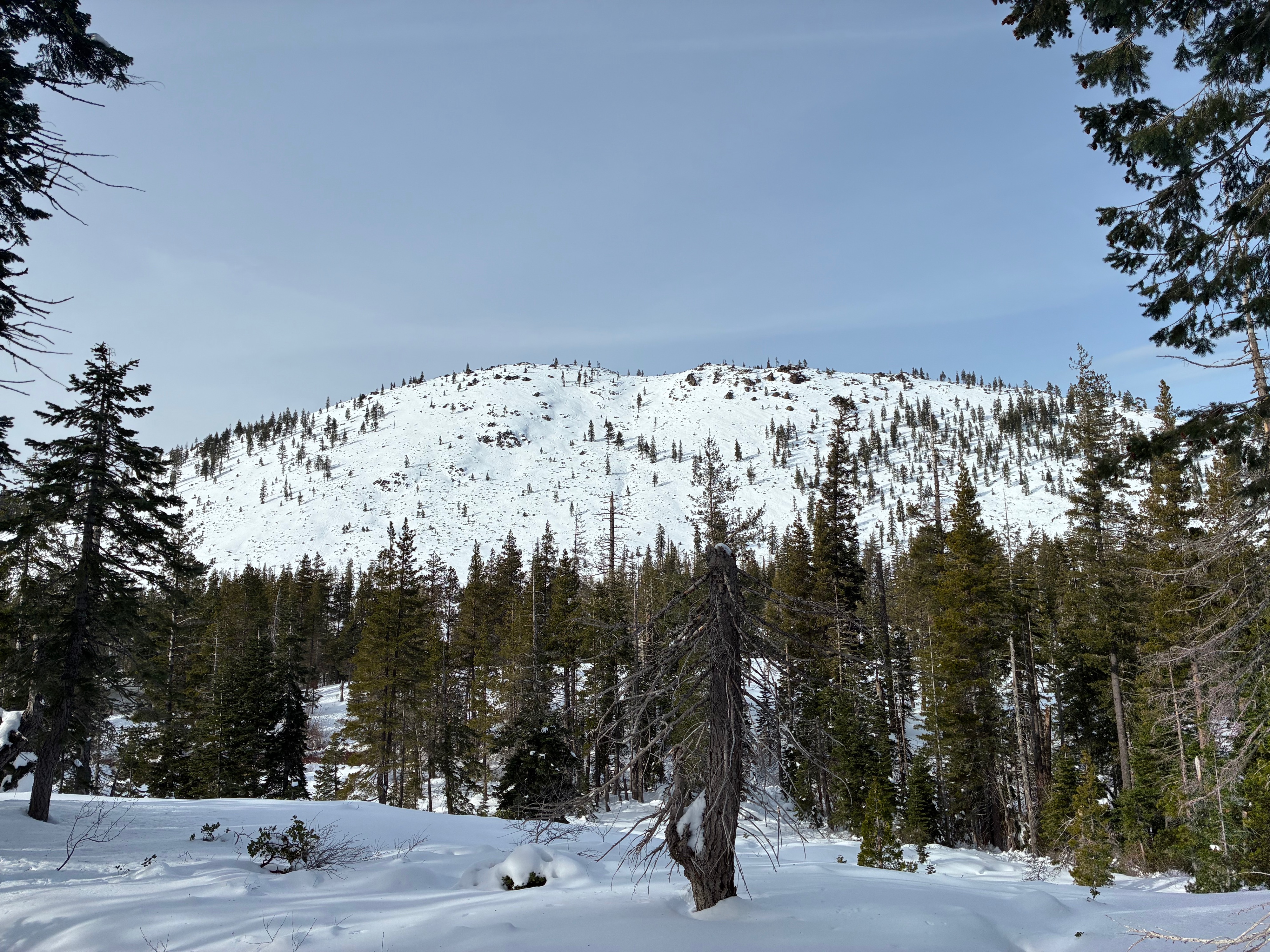
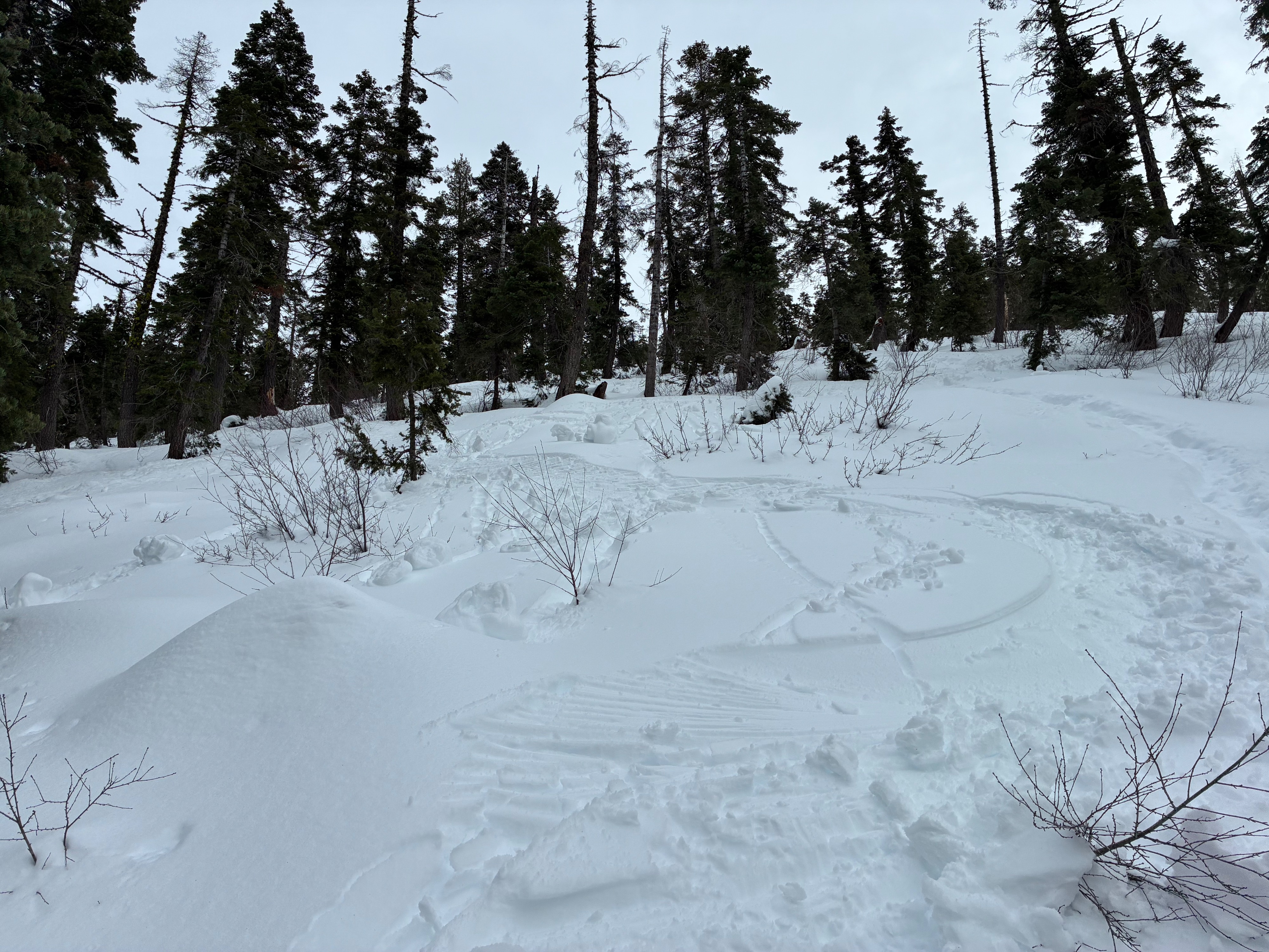
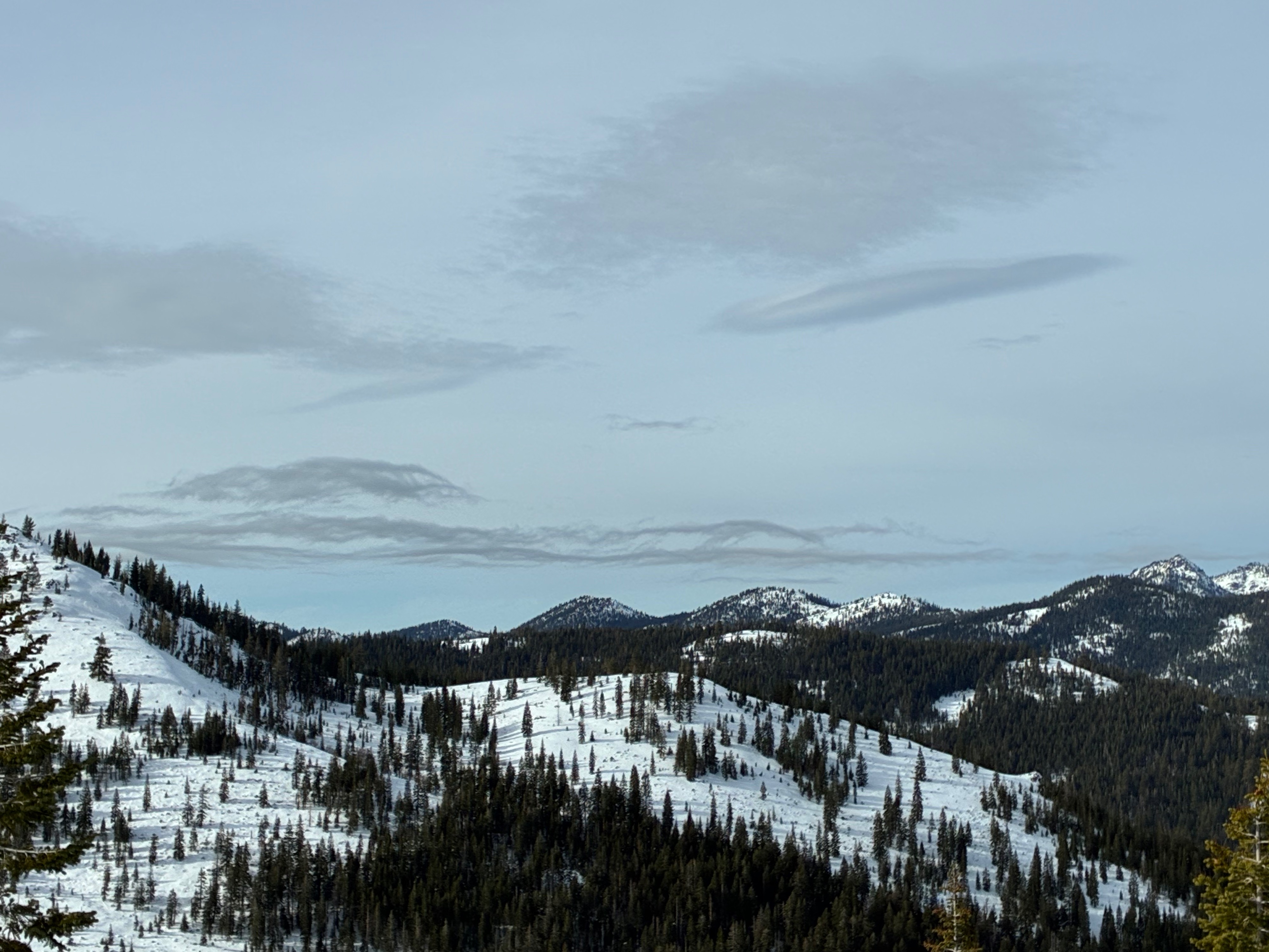
Today I headed out to inspect one of the local weather stations, which has been reporting incorrect snow depths. To get there, I traveled predominately on west and northwest aspects. Snow surfaces were already moist by the time I started walking. The exception being within forest openings on the shadier aspects plus flat terrain where drier snow and small surface hoar could be found. Within denser forest, surfaces were moist and sticky and likely did not refreeze overnight. A thin surface crust was apparent on some slopes that I presume had more of a solar orientation. By the time I headed out around 1:00-1:30 pm, all surfaces had moistened. I was able to initiate pinwheels on a northwest facing slope where damper snow overlay drier snow beneath.
Weather
- Air Temp
- 48
- Cloud Cover
- overcast
- Wind Loading
- none
- Rain Elevation
- Not Observed
- Recent Snowfall
- Not Observed
- Snow Avail For Transport
- small smounts
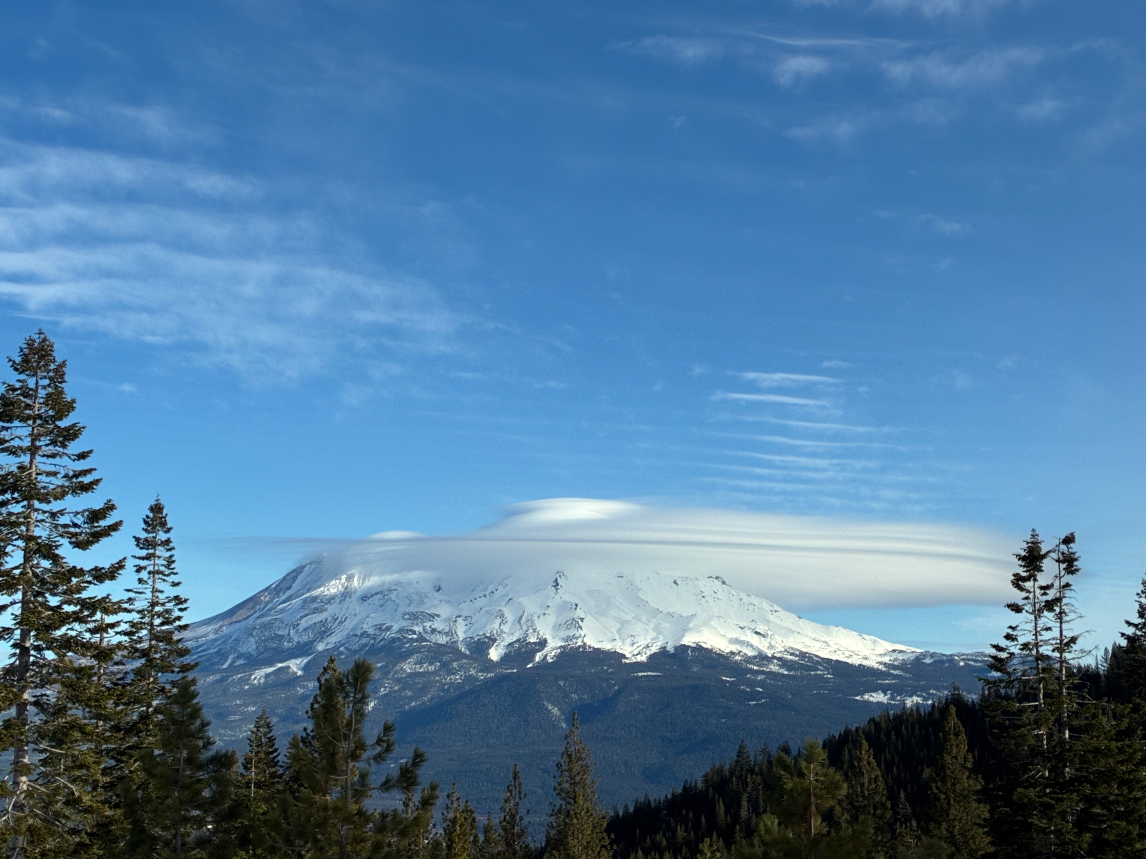
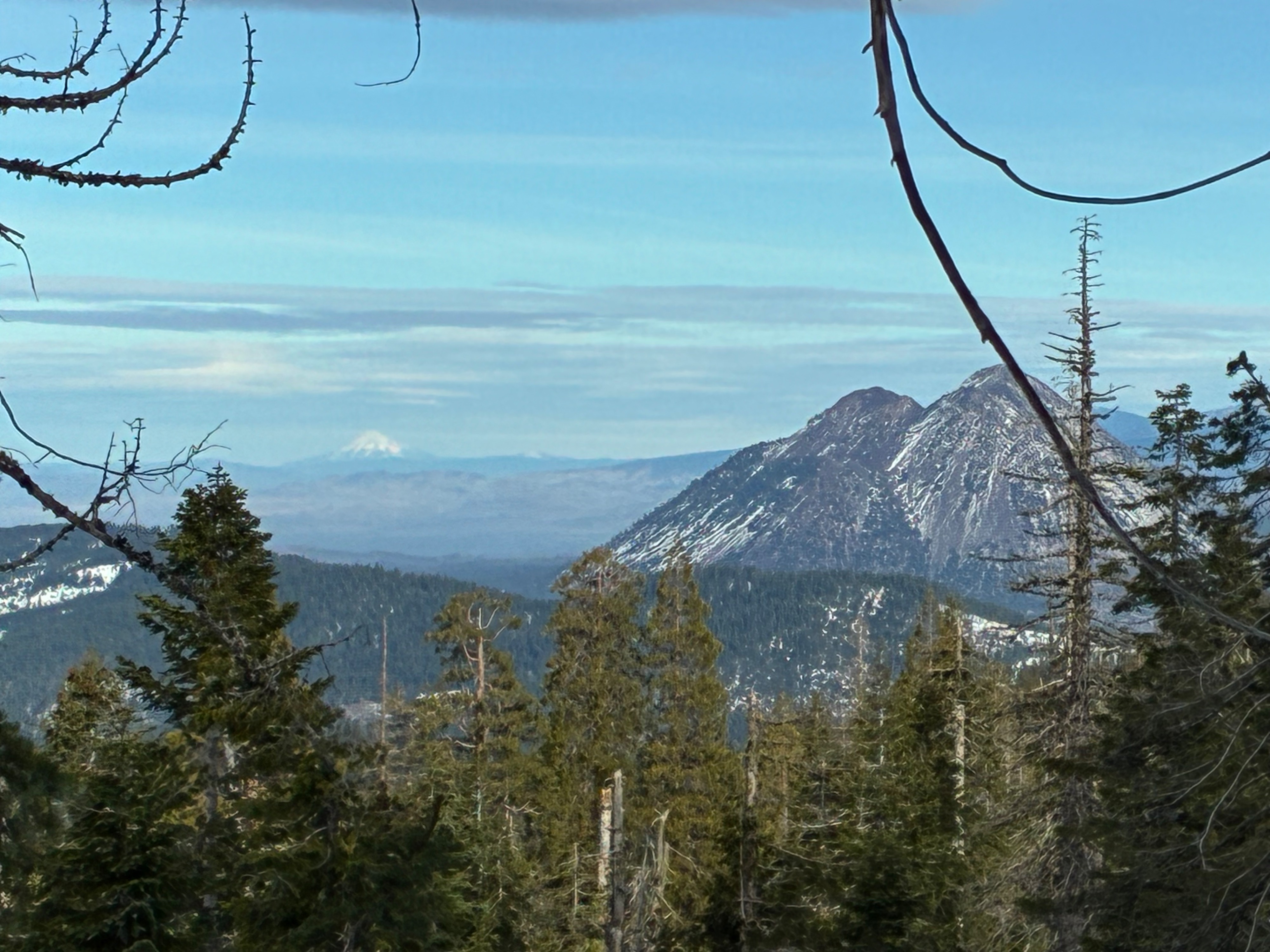
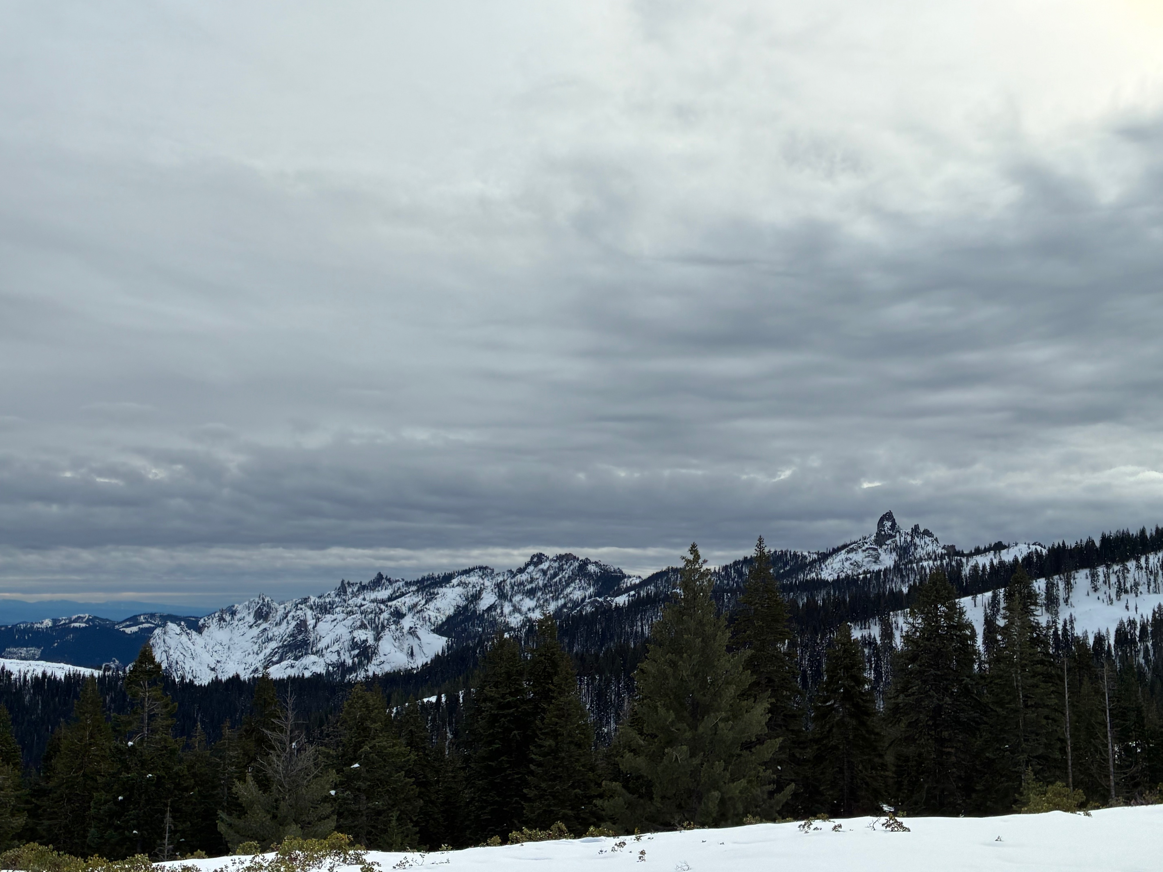
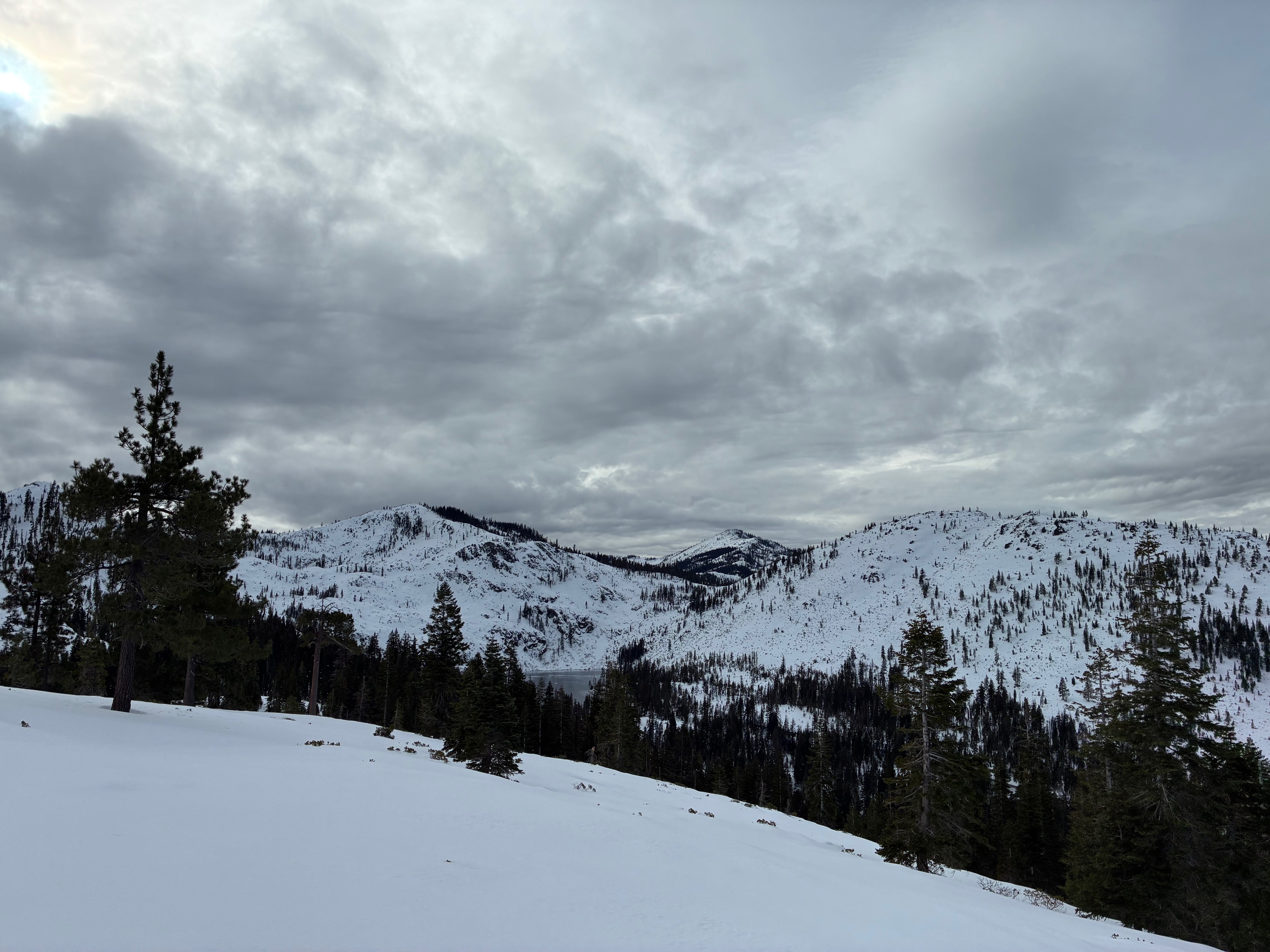
The outing started with mostly clear skies and high clouds and finished with overcast skies. Cloud ceilings also dropped as active weather approached. The temperature rose several degrees to about 50 F. Calm conditions were the norm.
Snowpack
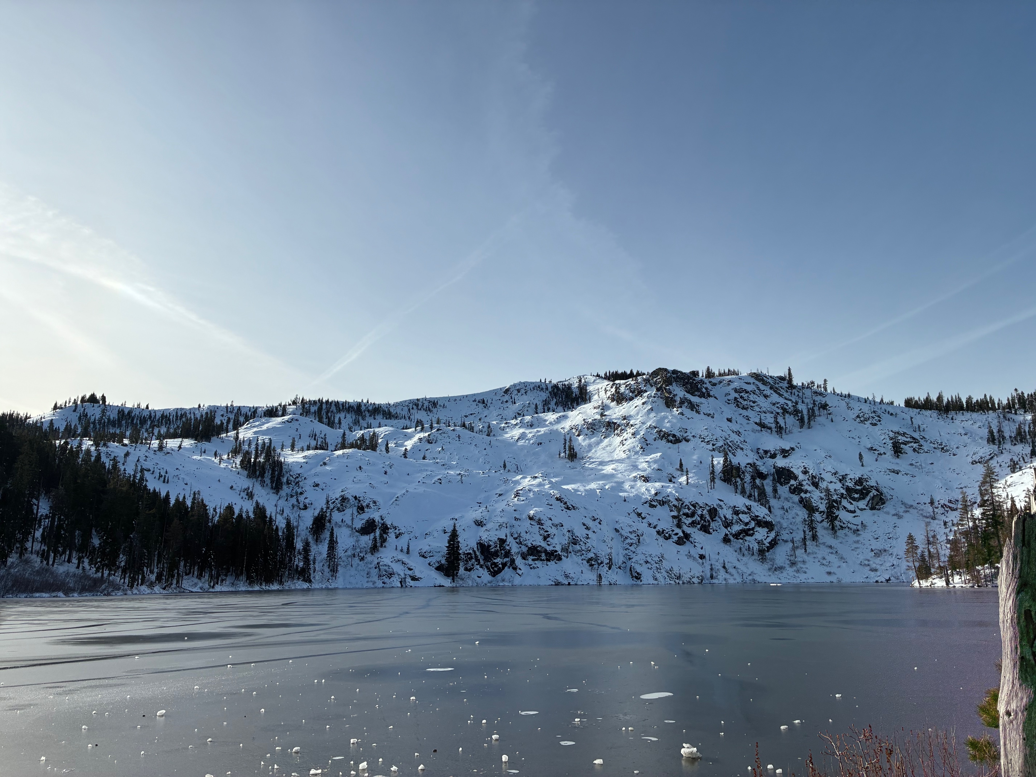
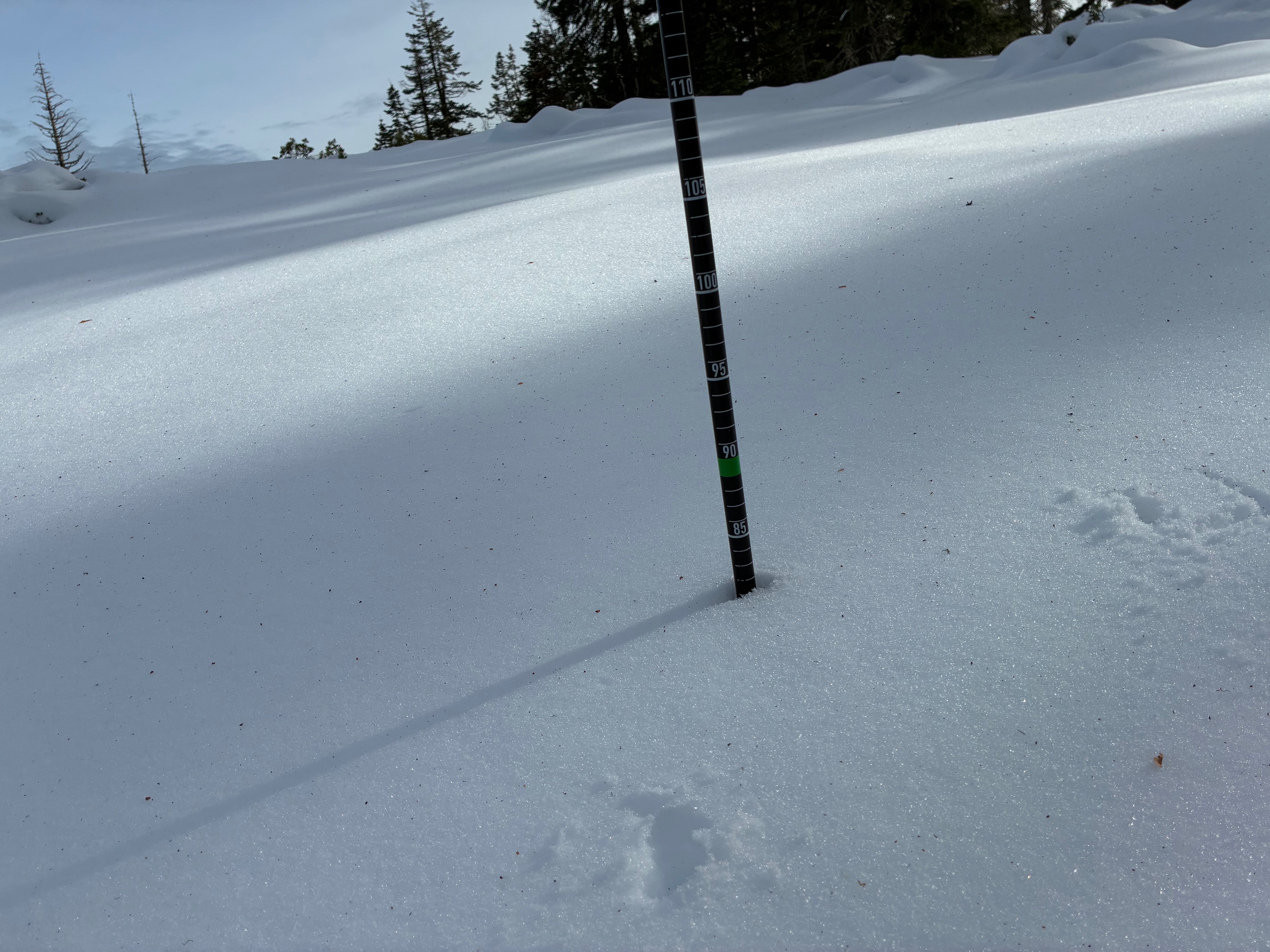
Near the Castle Lake Weather Station at 5,960 feet, I measured a snow depth of around 75 to 85 cm (~ 30 to 33 inches). This is a relatively open area near ridgeline that is somewhat sheltered by surrounding trees. In one location on flat ground near Castle Lake (5,400 feet) I measured about 72 cm (~28 inches). On an open northwest aspect at about 5700 feet, I measured about 80 cm (~ 31 inches). Despite the similarity in measurements, variability exists across the terrain. Expect to find shallower depths on more solar terrain, wind scoured areas, and in very dense forest and deeper depths in drifted terrain and steeper true north aspects.