
Quick report
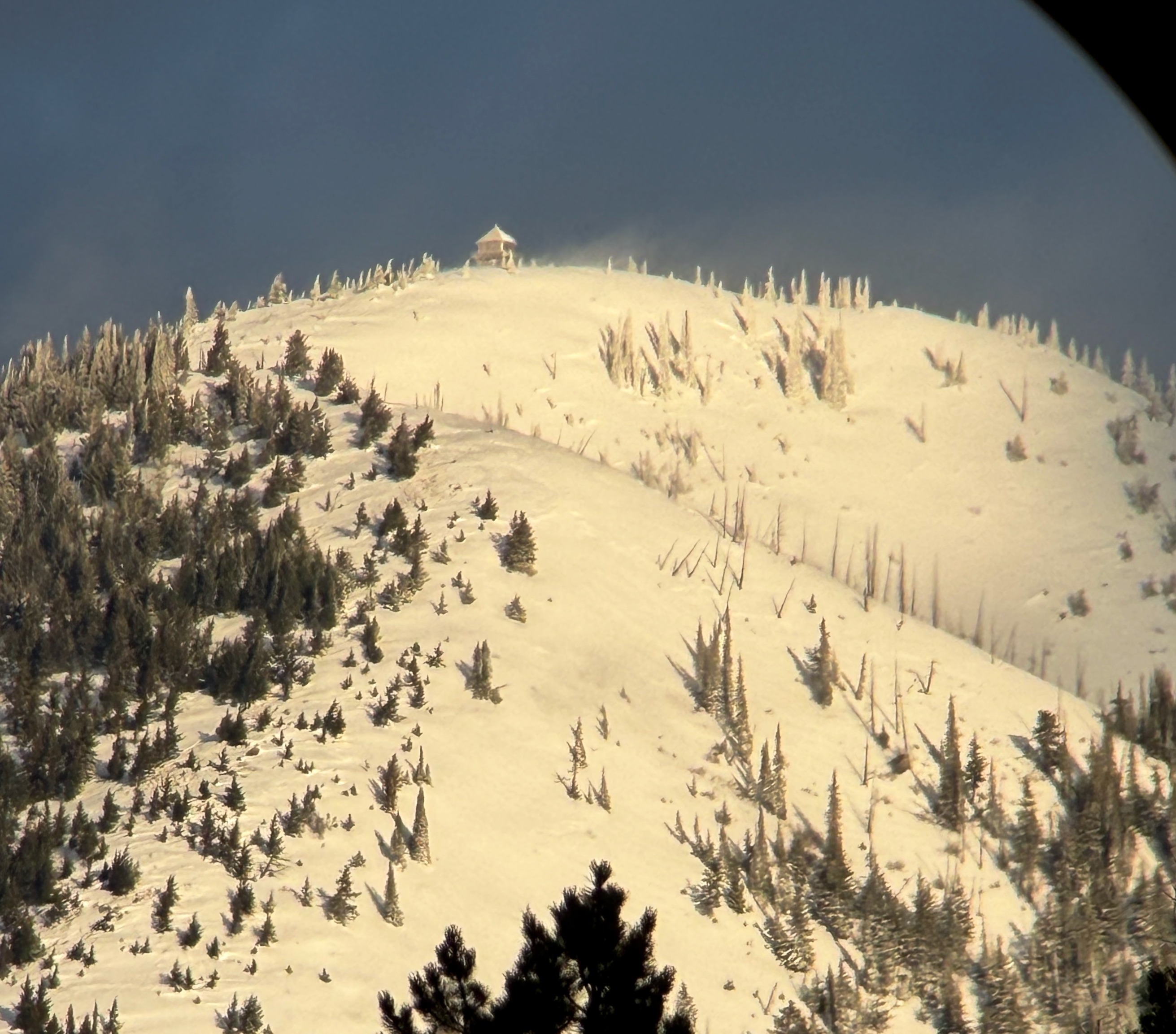
Todays field mission was thwarted by another round of high wind, access concerns (blown in roads, trails) and general apathy from the recent "roller coaster" of weather the forecast area is experiencing. Instead, I grabbed my spotting scope and took a drive up the HWY 2 corridor from West Glacier to Marias Pass to capitalize on fleeting views of the higher terrain as an approaching cold front moved through.
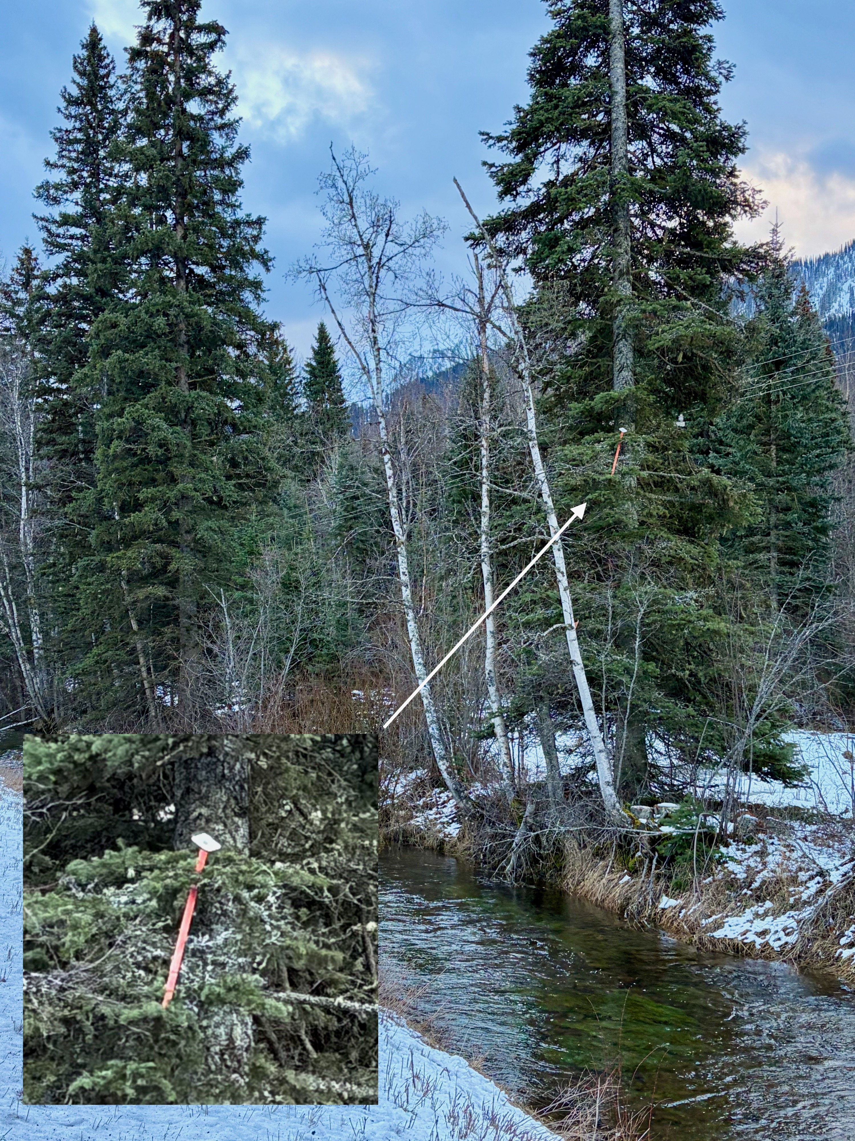
• Winds at all elevations were moderate to high throughout the day and trees were falling onto HWY 2. I observed one highway reflector extension (used for deep snow country) 25ft up a tree.
•Snow squalls subsided around 11am, giving way to partly sunny skies with great views of upper elevations.
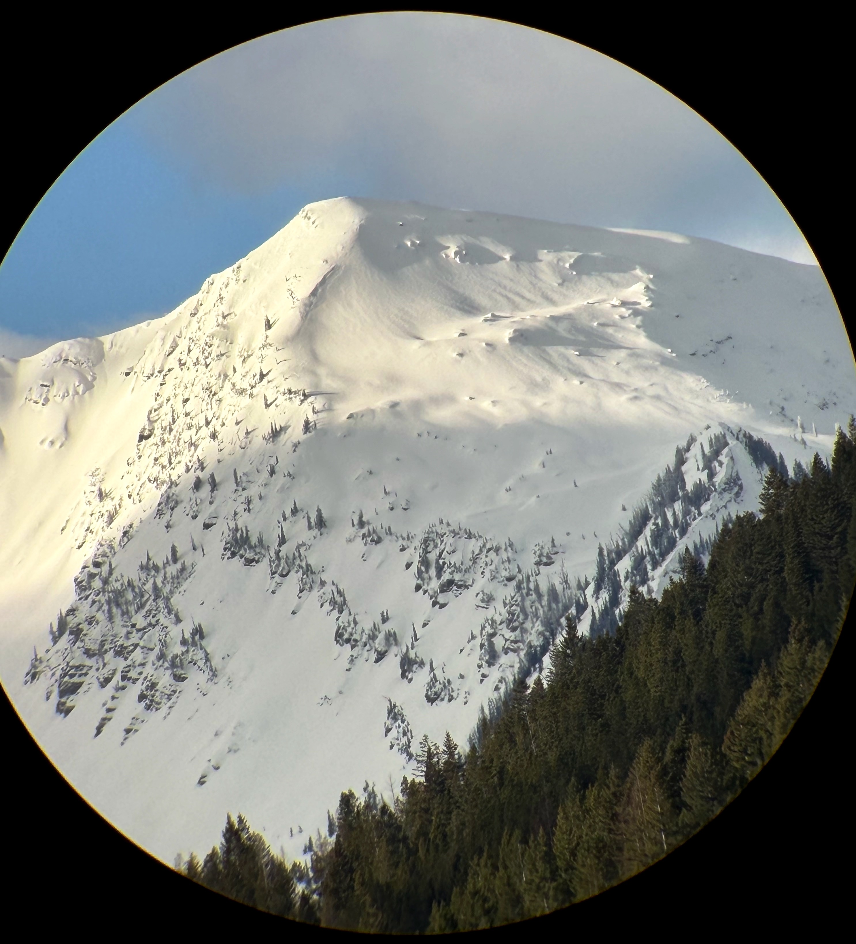
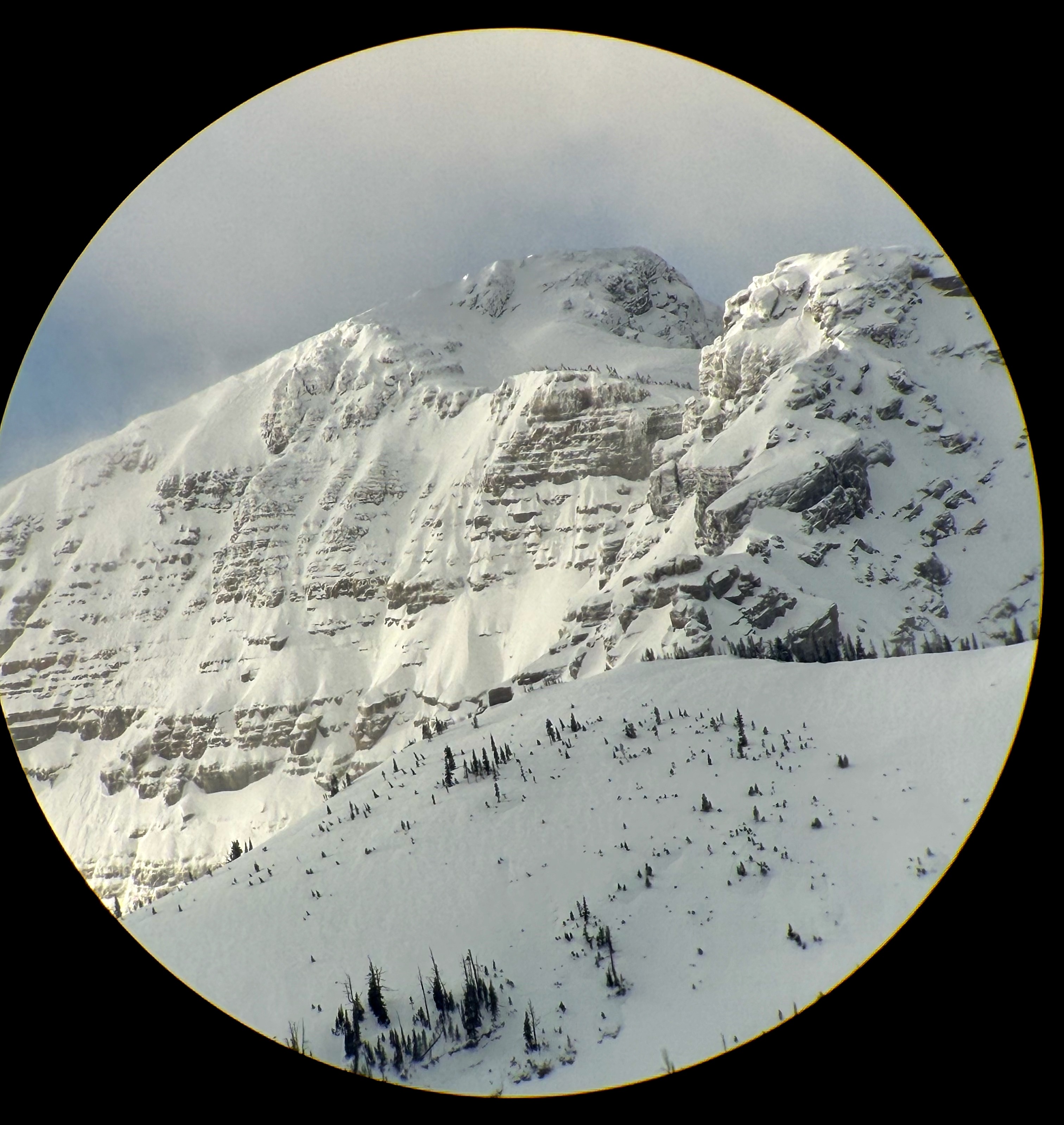
•Although "flagging" (snow banners from strong winds) were present at upper elevations, the lack of snow for transport was minimal. Some might say "dust on crust".
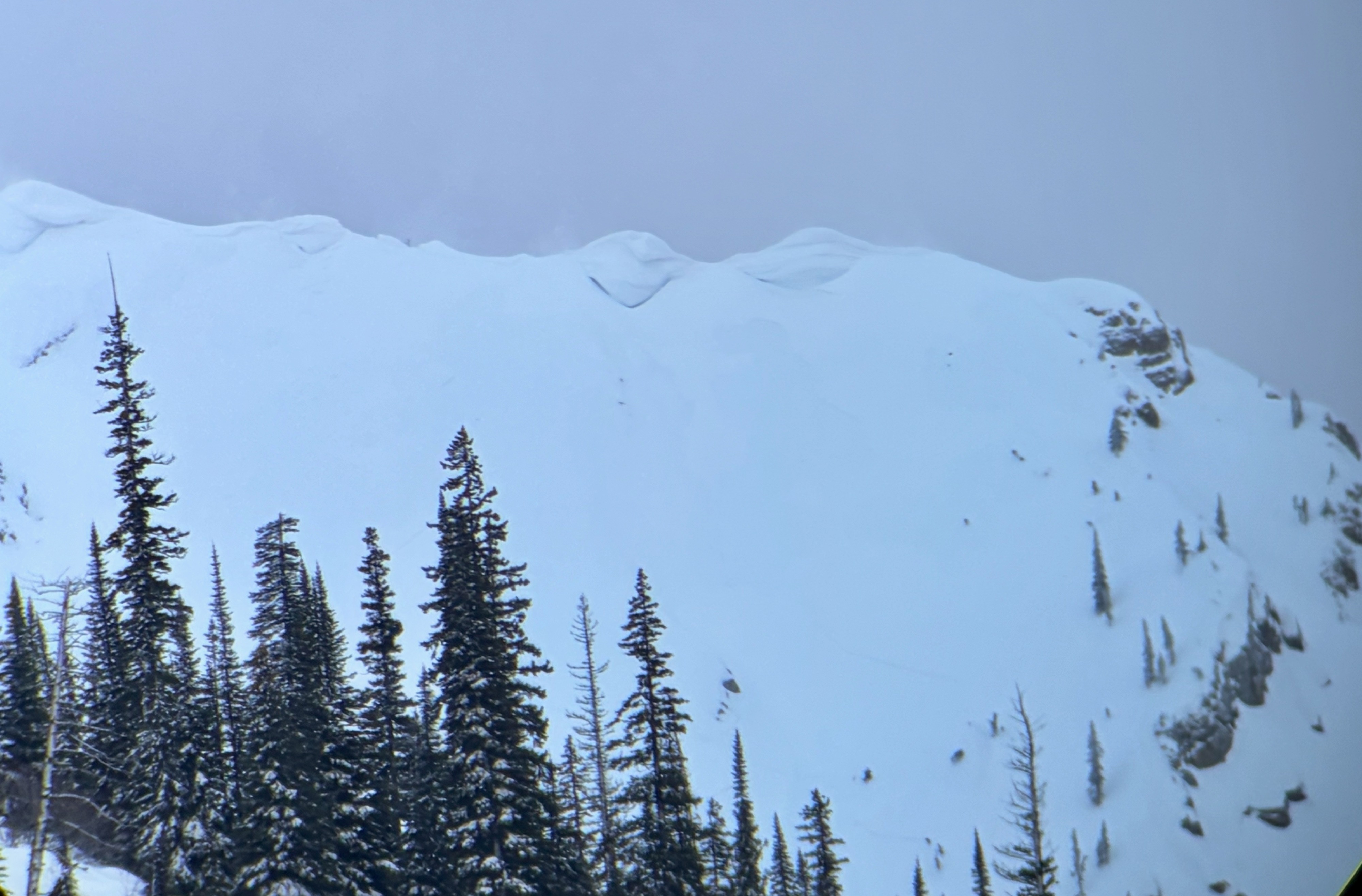
•Cornice development, despite recent wind and precipitation, was minimal.
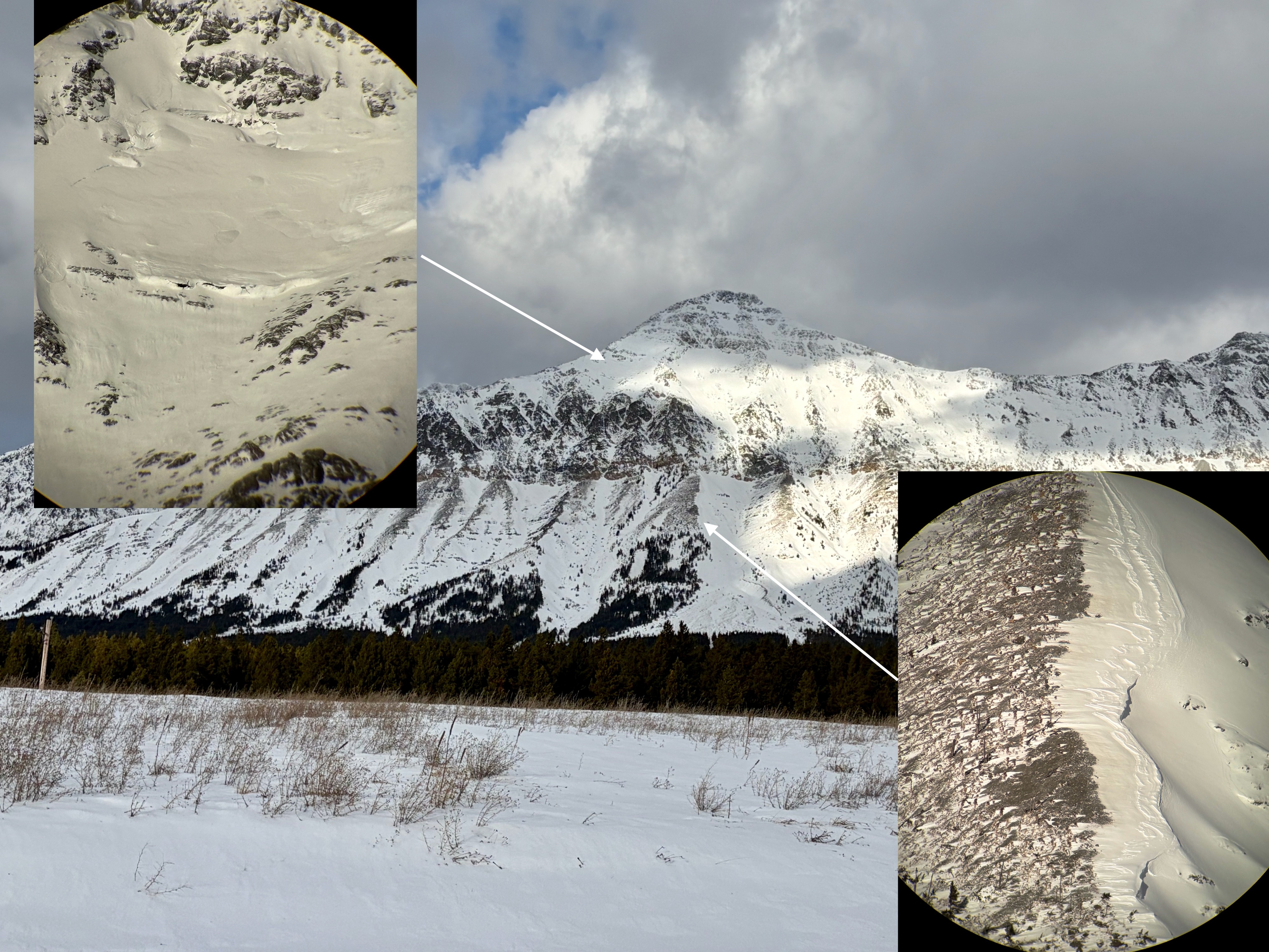
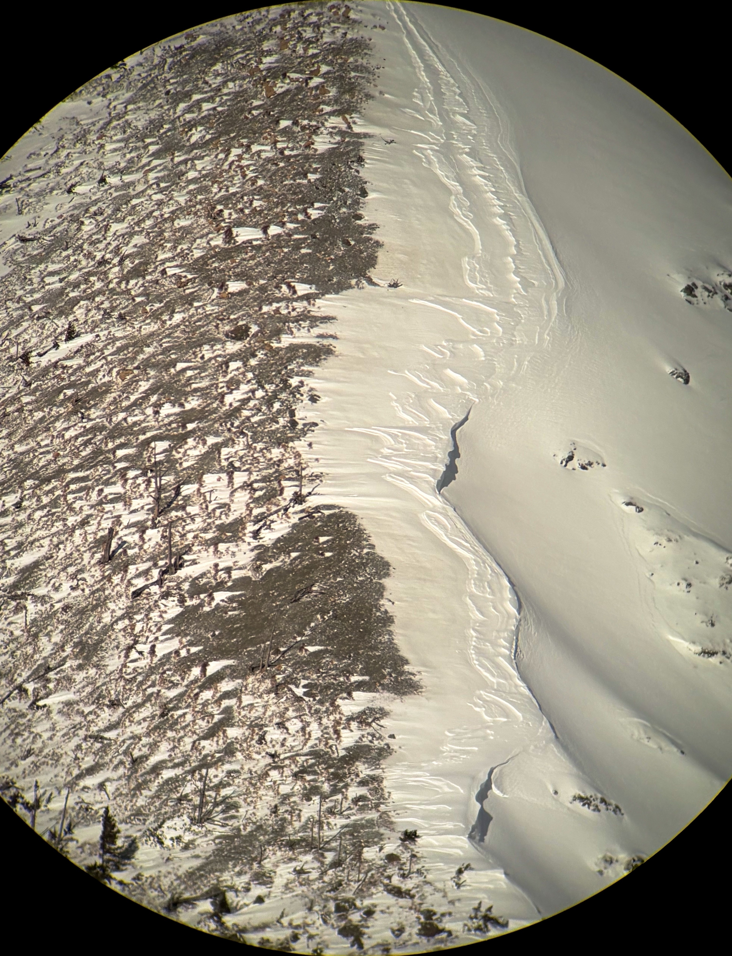
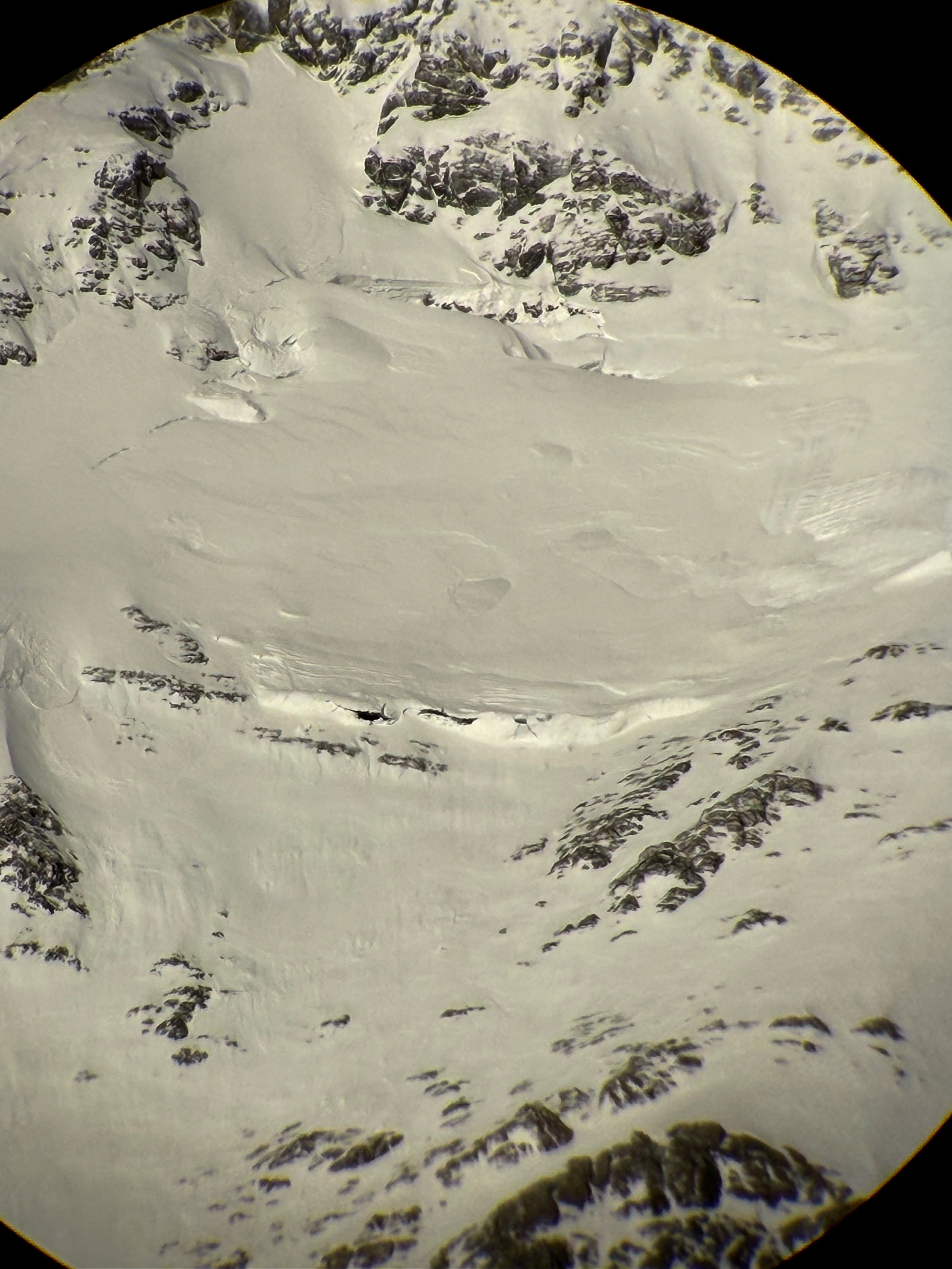
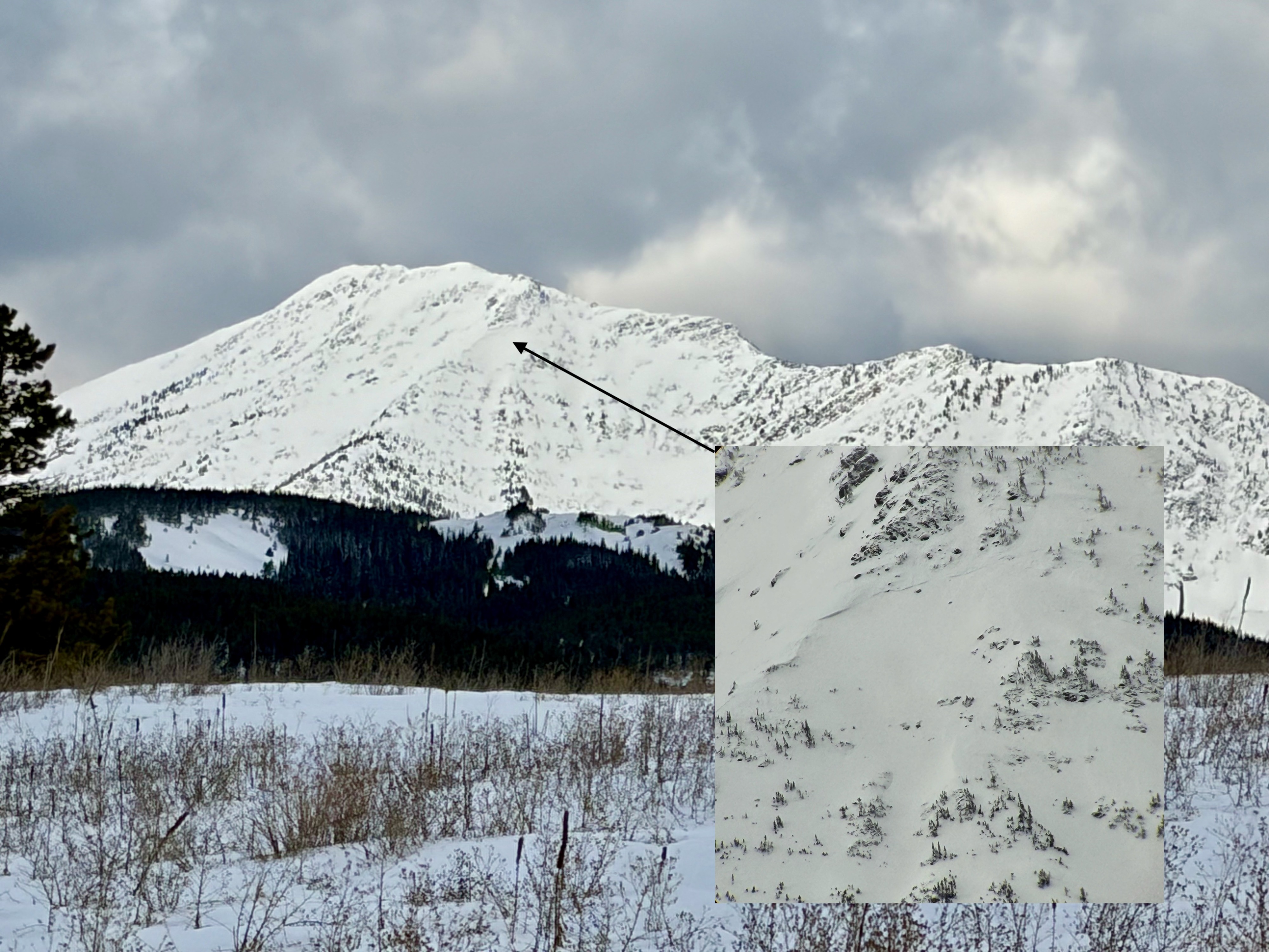
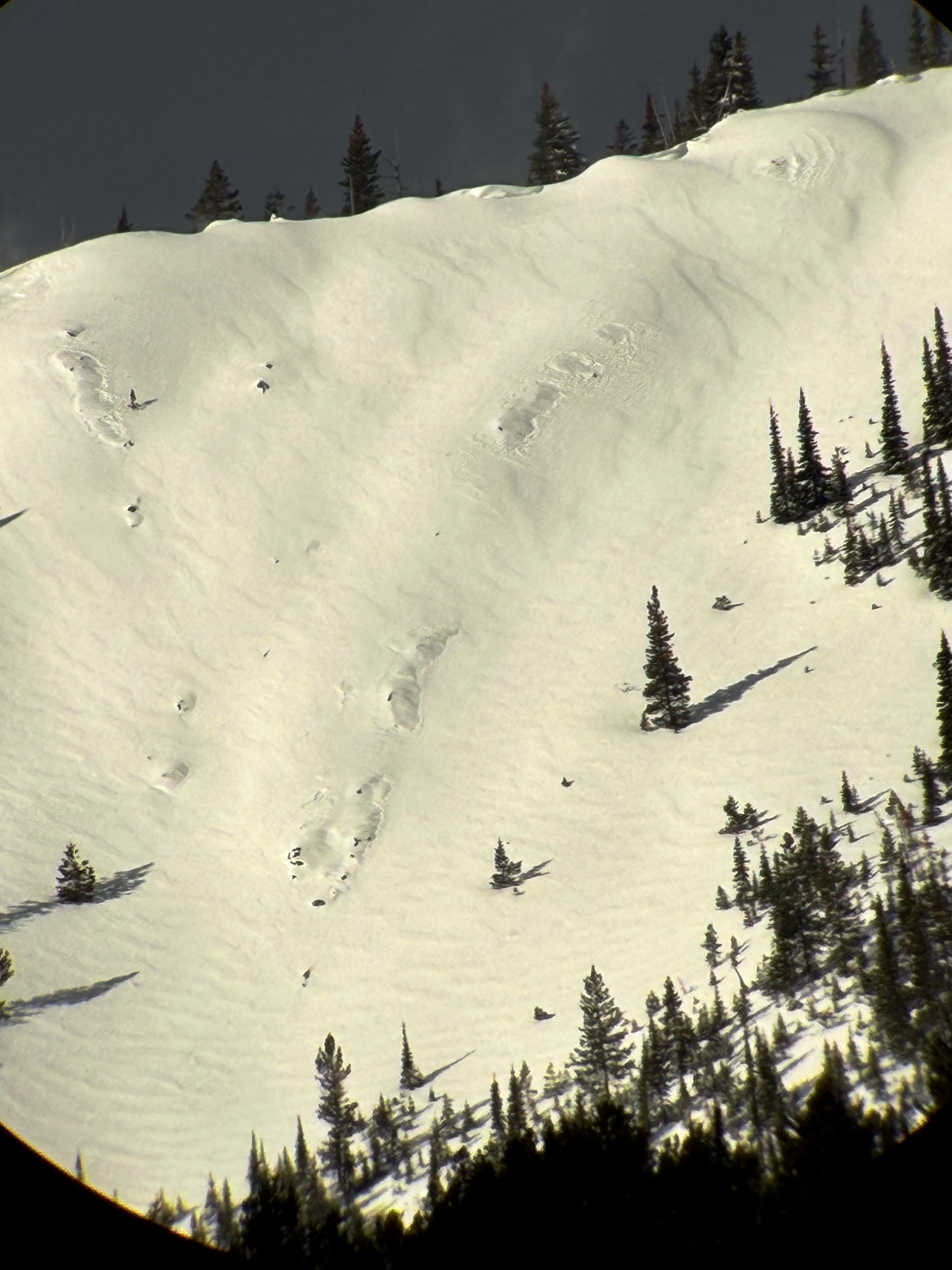
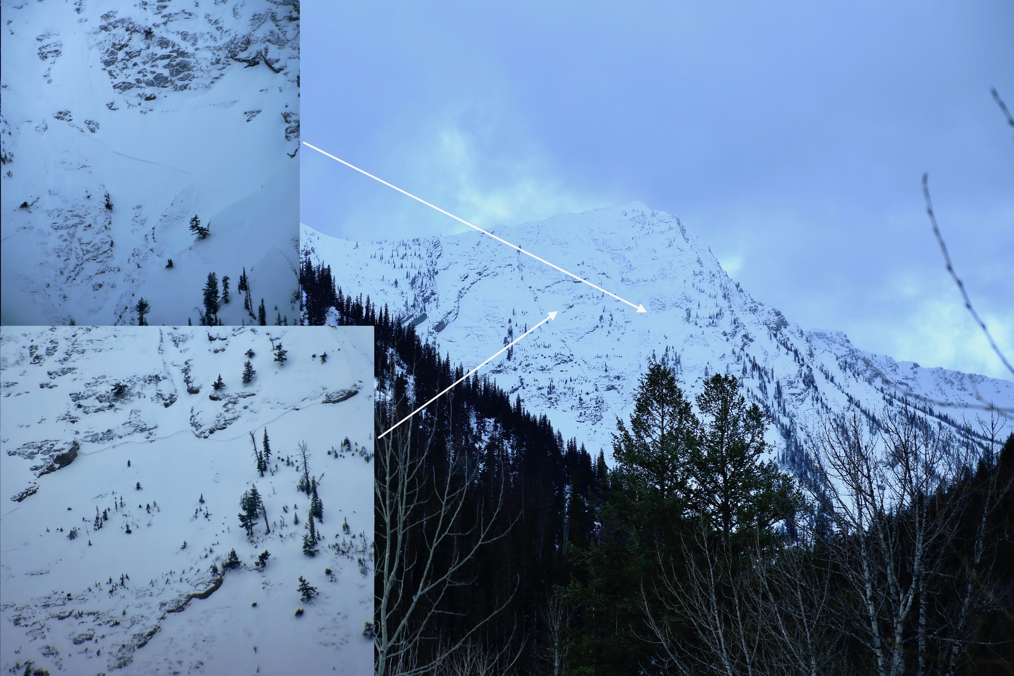
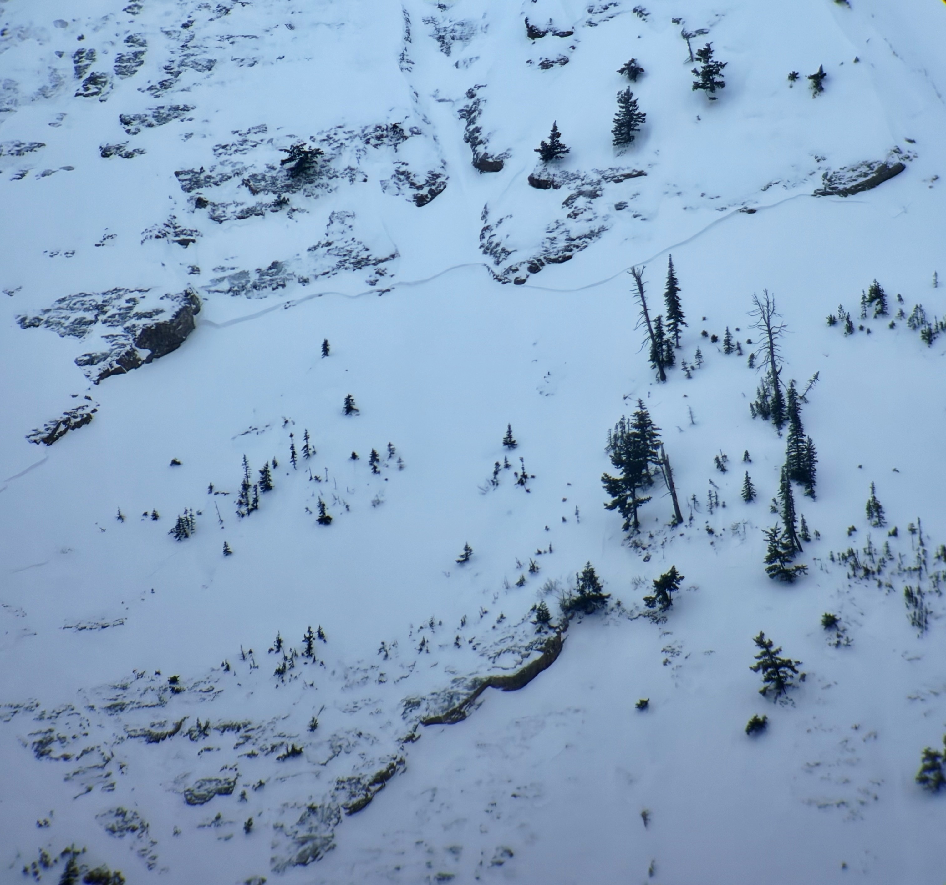
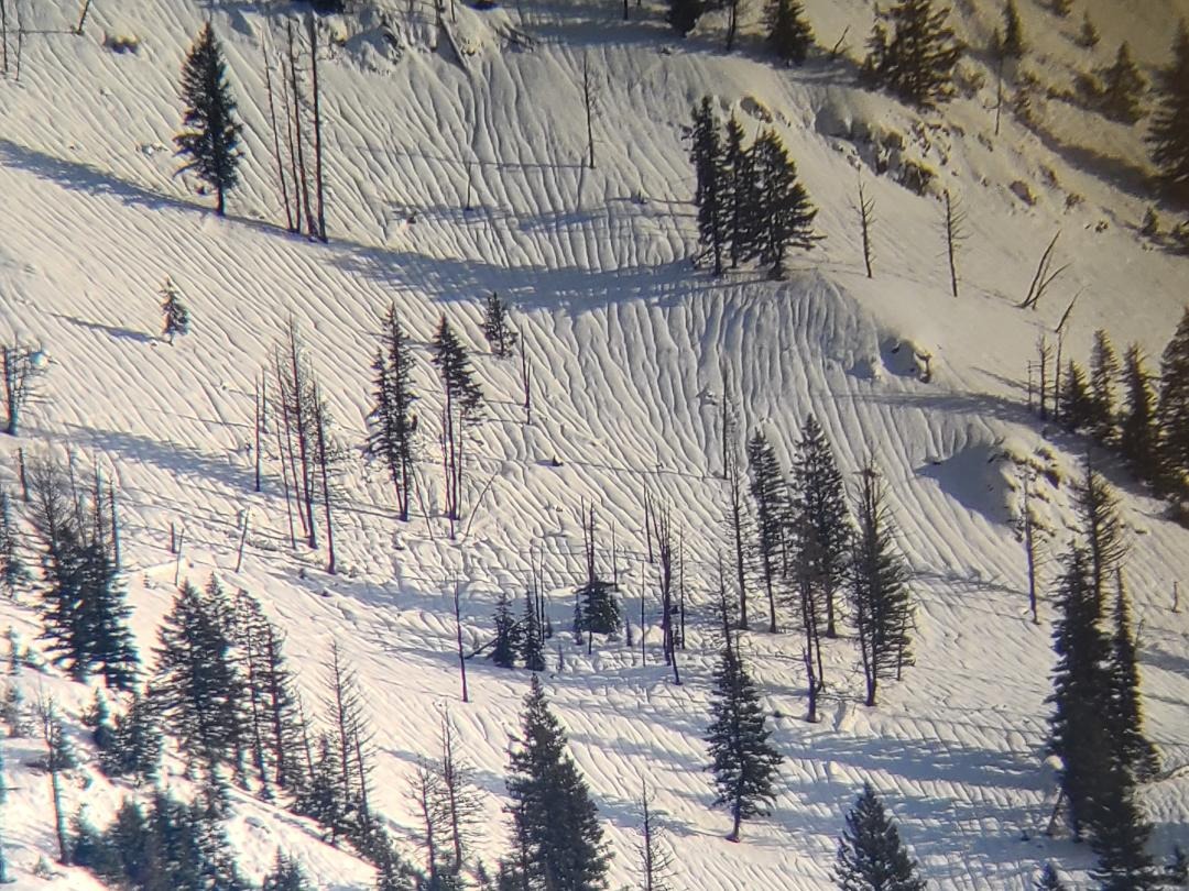
•Close observation of the terrain around Mt. Penrose (specifically the Skiumah drainage) revealed avalanche activity from recent wind loading (E 6000-7500'). Of note, the natural wind slab activity was confined to unsupported, steep slopes (think rollovers, cliffs, convexities). No natural avalanche activity was observed on supported (concave, planar) terrain, however, you would be certain to find windslab, especially in leeward, or crossloaded, locations.
•The wind slab activity (avalanche problem of the day), was varying in thickness, albeit on the thin side (<12"). One heavily windloaded location produced a crown that I estimated to be in the 1-2ft category, however it tapered off to a thinner slab.
•Terrain near Marias Pass/JFS Canyon was being hammered by the wind. In scoured locations, a sheen of ice/hardpack snow was observed on upper elevation slopes, which was a likely bed surface for the natural wind slab activity as well as something to monitor through upcoming storms.
•One large glide avalanche that forms most winters on the South face of Little Dog (~8000ft), was present after the recent rain and warm weather had begun its formation, but seemingly locked up for the time being.
Take home message....minimal amounts of snow for transport creating thin windlabs on leeward slopes. These were failing naturally in steep, unsupported, alpine terrain.
Weather
- Air Temp
- 20-35*
- Cloud Cover
- scattered
- Wind Loading
- light
- Snow Avail For Transport
- small smounts
Partly cloudy skies with moderate to high wind gusts at all elevations.