
Quick report
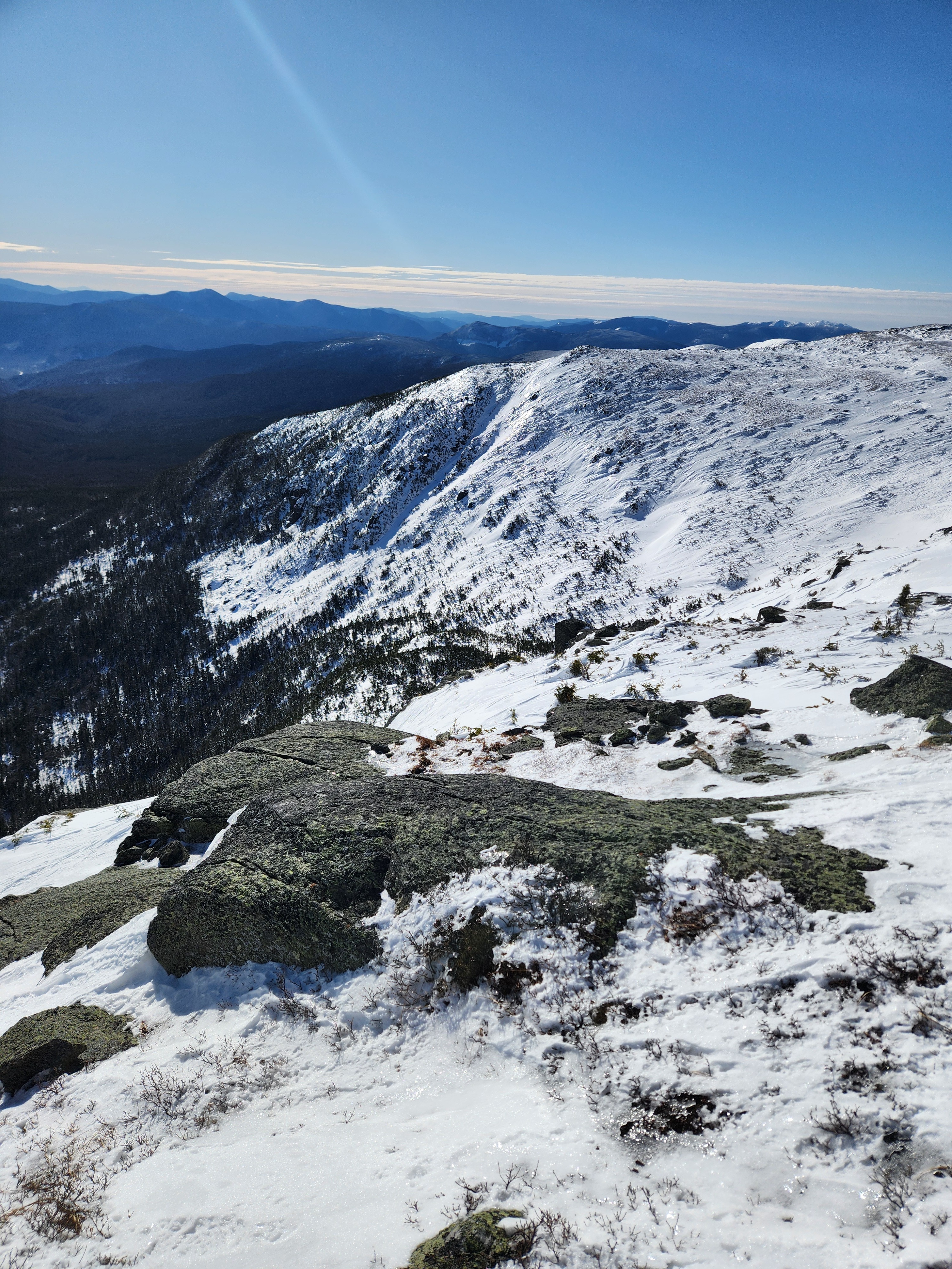
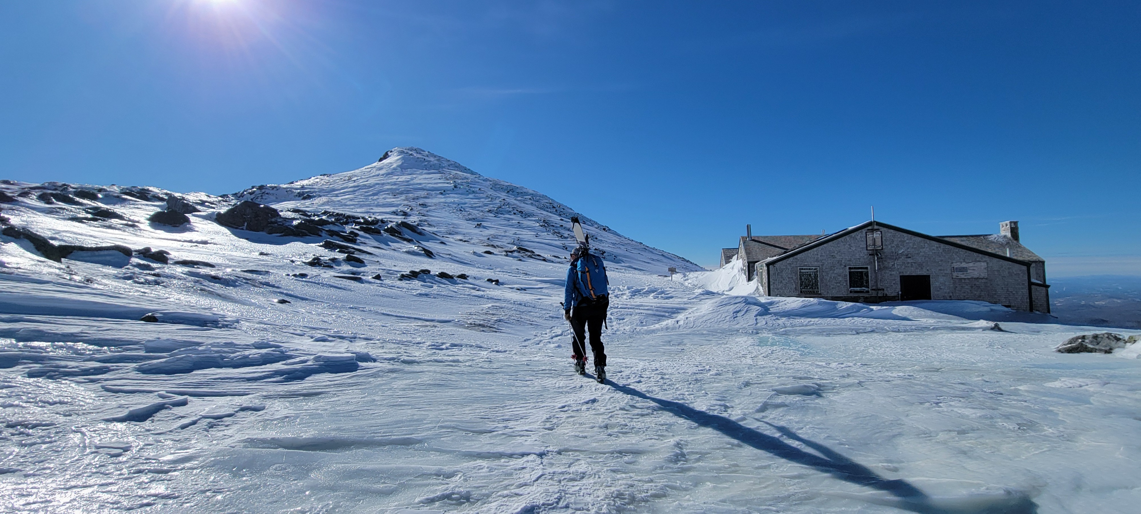
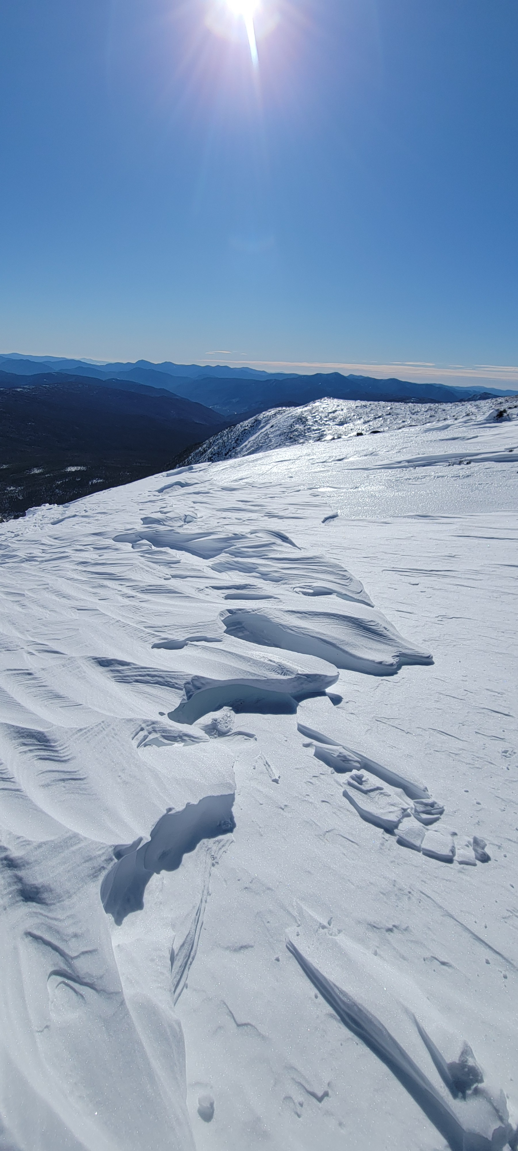
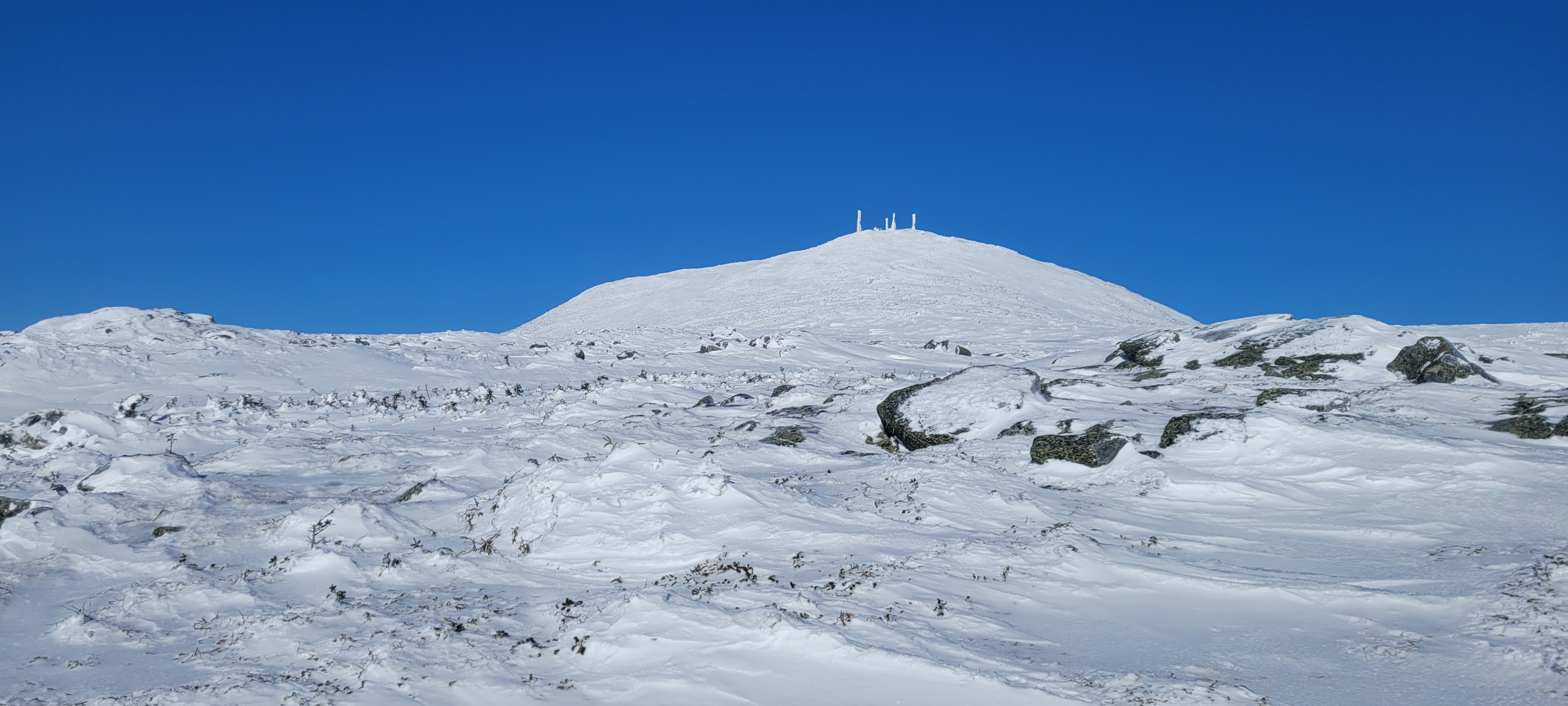
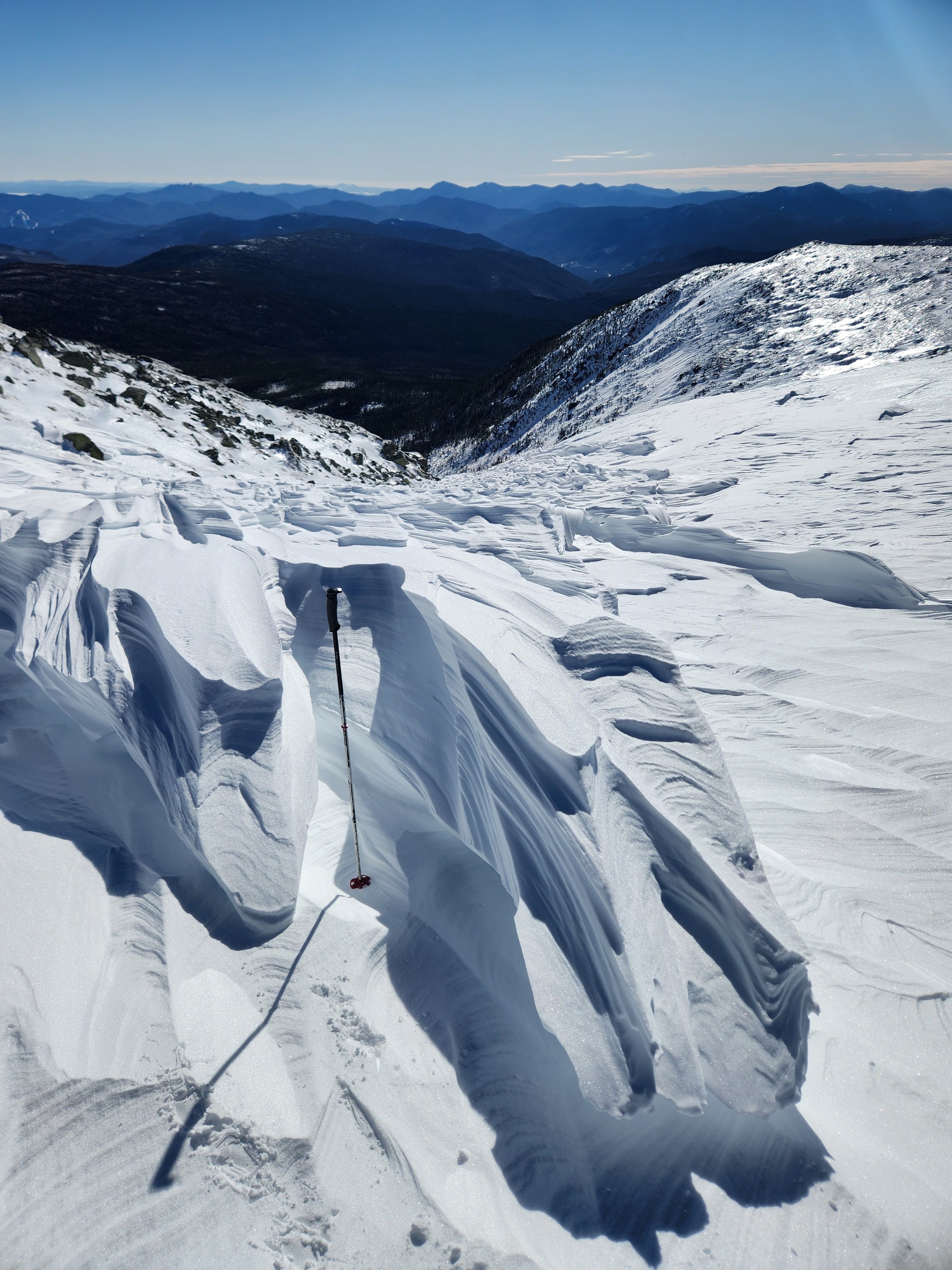
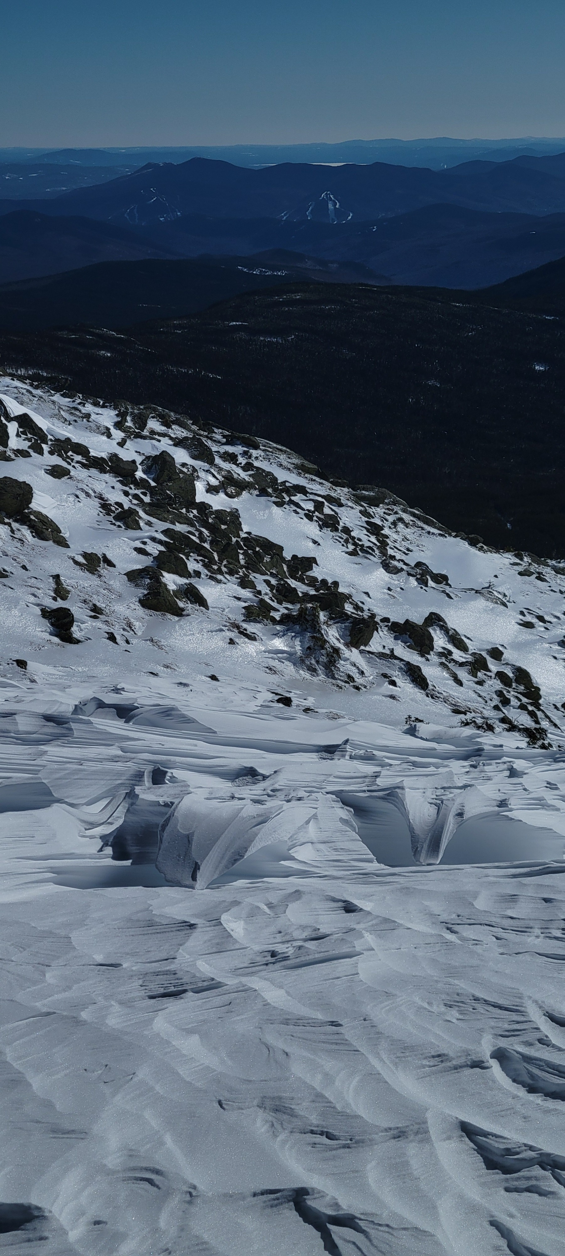
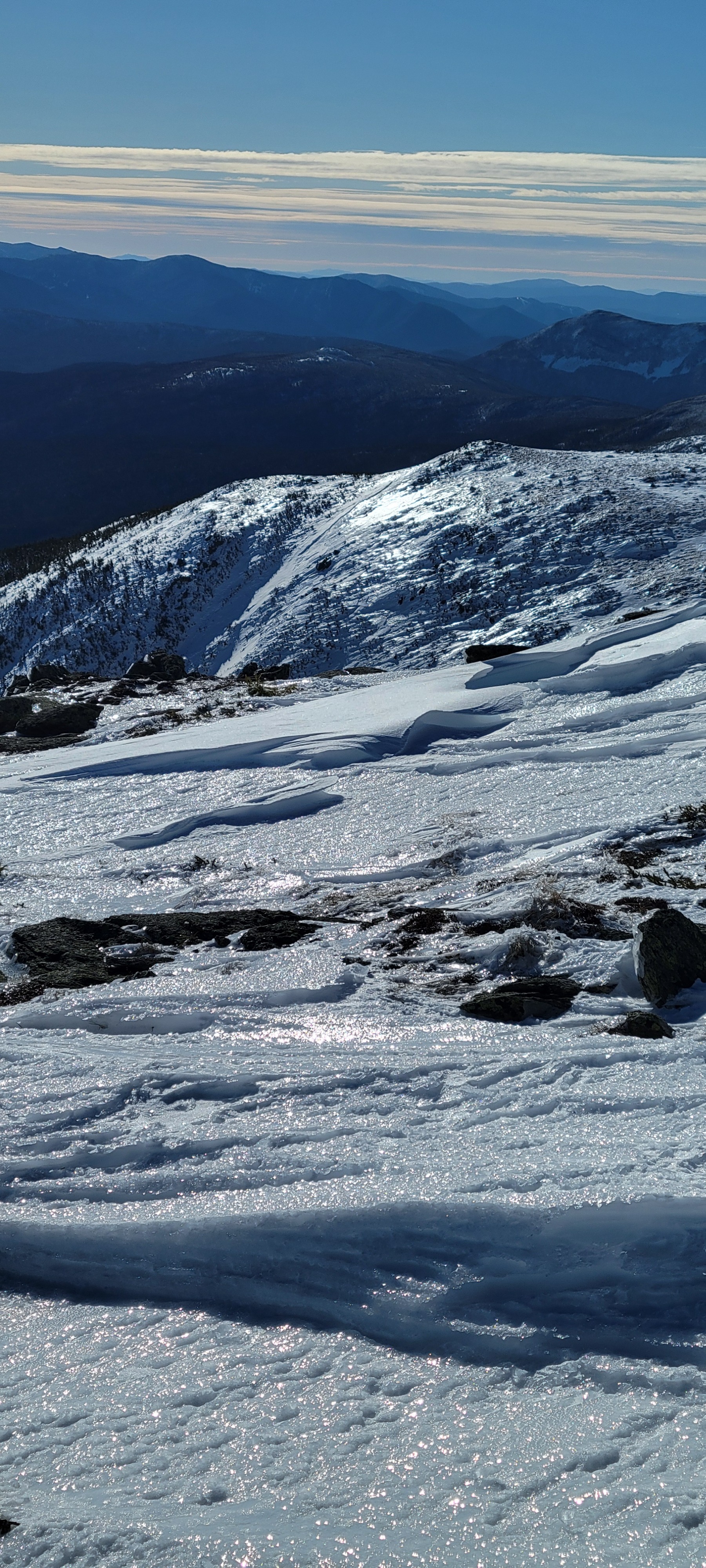
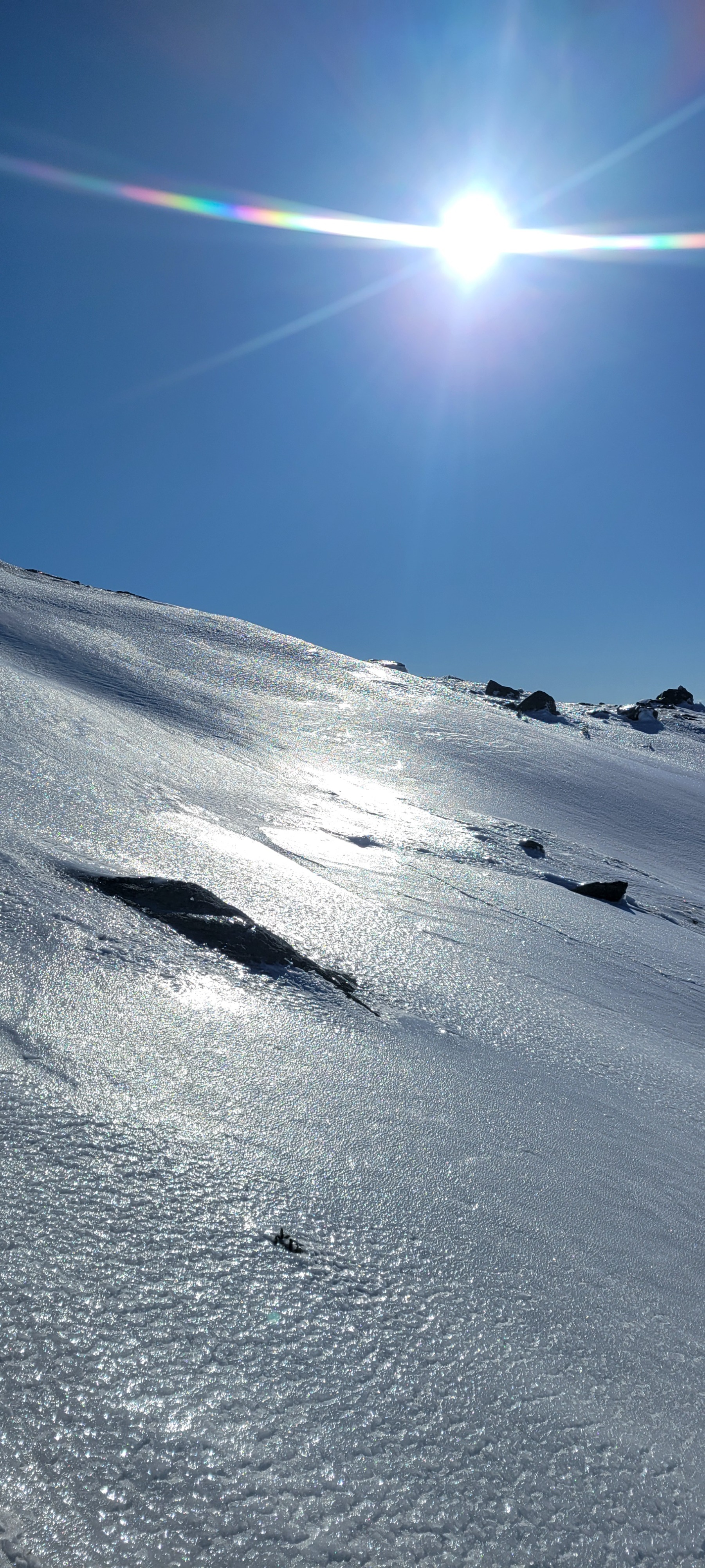
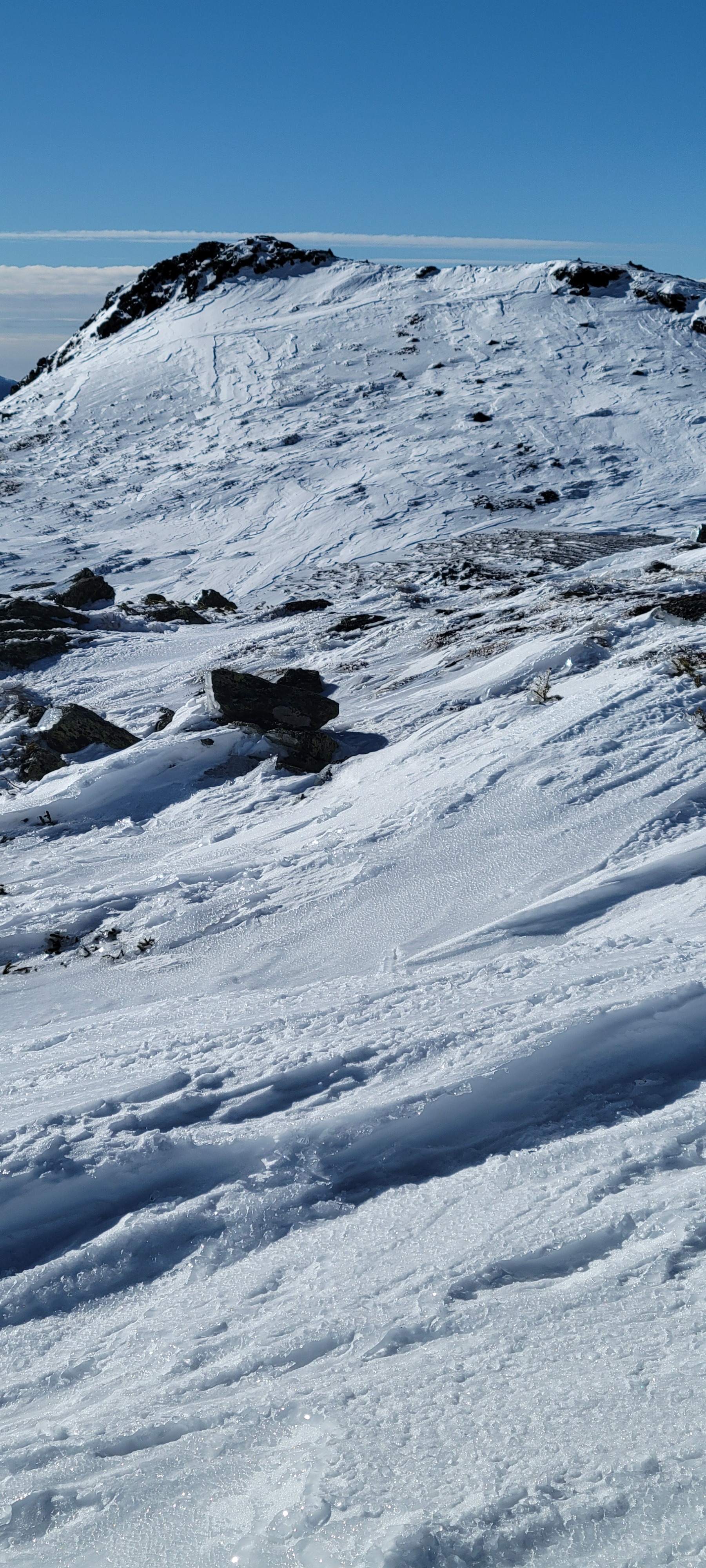
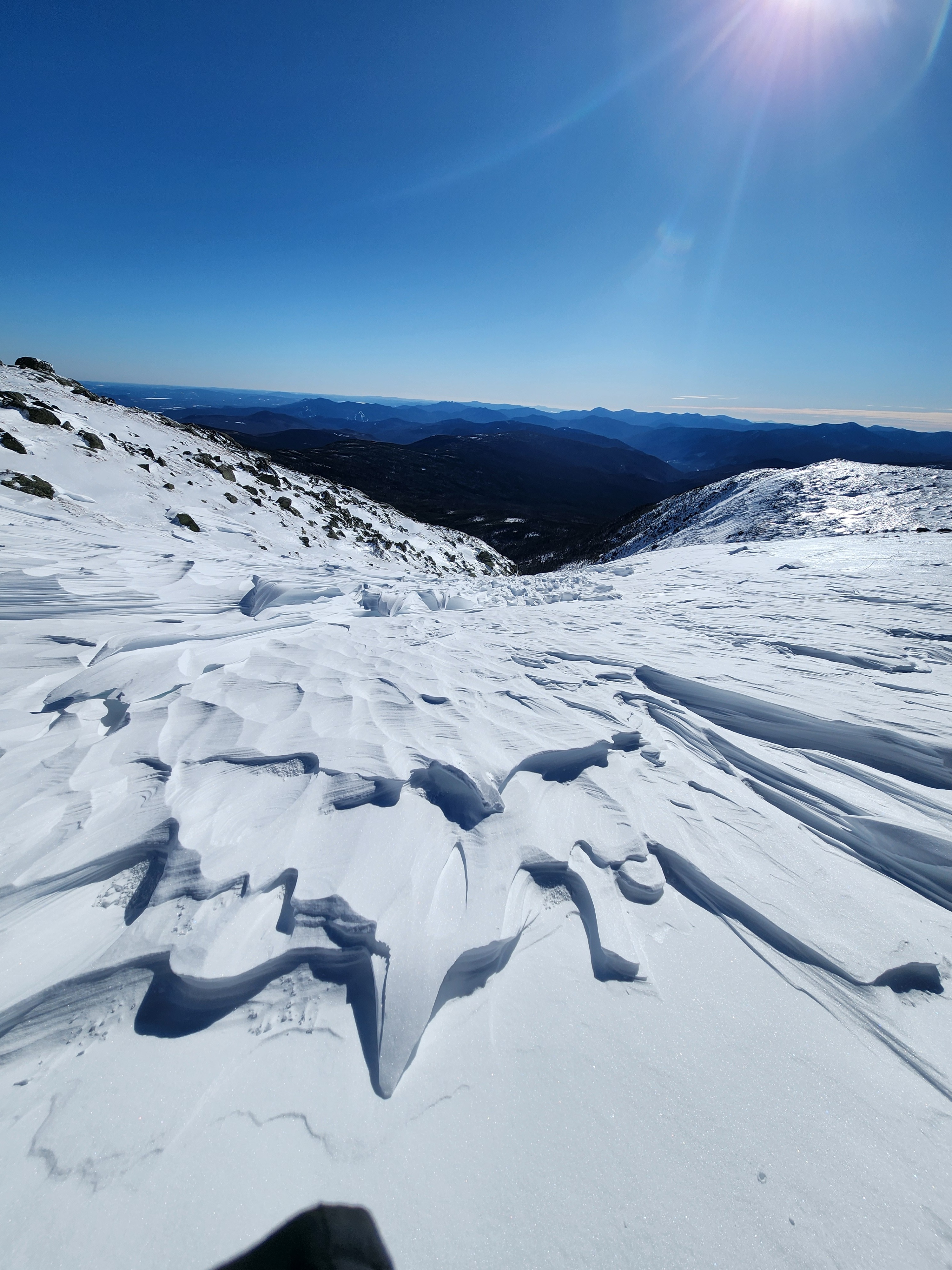
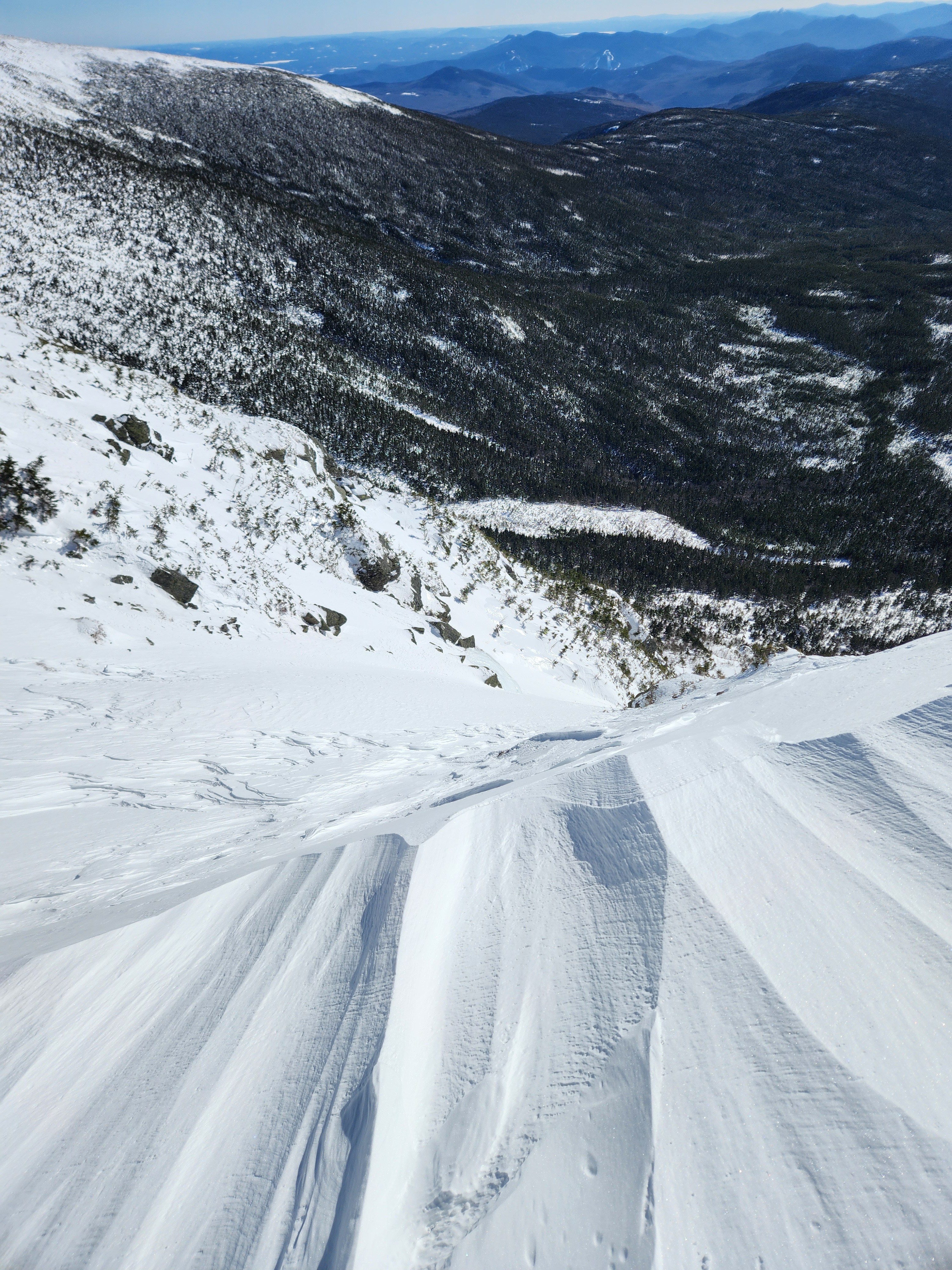
Observed scoured and wind-textured surfaces above treeline today while traveling past Lakes of the Clouds en route to Oakes Gulf. Once above treeline, skinning became challenging due to widespread exposure of a scoured melt-freeze crust. The crust was generally supportable, though occasional breakthroughs occurred. Boot penetration averaged ~5 cm in unsupportable areas. In more protected areas, pockets of wind-affected snow were present. Wind-affected surfaces within the col were supportable throughout. Ridgelines near the top of Oakes were heavily scoured, while start zones held significant amounts of wind-affected snow. We chose not to descend Oakes and instead turned around, heading toward Monroe Brook.
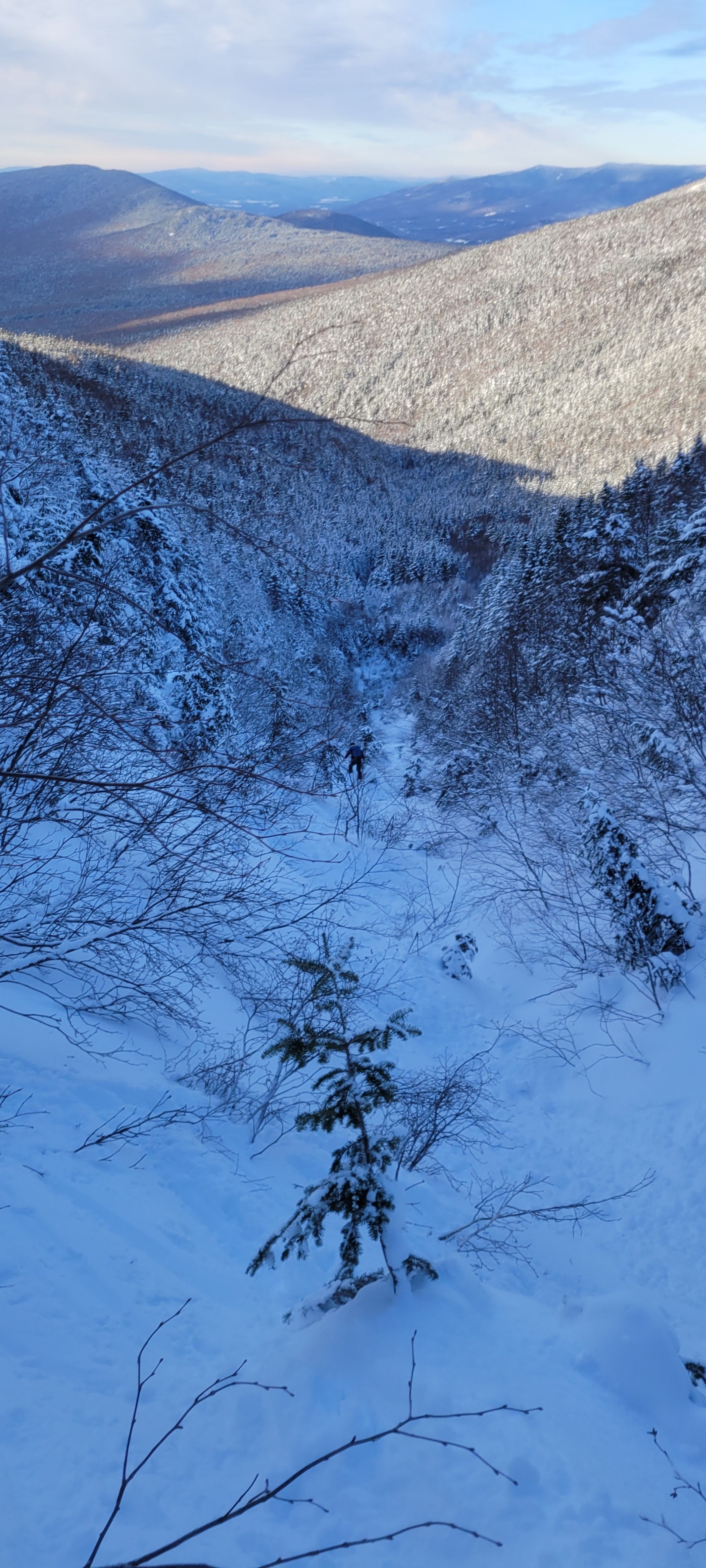
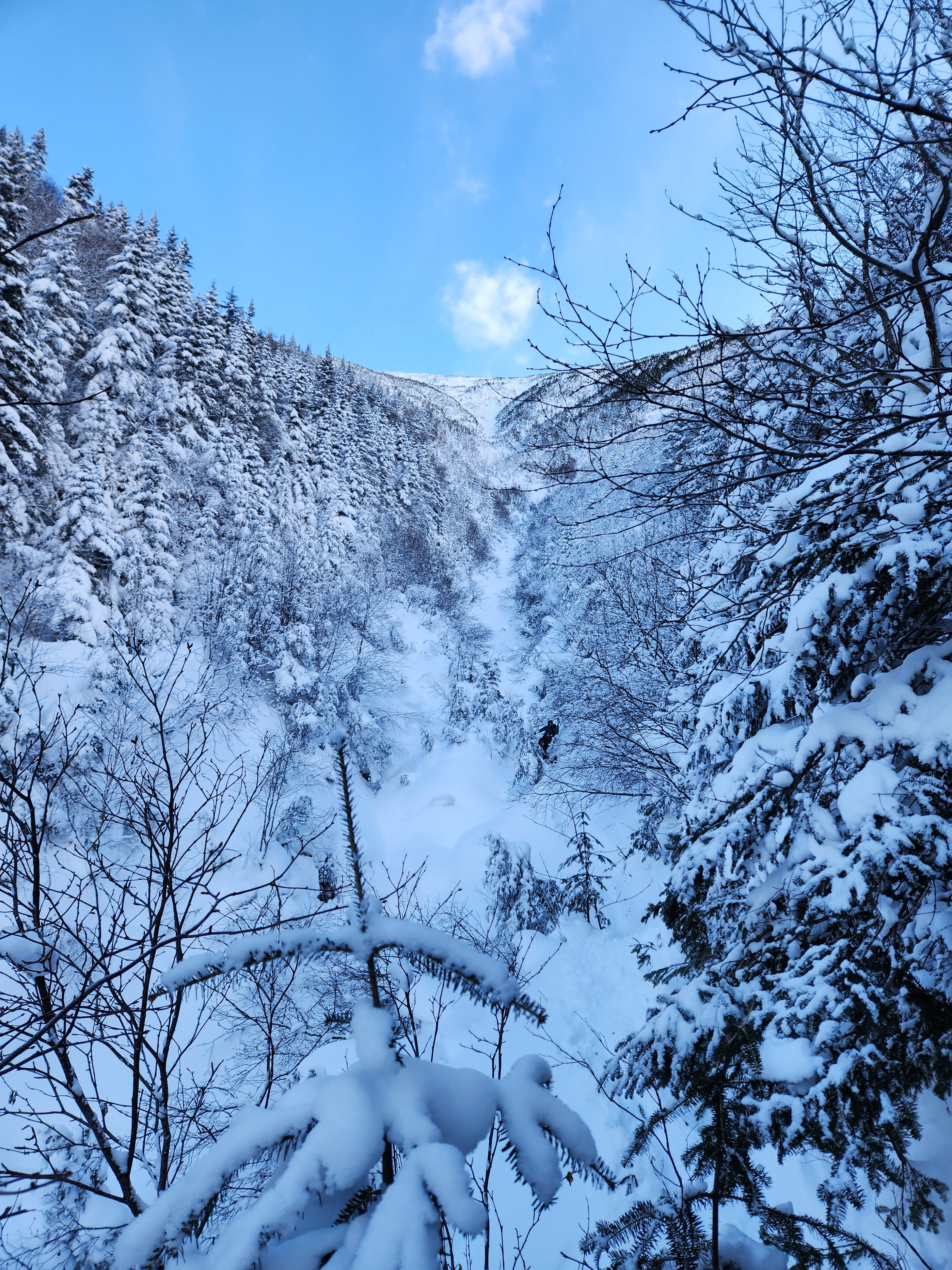
Ridgelines near Monroe Brook showed similar scouring, though with more frequent pockets of wind-affected snow. Exposed crust in this area was less supportable. Initial turns in Monroe Brook were soft, with ski penetration of 5–10 cm. After approximately 200 feet of descent, conditions became increasingly bushwhacky and deep. Portions of the brook were thinly covered, with flowing water present beneath soft snow.
Weather
- Cloud Cover
- clear
- Wind Loading
- none
- Snow Avail For Transport
- none
Clear, sunny skies throughout our tour today. Light wind from the West once we were above treeline. Seasonably warm day.
Snowpack
While the majority of the snow we found was firm, we did observe surface hoar below treeline along our ascent up the Ammonoosuc Ravine Trail, as well as during our descent on Monroe Brook. We used a quick hand shear during our descent. We found unconsolidated snow and got no result.