
Quick report
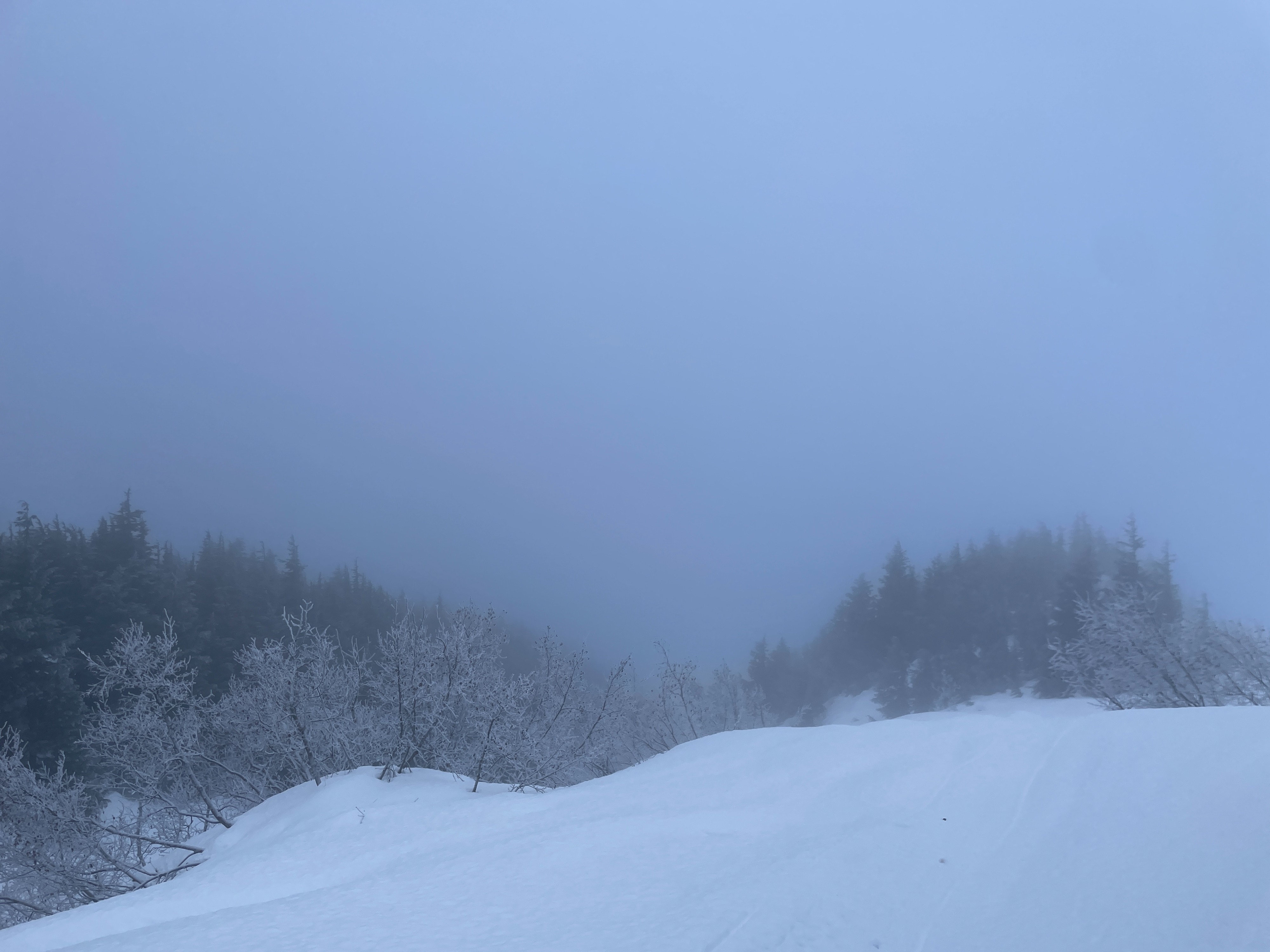
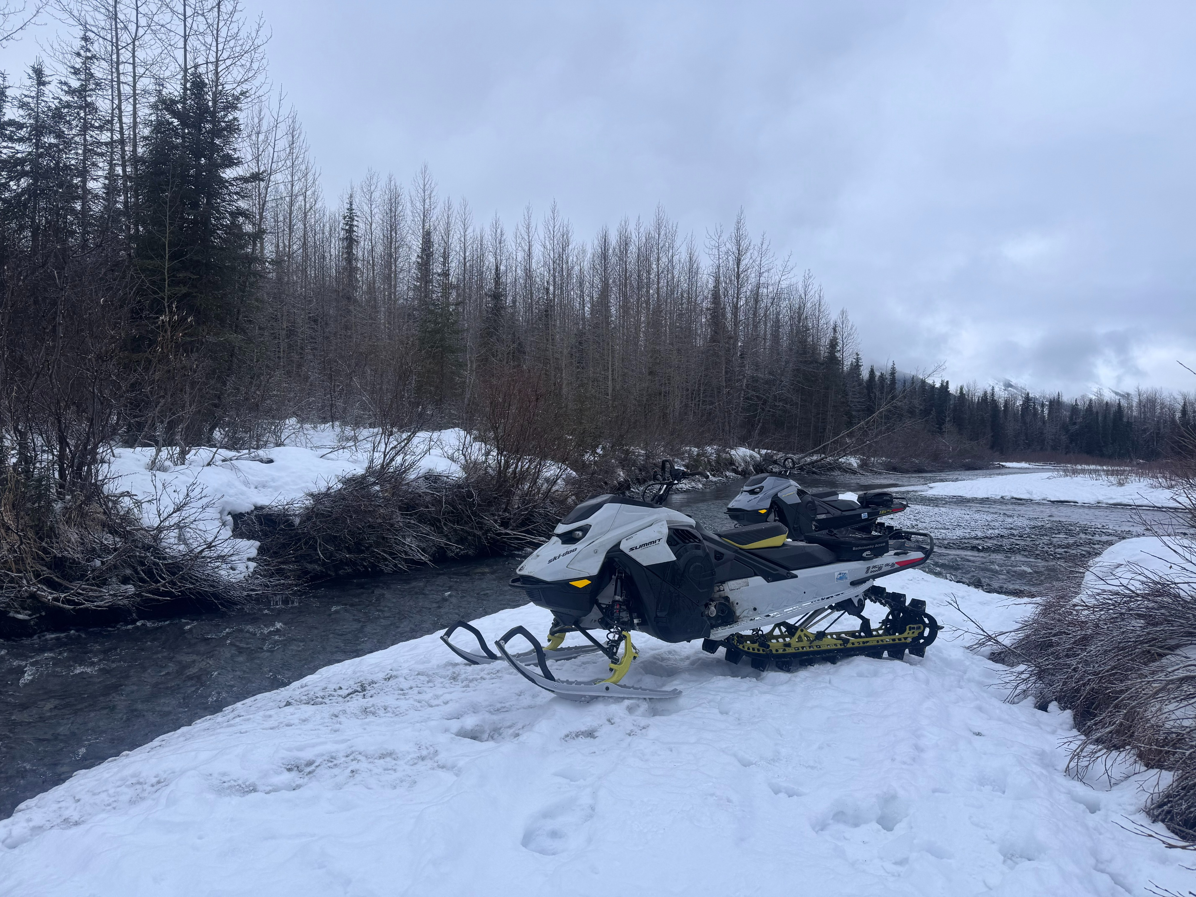
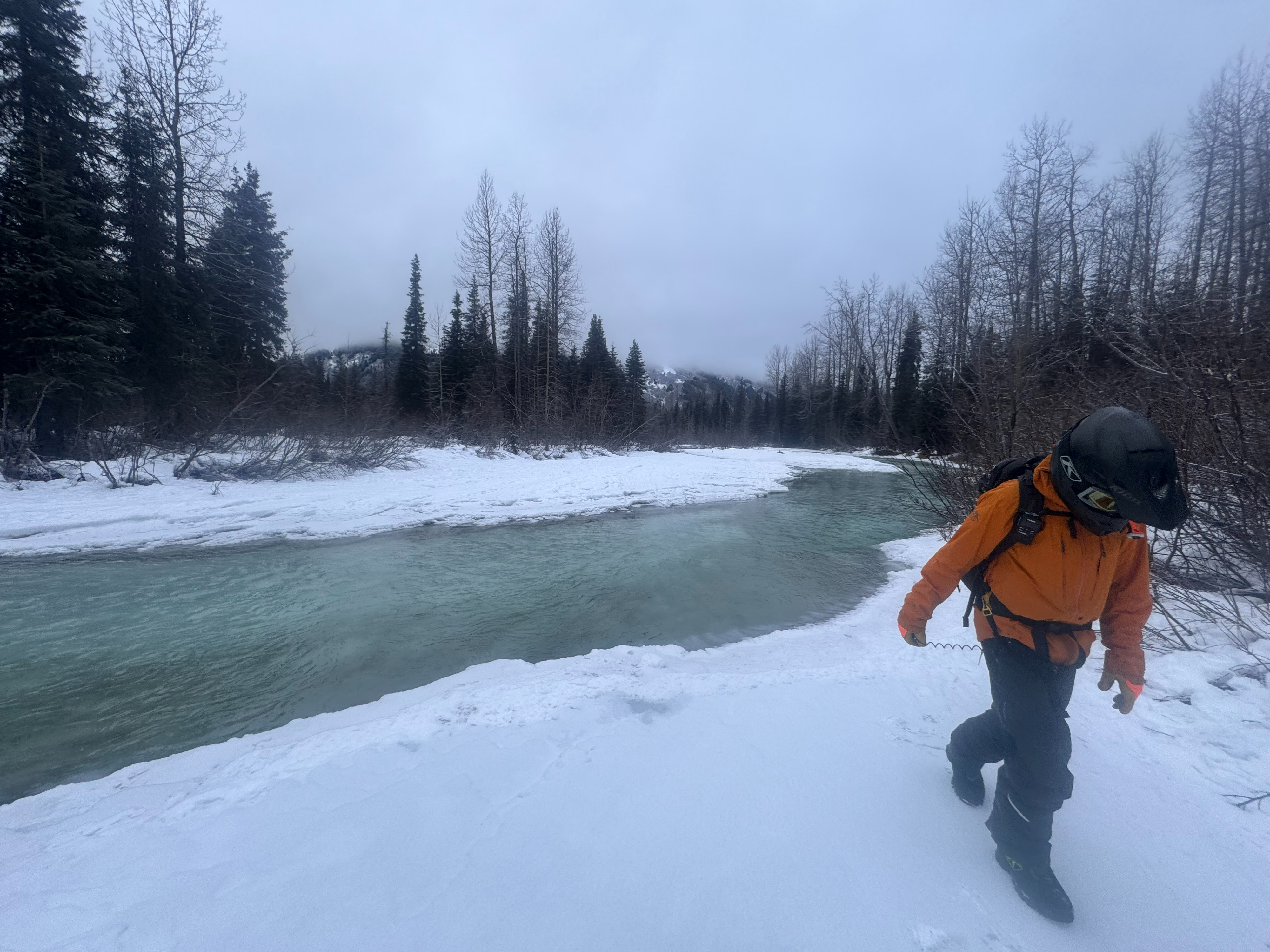
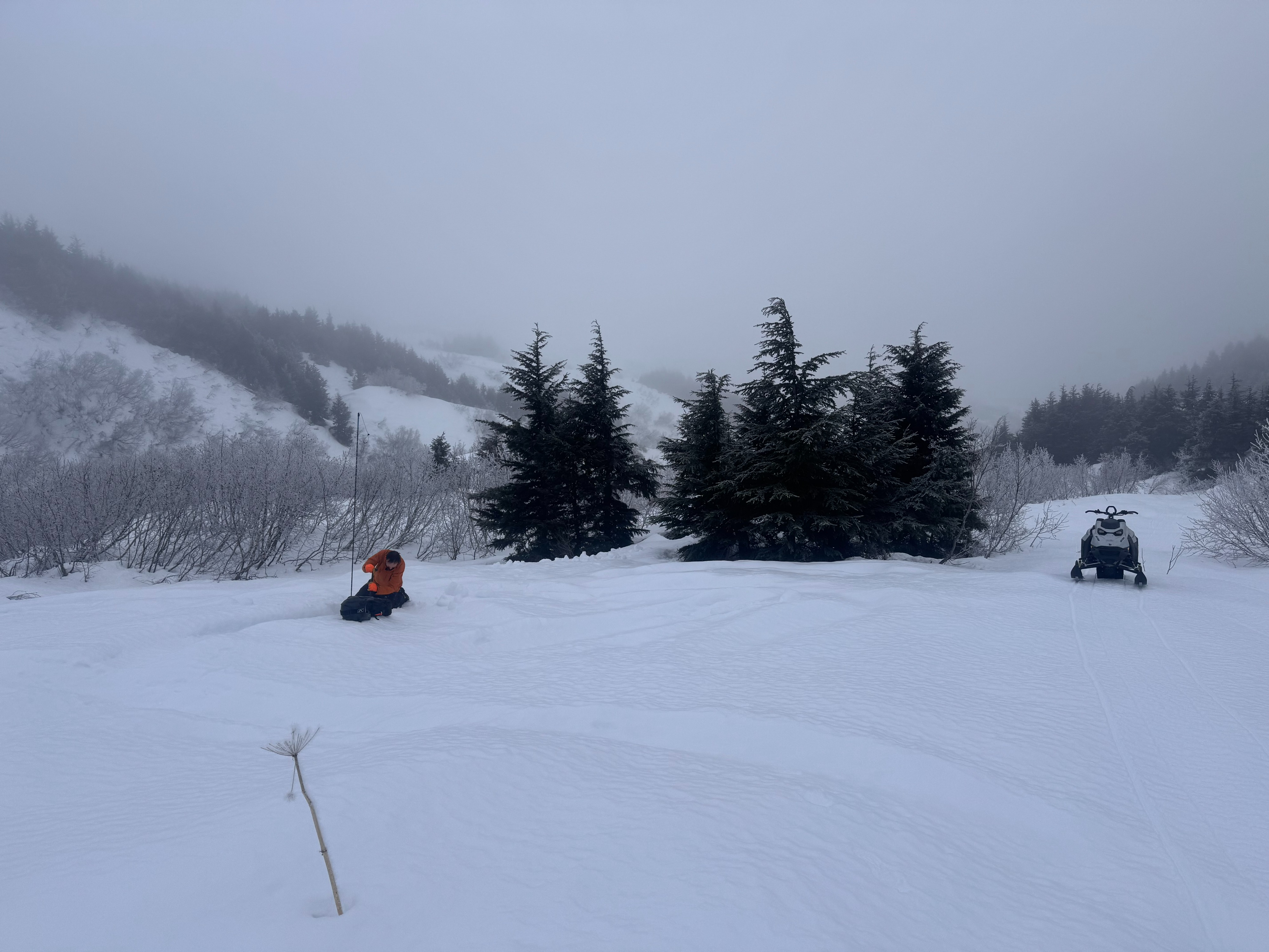
We rode up to the Lynx Creek basin today with the goal of getting above the rain crust that has locked up most of the mid elevations around Turnagain. After an Oregon Trail–like crossing of Center Creek, we continued up the Lynx Creek trail to an elevation of about 1,700 feet. Trail conditions were icy until about 900–1,000 feet, where they transitioned to a very firm, snowmachine-supportive crust. We stopped at 1,700 feet as the clouds settled in around us, making for very limited visibility. While we waited for the visibility to improve, we took the opportunity to practice our rescue skills.
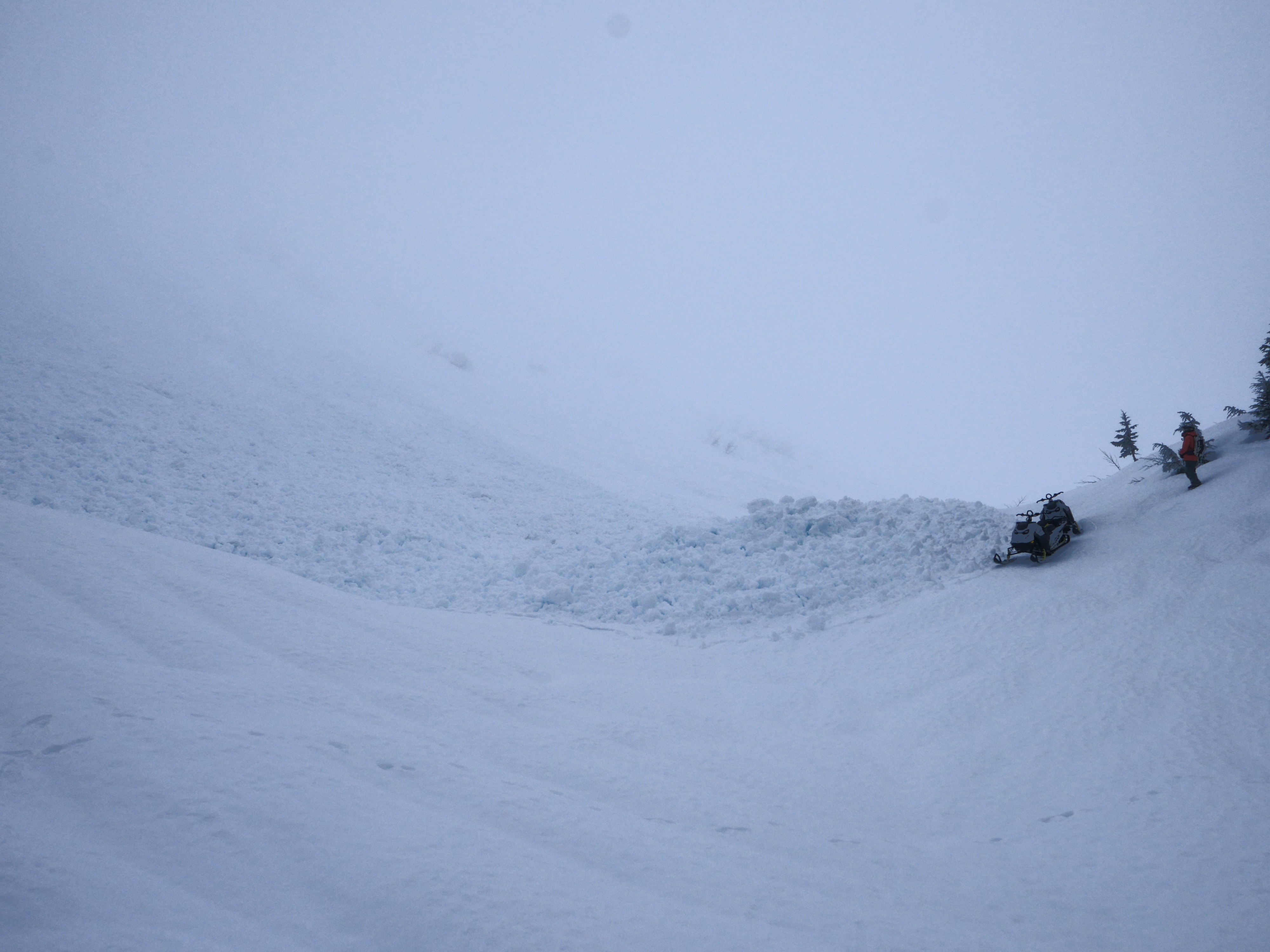
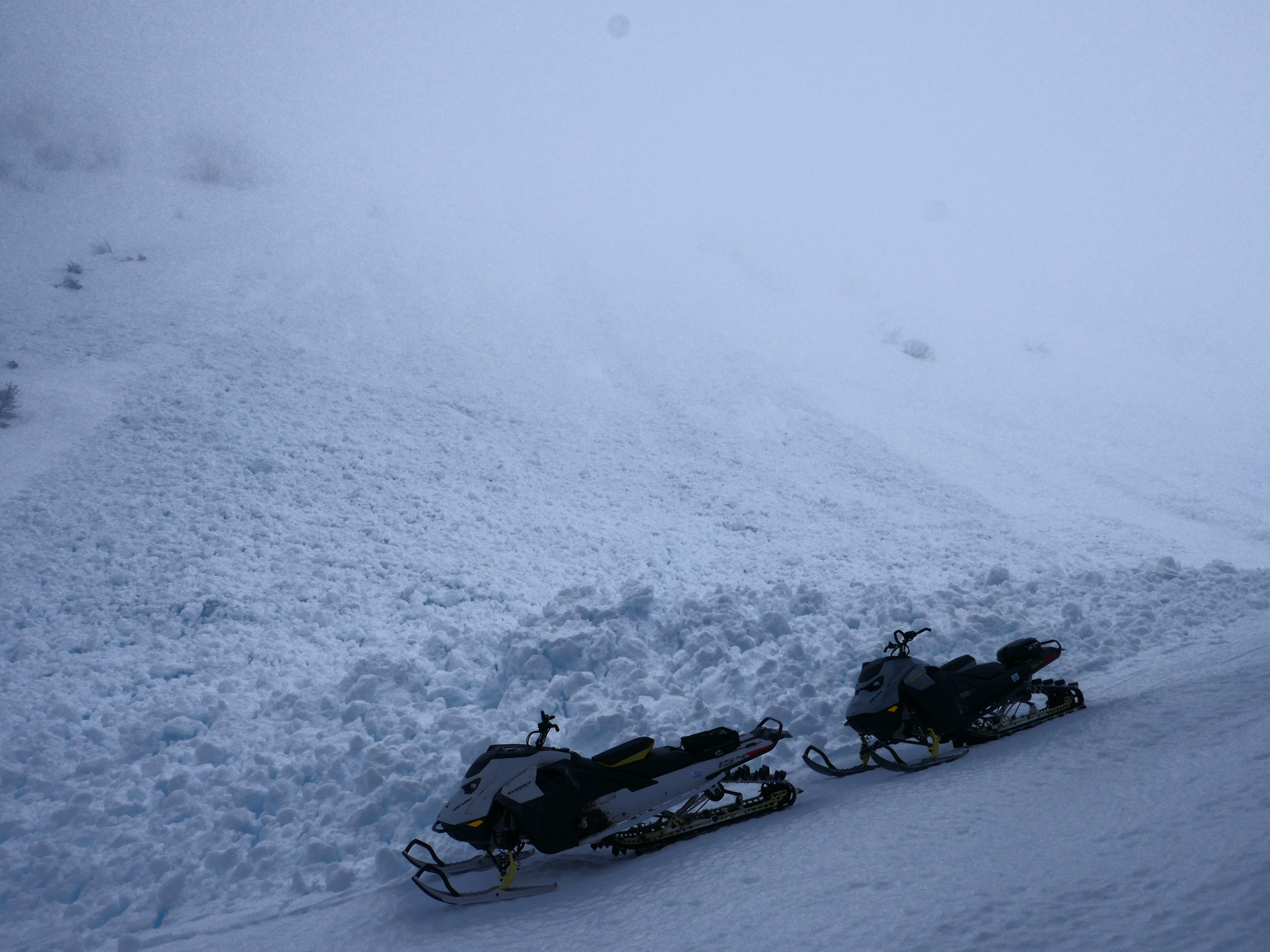
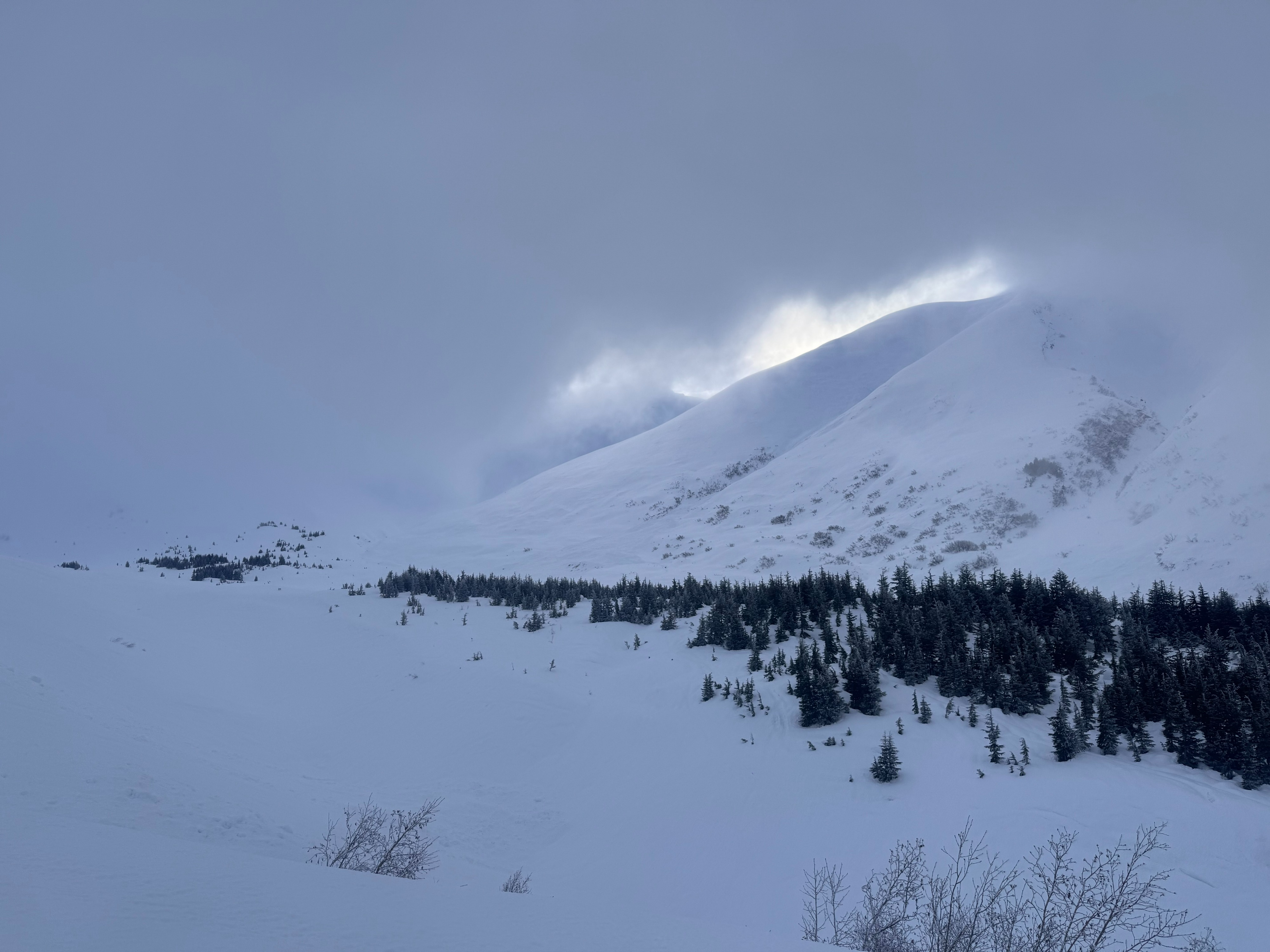
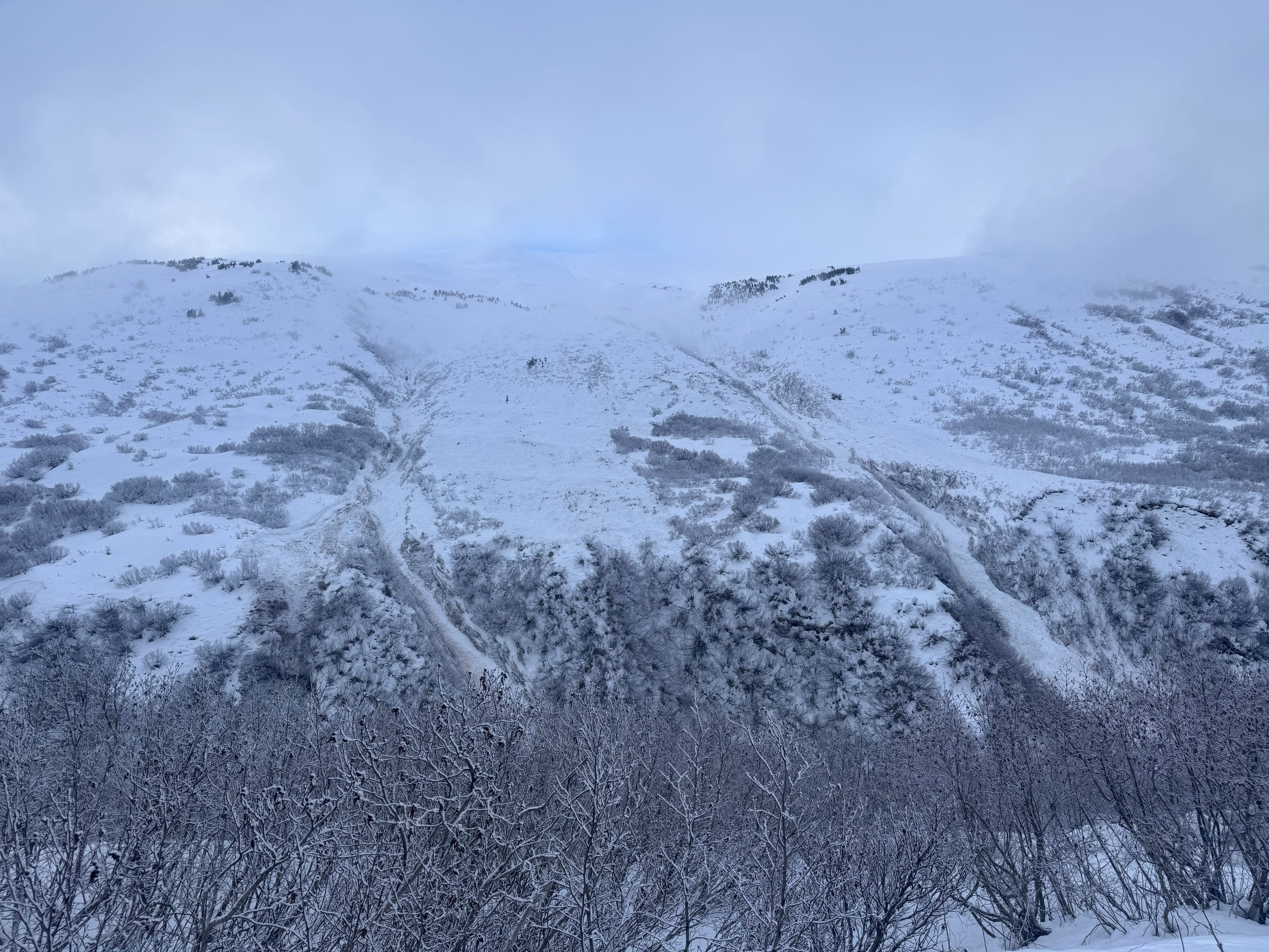
Around 3:00 p.m., the clouds briefly lifted and we caught a few choice glimpses into the upper elevation bands. Notably, we observed significant amounts of debris that had come down from the west-facing shoulder of West Groundhog Peak. One D2.5 avalanche in particular was worth mentioning, as its debris had buried a good portion of the commonly used traverse. This was a good reminder of the overhead hazard in this area. All of these West Groundhog avalanches appeared to have occurred after the most recent loading event (January 28–30).
On the way back to the truck, we also observed two avalanche paths on an east-facing slope that contained a large amount of wet debris. The timeframe is unknown, but they most likely occurred during the warm, wet weather last week.
Weather
- Air Temp
- 28
- Cloud Cover
- overcast
- Wind Loading
- light
- Rain Elevation
- not observed
- Recent Snowfall
- 0
- Snow Avail For Transport
- small smounts
Mid twenty degree weather with a dense cloud layer for most of the day. The sky broke up slightly towards the end of the day and we got a few glimpses of the alpine.
Avalanche
Although the start zones were obscured by dense clouds, we noted significant debris in most of the common avalanche paths on West Groundhog Peak. Some looked older than others, but all appeared to have come down during or after the January 28–30 storm cycle.