
Quick report
The incoming storm will fall on either melt/freeze crusts on sunny slopes or surface hoar/near surface facets on west through north through east slopes. Northerly slopes have a very poor interface for the incoming storm and sunny slopes have a clear bed surface for the new snow to slide on. Now we wait and see if the incoming storm produces.
Weather
- Cloud Cover
- broken
- Recent Snowfall
- .5
- Snow Avail For Transport
- small smounts
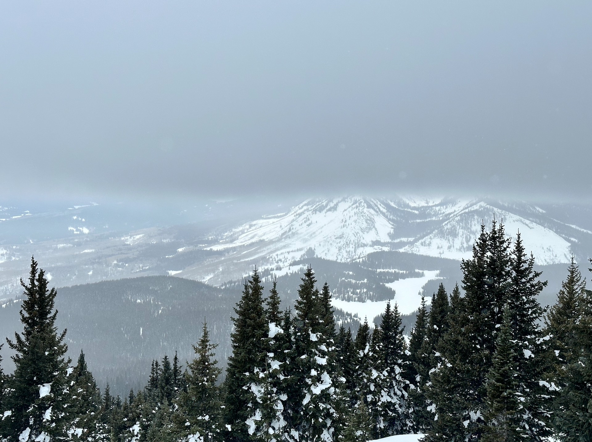
Clouds quickly increased in the morning with skies becoming overcast to mostly cloudy by the afternoon. Around noon a thick bank of low clouds covered the area with the ceiling at 12,000 feet and dropped a skiff of new snow, about 1/4".
Snowpack
Surface hoar is alive and well in this area on the north half of the compass at all elevations. Sizes generally between 1 and 2 cm! I intentionally looked at southerly-facing terrain just below 12,000 feet to find out if clear skies on Wednesday night produced more surface hoar on sunny slopes, but it appears like most sunny slopes have burned off surface hoar from previous sunny skies. One small exception would be sunny slopes at low elevations in cold sinks. Here surface hoar was laying flat in a melted, funky matrix just above the melt/freeze crust. This doesn't appear to be a significant issue but it lingered down low in cold, sunny places, unlike higher sunny slopes where it was fully burned off.
Beneath the surface hoar on shaded slopes is a 6 inch thick layer of facets that made the skiing nice, but will make a poor foundation for incoming snow. Sunny slopes near12,000 feet had crusts 2 to 3 inches thick; these slopes look to have enough surface strength to prevent avalanches from breaking deeper during the upcoming storm.