
Quick report
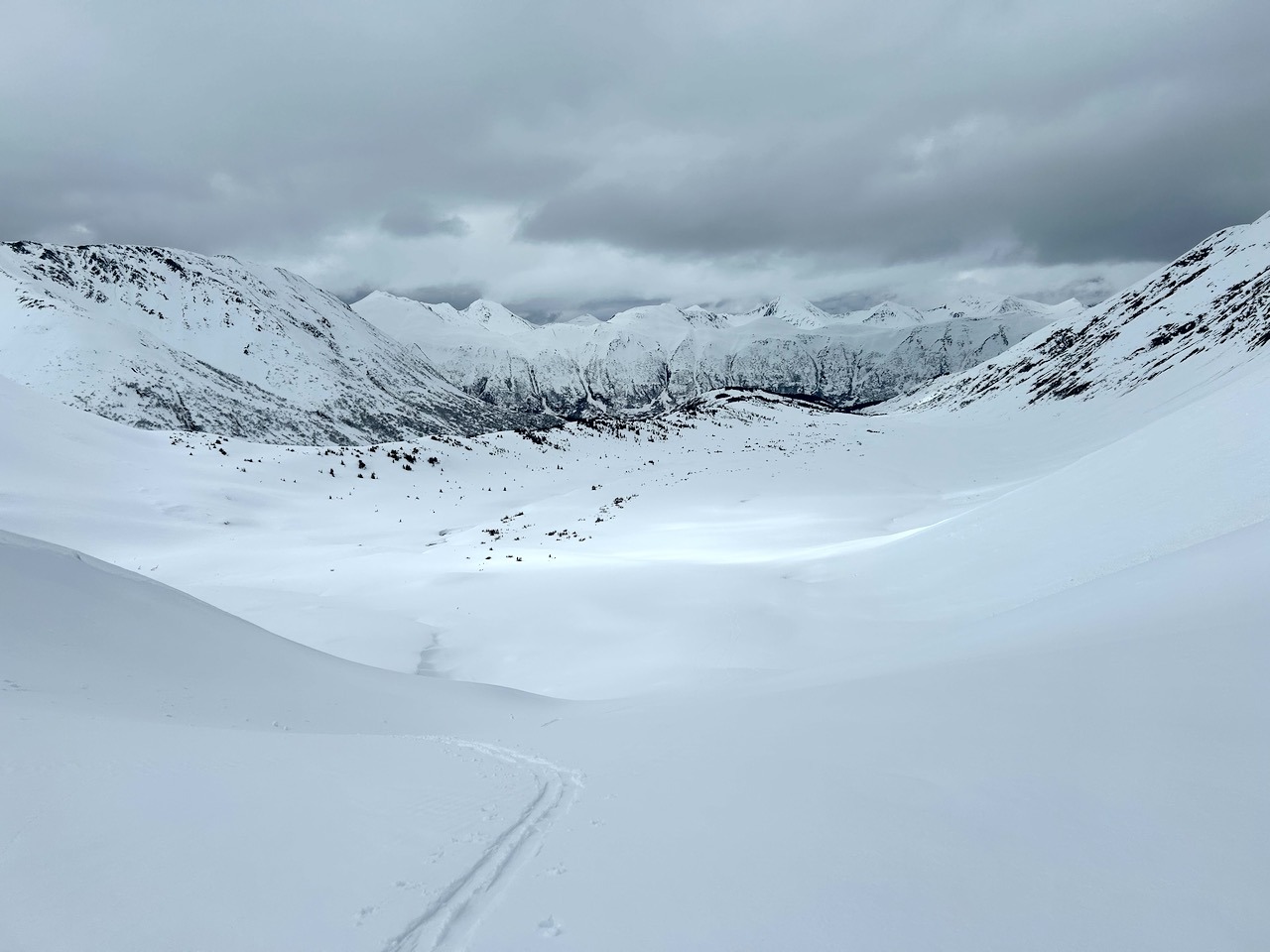
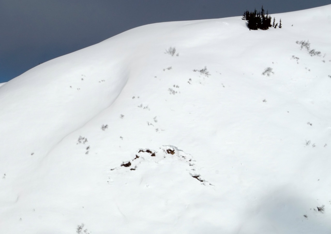
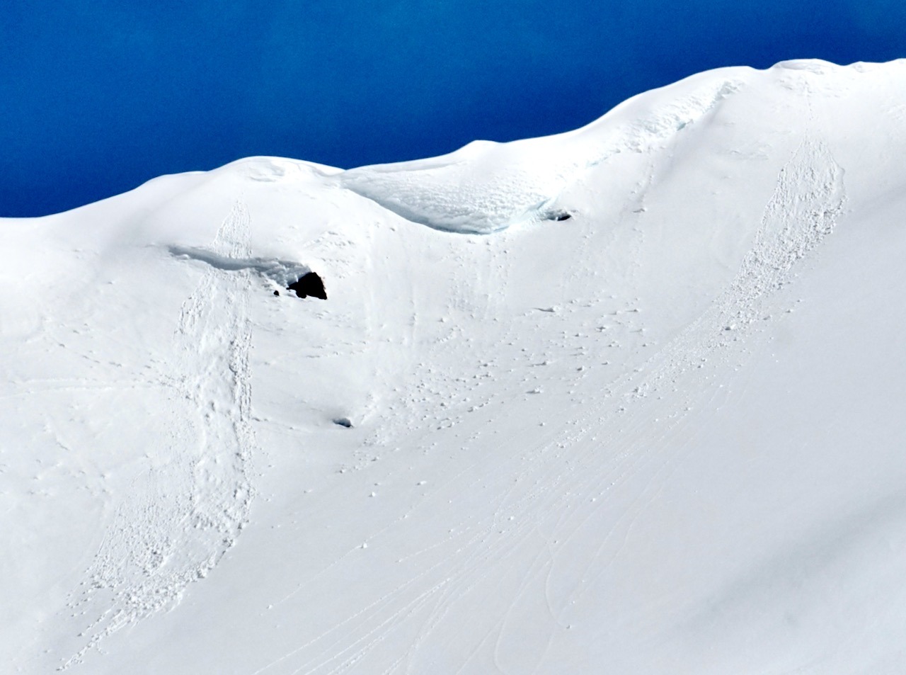
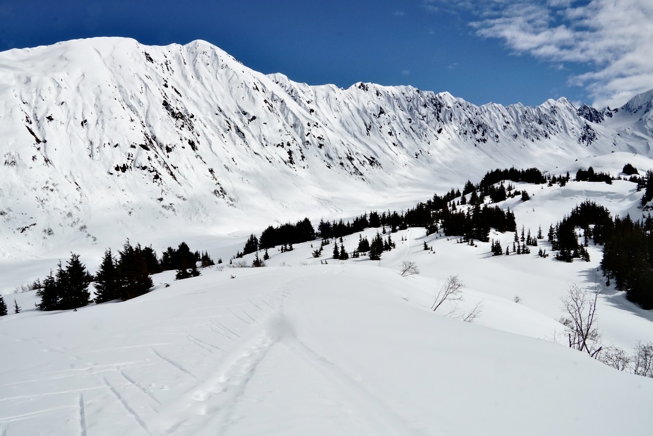
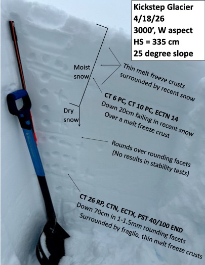
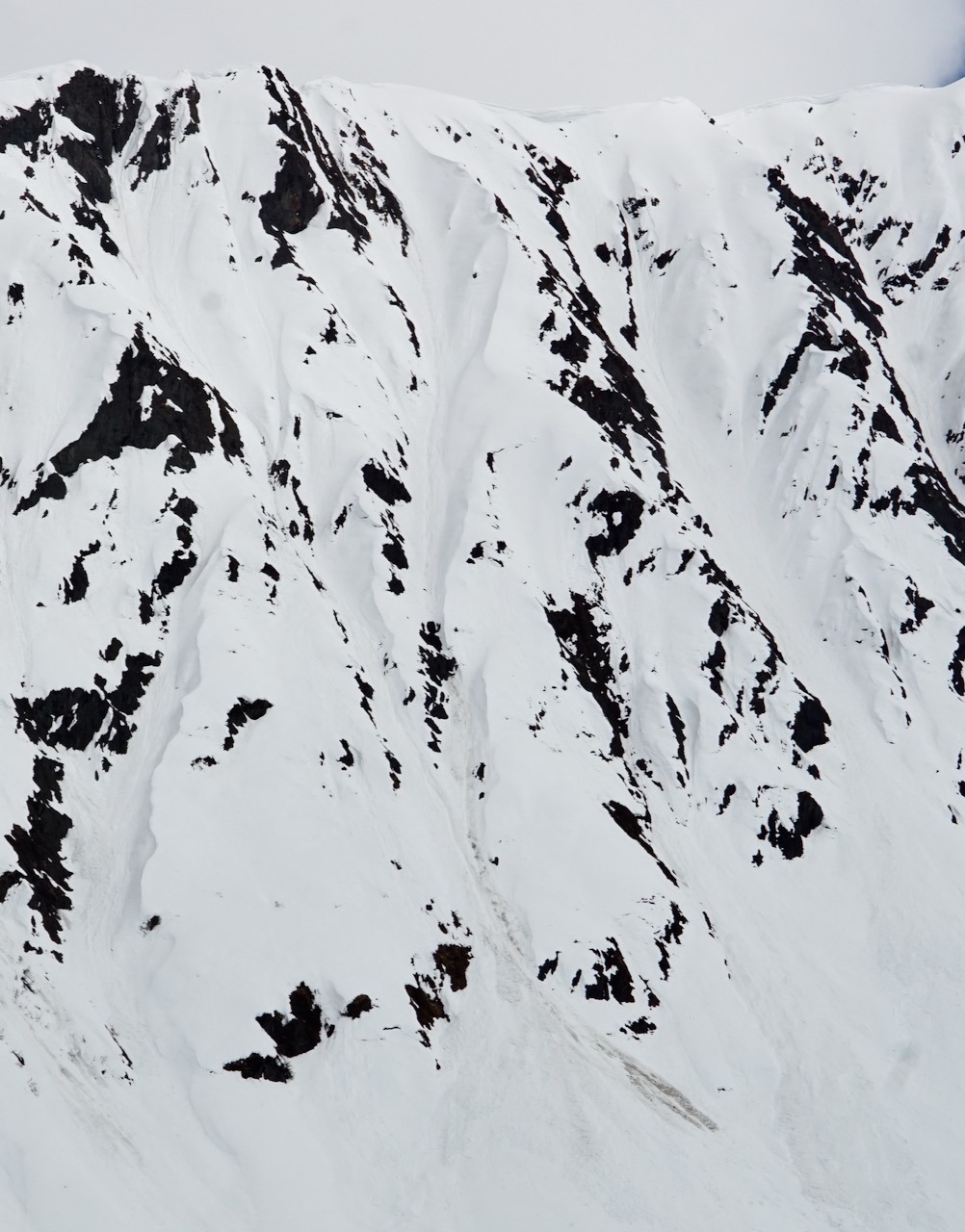
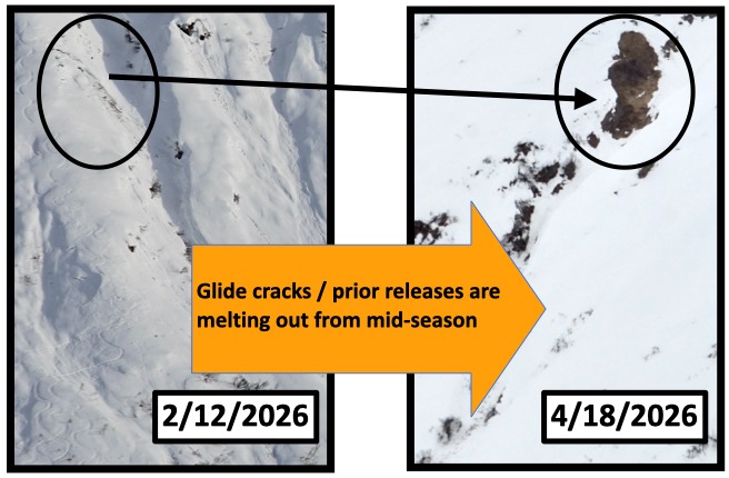
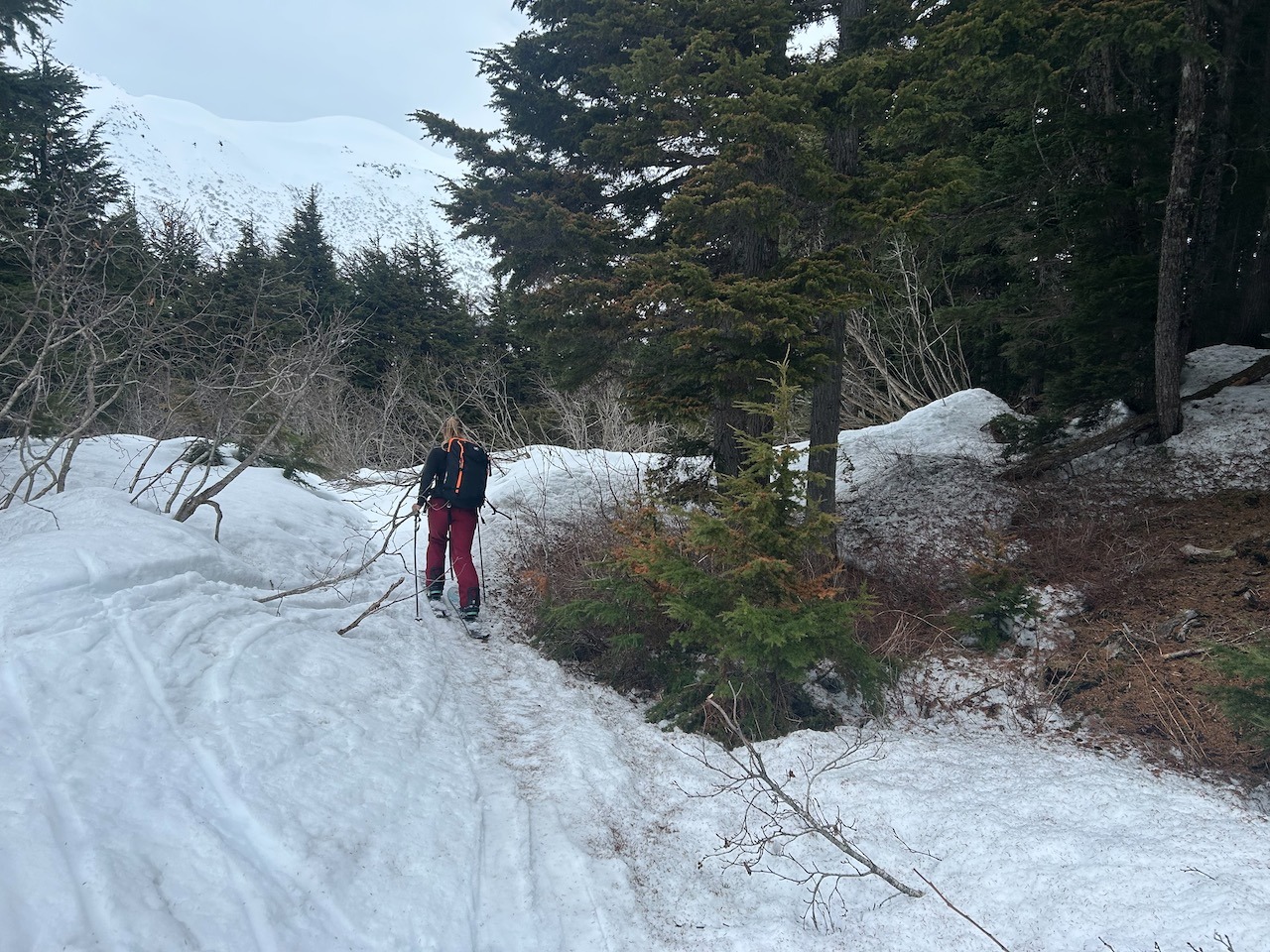
Route: Kickstep Glacier to 3000' via Center Ridge, Noon - 5:30 PM Weather: Broken skies transitioning to overcast with the sun breaking through occasionally in the afternoon. HOT - above freezing all day - and while the clouds were thick, it felt like the sun was still warming things up. Occasional light east winds above 2000. Red Flags/Signs of Instability: Some unremarkable recent D1-1.5 wet loose avalanches initiating near rocks on the steep slopes of the library. Given the time of the year, it's surprising that there isn't more recent activity on those steep, solar aspect slopes. Some glide cracks are 'appearing' on the steep, southerly slopes of Tincan Proper and the Library, but I suspect that these are older 'gaping' cracks that didn't release mid-winter and they are simply being exposed as the snowpack melts from sun and warm temperatures. A old glide release from mid-winter has melted down to the ground on a similar elevation and aspect to these cracks - see photo for the difference that two months makes - and time will tell if cracks are on the move, or are simply melting out. Snow Surface: Recent new surface snow was either moist or wet on all aspects/elevations traveled - how wet or moist was determined by slope steepness, aspect, and elevation. At noon: A thin dusting of wet grains sat on a nearly supportable crust at the road elevation and higher, with the only exception being steep solar aspects. At 5:30 PM: The snow surface was no longer consistently ski supportable below 1500' on all aspects/slope angles. From 1500-3000' northern aspects, flat ground, and low angle solar aspects were still skier supportable, while you would punch through on steeper solar slopes. Snowpack: Ski pole probing and quick hand pits revealed that water content and grain types of the top 2' of the snowpack varied greatly by elevation, aspect, AND slope angle along our entire route. As of 5:30 PM, below 1500', we generally found a non-supportable 2-3" melt freeze crust with wet, large grains below it. From 1500' - 2000', 1-2" of moist or wet recent snow sat over a melt freeze crust. Grains below this crust were large, loose, and wet on steep solar aspects, while on northern aspects or the flats moist smaller rounds or rounding facets made up the snowpack to the early February crust. 2000-3000': 1-2" of moist snow sat over a supportable layer of large grain melt freeze crust on solar aspects, or a firm layer of rounds on flats/northern aspects. The top foot of the snowpack was moist on northerly aspects/flats, while wet larger grains could still be found on steeper solar aspects. See photos for a pit on a low angle, west aspect slope at 3000'. The pit location was chosen in search of a spot where the early-February crust would be thin but still present. Fairly unremarkable stability test results, though a thin layer of facets - potentially the 'faceting out' of the early-February crust? - had somewhat poor structure, and had an unstable result in a PST while it did not react in an ECT. The similarity in aspect, elevation, and structure to the small Taylor Pass avalanche that was profiled on 4/13 makes me wonder if this is the same layer!